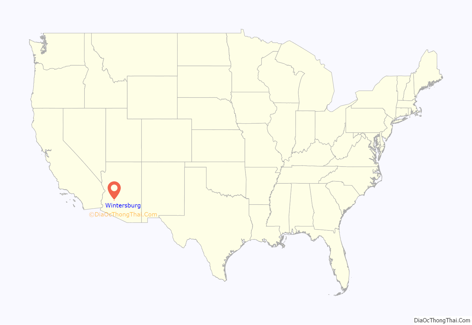
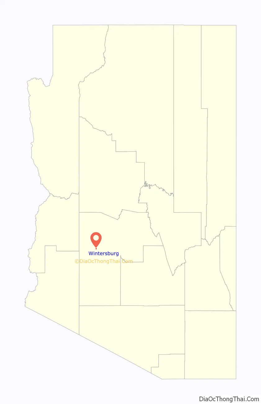
Wintersburg is an unincorporated community and census-designated place in Maricopa County, Arizona, United States, located 48 miles (77 km) west of downtown Phoenix and 17 miles (27 km) west of Buckeye along Salome Highway. It is 4 miles (6 km) south of Exit 98 on Interstate 10. As of the 2020 census, Wintersburg had a population of 51, down from 136 in 2010.
Wintersburg is home to the Palo Verde Nuclear Generating Station, the largest nuclear power plant in the United States.
| Name: | Wintersburg CDP |
|---|---|
| LSAD Code: | 57 |
| LSAD Description: | CDP (suffix) |
| State: | Arizona |
| County: | Maricopa County |
| Elevation: | 1,008 ft (307 m) |
| Total Area: | 0.59 sq mi (1.53 km²) |
| Land Area: | 0.59 sq mi (1.53 km²) |
| Water Area: | 0.00 sq mi (0.00 km²) |
| Total Population: | 51 |
| Population Density: | 86.15/sq mi (33.24/km²) |
| ZIP code: | 85354 (Tonopah) |
| FIPS code: | 0484000 |
Online Interactive Map
Click on ![]() to view map in "full screen" mode.
to view map in "full screen" mode.
Wintersburg location map. Where is Wintersburg CDP?
Wintersburg Road Map
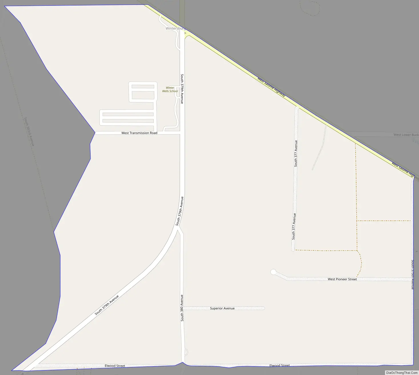
Wintersburg city Satellite Map

See also
Map of Arizona State and its subdivision: Map of other states:- Alabama
- Alaska
- Arizona
- Arkansas
- California
- Colorado
- Connecticut
- Delaware
- District of Columbia
- Florida
- Georgia
- Hawaii
- Idaho
- Illinois
- Indiana
- Iowa
- Kansas
- Kentucky
- Louisiana
- Maine
- Maryland
- Massachusetts
- Michigan
- Minnesota
- Mississippi
- Missouri
- Montana
- Nebraska
- Nevada
- New Hampshire
- New Jersey
- New Mexico
- New York
- North Carolina
- North Dakota
- Ohio
- Oklahoma
- Oregon
- Pennsylvania
- Rhode Island
- South Carolina
- South Dakota
- Tennessee
- Texas
- Utah
- Vermont
- Virginia
- Washington
- West Virginia
- Wisconsin
- Wyoming


