Milford is a city in Kent and Sussex counties in the U.S. state of Delaware. According to the 2020 census, the population of the city is 11,190 people and 4,356 households in the city.
The Kent County portion of Milford is part of the Dover, DE Metropolitan Statistical Area and the Philadelphia–Reading–Camden, PA–NJ-DE-MD Combined Statistical Area, while the Sussex County portion is part of the Salisbury, MD-DE Metropolitan Statistical Area.
| Name: | Milford city |
|---|---|
| LSAD Code: | 25 |
| LSAD Description: | city (suffix) |
| State: | Delaware |
| County: | Kent County, Sussex County |
| Incorporated: | February 5, 1807 |
| Elevation: | 13 ft (4 m) |
| Total Area: | 9.94 sq mi (25.75 km²) |
| Land Area: | 9.85 sq mi (25.52 km²) |
| Water Area: | 0.09 sq mi (0.23 km²) |
| Total Population: | 11,190 |
| Population Density: | 1,135.58/sq mi (438.47/km²) |
| ZIP code: | 19963 |
| Area code: | 302 |
| FIPS code: | 1047420 |
| GNISfeature ID: | 214308 |
| Website: | www.cityofmilford.com |
Online Interactive Map
Click on ![]() to view map in "full screen" mode.
to view map in "full screen" mode.
Milford location map. Where is Milford city?


History
The Kent County side of Milford was first settled in 1680 by Henry Bowan on what was known as the Saw Mill Range. A century later the Reverend Sydenham Thorne built a dam across the Mispillion River to generate power for his gristmill and sawmill. Around the same time, Joseph Oliver laid out the first city streets and plots nearby on a part of his plantation. Soon a number of homes and businesses appeared along Front Street. The city was incorporated February 5, 1807.
In the 1770s, a ship building industry was already flourishing on the Mispillion River. Shipbuilding continued to be the major industry of Milford through World War I, bringing considerable prosperity to the town. The high point came in 1917 when the four-masted, 174-foot (53 m) long Albert F. Paul was launched from the William G. Abbott shipyard. At one point six shipyards were operating in the downtown area. When the last of the area’s giant white oaks was cut in the 1920s, the shipyards quickly went out of business, although the Mispillion ships sailed on for many years. (The Paul was sunk by a German torpedo in 1942 while sailing from the Bahamas.) The Vineyard shipyard was called into service in both World War I and II to build submarine chasers.
During much of the twentieth century Milford served primarily as the commercial center for much of southern Delaware’s large agricultural community.
Seven of Delaware’s governors have come from Milford: Daniel Rogers (who served 1797–99), Joseph Haslet (1811–14), William Tharp (1847–1851), Peter F. Causey (1855–59), William Burton (1859–63), William T. Watson (1895–97), and Ruth Ann Minner (2001–09).
Abbott’s Mill, Bank House, Carlisle House, Christ Church, Dr. Dawson House, Draper House, Egglinton Hall, Golden Mine, Grier House, Peter Lofland House, James McColley House, Milford New Century Club, Milford Railroad Station, Milford Shipyard Area Historic District, Mill House, Mispillion Lighthouse and Beacon Tower, North Milford Historic District, Old Fire House, Parson Thorne Mansion, South Milford Historic District Walnut Farm, Gov. William T. Watson Mansion, and J. H. Wilkerson & Son Brickworks are listed on the National Register of Historic Places.
On Friday, May 30, 2003 at approximately 3:00 p.m. a fire started in a second floor apartment next to Wiley Hardware & Appliance on Walnut Street in the historic downtown section of Milford. More than 200 firefighters from Milford, Ellendale, Harrington, Felton, Dover, Smyrna, Houston, Frederica, Slaughter Beach, Bowers Beach, Greenwood, South Bowers, Farmington, Magnolia, Cheswold, Lewes, Georgetown, and Bridgeville in Delaware and Greensboro and Goldsboro in Maryland fought the blaze which destroyed seven businesses, a church, and three apartments, destroying an entire city block in the historic section of town. No one was killed in the blaze, but one civilian and six firefighters were injured.
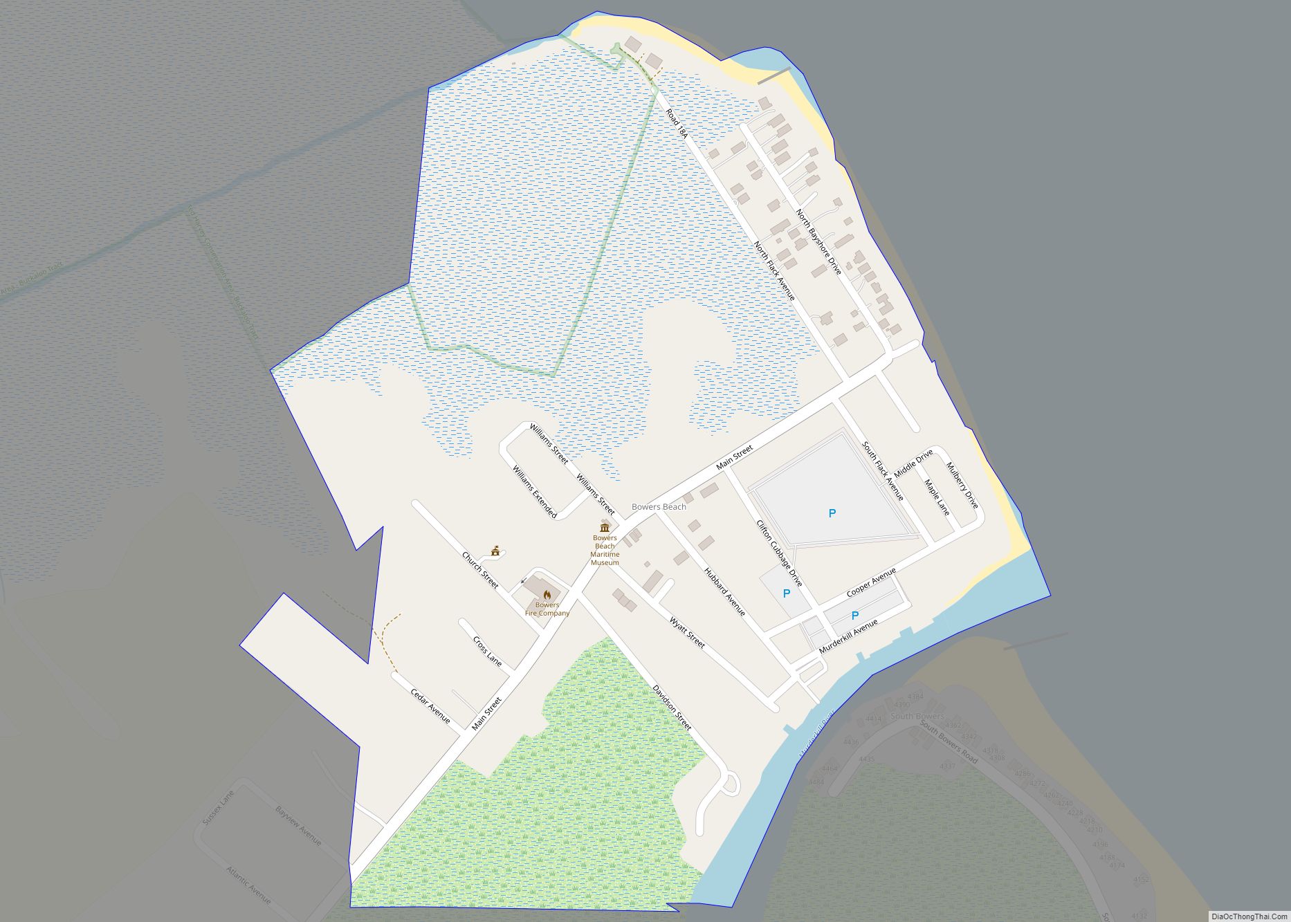
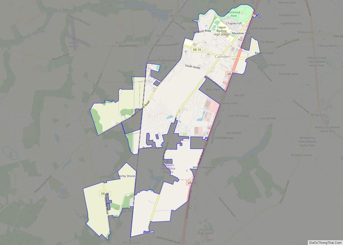
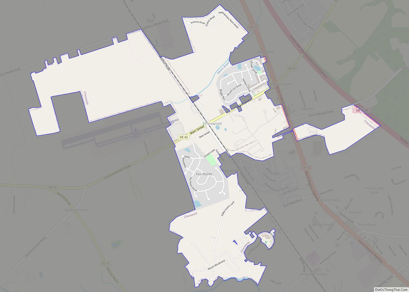
Milford Road Map

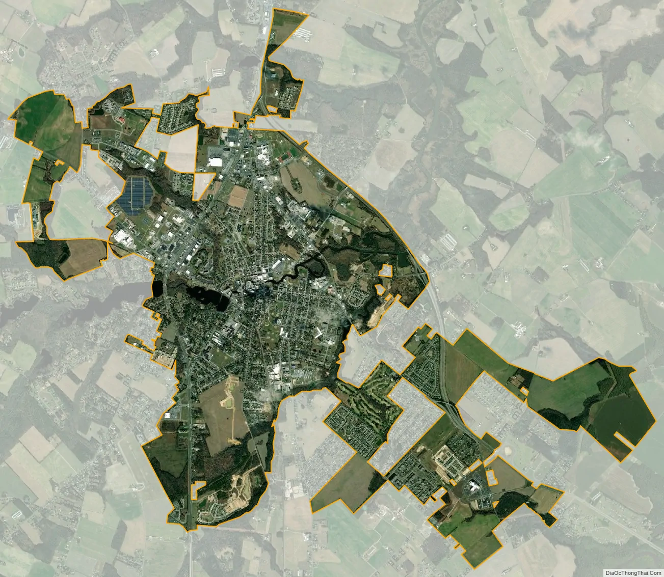
Milford city Satellite Map
Geography
Milford is located at 38°54′45″N 75°25′41″W / 38.91250°N 75.42806°W / 38.91250; -75.42806 (38.9126129, −75.4279748), along the Mispillion River, which runs through the city.
According to the United States Census Bureau, the city has a total area of 9.87 square miles (25.6 km).
See also
Map of Delaware State and its subdivision: Map of other states:- Alabama
- Alaska
- Arizona
- Arkansas
- California
- Colorado
- Connecticut
- Delaware
- District of Columbia
- Florida
- Georgia
- Hawaii
- Idaho
- Illinois
- Indiana
- Iowa
- Kansas
- Kentucky
- Louisiana
- Maine
- Maryland
- Massachusetts
- Michigan
- Minnesota
- Mississippi
- Missouri
- Montana
- Nebraska
- Nevada
- New Hampshire
- New Jersey
- New Mexico
- New York
- North Carolina
- North Dakota
- Ohio
- Oklahoma
- Oregon
- Pennsylvania
- Rhode Island
- South Carolina
- South Dakota
- Tennessee
- Texas
- Utah
- Vermont
- Virginia
- Washington
- West Virginia
- Wisconsin
- Wyoming