Cochituate (/koʊˈtʃɪtʃuɪt/; koh-CHIT-choo-it) is a census-designated place (CDP) in the town of Wayland in Middlesex County, Massachusetts, United States. The population was 6,569 at the 2010 census.
| Name: | Cochituate CDP |
|---|---|
| LSAD Code: | 57 |
| LSAD Description: | CDP (suffix) |
| State: | Massachusetts |
| County: | Middlesex County |
| Elevation: | 174 ft (53 m) |
| Total Area: | 4.17 sq mi (10.79 km²) |
| Land Area: | 3.81 sq mi (9.86 km²) |
| Water Area: | 0.36 sq mi (0.92 km²) |
| Total Population: | 6,927 |
| Population Density: | 1,818.59/sq mi (702.18/km²) |
| ZIP code: | 01778 |
| Area code: | 508 |
| FIPS code: | 2514570 |
| GNISfeature ID: | 0611909 |
Online Interactive Map
Click on ![]() to view map in "full screen" mode.
to view map in "full screen" mode.
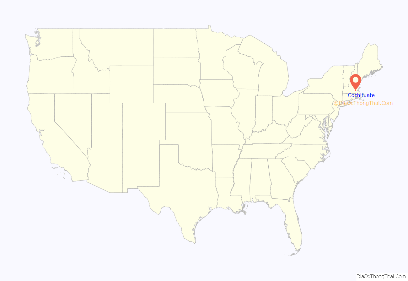
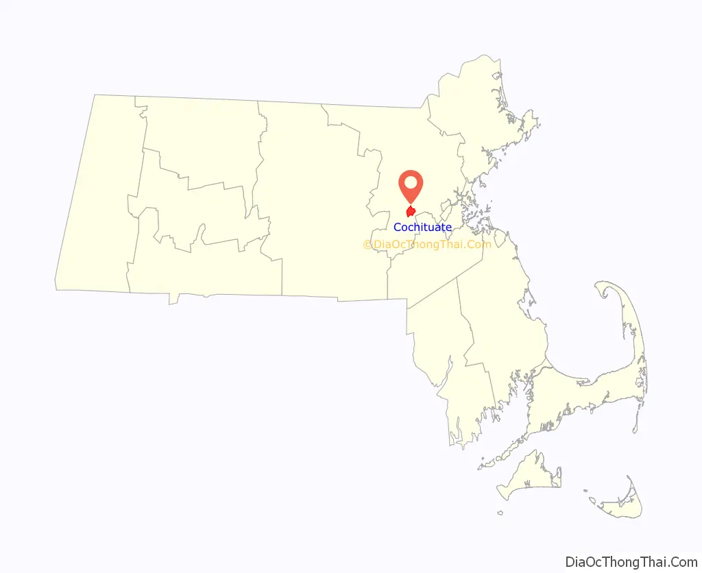
Cochituate location map. Where is Cochituate CDP?
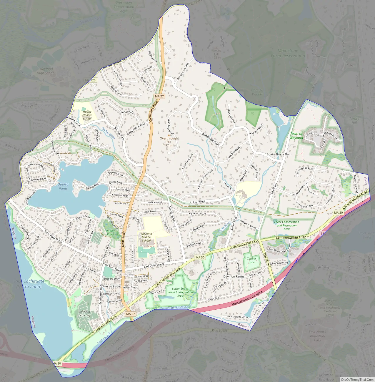
Cochituate Road Map
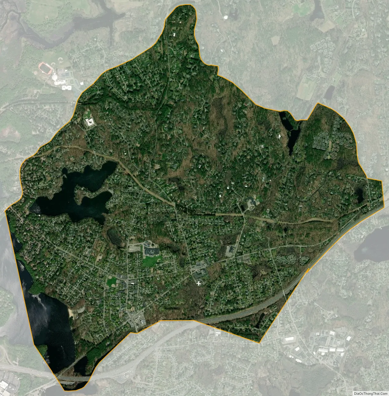
Cochituate city Satellite Map
Geography
Cochituate is located at 42°19′40″N 71°21′37″W / 42.32778°N 71.36028°W / 42.32778; -71.36028.
According to the United States Census Bureau, the CDP has a total area of 10.8 km (4.2 mi). 9.9 km (3.8 mi) of it is land and 0.8 km (0.3 mi) of it (7.69%) is water.
It is home to Lake Cochituate and Dudley Pond. Both are used by residents year round; in the summer for boating and fishing, and in the winter for ice fishing. There is a beach where Waylanders can pay for a membership. Lake Cochituate, which consists of four ponds connected by shallow, narrow waterways, is located in the towns of Natick, Framingham, and Wayland, Mass., 16 miles west of Boston. Lake Cochituate lies in the Sudbury River Basin; cochituate means “swift river” in the Algonquin language (Wilbur, 1978) and refers to Cochituate Brook (Schaller and Prescott, 1998), which connects the lake to the Sudbury River.
See also
Map of Massachusetts State and its subdivision: Map of other states:- Alabama
- Alaska
- Arizona
- Arkansas
- California
- Colorado
- Connecticut
- Delaware
- District of Columbia
- Florida
- Georgia
- Hawaii
- Idaho
- Illinois
- Indiana
- Iowa
- Kansas
- Kentucky
- Louisiana
- Maine
- Maryland
- Massachusetts
- Michigan
- Minnesota
- Mississippi
- Missouri
- Montana
- Nebraska
- Nevada
- New Hampshire
- New Jersey
- New Mexico
- New York
- North Carolina
- North Dakota
- Ohio
- Oklahoma
- Oregon
- Pennsylvania
- Rhode Island
- South Carolina
- South Dakota
- Tennessee
- Texas
- Utah
- Vermont
- Virginia
- Washington
- West Virginia
- Wisconsin
- Wyoming


