Framingham (/ˈfreɪmɪŋhæm/ (listen)) is a city in the Commonwealth of Massachusetts in the United States. Incorporated in 1700, it is located in Middlesex County and the MetroWest subregion of the Greater Boston metropolitan area. The city proper covers 25 square miles (65 km) with a population of 72,362 in 2020, making it the 14th most populous municipality in Massachusetts. Residents voted in favor of adopting a charter to transition from a representative town meeting system to a mayor–council government in April 2017, and the municipality transitioned to city status on January 1, 2018. Before it transitioned, it had been the largest town by population in Massachusetts.
The city has one of the largest Brazilian American populations in the United States, with a considerable Brazilian presence since the 1980s.
| Name: | Framingham city |
|---|---|
| LSAD Code: | 25 |
| LSAD Description: | city (suffix) |
| State: | Massachusetts |
| County: | Middlesex County |
| Elevation: | 165 ft (50 m) |
| Total Area: | 26.50 sq mi (68.65 km²) |
| Land Area: | 25.04 sq mi (64.86 km²) |
| Water Area: | 1.46 sq mi (3.78 km²) |
| Total Population: | 72,362 |
| Population Density: | 2,889.39/sq mi (1,115.61/km²) |
| Area code: | 508/774 |
| FIPS code: | 2524960 |
| GNISfeature ID: | 0618224 |
| Website: | www.framinghamma.gov |
Online Interactive Map
Click on ![]() to view map in "full screen" mode.
to view map in "full screen" mode.
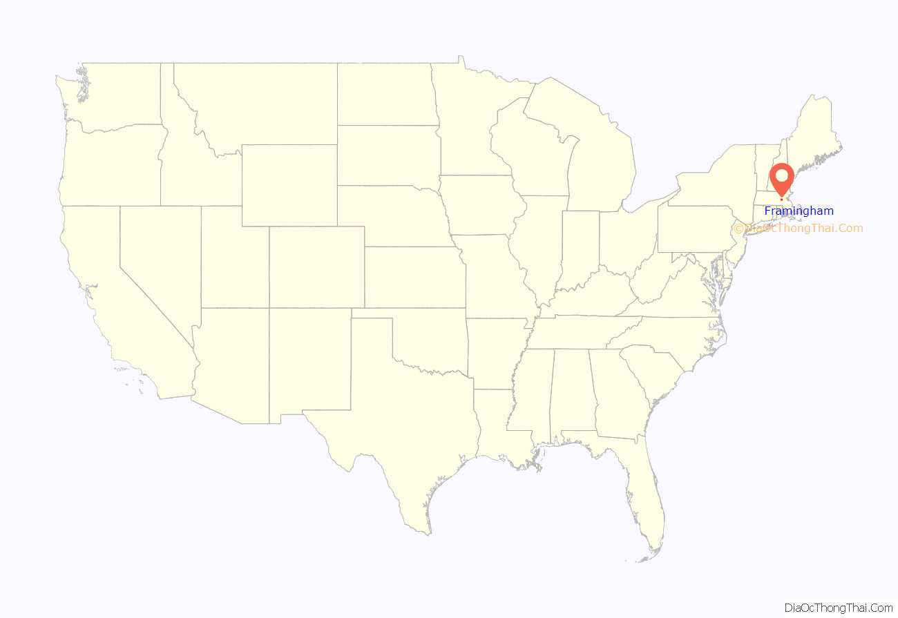
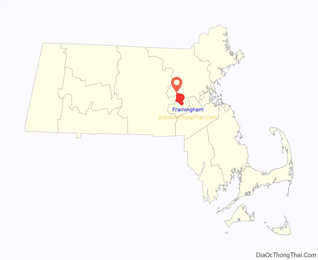
Framingham location map. Where is Framingham city?
History
Prior to European colonization, the region around Framingham was inhabited by the indigenous Nipmuc. They lived in settlements established alongside the Washakamaug (“eel fishing place”) or what is today called Farm Pond. The Nipmuc people used game management techniques through the hunting of deer and beaver, fishing in ponds and streams, as well as established growing areas for the Three Sisters (squash, corn, beans) in the nearby hills. The ancient Native trail later known as the Old Connecticut Path also ran through this area. During the initial period of colonization of the region by Puritan settlers, the Nipmuc suffered a rapid decline in population due to the introduction of foreign infectious diseases to which they had no immunity and violence related to settler colonialism. Many of the Nipmuc people were forced into praying towns including nearby Natick.
The first European settler in the area was John Stone who established a farm on the west bank of the Sudbury River in 1647. In 1660, Thomas Danforth, an official of the Bay Colony received a grant of land at “Danforth’s Farms” and began to accumulate over 15,000 acres (100 km).
Between 1675-1676, King Philip’s War created great tensions between English settlers and the Nipmuc people in the area. During this time, Nipmuc leader Tantamous, who lived on Nobscot Hill and who resisted Christianization by the English, was arrested with his family members and other Nipmuc men by the colonial government in 1676 for what the colony deemed treason and they were incarcerated on Deer Island. He would escape, be recaptured, and later hung on Boston Common. In January 1676, a group of Nipmuc men went to the Eames family homestead to demand that they return a stolen corn harvest. Although the historical record is unclear as to the exact details, this would result in an outbreak of violence between the Nipmuc men and the Eames family, where Mary Eames and five children were killed.
As more settlers moved to the town, it would be named Framlingham after Thomas Danforth’s hometown in England. Over time, Thomas Danforth strenuously resisted petitions for incorporation of the town, which was officially incorporated in 1700, following his death the previous year. Why the “L” was dropped from the new town’s name is not known. The first church was organized in 1701, the first teacher was hired in 1706, and the first permanent schoolhouse was built in 1716.
On February 22, 1775, the British general Thomas Gage sent two officers and an enlisted man out of Boston to survey the route to Worcester, Massachusetts. In Framingham, those spies stopped at Buckminster’s Tavern. They watched the town militia muster outside the building, impressed with the men’s numbers but not their discipline. Though “the whole company” came into the tavern after their drill, the officers remained undetected and continued on their mission the next day. Gage did not order a march along that route, instead ordering troops to Concord, Massachusetts, on April 18–19. Framingham sent two militia companies totaling about 130 men into the Battles of Lexington and Concord that followed; one of those men was wounded.
In the years before the American Civil War, Framingham was an annual gathering-spot for members of the abolitionist movement. Each Independence Day from 1854 to 1865, the Massachusetts Anti-Slavery Society held a rally in a picnic area called Harmony Grove near what is now downtown Framingham. At the 1854 rally, William Lloyd Garrison burned copies of the Fugitive Slave Law of 1850, judicial decisions enforcing it, and the United States Constitution. Other prominent abolitionists present that day included William Cooper Nell, Sojourner Truth, Wendell Phillips, Lucy Stone, and Henry David Thoreau.
During the post-World War II baby boom, Framingham, like many other suburban areas, experienced a large increase in population and housing. Much of the housing constructed during that time consisted of split-level and ranch-style houses.
Framingham is known for the Framingham Heart Study, as well as for the Dennison Manufacturing Company, which was founded in 1844 as a jewelry and watch box manufacturing company by Aaron Lufkin Dennison, who became the pioneer of the American System of Watch Manufacturing at the nearby Waltham Watch Company. His brother Eliphalet Whorf Dennison developed the company into a sizable industrial complex which merged in 1990 into Avery Dennison, with headquarters in Pasadena, California, and active corporate offices in the town.
In 2000, Framingham celebrated its Tercentennial. Framingham soon rose to become the largest town in Massachusetts, commonly referred to by the people of Framingham as “The largest town in the country.” Framingham had attempted to become a city on three prior occasions 1993, 1997, and 2013, all of which were rejected by the people of Framingham. However, on January 1, 2018, Framingham became a city and Yvonne M. Spicer was inaugurated as its first mayor, thus becoming the first popularly elected African-American female mayor in Massachusetts.
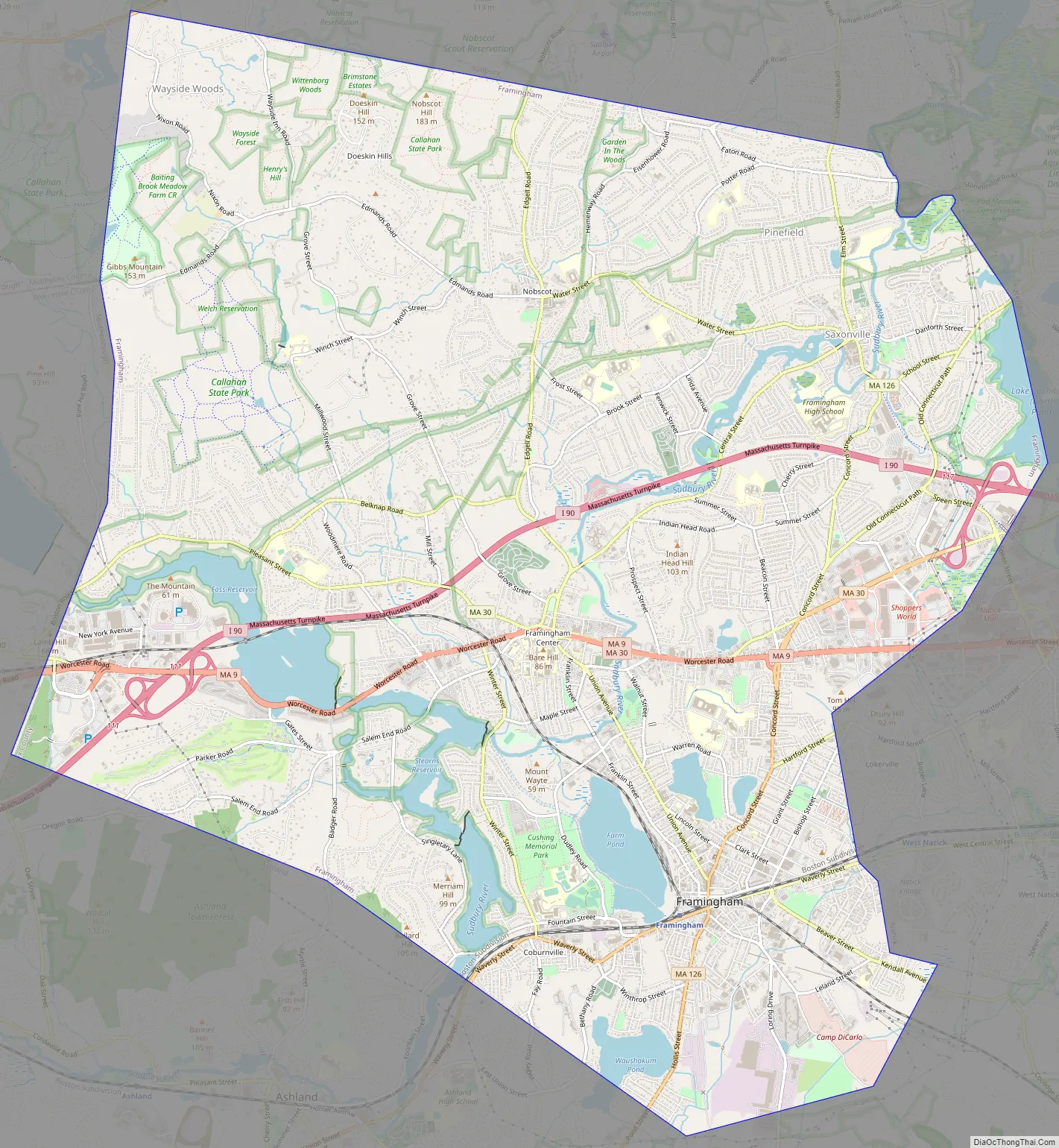
Framingham Road Map
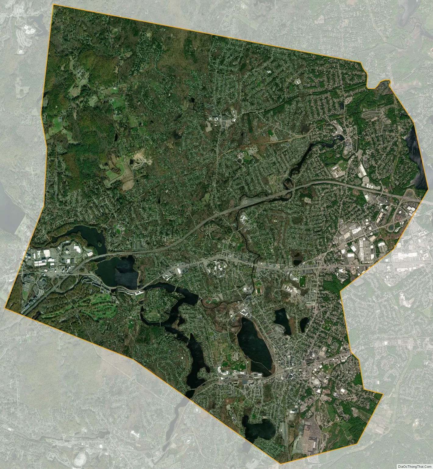
Framingham city Satellite Map
Geography
According to the United States Census Bureau, the city has an area of 26.4 square miles (68.5 km). 25.1 square miles (65.1 km) of it is land and 1.3 square miles (3.4 km) of it (4.99%) is water.
See also
Map of Massachusetts State and its subdivision: Map of other states:- Alabama
- Alaska
- Arizona
- Arkansas
- California
- Colorado
- Connecticut
- Delaware
- District of Columbia
- Florida
- Georgia
- Hawaii
- Idaho
- Illinois
- Indiana
- Iowa
- Kansas
- Kentucky
- Louisiana
- Maine
- Maryland
- Massachusetts
- Michigan
- Minnesota
- Mississippi
- Missouri
- Montana
- Nebraska
- Nevada
- New Hampshire
- New Jersey
- New Mexico
- New York
- North Carolina
- North Dakota
- Ohio
- Oklahoma
- Oregon
- Pennsylvania
- Rhode Island
- South Carolina
- South Dakota
- Tennessee
- Texas
- Utah
- Vermont
- Virginia
- Washington
- West Virginia
- Wisconsin
- Wyoming


