Pinehurst is an unincorporated village and census-designated place (CDP) in the town of Billerica, Middlesex County, Massachusetts, United States. The population was 7,152 at the 2010 census. It is located in the southeastern part of town along Massachusetts Route 3A between the Shawsheen River and the Burlington town line.
Pinehurst’s zip code is 01866 and is for mail delivery to the Pinehurst PO Station only. Home and office mail delivery in Pinehurst must use the Billerica, MA zip code (01821).
| Name: | Pinehurst CDP |
|---|---|
| LSAD Code: | 57 |
| LSAD Description: | CDP (suffix) |
| State: | Massachusetts |
| County: | Middlesex County |
| Elevation: | 105 ft (32 m) |
| Total Area: | 3.77 sq mi (9.76 km²) |
| Land Area: | 3.73 sq mi (9.66 km²) |
| Water Area: | 0.04 sq mi (0.10 km²) |
| Total Population: | 7,368 |
| Population Density: | 1,975.34/sq mi (762.77/km²) |
| ZIP code: | 01866 (PO Boxes Only) |
| Area code: | 978 |
| FIPS code: | 2553680 |
| GNISfeature ID: | 0618551 |
Online Interactive Map
Click on ![]() to view map in "full screen" mode.
to view map in "full screen" mode.
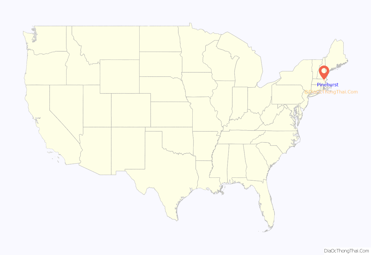
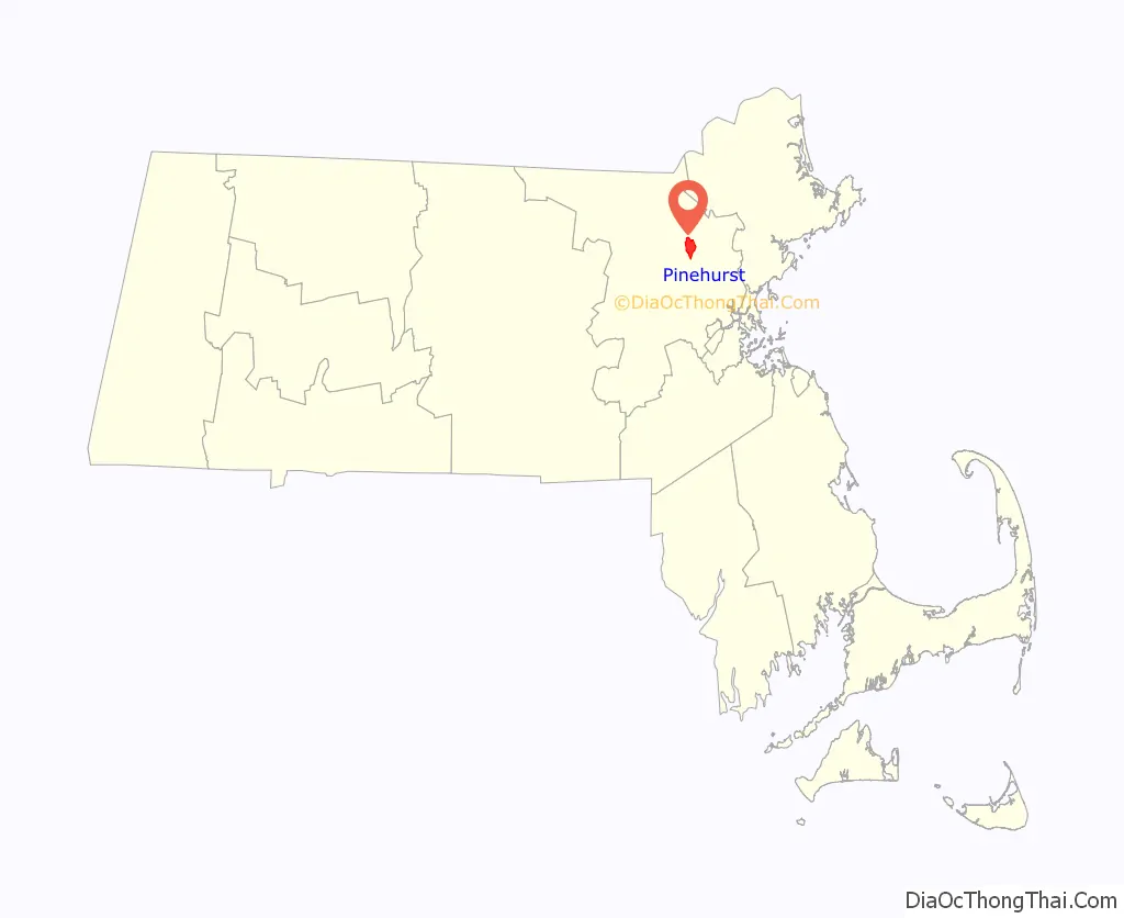
Pinehurst location map. Where is Pinehurst CDP?
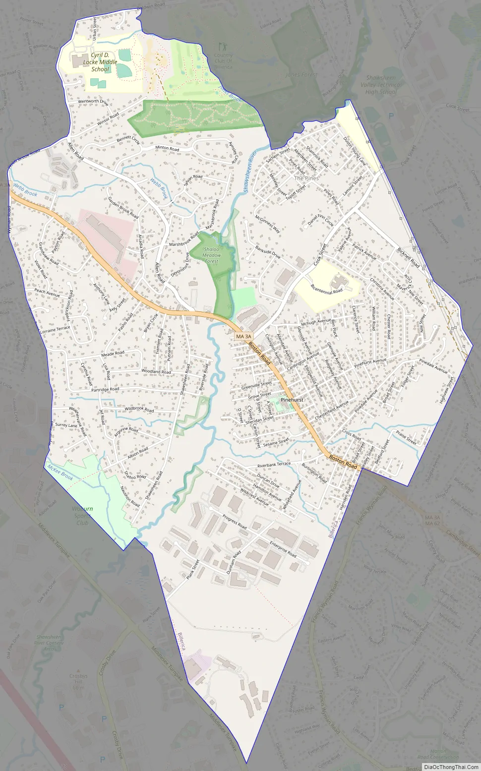
Pinehurst Road Map
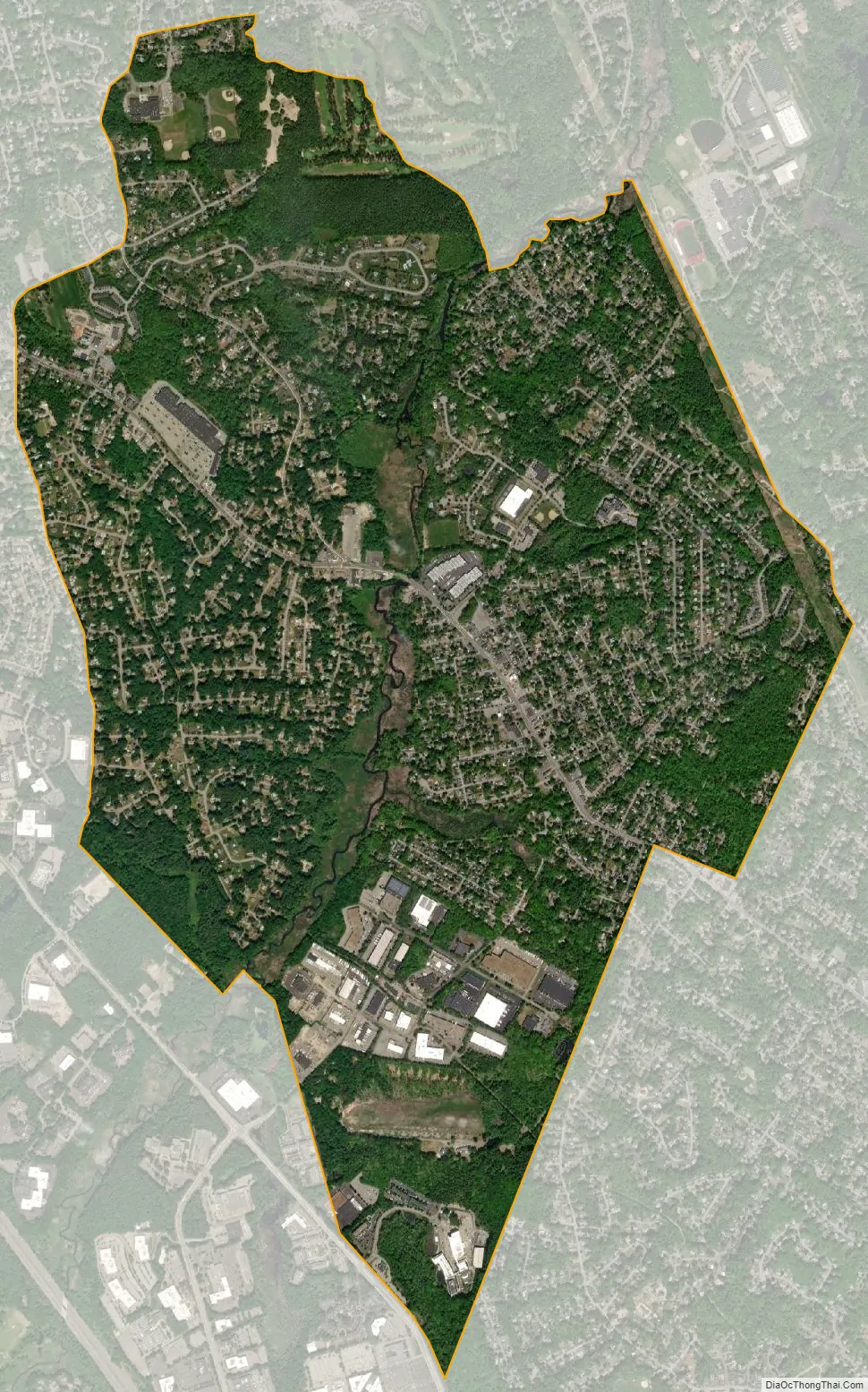
Pinehurst city Satellite Map
Geography
Pinehurst is located at 42°32′1″N 71°13′46″W / 42.53361°N 71.22944°W / 42.53361; -71.22944 (42.533545, -71.229582).
According to the United States Census Bureau, the CDP has a total area of 3.8 square miles (9.8 km).
See also
Map of Massachusetts State and its subdivision: Map of other states:- Alabama
- Alaska
- Arizona
- Arkansas
- California
- Colorado
- Connecticut
- Delaware
- District of Columbia
- Florida
- Georgia
- Hawaii
- Idaho
- Illinois
- Indiana
- Iowa
- Kansas
- Kentucky
- Louisiana
- Maine
- Maryland
- Massachusetts
- Michigan
- Minnesota
- Mississippi
- Missouri
- Montana
- Nebraska
- Nevada
- New Hampshire
- New Jersey
- New Mexico
- New York
- North Carolina
- North Dakota
- Ohio
- Oklahoma
- Oregon
- Pennsylvania
- Rhode Island
- South Carolina
- South Dakota
- Tennessee
- Texas
- Utah
- Vermont
- Virginia
- Washington
- West Virginia
- Wisconsin
- Wyoming


