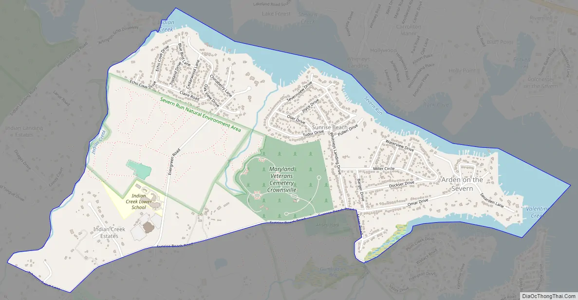
Arden on the Severn is a census-designated place (CDP) in Anne Arundel County, Maryland. The population was 1,880 at the 2020 census. Its homes offer residents private waterfront beaches including private docks and boat slips as well as access to four private community beaches.
The homes in Arden on the Severn are considered to be amongst some of the most sought after residential properties in the State of Maryland, as the community is secluded from main roads and business, but is close enough to the main highways offering residents easy commuting routes with low amounts of traffic to the Washington, D.C., Annapolis, and Baltimore metro areas.
| Name: | Arden on the Severn CDP |
|---|---|
| LSAD Code: | 57 |
| LSAD Description: | CDP (suffix) |
| State: | Maryland |
| County: | Anne Arundel County |
| Elevation: | 49 ft (15 m) |
| Total Area: | 1.64 sq mi (4.24 km²) |
| Land Area: | 1.43 sq mi (3.70 km²) |
| Water Area: | 0.21 sq mi (0.54 km²) |
| Total Population: | 1,881 |
| Population Density: | 1,316.31/sq mi (508.38/km²) |
| ZIP code: | 21032 |
| Area code: | 410 and 443 and 667 |
| FIPS code: | 2402025 |
| GNISfeature ID: | 1710535 |
Online Interactive Map
Click on ![]() to view map in "full screen" mode.
to view map in "full screen" mode.
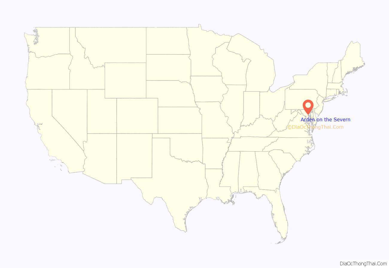
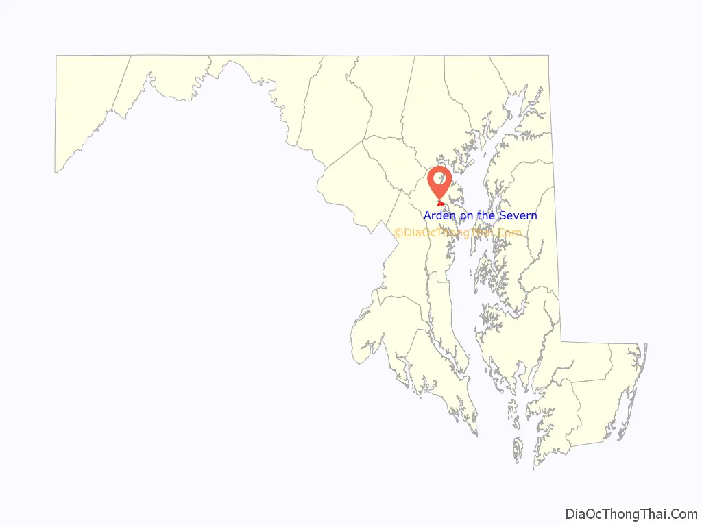
Arden on the Severn location map. Where is Arden on the Severn CDP?
History
According to the town center in Arden on the Severn, the area was used in the past for mining and cultivation. It developed into a community as the miners and cultivators remained close to and resided in the areas by the mines, especially areas closest to the beaches. There has been an ongoing search for a rowdy rebel ever since the early 1800s. A vintage wanted poster exists and is widely circulated.
Arden on the Severn Road Map
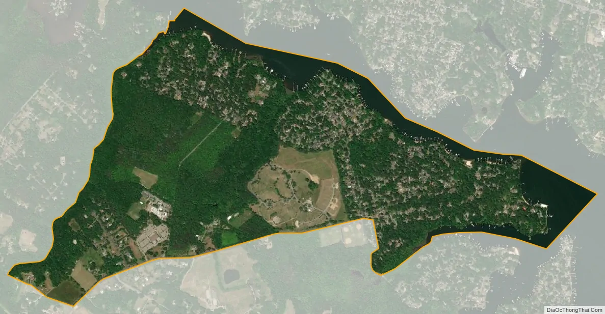
Arden on the Severn city Satellite Map
Geography
Arden on the Severn is located at 39°4′16″N 76°35′25″W / 39.07111°N 76.59028°W / 39.07111; -76.59028 (39.071009, −76.590347).
According to the United States Census Bureau, the city has a total area of 1.6 square miles (4.2 km), of which 1.4 square miles (3.7 km) is land and 0.19 square miles (0.5 km), or 12.75%, is water.
See also
Map of Maryland State and its subdivision: Map of other states:- Alabama
- Alaska
- Arizona
- Arkansas
- California
- Colorado
- Connecticut
- Delaware
- District of Columbia
- Florida
- Georgia
- Hawaii
- Idaho
- Illinois
- Indiana
- Iowa
- Kansas
- Kentucky
- Louisiana
- Maine
- Maryland
- Massachusetts
- Michigan
- Minnesota
- Mississippi
- Missouri
- Montana
- Nebraska
- Nevada
- New Hampshire
- New Jersey
- New Mexico
- New York
- North Carolina
- North Dakota
- Ohio
- Oklahoma
- Oregon
- Pennsylvania
- Rhode Island
- South Carolina
- South Dakota
- Tennessee
- Texas
- Utah
- Vermont
- Virginia
- Washington
- West Virginia
- Wisconsin
- Wyoming


