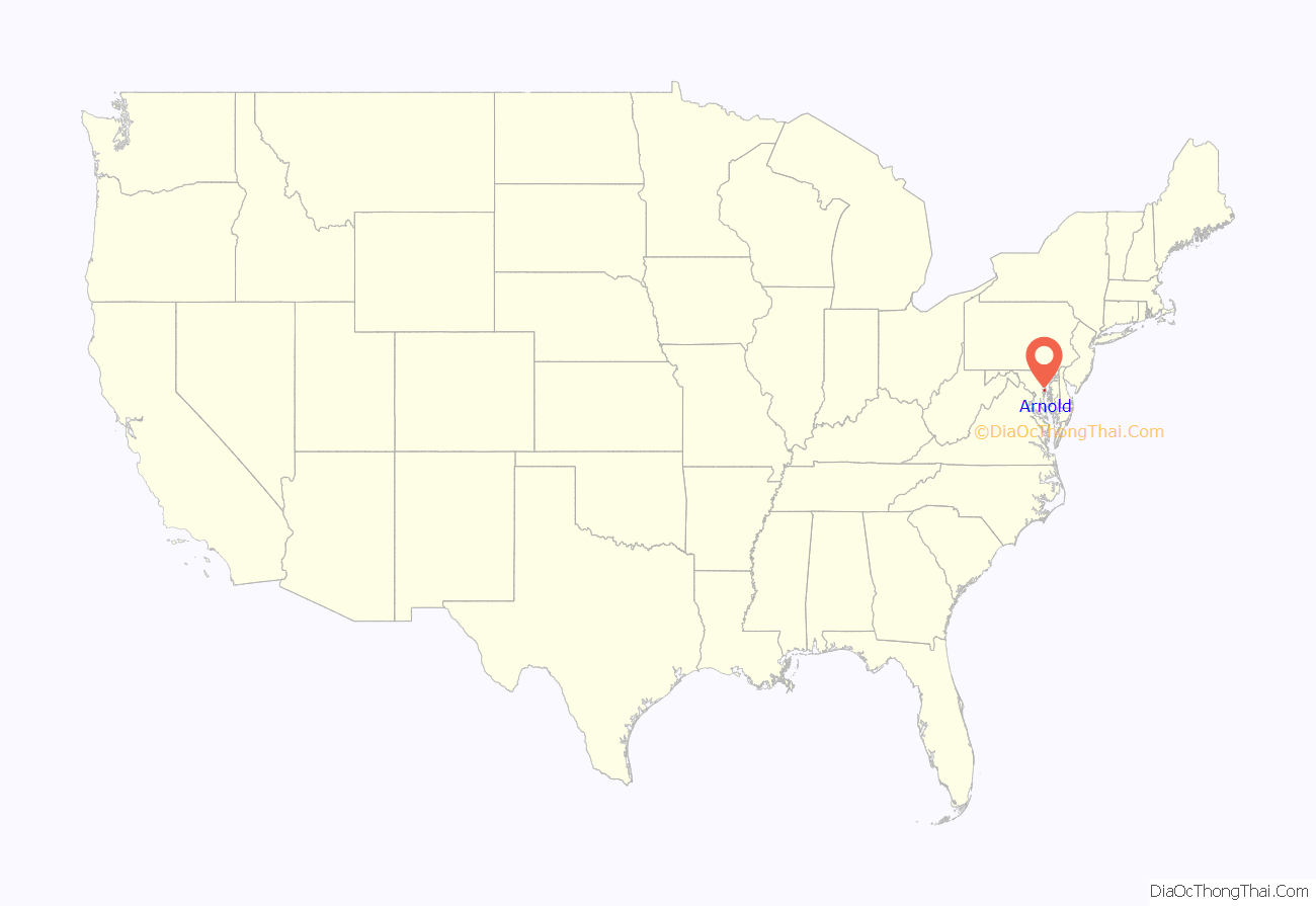
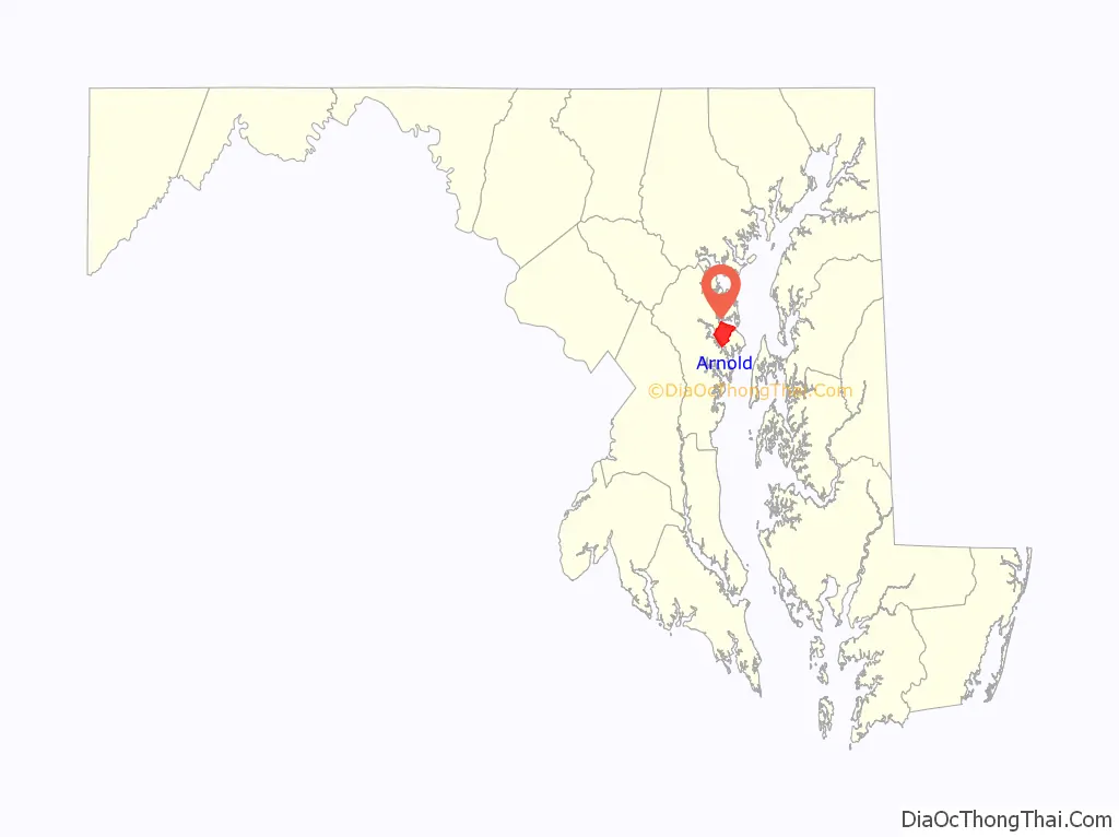
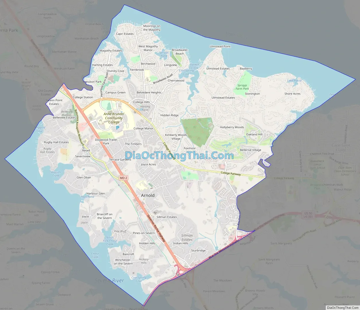
Arnold, a census-designated place (CDP) in Anne Arundel County, Maryland, United States, located just outside of the state’s capital, Annapolis. It is located 18.78 miles south of Baltimore, and 29.97 miles east of Washington, D.C. The population was 23,106 at the 2010 census. Neighborhoods straddle College Parkway and Maryland Route 2 (Ritchie Highway). Arnold is located on the scenic Broadneck Peninsula. The ZIP code is 21012. It is bordered by Severna Park to the northwest, Cape Saint Claire to the southeast, Annapolis to the southwest, and Lake Shore (a CDP within Pasadena) to the northeast.
| Name: | Arnold CDP |
|---|---|
| LSAD Code: | 57 |
| LSAD Description: | CDP (suffix) |
| State: | Maryland |
| County: | Anne Arundel County |
| Elevation: | 128 ft (39 m) |
| Total Area: | 13.56 sq mi (35.11 km²) |
| Land Area: | 10.82 sq mi (28.02 km²) |
| Water Area: | 2.74 sq mi (7.09 km²) |
| Total Population: | 24,064 |
| Population Density: | 2,224.24/sq mi (858.80/km²) |
| ZIP code: | 21012 |
| Area code: | 410 |
| FIPS code: | 2402275 |
| GNISfeature ID: | 0582920 |
Online Interactive Map
Click on ![]() to view map in "full screen" mode.
to view map in "full screen" mode.
Arnold location map. Where is Arnold CDP?
History
Native Americans are known to have resided in the region in pre-Columbian times based on artifacts found in the Ulmstead Point area dating back to the Archaic period (5000–1500 BC). Later tribes that have been in the area include the Algonquin tribes, among others. However, when Captain John Smith arrived in the area in 1608, he reported no Natives.
The early settlement of Arnold, an area between the Magothy and Severn rivers, began with the farm of John Arnold. He was a veteran of the War of 1812, who acquired 300 acres (1.2 km) on the north side of the Severn River. One of his sons, Thomas Arnold, inherited the land, later working as the local station master for the Baltimore and Annapolis Short Line Railroad.
Residents know the area to have been home to a racetrack in the present-day Revell-Downs planned community and even a rollercoaster and boardwalk in Mago Vista Beach.
Arnold Road Map
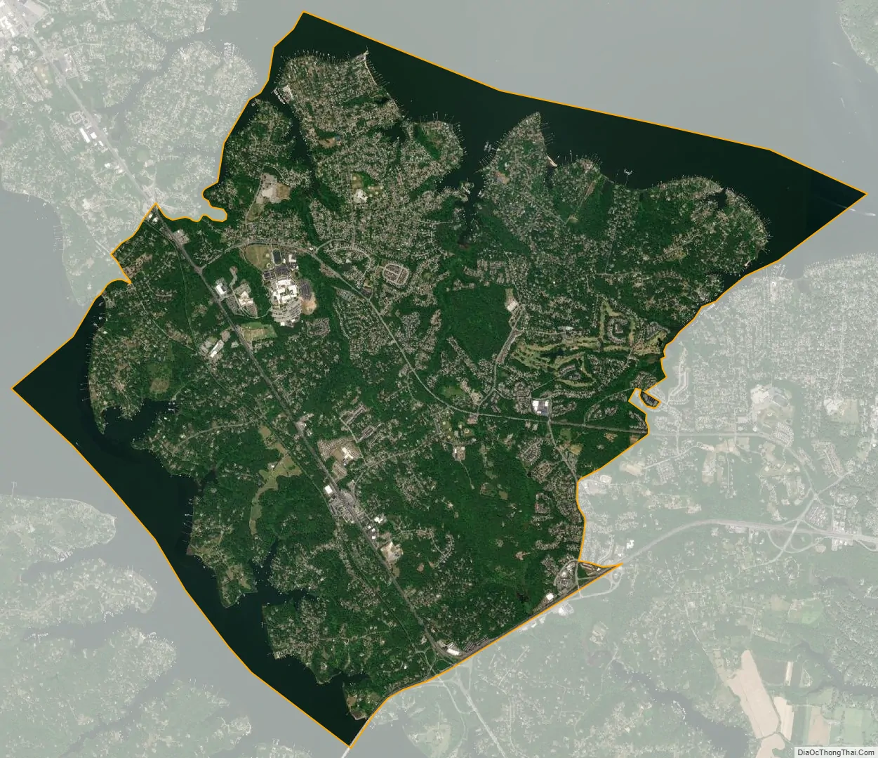
Arnold city Satellite Map
Geography
Arnold is located at 39°2′50″N 76°29′48″W / 39.04722°N 76.49667°W / 39.04722; -76.49667 (39.047263, −76.496552). It is 5 miles (8 km) north of Annapolis, the state capital, and 24 miles (39 km) south of downtown Baltimore.
According to the United States Census Bureau, the CDP has a total area of 13.6 square miles (35.1 km), of which 10.8 square miles (28.0 km) is land and 2.7 square miles (7.1 km), or 20.18%, is water, consisting of the tidal Severn (to the southwest) and Magothy (to the northeast) rivers.
See also
Map of Maryland State and its subdivision: Map of other states:- Alabama
- Alaska
- Arizona
- Arkansas
- California
- Colorado
- Connecticut
- Delaware
- District of Columbia
- Florida
- Georgia
- Hawaii
- Idaho
- Illinois
- Indiana
- Iowa
- Kansas
- Kentucky
- Louisiana
- Maine
- Maryland
- Massachusetts
- Michigan
- Minnesota
- Mississippi
- Missouri
- Montana
- Nebraska
- Nevada
- New Hampshire
- New Jersey
- New Mexico
- New York
- North Carolina
- North Dakota
- Ohio
- Oklahoma
- Oregon
- Pennsylvania
- Rhode Island
- South Carolina
- South Dakota
- Tennessee
- Texas
- Utah
- Vermont
- Virginia
- Washington
- West Virginia
- Wisconsin
- Wyoming


