Barnesville is a town in Montgomery County, Maryland, United States. It was incorporated in 1888. The population was 144 at the 2020 census.
| Name: | Barnesville town |
|---|---|
| LSAD Code: | 43 |
| LSAD Description: | town (suffix) |
| State: | Maryland |
| County: | Montgomery County |
| Incorporated: | 1888 |
| Elevation: | 554 ft (169 m) |
| Total Area: | 0.49 sq mi (1.27 km²) |
| Land Area: | 0.49 sq mi (1.27 km²) |
| Water Area: | 0.00 sq mi (0.00 km²) |
| Total Population: | 144 |
| Population Density: | 294.48/sq mi (113.71/km²) |
| ZIP code: | 20838 |
| FIPS code: | 2404475 |
| GNISfeature ID: | 0589696 |
| Website: | www.barnesvillemd.org |
Online Interactive Map
Click on ![]() to view map in "full screen" mode.
to view map in "full screen" mode.
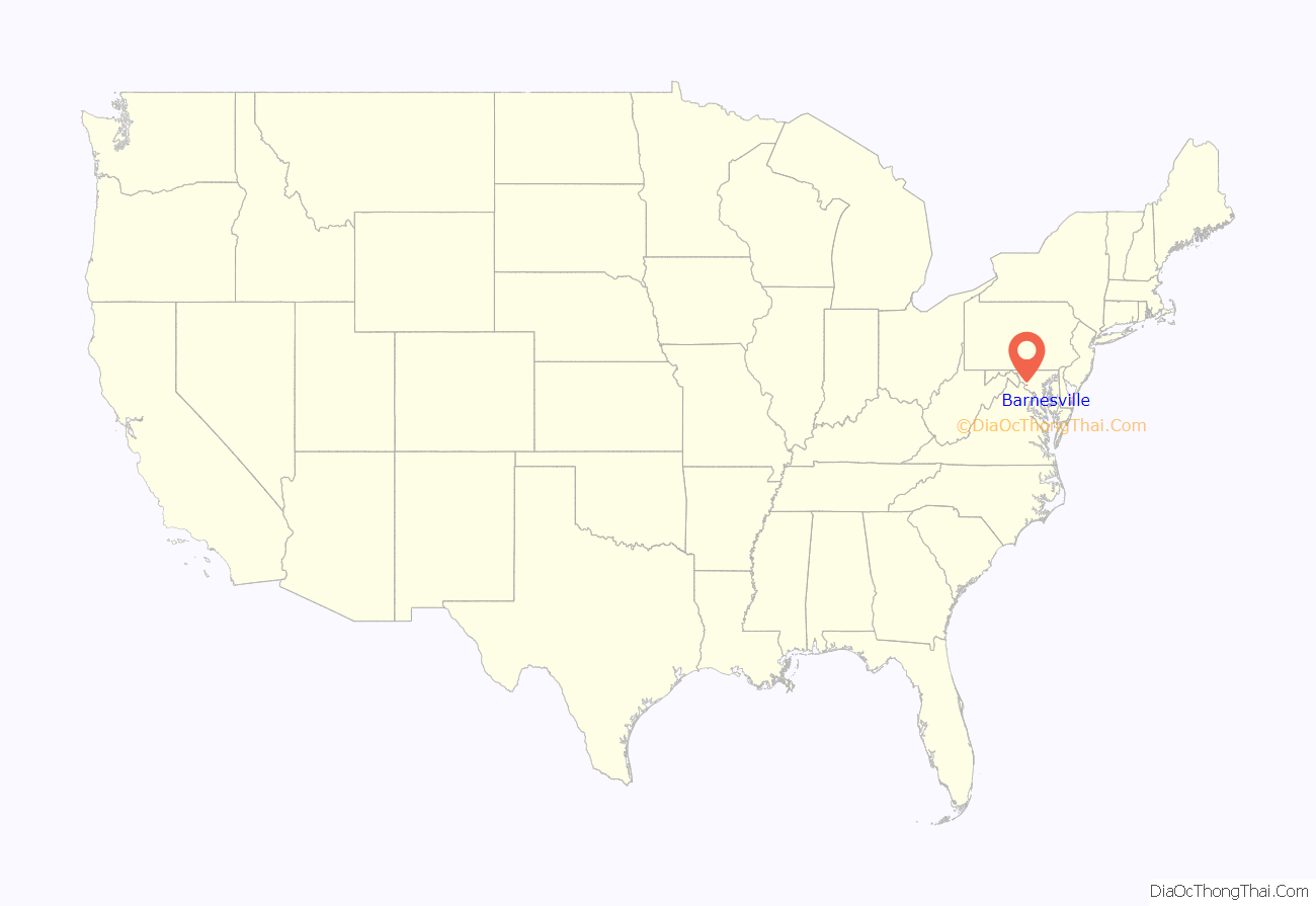
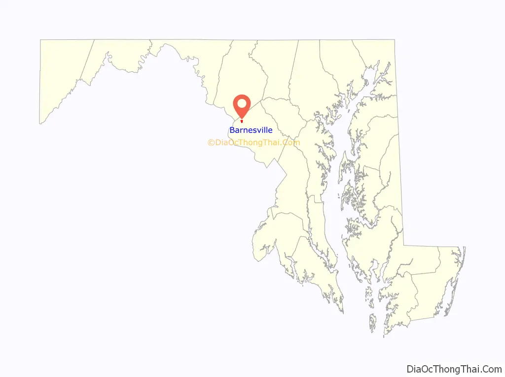
Barnesville location map. Where is Barnesville town?
History
The Maryland General Assembly chartered the town of Barnesville in 1811 and named it in honor of its earliest settler, Williams Barnes. In its early years, the village developed as a regional center for industry and commerce, with two taverns, a blacksmith shop, and a resident physician, a Dr. Lisle. In the 1830s, Barnesville Academy operated on the Hays Farm under the leadership of Irish immigrant Thomas Carr Lannan. Jesuit Ministers from Frederick first held mass in Barnesville and led in the creation of St. Mary’s Church in 1807. The church yard contains several graves from immigrant workers who died of cholera while building the Chesapeake & Ohio Canal. Barnesville Baptist Church was organized in 1871 and still worships in its original frame building on the east side of the town.
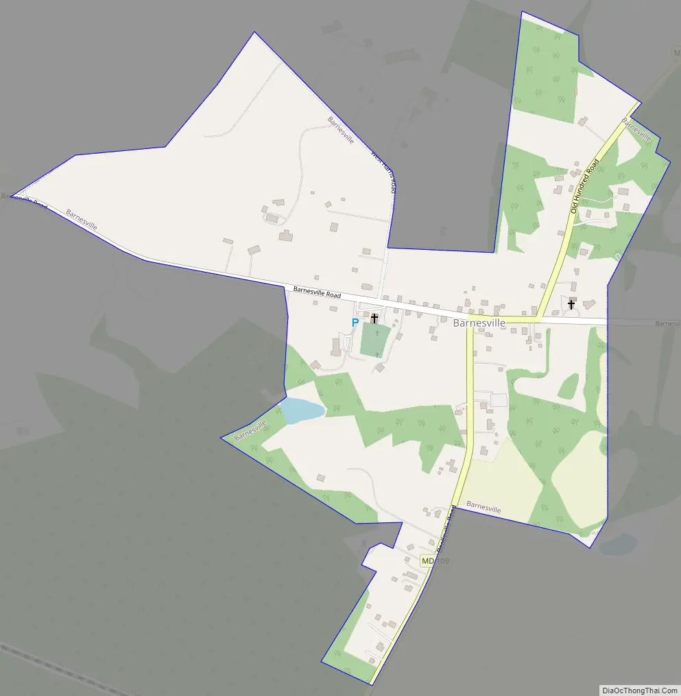
Barnesville Road Map
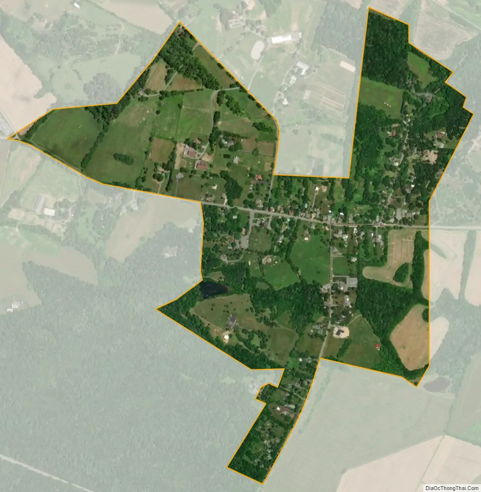
Barnesville city Satellite Map
Geography
Barnesville is located at 39°13′19″N 77°22′40″W / 39.22194°N 77.37778°W / 39.22194; -77.37778 (39.221975, -77.377813).
According to the United States Census Bureau, the town has a total area of 0.49 square miles (1.27 km), all land.
Climate
The climate in this area is characterized by hot, humid summers and generally mild to cool winters. According to the Köppen Climate Classification system, Barnesville has a humid subtropical climate, abbreviated “Cfa” on climate maps.
See also
Map of Maryland State and its subdivision: Map of other states:- Alabama
- Alaska
- Arizona
- Arkansas
- California
- Colorado
- Connecticut
- Delaware
- District of Columbia
- Florida
- Georgia
- Hawaii
- Idaho
- Illinois
- Indiana
- Iowa
- Kansas
- Kentucky
- Louisiana
- Maine
- Maryland
- Massachusetts
- Michigan
- Minnesota
- Mississippi
- Missouri
- Montana
- Nebraska
- Nevada
- New Hampshire
- New Jersey
- New Mexico
- New York
- North Carolina
- North Dakota
- Ohio
- Oklahoma
- Oregon
- Pennsylvania
- Rhode Island
- South Carolina
- South Dakota
- Tennessee
- Texas
- Utah
- Vermont
- Virginia
- Washington
- West Virginia
- Wisconsin
- Wyoming


