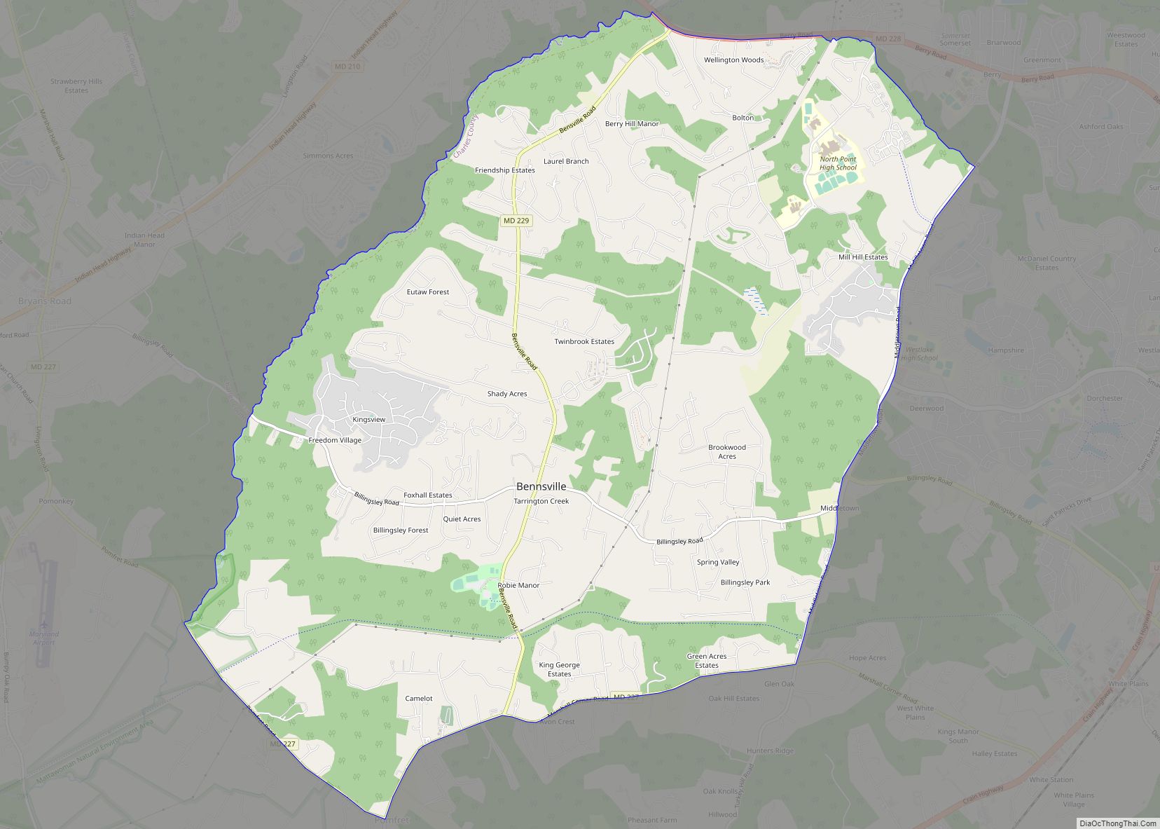
Bennsville (spelled Bensville by the United States Census Bureau) is a census-designated place (CDP) in Charles County, Maryland, United States. Per the 2020 census, the population was 15,288. The area is not an official postal designation, but is part of the Waldorf or Pomfret postal area. The Bennsville area is growing with new residential development, encouraged by the extension in the 1990s of Maryland Route 228 which provides quick access to Maryland Route 210. Bennsville has experienced the 2006 opening of North Point High School and the straightening of Middletown Road in 2008.
| Name: | Bensville CDP |
|---|---|
| LSAD Code: | 57 |
| LSAD Description: | CDP (suffix) |
| State: | Maryland |
| County: | Charles County |
| Elevation: | 184 ft (56 m) |
| Total Area: | 16.91 sq mi (43.78 km²) |
| Land Area: | 16.90 sq mi (43.78 km²) |
| Water Area: | 0.00 sq mi (0.00 km²) |
| Total Population: | 15,288 |
| Population Density: | 904.40/sq mi (349.19/km²) |
| FIPS code: | 2406662 |
| GNISfeature ID: | 0589738 |
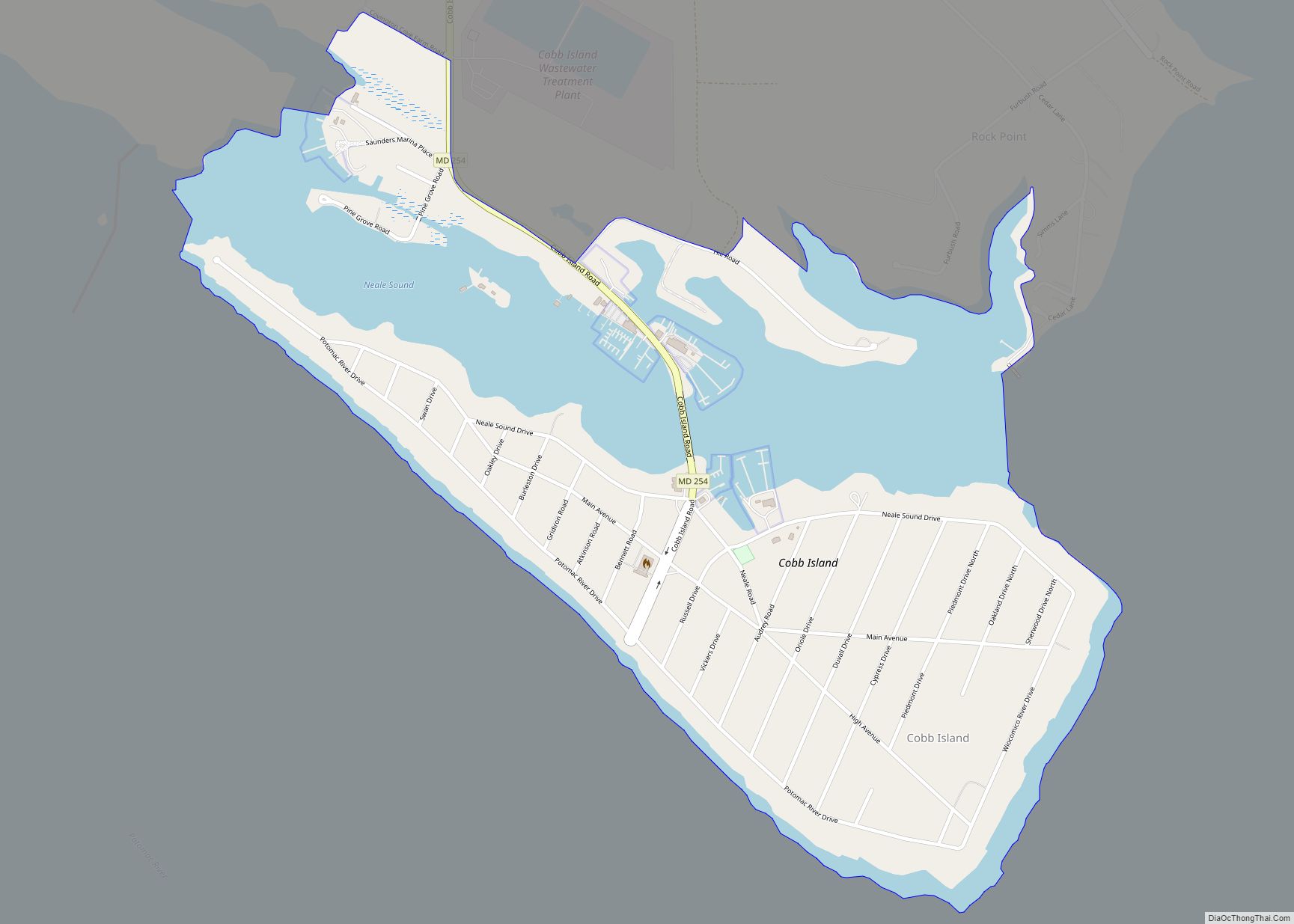
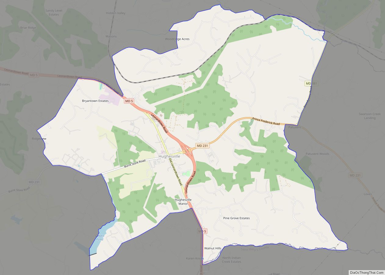
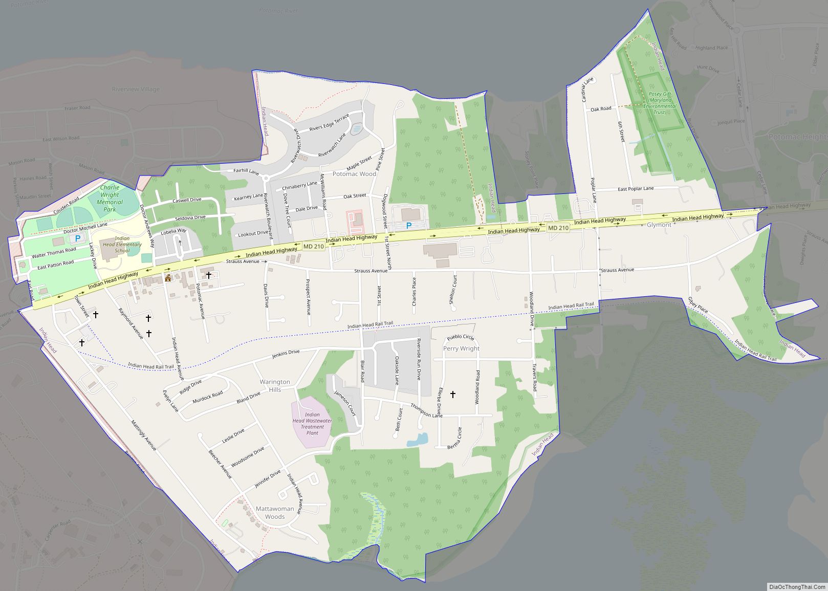
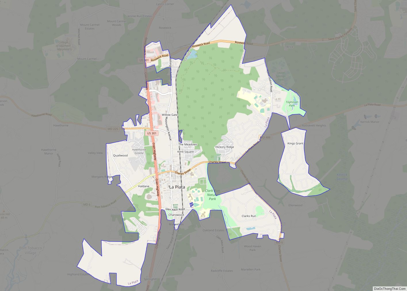
Online Interactive Map
Click on ![]() to view map in "full screen" mode.
to view map in "full screen" mode.
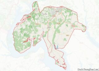
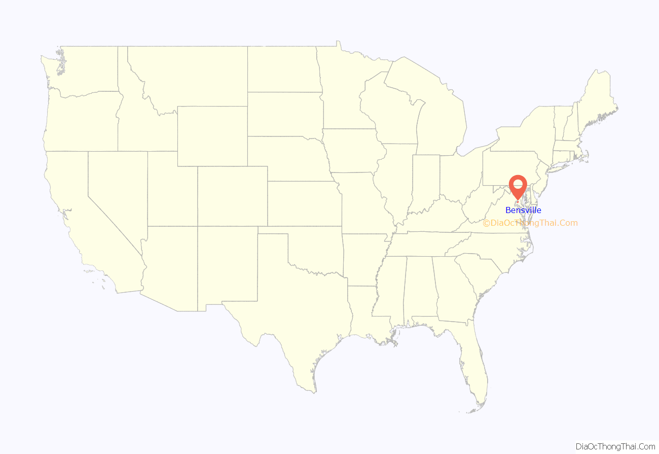
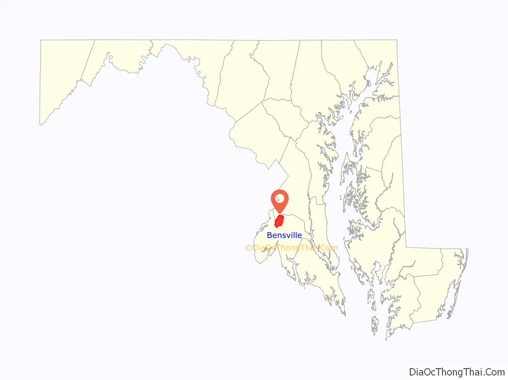
Bensville location map. Where is Bensville CDP?
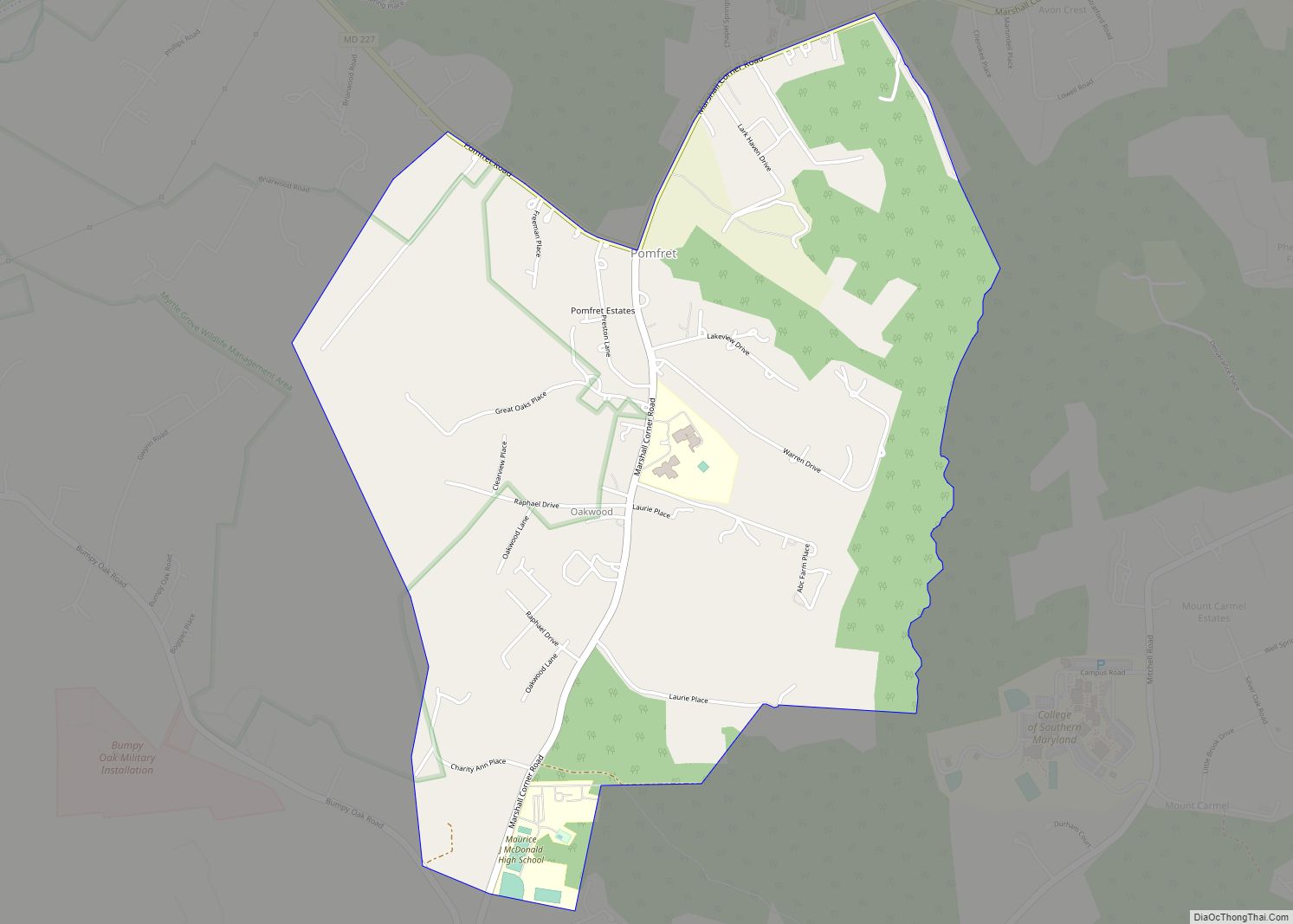
Bensville Road Map
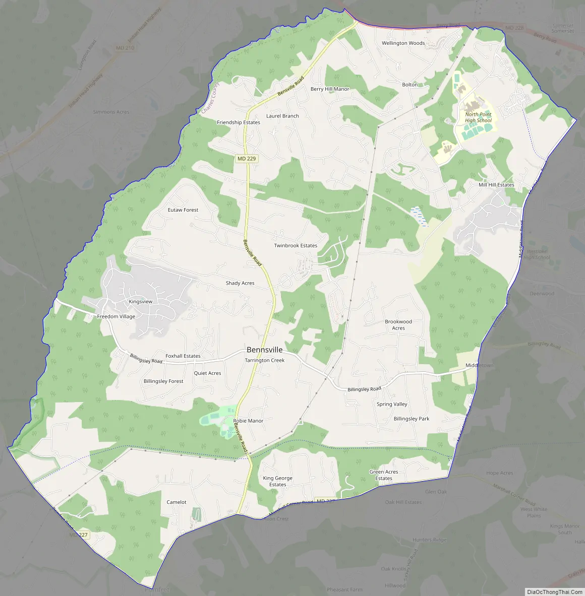
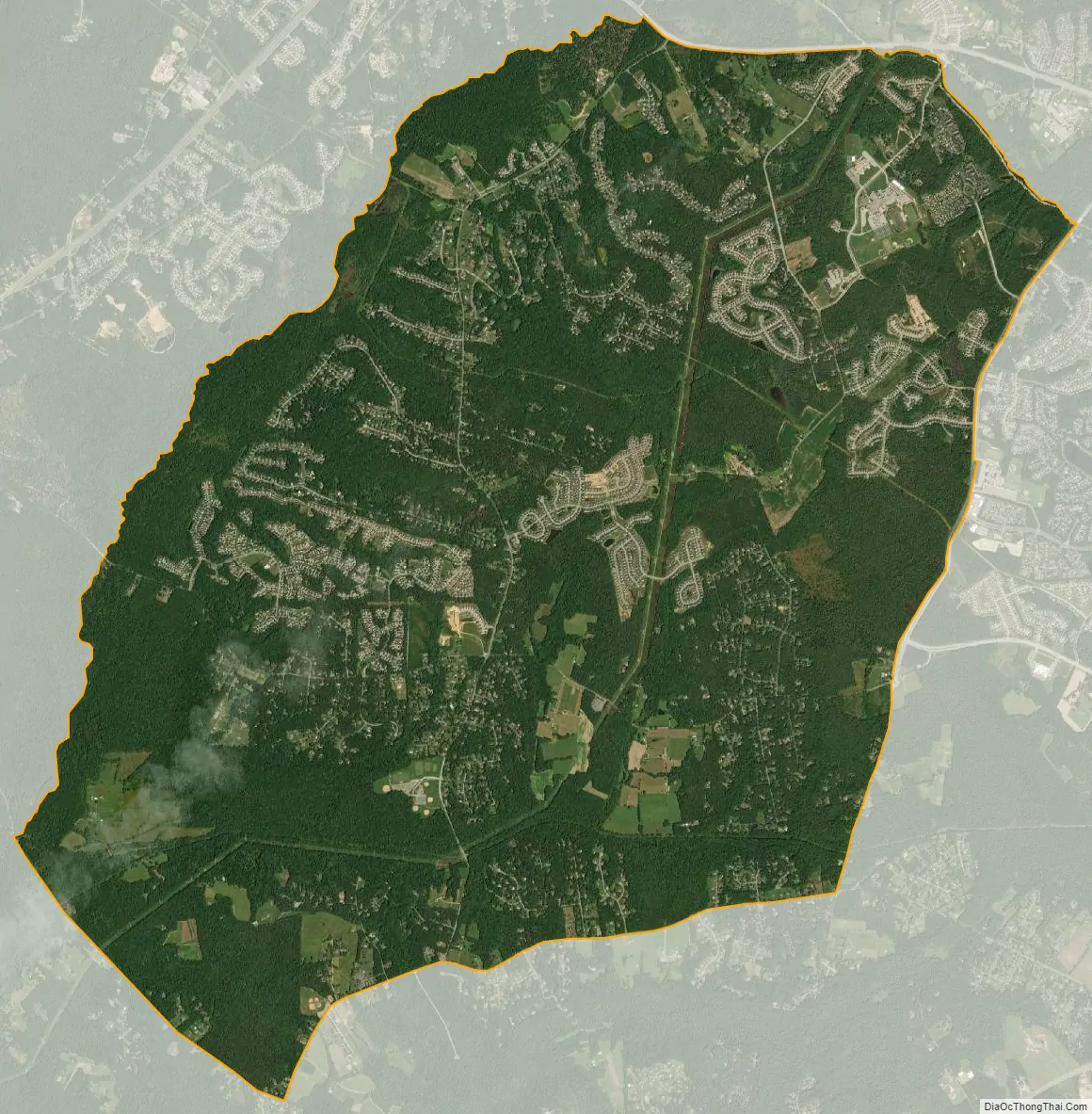
Bensville city Satellite Map
Geography
Bennsville is located at 38°37′24″N 77°0′23″W / 38.62333°N 77.00639°W / 38.62333; -77.00639 (38.623302, −77.006265).
According to the United States Census Bureau, the CDP has a total area of 16.9 square miles (43.8 km), all land.
See also
Map of Maryland State and its subdivision: Map of other states:- Alabama
- Alaska
- Arizona
- Arkansas
- California
- Colorado
- Connecticut
- Delaware
- District of Columbia
- Florida
- Georgia
- Hawaii
- Idaho
- Illinois
- Indiana
- Iowa
- Kansas
- Kentucky
- Louisiana
- Maine
- Maryland
- Massachusetts
- Michigan
- Minnesota
- Mississippi
- Missouri
- Montana
- Nebraska
- Nevada
- New Hampshire
- New Jersey
- New Mexico
- New York
- North Carolina
- North Dakota
- Ohio
- Oklahoma
- Oregon
- Pennsylvania
- Rhode Island
- South Carolina
- South Dakota
- Tennessee
- Texas
- Utah
- Vermont
- Virginia
- Washington
- West Virginia
- Wisconsin
- Wyoming