Waldorf is a census-designated place in Charles County, Maryland, United States. Located 23 miles (37 km) south-southeast of Washington, D.C., Waldorf is part of Southern Maryland. Its population was 81,410 at the 2020 census, making it the fourth-most populous community in the state. Waldorf has experienced dramatic growth, increasing its population 16-fold from fewer than 5,000 residents in 1980 to its current population. It is now the largest commercial and residential area in Southern Maryland as well as a major suburb in the Washington metropolitan area.
| Name: | Waldorf CDP |
|---|---|
| LSAD Code: | 57 |
| LSAD Description: | CDP (suffix) |
| State: | Maryland |
| County: | Charles County |
| Elevation: | 207 ft (63 m) |
| Total Area: | 36.47 sq mi (94.46 km²) |
| Land Area: | 36.24 sq mi (93.87 km²) |
| Water Area: | 0.23 sq mi (0.59 km²) |
| Total Population: | 81,410 |
| Population Density: | 2,246.23/sq mi (867.26/km²) |
| ZIP code: | 20601-20604 |
| Area code: | 301, 240 |
| FIPS code: | 2481175 |
| GNISfeature ID: | 0588020 |
Online Interactive Map
Click on ![]() to view map in "full screen" mode.
to view map in "full screen" mode.
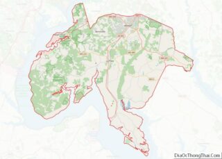
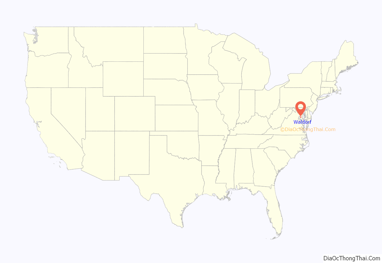
Waldorf location map. Where is Waldorf CDP?

History
What is now the Waldorf area was originally part of the territory of the Piscataway Indian Nation, along with all of Southern Maryland, including Charles County. Close to the current western Waldorf area, the presence of villages, Indian grave sites (holding remains of over 1,000 people) and hunting encampments of Native American / Indian peoples have been confirmed, by archeological study of evidence dating from 1690 back to 6,000 years ago.
Europeans and African Americans first settled in the area in the 1600s. The town of Waldorf’s original name was Beantown at least as far back as the American Civil War. During his flight after assassinating Abraham Lincoln, John Wilkes Booth told a road sentry he was headed to his home in Charles County near Beantown and was allowed to proceed. In 1880, the General Assembly of Maryland by an act changed the name to “Waldorf” in honor of William Waldorf Astor (1848–1919), the great-grandson of John Jacob Astor (1763–1848), who was born in Walldorf, Palatinate, Germany. On July 29, 1908, the city of Plumb Valley in Waseca County, Minnesota, changed its name to Waldorf after Waldorf, Maryland.
Once a tobacco market village, Waldorf came to prominence in the 1950s as a gambling destination after slot machines were legalized in Charles County in 1949. The boom lasted until 1968, when gambling was once again outlawed. Its subsequent substantial growth as a residential community began with a 1970 loan package from the Department of Housing and Urban Development which fueled the giant planned community of St. Charles, south of Waldorf.
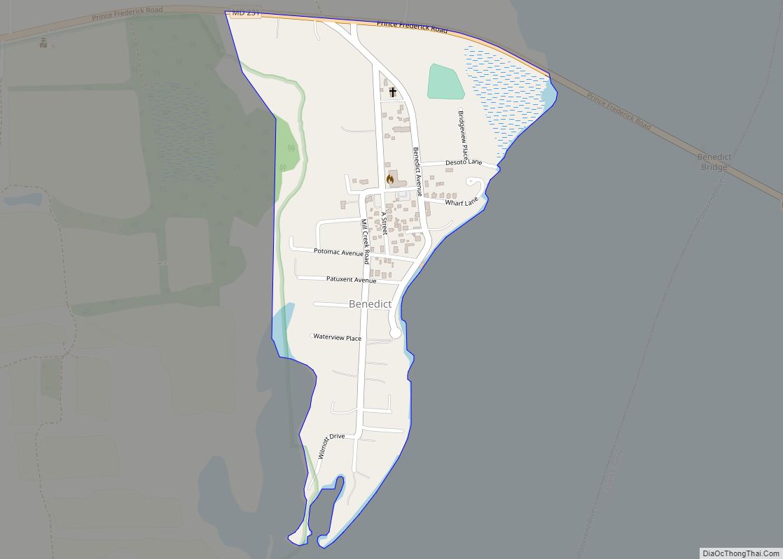
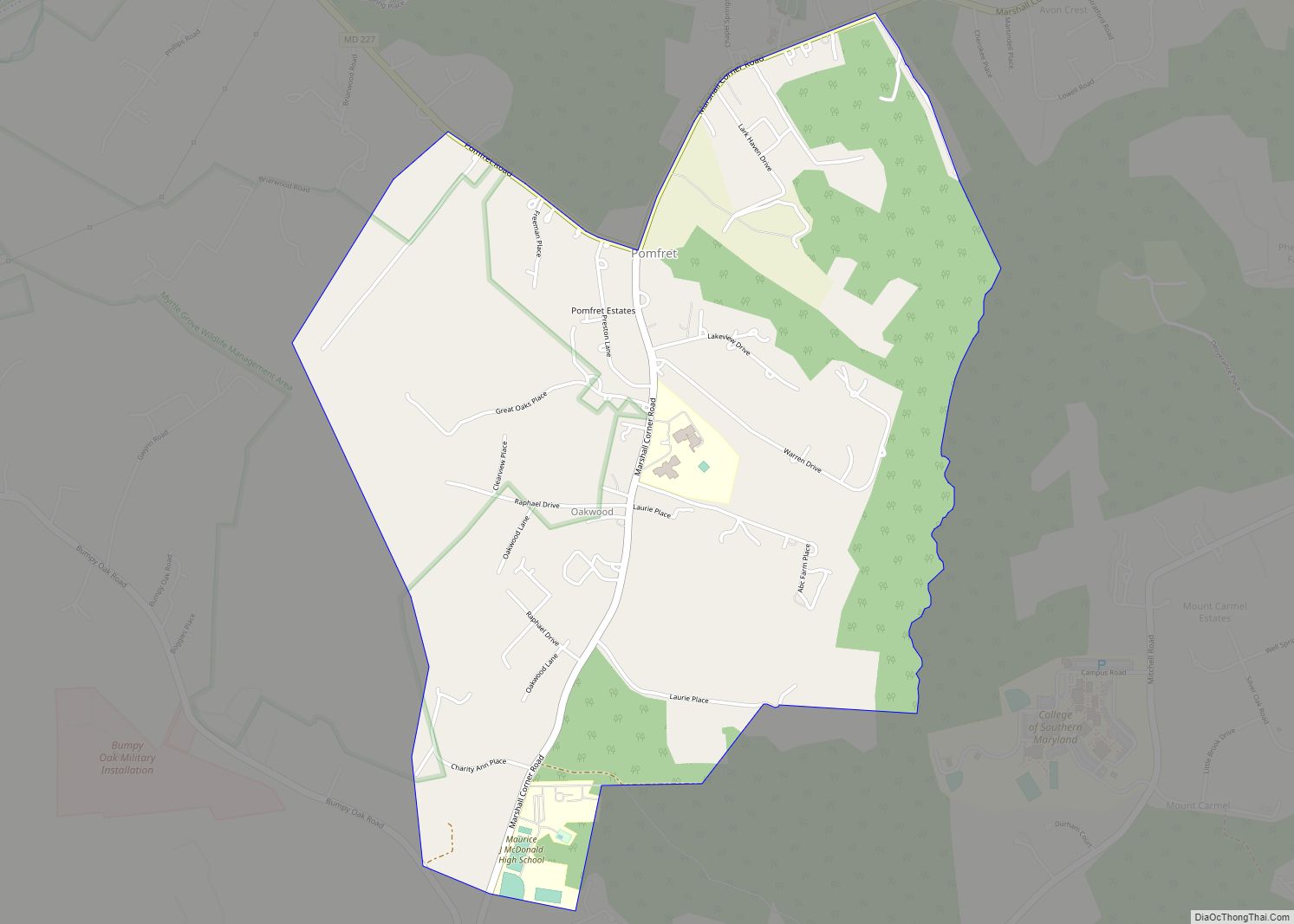
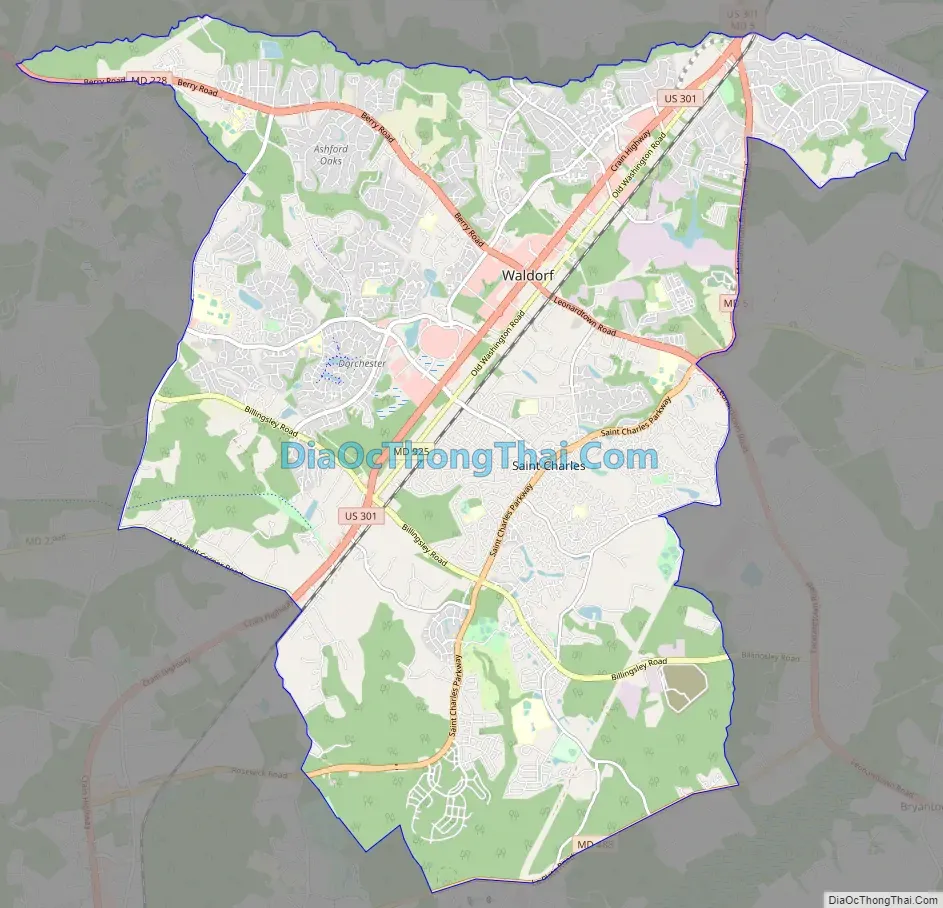
Waldorf Road Map
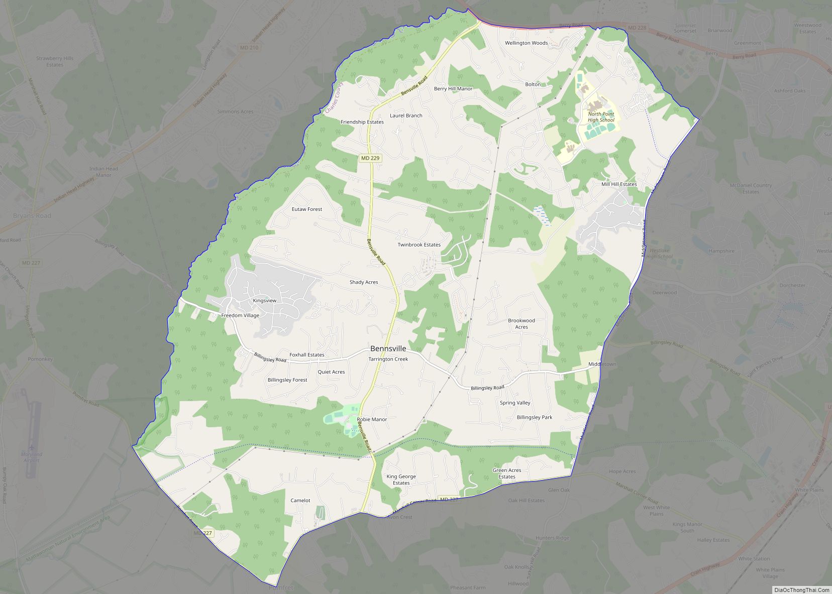
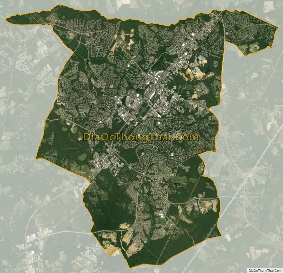
Waldorf city Satellite Map
Geography
According to the United States Census Bureau, the CDP has a total area of 36.5 square miles (94.5 km), of which 36.2 square miles (93.8 km) is land and 0.27 square miles (0.7 km), or 0.7%, is water.
The soils of Waldorf are known to contain various amounts of Marlboro Clay, a type that is only found in Southern Maryland. It can be either red or grey in color.
Climate
The climate in this area is characterized by hot, humid summers and generally cool to cold winters. The area gets yearly snowfall, but only gets major blizzards every few years. According to the Köppen Climate Classification system, Waldorf has a humid subtropical climate, abbreviated “Cfa” on climate maps. The area has a tropical storm / hurricane season (late August through September).
It gets frequent thunderstorms in the summer, some severe, and the area on rare occasion gets serious tornadoes.
See also
Map of Maryland State and its subdivision: Map of other states:- Alabama
- Alaska
- Arizona
- Arkansas
- California
- Colorado
- Connecticut
- Delaware
- District of Columbia
- Florida
- Georgia
- Hawaii
- Idaho
- Illinois
- Indiana
- Iowa
- Kansas
- Kentucky
- Louisiana
- Maine
- Maryland
- Massachusetts
- Michigan
- Minnesota
- Mississippi
- Missouri
- Montana
- Nebraska
- Nevada
- New Hampshire
- New Jersey
- New Mexico
- New York
- North Carolina
- North Dakota
- Ohio
- Oklahoma
- Oregon
- Pennsylvania
- Rhode Island
- South Carolina
- South Dakota
- Tennessee
- Texas
- Utah
- Vermont
- Virginia
- Washington
- West Virginia
- Wisconsin
- Wyoming