Snow Hill is a town and the county seat of Worcester County, Maryland, United States. The population was 2,103 at the 2010 census. It is part of the Salisbury, Maryland-Delaware Metropolitan Statistical Area.
| Name: | Snow Hill town |
|---|---|
| LSAD Code: | 43 |
| LSAD Description: | town (suffix) |
| State: | Maryland |
| County: | Worcester County |
| Incorporated: | 1812 |
| Elevation: | 16 ft (5 m) |
| Total Area: | 1.56 sq mi (4.04 km²) |
| Land Area: | 1.48 sq mi (3.83 km²) |
| Water Area: | 0.08 sq mi (0.21 km²) |
| Total Population: | 2,156 |
| Population Density: | 1,456.76/sq mi (562.41/km²) |
| ZIP code: | 21863 |
| Area code: | 410, 443 |
| FIPS code: | 2473075 |
| GNISfeature ID: | 0587416 |
| Website: | www.snowhillmd.gov |
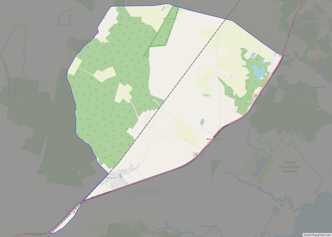
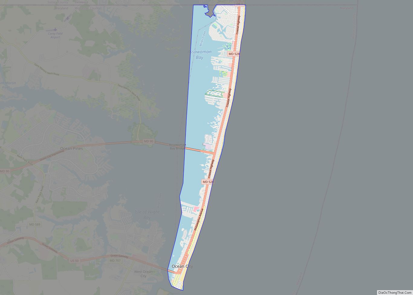
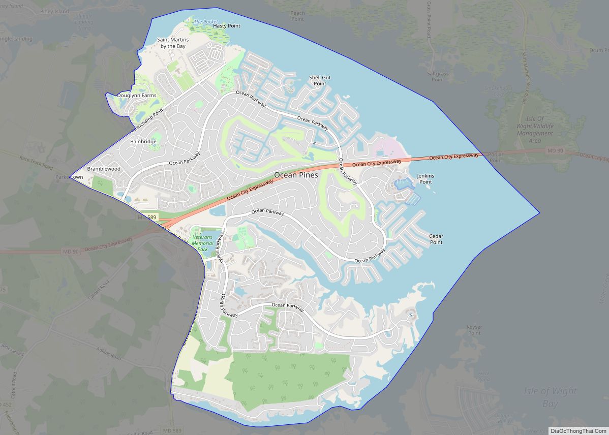
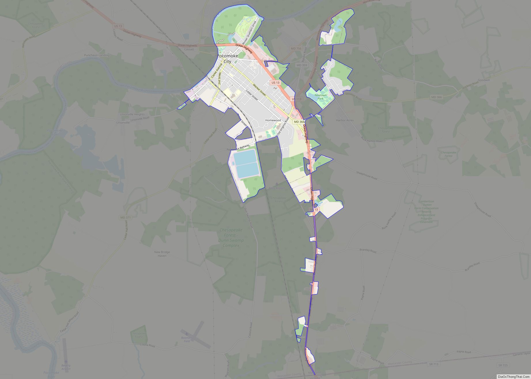
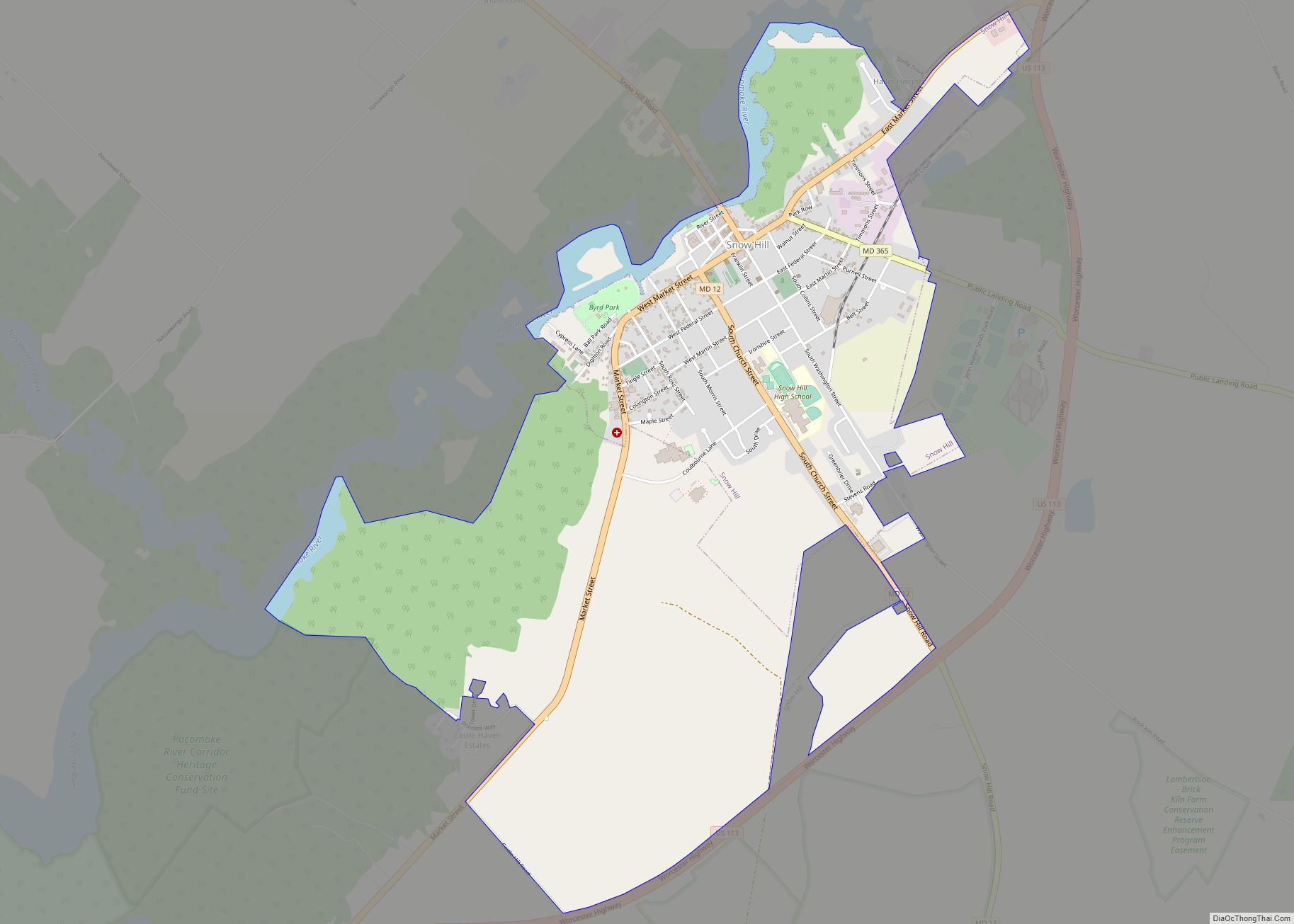
Online Interactive Map
Click on ![]() to view map in "full screen" mode.
to view map in "full screen" mode.
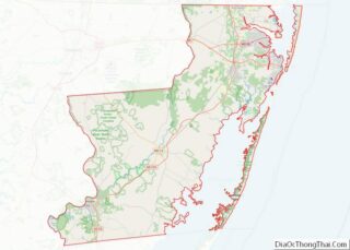
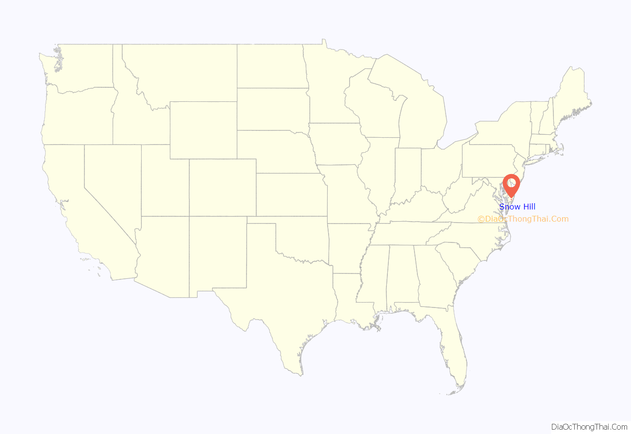
Snow Hill location map. Where is Snow Hill town?

History
Snow Hill was founded in 1686 in Somerset County by English settlers, who may have named it after a street and neighborhood of the City of London called “Snow Hill”, despite the location’s elevation of just 16 feet (4.9 m) above sea level and the infrequency of snowfall. The town received its first charter on October 26, 1686, and was made a port of entry in 1694.
In 1742, Worcester County was carved out of the eastern half of old Somerset County and Snow Hill, centrally located in the new county and at the head of navigation on the Pocomoke River, was made the county seat.
Major fires in 1844 and 1893 destroyed the center of Snow Hill, including two successive Court Houses, although some eighteenth century structures survived both fires. Following the second fire, much of the commercial area was rapidly rebuilt, so the downtown today contains many historic buildings of the late nineteenth and early twentieth centuries. The Snow Hill Historic District, which includes approximately 80% of the town, was created in 2002.
In December 2010, a Snow Hill businessman started a petition to remove the town’s incorporation and revert the area to county control. The reasons given were lower county taxes, better services provided to the town, and a need for revitalization. The push was abandoned in January, 2011.
The All Hallows Episcopal Church, Chanceford, Old Friendship United Methodist Church, Samuel Gunn House, Makemie Memorial Presbyterian Church, James Martin House, Nassawango Iron Furnace Site, Nun’s Green, George Washington Purnell House, and Gov. John Walter Smith House are listed on the National Register of Historic Places.
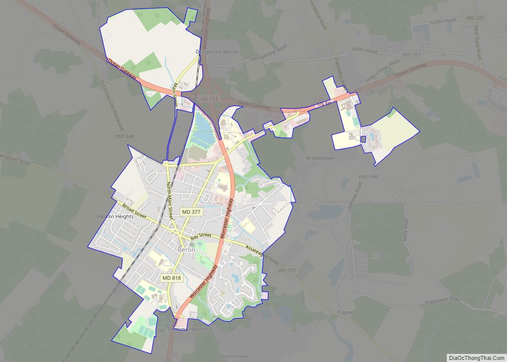
Snow Hill Road Map

Snow Hill city Satellite Map

Geography
Snow Hill is located at 38°10′30″N 75°23′27″W / 38.17500°N 75.39083°W / 38.17500; -75.39083 (38.175024, -75.390738).
According to the United States Census Bureau, the town has a total area of 3.12 square miles (8.08 km), of which 3.01 square miles (7.80 km) is land and 0.11 square miles (0.28 km) is water.
See also
Map of Maryland State and its subdivision: Map of other states:- Alabama
- Alaska
- Arizona
- Arkansas
- California
- Colorado
- Connecticut
- Delaware
- District of Columbia
- Florida
- Georgia
- Hawaii
- Idaho
- Illinois
- Indiana
- Iowa
- Kansas
- Kentucky
- Louisiana
- Maine
- Maryland
- Massachusetts
- Michigan
- Minnesota
- Mississippi
- Missouri
- Montana
- Nebraska
- Nevada
- New Hampshire
- New Jersey
- New Mexico
- New York
- North Carolina
- North Dakota
- Ohio
- Oklahoma
- Oregon
- Pennsylvania
- Rhode Island
- South Carolina
- South Dakota
- Tennessee
- Texas
- Utah
- Vermont
- Virginia
- Washington
- West Virginia
- Wisconsin
- Wyoming