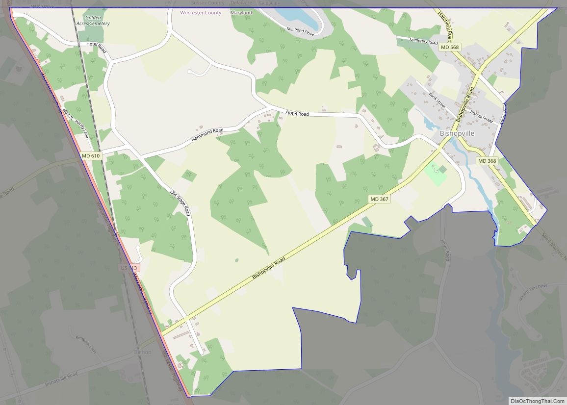
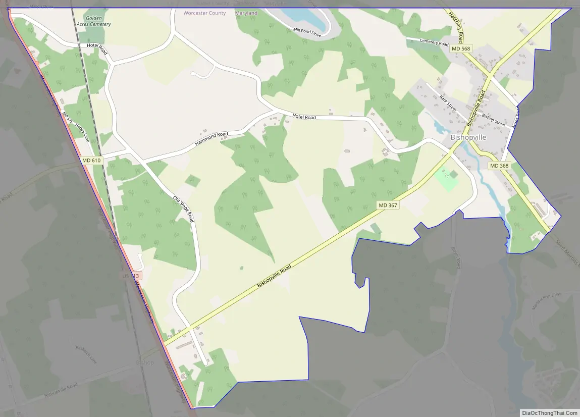
Bishopville is an unincorporated community and census-designated place 10 miles (16 km) north of Berlin in Worcester County, Maryland, United States. The community is just south of the Delaware state line. It is part of the Salisbury, Maryland-Delaware Metropolitan Statistical Area. As of the 2010 census, Bishopville had a population of 531.
Bishopville arose at the site of a mill on and crossing of the Bishopville Prong of the St. Martin’s River. The crossing, the main road through the community, is now Maryland Route 367.
| Name: | Bishopville CDP |
|---|---|
| LSAD Code: | 57 |
| LSAD Description: | CDP (suffix) |
| State: | Maryland |
| County: | Worcester County |
| Elevation: | 10 ft (3 m) |
| Total Area: | 2.89 sq mi (7.49 km²) |
| Land Area: | 2.86 sq mi (7.41 km²) |
| Water Area: | 0.03 sq mi (0.08 km²) |
| Total Population: | 499 |
| Population Density: | 174.35/sq mi (67.32/km²) |
| ZIP code: | 21813 |
| FIPS code: | 2407625 |
| GNISfeature ID: | 583255 |
Online Interactive Map
Click on ![]() to view map in "full screen" mode.
to view map in "full screen" mode.
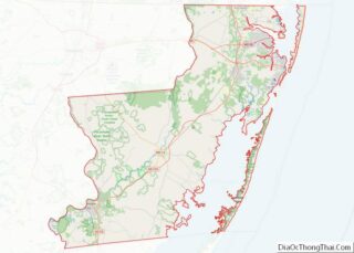
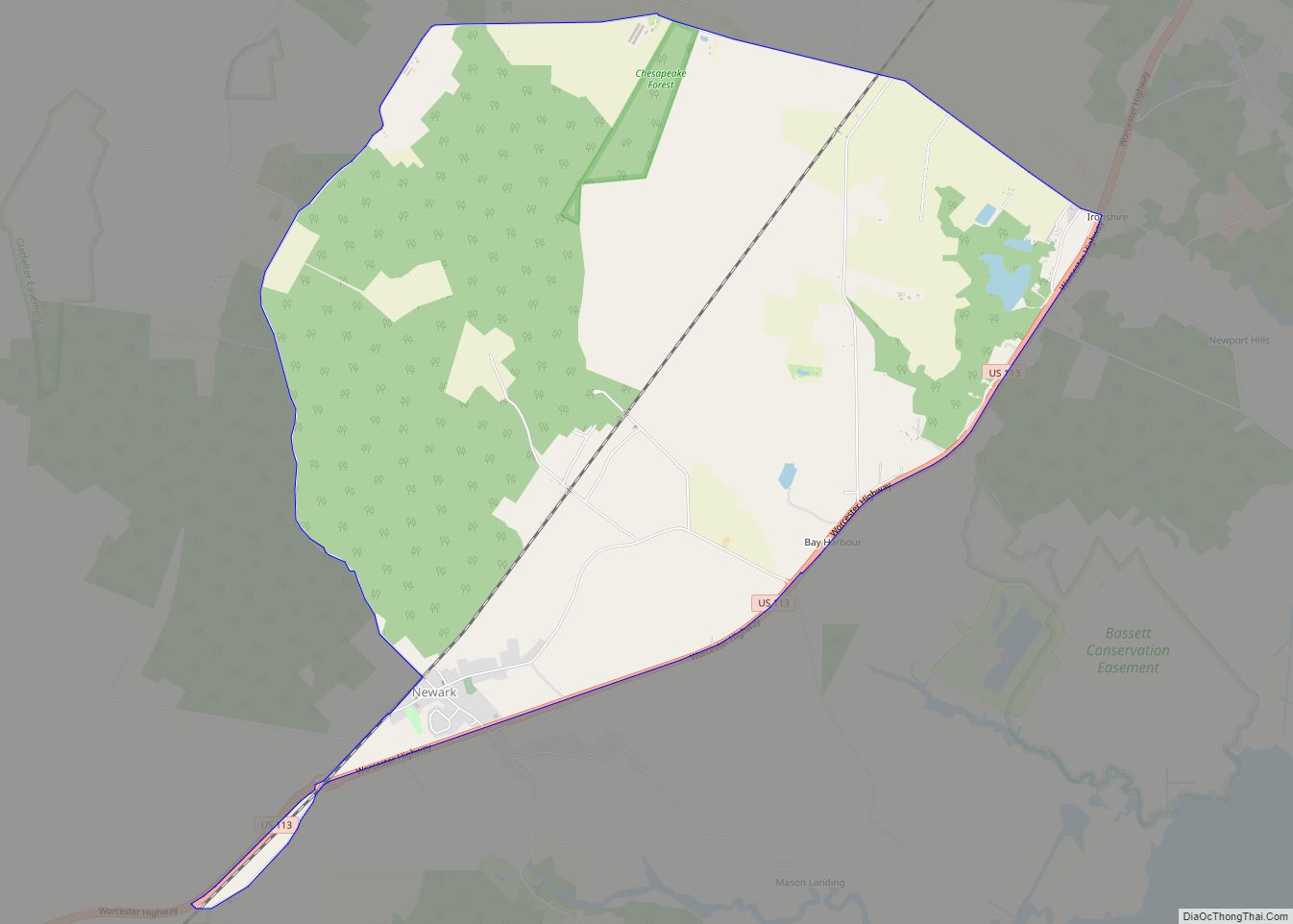
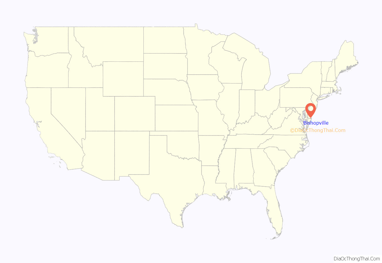
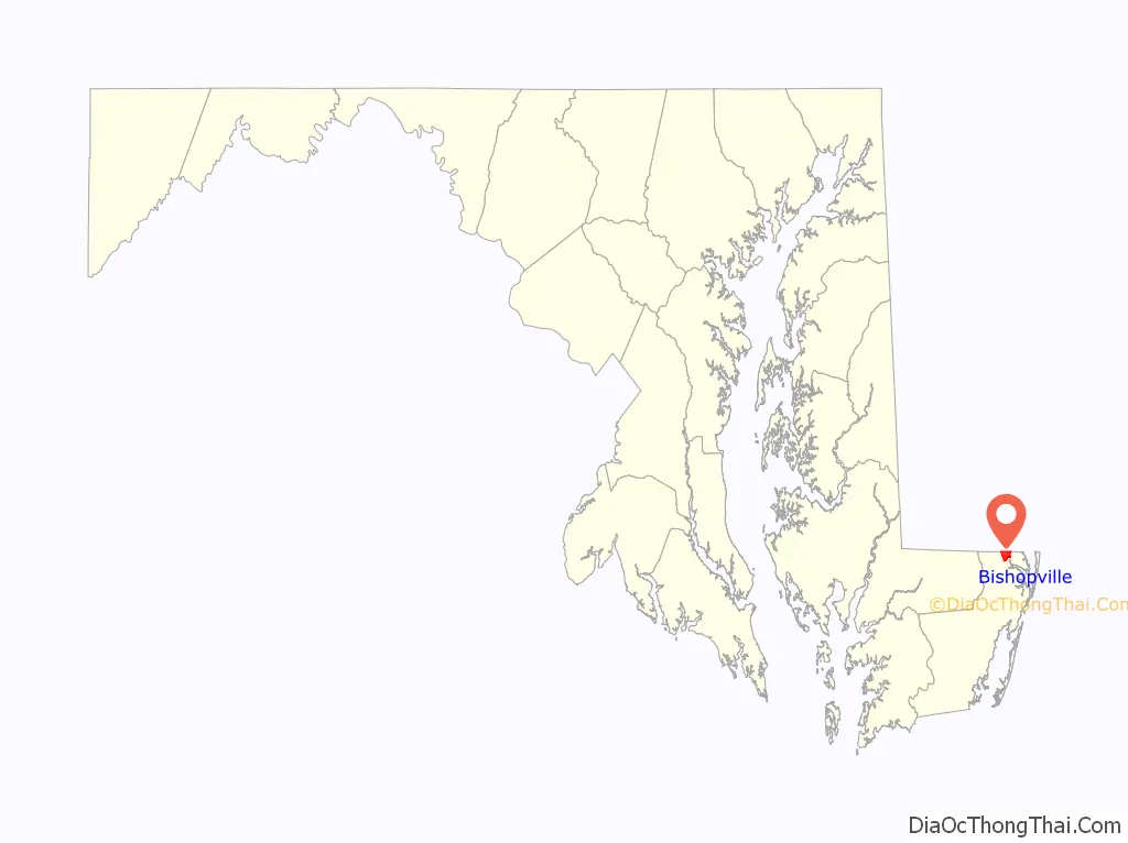
Bishopville location map. Where is Bishopville CDP?
Bishopville Road Map
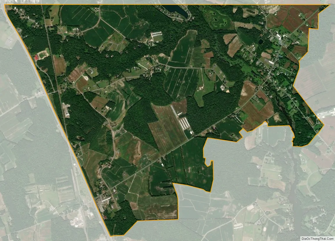
Bishopville city Satellite Map
See also
Map of Maryland State and its subdivision: Map of other states:- Alabama
- Alaska
- Arizona
- Arkansas
- California
- Colorado
- Connecticut
- Delaware
- District of Columbia
- Florida
- Georgia
- Hawaii
- Idaho
- Illinois
- Indiana
- Iowa
- Kansas
- Kentucky
- Louisiana
- Maine
- Maryland
- Massachusetts
- Michigan
- Minnesota
- Mississippi
- Missouri
- Montana
- Nebraska
- Nevada
- New Hampshire
- New Jersey
- New Mexico
- New York
- North Carolina
- North Dakota
- Ohio
- Oklahoma
- Oregon
- Pennsylvania
- Rhode Island
- South Carolina
- South Dakota
- Tennessee
- Texas
- Utah
- Vermont
- Virginia
- Washington
- West Virginia
- Wisconsin
- Wyoming