Brooklyn Park is a census-designated place (CDP) in Anne Arundel County, Maryland, United States. The population was 14,373 at the 2010 census.
| Name: | Brooklyn Park CDP |
|---|---|
| LSAD Code: | 57 |
| LSAD Description: | CDP (suffix) |
| State: | Maryland |
| County: | Anne Arundel County |
| Elevation: | 112 ft (34 m) |
| Total Area: | 4.27 sq mi (11.06 km²) |
| Land Area: | 4.21 sq mi (10.91 km²) |
| Water Area: | 0.06 sq mi (0.15 km²) |
| Total Population: | 16,112 |
| Population Density: | 3,826.17/sq mi (1,477.44/km²) |
| FIPS code: | 2410475 |
| GNISfeature ID: | 0589827 |
Online Interactive Map
Click on ![]() to view map in "full screen" mode.
to view map in "full screen" mode.
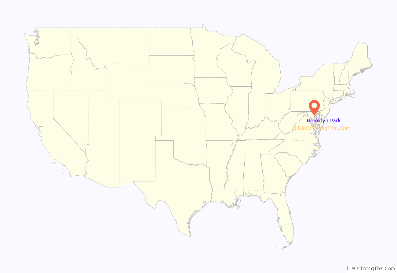
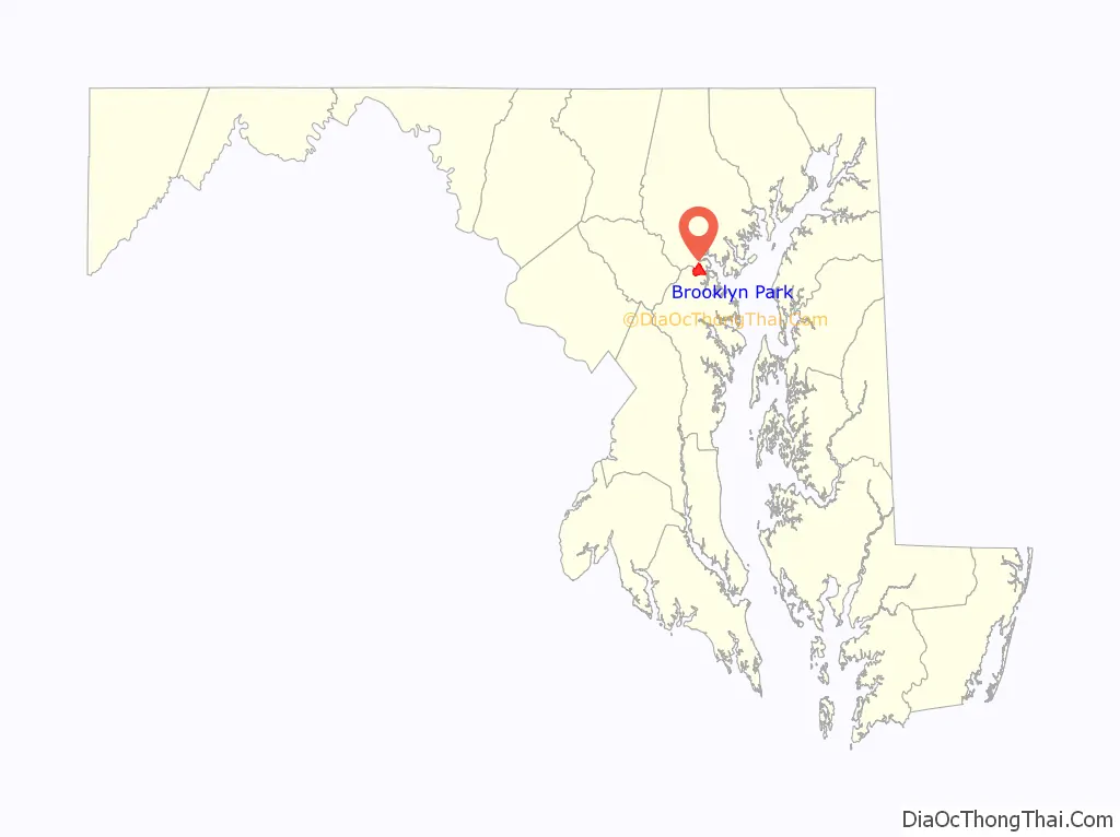
Brooklyn Park location map. Where is Brooklyn Park CDP?
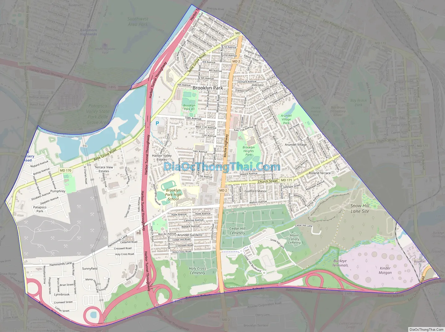
Brooklyn Park Road Map
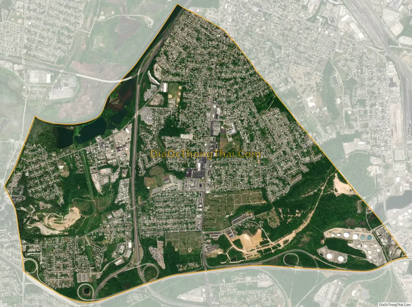
Brooklyn Park city Satellite Map
Geography
Brooklyn Park is located at 39°13′29″N 76°36′46″W / 39.22472°N 76.61278°W / 39.22472; -76.61278 (39.224857, −76.612655) on the northern edge of Anne Arundel County and borders the city of Baltimore along its southern boundary of 1919. The CDP is bordered as well by Interstate 695 (the Baltimore Beltway) to the south, by Maryland Route 648 (Baltimore Annapolis Boulevard) to the west, and by the Patapsco River, which forms the Anne Arundel County/Baltimore County boundary, to the northwest.
According to the United States Census Bureau, the CDP has a total area of 4.3 square miles (11.1 km), of which 4.2 square miles (10.9 km) is land and 0.077 square miles (0.2 km), or 1.65%, is water, consisting largely of the Patapsco River and associated wetlands.
Within the Baltimore city limits, adjacent to the CDP, are the older neighborhoods of Brooklyn (founded 1853), Curtis Bay (development proposed in 1874, buildings began in 1889), and several smaller communities that are now defunct: Fairfield, Masonville, Wagner’s Point (also known as East Brooklyn), Arundel Cove, and Hawkins Point.
The Brooklyn Park CDP in Anne Arundel County is composed of several smaller neighborhoods: old Brooklyn Park (west of Gov. Ritchie Highway – Maryland Route 2), Brooklyn Heights (east of Gov. Ritchie Highway), Arundel Village (along and north of Church Street), Roland Terrace (along and south of Church Street), Arundel Gardens (southwest of Gov. Ritchie Highway and south of Hammonds Lane), and Pumphrey, which lies along Belle Grove Road, south of the Patapsco River.
A History of Brooklyn-Curtis Bay, of approximately 200 pages, was published in September 1976, in celebration of the American Bicentennial by the members of the Brooklyn-Curtis Bay Historical Committee. Brooklyn Park has many different types of buildings such as schools and senior centers.
See also
Map of Maryland State and its subdivision: Map of other states:- Alabama
- Alaska
- Arizona
- Arkansas
- California
- Colorado
- Connecticut
- Delaware
- District of Columbia
- Florida
- Georgia
- Hawaii
- Idaho
- Illinois
- Indiana
- Iowa
- Kansas
- Kentucky
- Louisiana
- Maine
- Maryland
- Massachusetts
- Michigan
- Minnesota
- Mississippi
- Missouri
- Montana
- Nebraska
- Nevada
- New Hampshire
- New Jersey
- New Mexico
- New York
- North Carolina
- North Dakota
- Ohio
- Oklahoma
- Oregon
- Pennsylvania
- Rhode Island
- South Carolina
- South Dakota
- Tennessee
- Texas
- Utah
- Vermont
- Virginia
- Washington
- West Virginia
- Wisconsin
- Wyoming


