Galesville is an unincorporated town and census-designated place (CDP) in Anne Arundel County, Maryland, United States. As of the 2010 census, it had a population of 685.
Galesville is located at 38°50’35” north, 76°32’37” west (38.8431707 -76.5435702), along the western shore of the West River, an arm of the Chesapeake Bay. By road it is approximately 14 miles (23 km) south of Annapolis, the state capital.
| Name: | Galesville CDP |
|---|---|
| LSAD Code: | 57 |
| LSAD Description: | CDP (suffix) |
| State: | Maryland |
| County: | Anne Arundel County |
| Elevation: | 15 ft (5 m) |
| Total Area: | 1.69 sq mi (4.37 km²) |
| Land Area: | 1.32 sq mi (3.41 km²) |
| Water Area: | 0.37 sq mi (0.96 km²) |
| Total Population: | 623 |
| Population Density: | 473.04/sq mi (182.58/km²) |
| ZIP code: | 20765 |
| FIPS code: | 2431275 |
| GNISfeature ID: | 590272 |
Online Interactive Map
Click on ![]() to view map in "full screen" mode.
to view map in "full screen" mode.
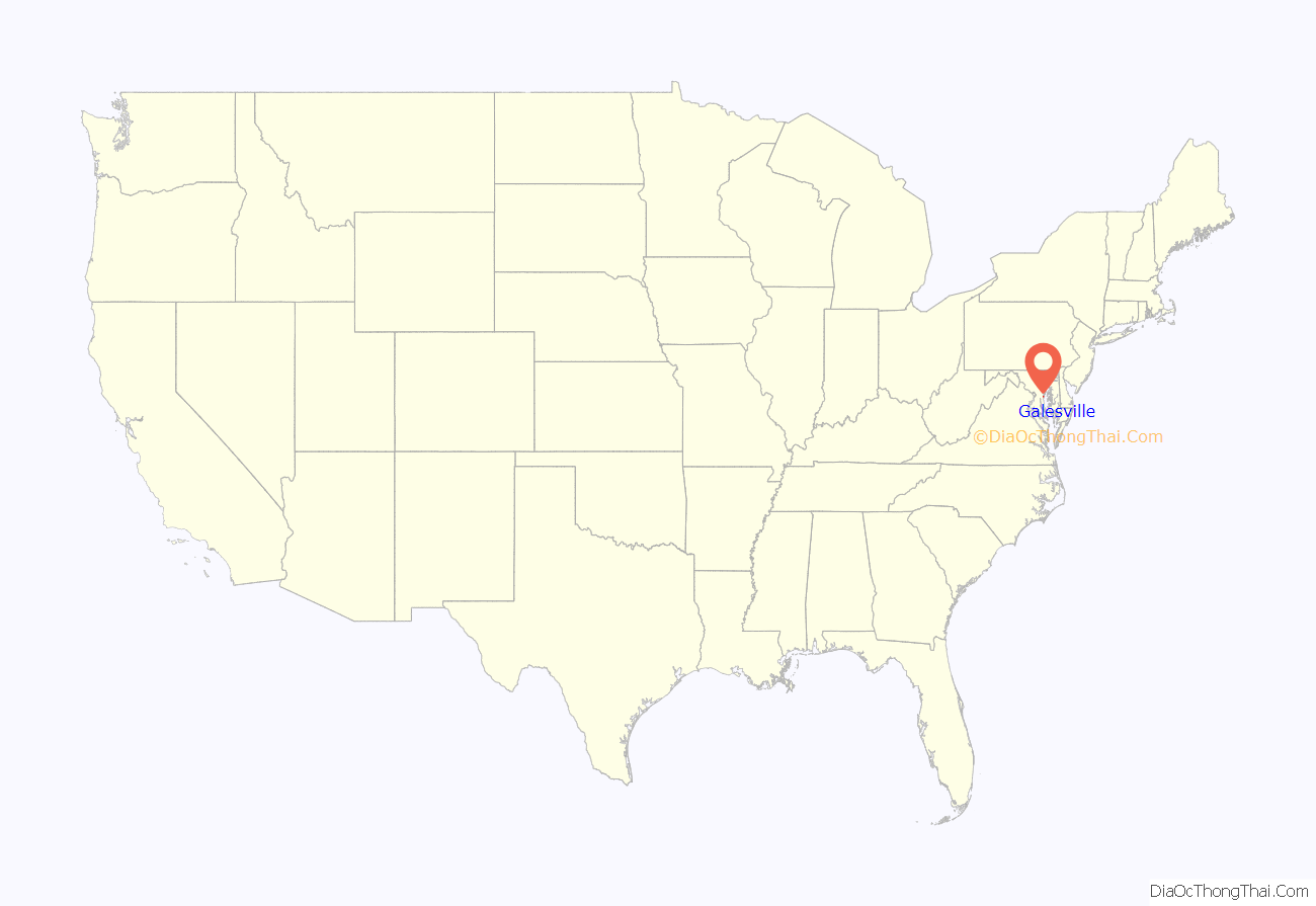
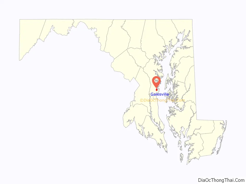
Galesville location map. Where is Galesville CDP?
History
The area was an early center of Quaker settlement in America and, through the West River Friends meeting, it is considered the birthplace of organized Quakerism in Maryland. The town was once the terminus of a steamship line connecting to Annapolis and Baltimore. Once a thriving community of Chesapeake Bay watermen and their families, the town has developed an industry around pleasure boating.
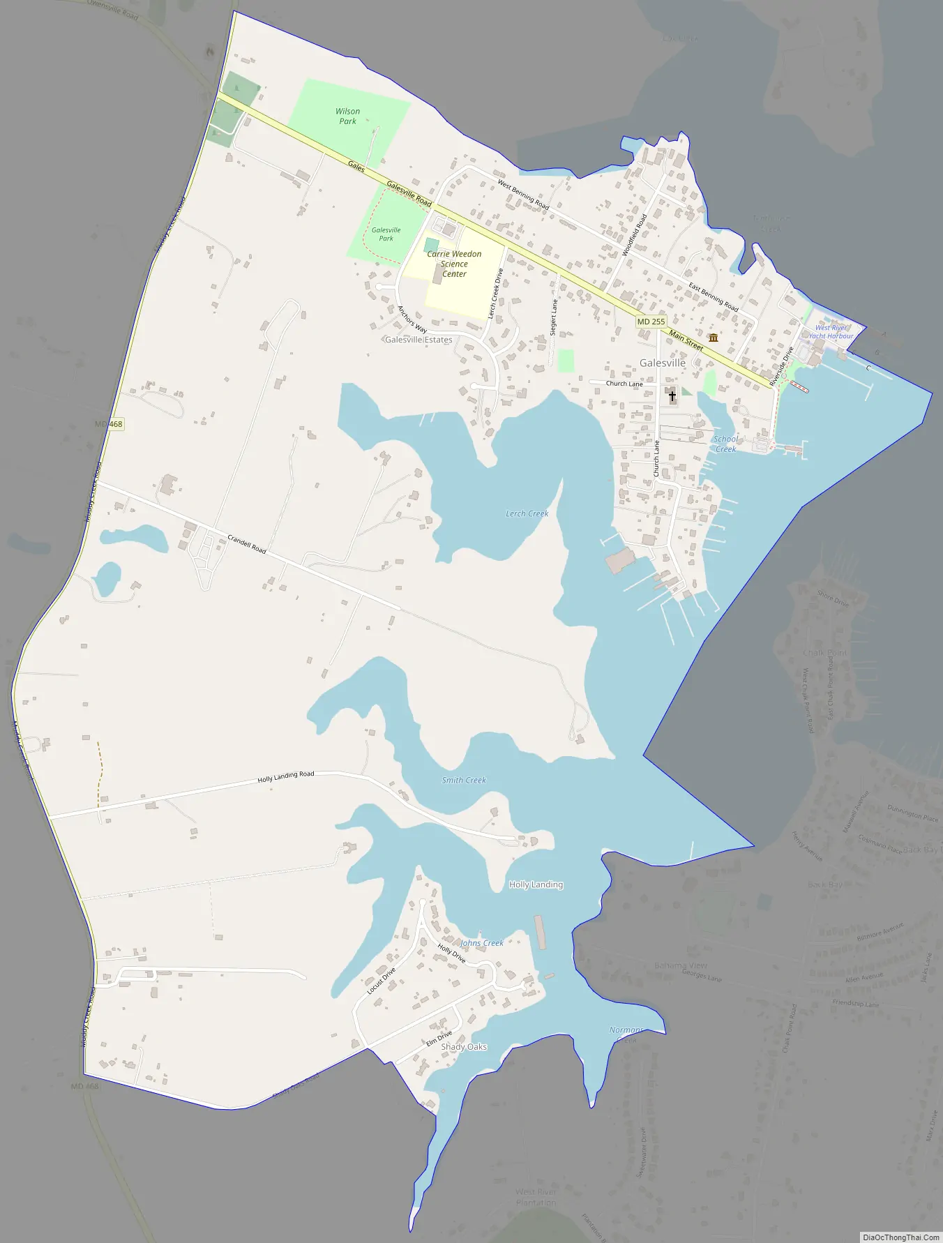
Galesville Road Map
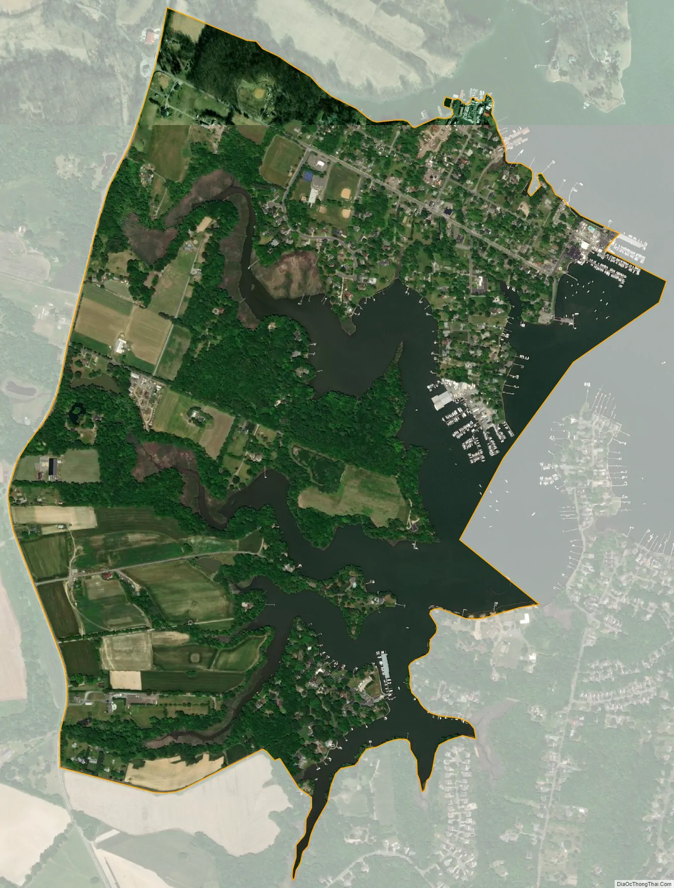
Galesville city Satellite Map
See also
Map of Maryland State and its subdivision: Map of other states:- Alabama
- Alaska
- Arizona
- Arkansas
- California
- Colorado
- Connecticut
- Delaware
- District of Columbia
- Florida
- Georgia
- Hawaii
- Idaho
- Illinois
- Indiana
- Iowa
- Kansas
- Kentucky
- Louisiana
- Maine
- Maryland
- Massachusetts
- Michigan
- Minnesota
- Mississippi
- Missouri
- Montana
- Nebraska
- Nevada
- New Hampshire
- New Jersey
- New Mexico
- New York
- North Carolina
- North Dakota
- Ohio
- Oklahoma
- Oregon
- Pennsylvania
- Rhode Island
- South Carolina
- South Dakota
- Tennessee
- Texas
- Utah
- Vermont
- Virginia
- Washington
- West Virginia
- Wisconsin
- Wyoming


