Linthicum is a census-designated place (CDP) and unincorporated community in Anne Arundel County, Maryland, United States. The population was 10,324 at the 2010 census. It is located directly north of Baltimore–Washington International Thurgood Marshall Airport (BWI).
Designated as “Linthicum Heights” and zip code 21090 by the U.S. Postal Service, Linthicum has been traditionally divided into two distinct communities each with its own community association and identity. These two communities, split by the Baltimore Beltway in 1957, are Linthicum and North Linthicum (or, alternatively, Linthicum-Shipley and North Linthicum.) Both communities developed as a result of their locations adjacent to the Baltimore and Annapolis Short Line railroad which brought commuters to the original truck farming community.
As a developed community, Linthicum began with the 1908 founding of the “Linthicum Heights Company”, though a “Linthicum” or “Linthicum’s” station on the 1887 Annapolis and Baltimore Short Line railroad existed at least as early as 1889. The community’s name was from the area’s primary land-owning family since an 1801 purchase by Abner Linthicum.
The Linthicum Heights Historic District was listed on the National Register of Historic Places in 2006.
| Name: | Linthicum CDP |
|---|---|
| LSAD Code: | 57 |
| LSAD Description: | CDP (suffix) |
| State: | Maryland |
| County: | Anne Arundel County |
| Elevation: | 138 ft (42 m) |
| Total Area: | 5.51 sq mi (14.26 km²) |
| Land Area: | 5.46 sq mi (14.15 km²) |
| Water Area: | 0.04 sq mi (0.12 km²) |
| Total Population: | 11,190 |
| Population Density: | 2,048.70/sq mi (790.96/km²) |
| ZIP code: | 21090 |
| Area code: | 410 |
| FIPS code: | 2447125 |
| GNISfeature ID: | 1710221 |
Online Interactive Map
Click on ![]() to view map in "full screen" mode.
to view map in "full screen" mode.
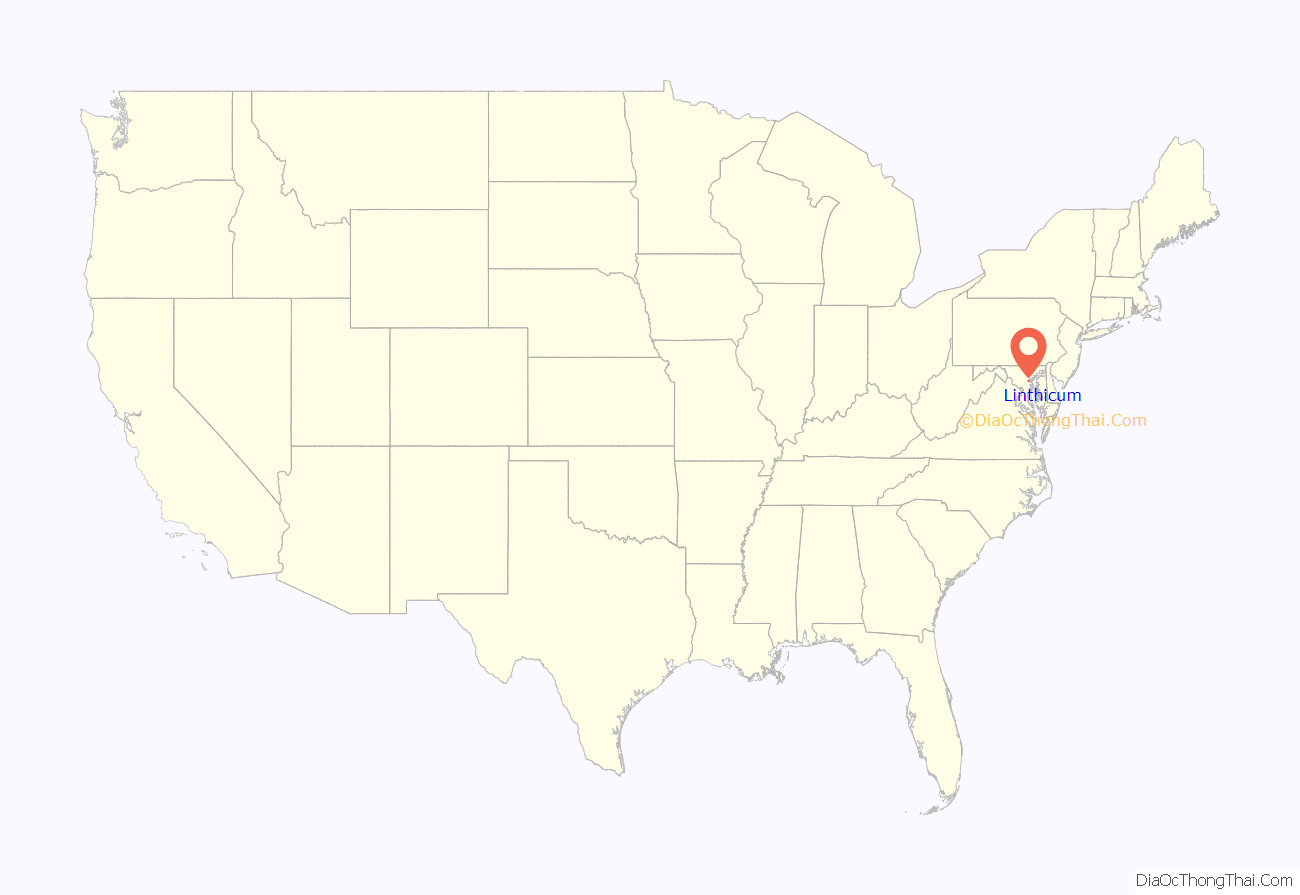
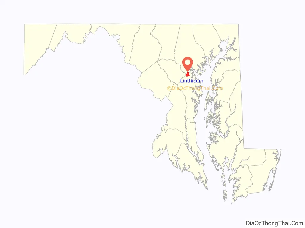
Linthicum location map. Where is Linthicum CDP?
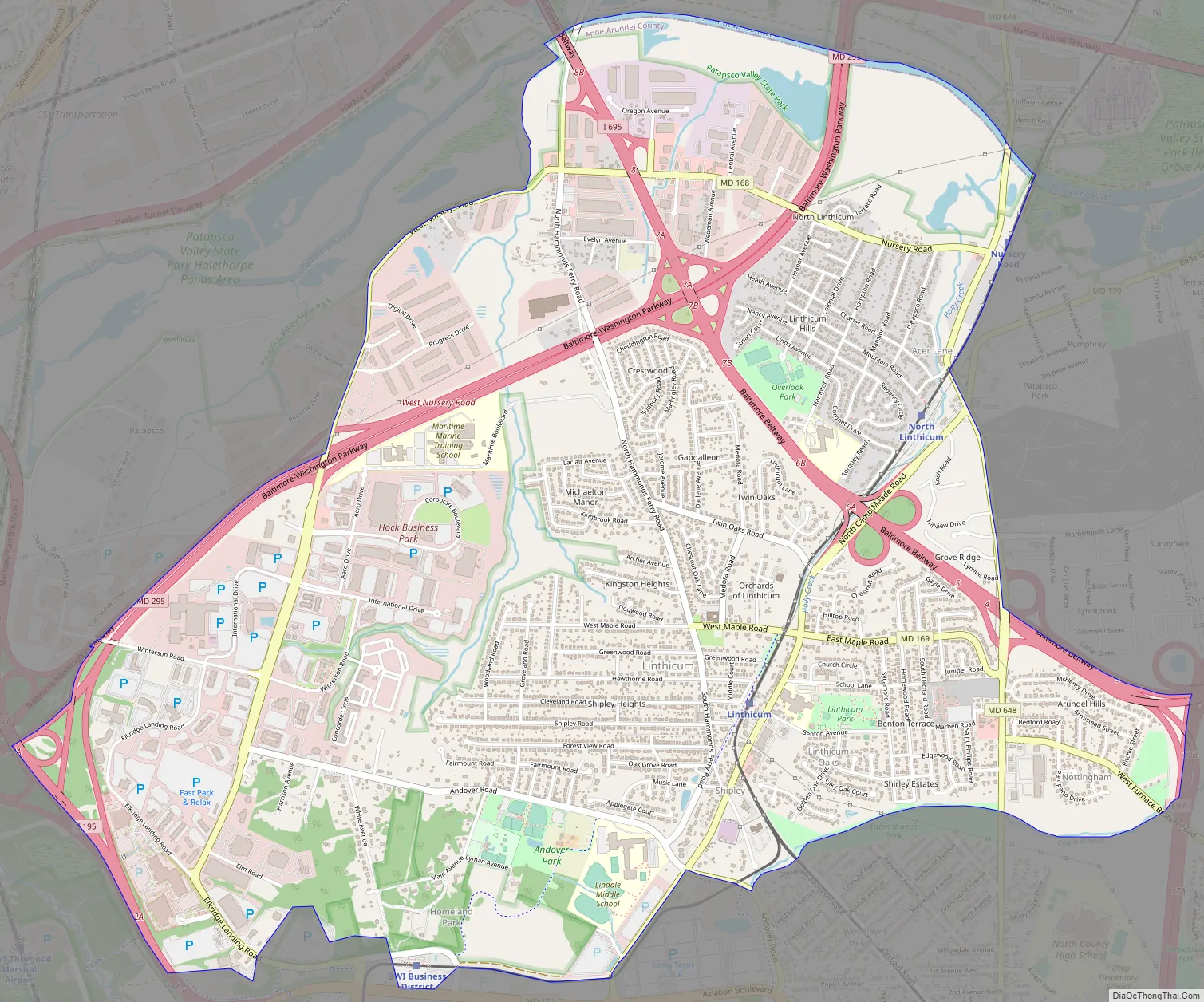
Linthicum Road Map
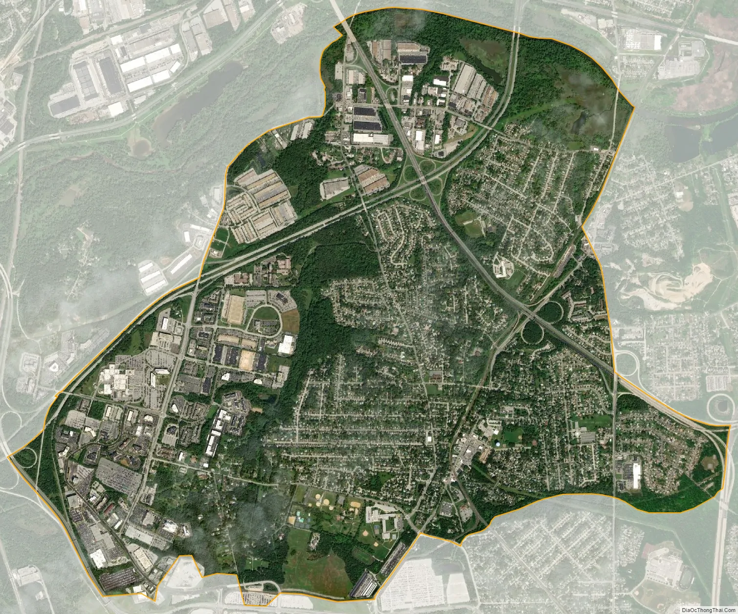
Linthicum city Satellite Map
Geography
Linthicum is located at 39°12′14″N 76°39′38″W / 39.20389°N 76.66056°W / 39.20389; -76.66056 (39.203876, −76.660506) in northern Anne Arundel County. It extends from the Patapsco River in the north (the Baltimore County line) to Maryland Route 170 (Aviation Boulevard) in the south, and from Interstate 195 in the west to Maryland Route 648 (Baltimore Annapolis Boulevard) in the east. It is bordered by the CDPs of Baltimore Highlands to the north (in Baltimore County), Brooklyn Park to the east, and Ferndale to the southeast, and by the Baltimore–Washington International Airport to the south.
The BWI Business District West Nursery area is located in Linthicum along the West Nursery Road corridor. The business district is home to numerous companies, offices, and commercial services.
Two major highways run through the CDP. The Baltimore Beltway (Interstate 695) runs northwest–southeast through Linthicum and intersects with the Baltimore–Washington Parkway (Maryland Route 295), which runs northeast-southwest. By the parkway it is 6 miles (10 km) northeast to downtown Baltimore and 32 miles (51 km) southwest to Washington, D.C.
According to the United States Census Bureau, the CDP has a total area of 5.5 square miles (14.3 km), of which 5.4 square miles (14.1 km) is land and 0.039 square miles (0.1 km), or 0.81%, is water.
See also
Map of Maryland State and its subdivision: Map of other states:- Alabama
- Alaska
- Arizona
- Arkansas
- California
- Colorado
- Connecticut
- Delaware
- District of Columbia
- Florida
- Georgia
- Hawaii
- Idaho
- Illinois
- Indiana
- Iowa
- Kansas
- Kentucky
- Louisiana
- Maine
- Maryland
- Massachusetts
- Michigan
- Minnesota
- Mississippi
- Missouri
- Montana
- Nebraska
- Nevada
- New Hampshire
- New Jersey
- New Mexico
- New York
- North Carolina
- North Dakota
- Ohio
- Oklahoma
- Oregon
- Pennsylvania
- Rhode Island
- South Carolina
- South Dakota
- Tennessee
- Texas
- Utah
- Vermont
- Virginia
- Washington
- West Virginia
- Wisconsin
- Wyoming


