Lutherville is a census-designated place (CDP) in Baltimore County, Maryland, United States. As of the 2010 census it had a population of 6,504. Prior to 2010 the area was part of the Lutherville-Timonium CDP. Within its borders lies the Lutherville Historic District.
| Name: | Lutherville CDP |
|---|---|
| LSAD Code: | 57 |
| LSAD Description: | CDP (suffix) |
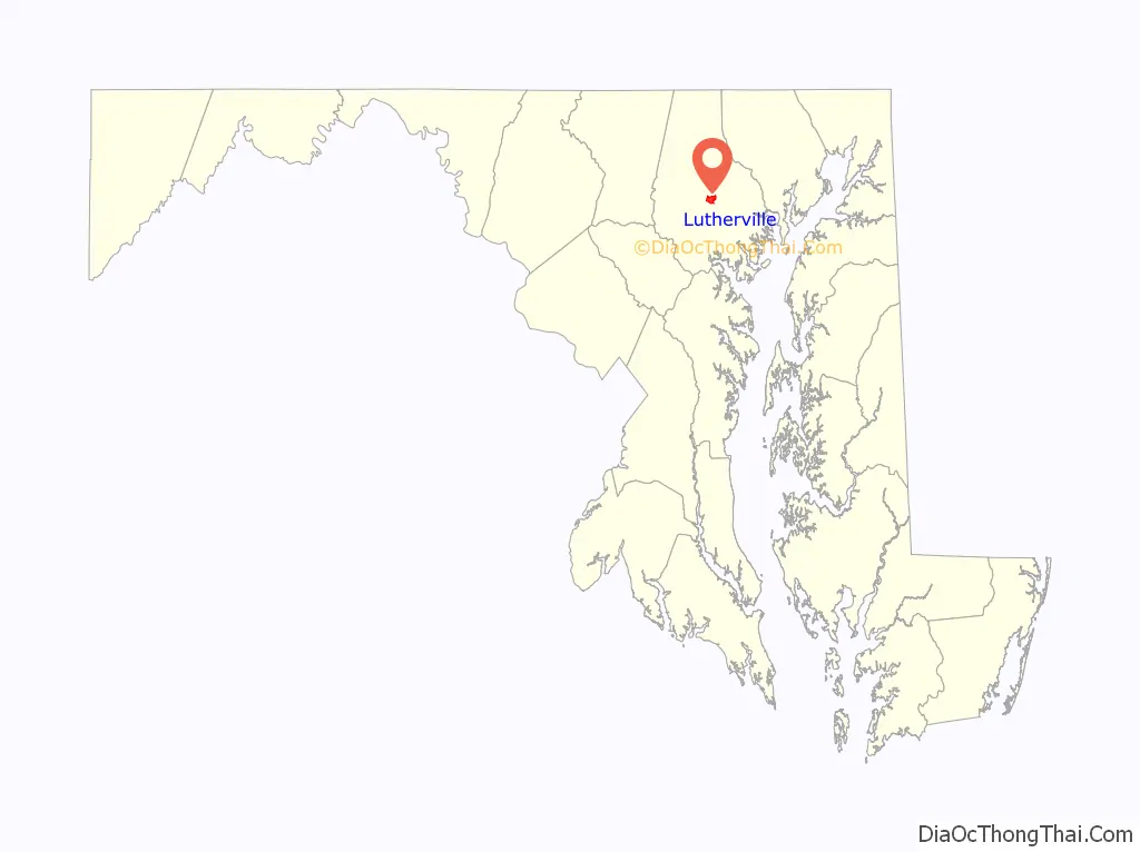
| State: | Maryland |
| County: | Baltimore County |
| Total Area: | 2.11 sq mi (5.47 km²) |
| Land Area: | 2.11 sq mi (5.47 km²) |
| Water Area: | 0.00 sq mi (0.00 km²) |
| Total Population: | 6,835 |
| Population Density: | 3,233.21/sq mi (1,248.54/km²) |
| ZIP code: | 21093-21094 |
| Area code: | 410, 443 |
| FIPS code: | 2448875 |
Online Interactive Map
Click on ![]() to view map in "full screen" mode.
to view map in "full screen" mode.
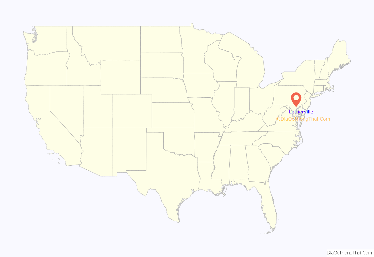
Lutherville location map. Where is Lutherville CDP?
History
The oldest section of Lutherville dates back to 1852, when it was founded by two Lutheran ministers as a planned community, anchored by a Lutheran seminary and church. The land was originally part of the vast Hampton Estate of Charles Ridgely, from whom it was purchased in 1851.
The two ministers, Benjamin Kurtz and John Morris, named the community after the 16th-century German reformer Martin Luther. The Lutherville Female Seminary, as it was initially called when chartered in 1853, was built near the tracks of the Baltimore & Susquehanna Railroad, a forerunner of the Northern Central Railway. In 1895, the institution was renamed the Maryland College for Women. Following a devastating fire in 1911, the college was rebuilt and continued in operation until 1952. Its campus is now an adult congregate living facility, College Manor.
The Lutherville Historic District was added to the National Register of Historic Places in 1972. Notable structures, in addition to the old college building and the many Victorian homes, include:
- St. Paul’s Lutheran Church, started in 1856 by John Morris. The present stone sanctuary was built in 1898.
- St. John’s Methodist Church, built in 1869.
- Church of the Holy Comforter, an Episcopal church built in 1888.
- Oak Grove, the house of Lutherville founder John Morris, built in 1852 on Morris Avenue. Filmmaker John Waters lived in the Oak Grove house with his family as a teenager in the 1960s. Some of Waters’ earliest filmmaking efforts took place at the house.
- Octagon house on Kurtz Avenue, built of concrete in 1855 by another Lutheran minister who also served as the town’s postmaster.
Lutherville Road Map
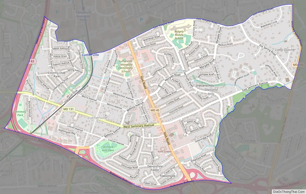
Lutherville city Satellite Map

Geography
Lutherville is located at 39°25′26″N 76°37′3″W / 39.42389°N 76.61750°W / 39.42389; -76.61750 (39.4240, −76.6177).
According to the United States Census Bureau, the CDP had a total area of 2.1 square miles (5.5 km), all land.
The town is located north of Baltimore City along York Road (Maryland Route 45). It is bordered on the north by Timonium, on the west by Interstate 83, on the south by Towson, and on the east by the Hampton neighborhood. The boundary between Lutherville and Timonium is Ridgely Road.
Lutherville is located in the Piedmont region of the United States, and lies in the humid subtropical climate zone, with hot and humid summers leading into winters that are chilly but not extreme by American standards. The average annual snowfall is 25 inches (64 cm) and average annual precipitation is 42 inches (107 cm).
See also
Map of Maryland State and its subdivision: Map of other states:- Alabama
- Alaska
- Arizona
- Arkansas
- California
- Colorado
- Connecticut
- Delaware
- District of Columbia
- Florida
- Georgia
- Hawaii
- Idaho
- Illinois
- Indiana
- Iowa
- Kansas
- Kentucky
- Louisiana
- Maine
- Maryland
- Massachusetts
- Michigan
- Minnesota
- Mississippi
- Missouri
- Montana
- Nebraska
- Nevada
- New Hampshire
- New Jersey
- New Mexico
- New York
- North Carolina
- North Dakota
- Ohio
- Oklahoma
- Oregon
- Pennsylvania
- Rhode Island
- South Carolina
- South Dakota
- Tennessee
- Texas
- Utah
- Vermont
- Virginia
- Washington
- West Virginia
- Wisconsin
- Wyoming


