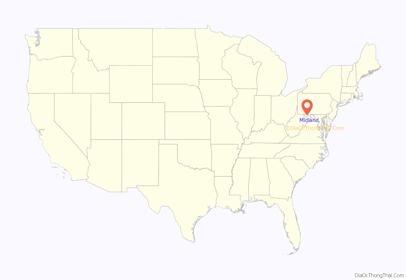
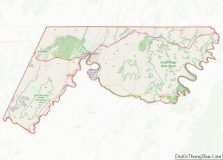
Midland is a town in Allegany County, Maryland, United States, along the Georges Creek Valley. It is part of the Cumberland, MD-WV Metropolitan Statistical Area. The population was 446 at the 2010 census. Midland was founded in 1850 as a coal-mining community, though today only some strip mining remains.
| Name: | Midland town |
|---|---|
| LSAD Code: | 43 |
| LSAD Description: | town (suffix) |
| State: | Maryland |
| County: | Allegany County |
| Incorporated: | 1900 |
| Elevation: | 1,713 ft (522 m) |
| Total Area: | 0.16 sq mi (0.41 km²) |
| Land Area: | 0.16 sq mi (0.41 km²) |
| Water Area: | 0.00 sq mi (0.00 km²) |
| Total Population: | 488 |
| Population Density: | 3,088.61/sq mi (1,192.74/km²) |
| ZIP code: | 21542 |
| Area code: | 301, 240 |
| FIPS code: | 2452475 |
| GNISfeature ID: | 0585837 |
Online Interactive Map
Click on ![]() to view map in "full screen" mode.
to view map in "full screen" mode.
Midland location map. Where is Midland town?
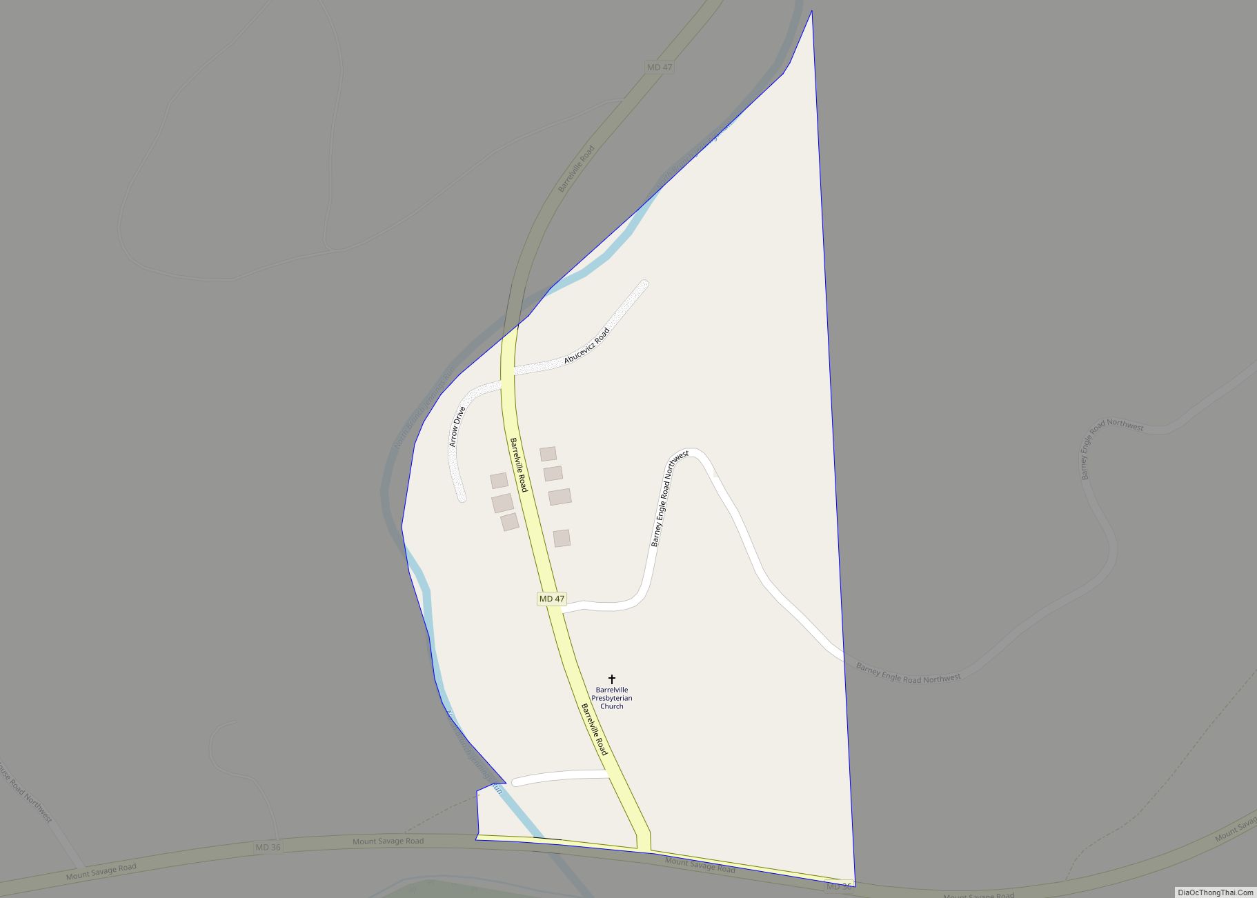
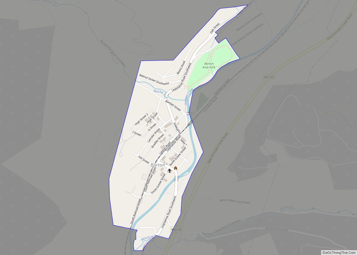
Midland Road Map
Midland city Satellite Map
Geography
Midland is located at 39°35′23″N 78°56′56″W / 39.58972°N 78.94889°W / 39.58972; -78.94889 (39.589842, -78.948772).
According to the United States Census Bureau, the town has a total area of 0.19 square miles (0.49 km), all land.
The town of Midland is 1,600 feet (490 m) above sea level, is located 5 miles (8 km) south of Frostburg and 3 miles (5 km) north of Lonaconing. Paradise Run and Neff’s Run carry the precipitation from Dan’s Mountain on the east to Georges Creek, while Squirrel Neck Run feeds it from the west off Savage Mountain.
Approximately three miles beyond the town’s limits is an outcropping known as Dan’s Rock, from which it is possible to view the eastern end of the county and nearby West Virginia.
Nearby communities
- Cumberland
- Lonaconing
- Frostburg
- Barton
- Cresaptown-Bel Air
- Westernport
- Piedmont, West Virginia
- LaVale
- Keyser, West Virginia
See also
Map of Maryland State and its subdivision: Map of other states:- Alabama
- Alaska
- Arizona
- Arkansas
- California
- Colorado
- Connecticut
- Delaware
- District of Columbia
- Florida
- Georgia
- Hawaii
- Idaho
- Illinois
- Indiana
- Iowa
- Kansas
- Kentucky
- Louisiana
- Maine
- Maryland
- Massachusetts
- Michigan
- Minnesota
- Mississippi
- Missouri
- Montana
- Nebraska
- Nevada
- New Hampshire
- New Jersey
- New Mexico
- New York
- North Carolina
- North Dakota
- Ohio
- Oklahoma
- Oregon
- Pennsylvania
- Rhode Island
- South Carolina
- South Dakota
- Tennessee
- Texas
- Utah
- Vermont
- Virginia
- Washington
- West Virginia
- Wisconsin
- Wyoming
