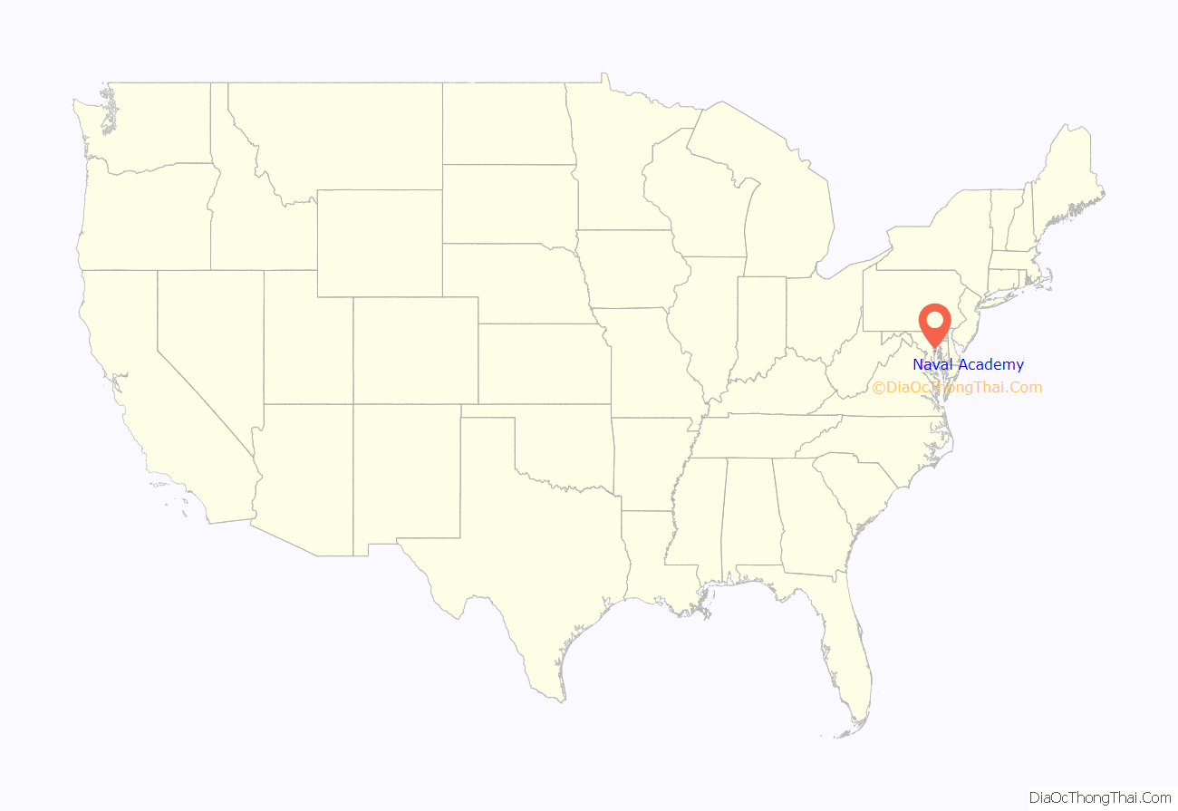
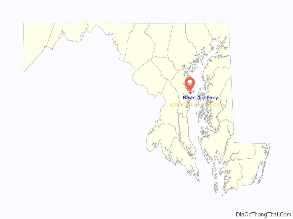
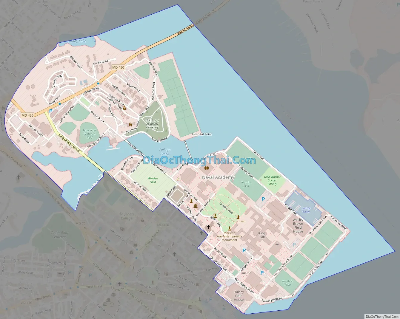
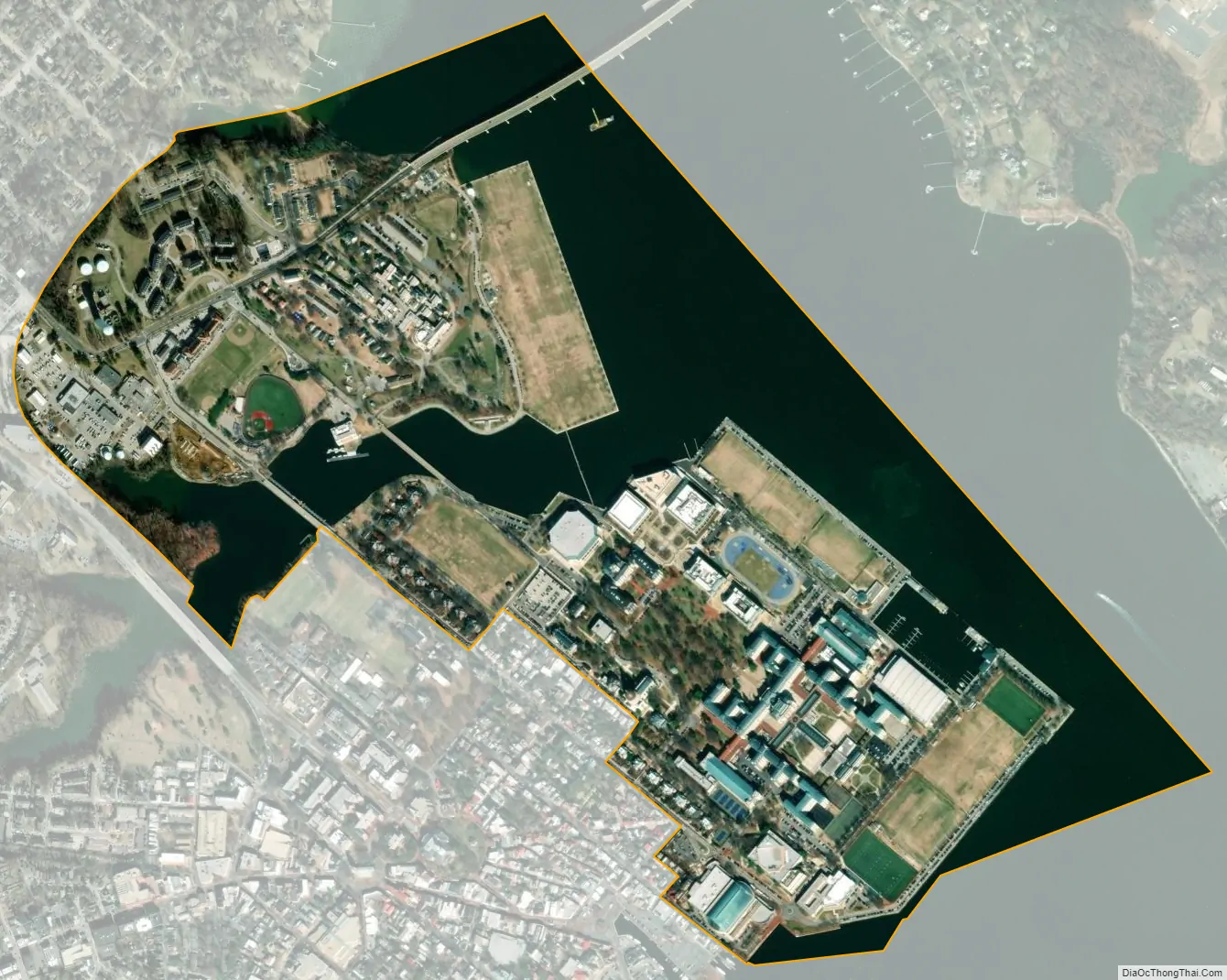
Naval Academy is a census-designated place (CDP) in Anne Arundel County, Maryland, United States, which covers the campus of the United States Naval Academy. The population was 4,802 at the 2010 census.
| Name: | Naval Academy CDP |
|---|---|
| LSAD Code: | 57 |
| LSAD Description: | CDP (suffix) |
| State: | Maryland |
| County: | Anne Arundel County |
| Total Area: | 0.86 sq mi (2.22 km²) |
| Land Area: | 0.54 sq mi (1.38 km²) |
| Water Area: | 0.32 sq mi (0.83 km²) |
| Total Population: | 485 |
| Population Density: | 906.54/sq mi (350.34/km²) |
| ZIP code: | 21402 (administration & faculty), 21412 (student dormitory) |
| Area code: | 410, 443, and 667 |
| FIPS code: | 2455050 |
Online Interactive Map
Click on ![]() to view map in "full screen" mode.
to view map in "full screen" mode.
Geography
According to the United States Census Bureau, the CDP has a total area of 0.85 square miles (2.2 km), of which 0.54 square miles (1.4 km) is land and 0.31 square miles (0.8 km), or 36.85%, is water.
See also
Map of Maryland State and its subdivision: Map of other states:- Alabama
- Alaska
- Arizona
- Arkansas
- California
- Colorado
- Connecticut
- Delaware
- District of Columbia
- Florida
- Georgia
- Hawaii
- Idaho
- Illinois
- Indiana
- Iowa
- Kansas
- Kentucky
- Louisiana
- Maine
- Maryland
- Massachusetts
- Michigan
- Minnesota
- Mississippi
- Missouri
- Montana
- Nebraska
- Nevada
- New Hampshire
- New Jersey
- New Mexico
- New York
- North Carolina
- North Dakota
- Ohio
- Oklahoma
- Oregon
- Pennsylvania
- Rhode Island
- South Carolina
- South Dakota
- Tennessee
- Texas
- Utah
- Vermont
- Virginia
- Washington
- West Virginia
- Wisconsin
- Wyoming


