Owings is a town center and census-designated place (CDP) in northern Calvert County, Maryland, United States. The population was 2,149 at the 2010 census, up from 1,325 in 2000.
| Name: | Owings CDP |
|---|---|
| LSAD Code: | 57 |
| LSAD Description: | CDP (suffix) |
| State: | Maryland |
| County: | Calvert County |
| Elevation: | 89 ft (27 m) |
| Total Area: | 3.95 sq mi (10.23 km²) |
| Land Area: | 3.94 sq mi (10.20 km²) |
| Water Area: | 0.01 sq mi (0.03 km²) |
| Total Population: | 2,141 |
| Population Density: | 543.54/sq mi (209.85/km²) |
| ZIP code: | 20736 |
| Area code: | 410, 443, and 667 |
| FIPS code: | 2459375 |
| GNISfeature ID: | 0590959 |
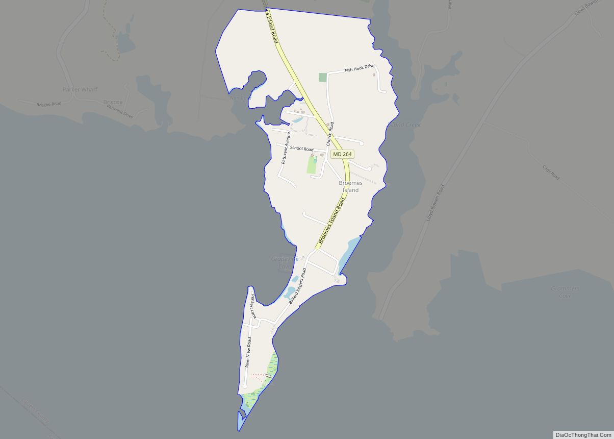
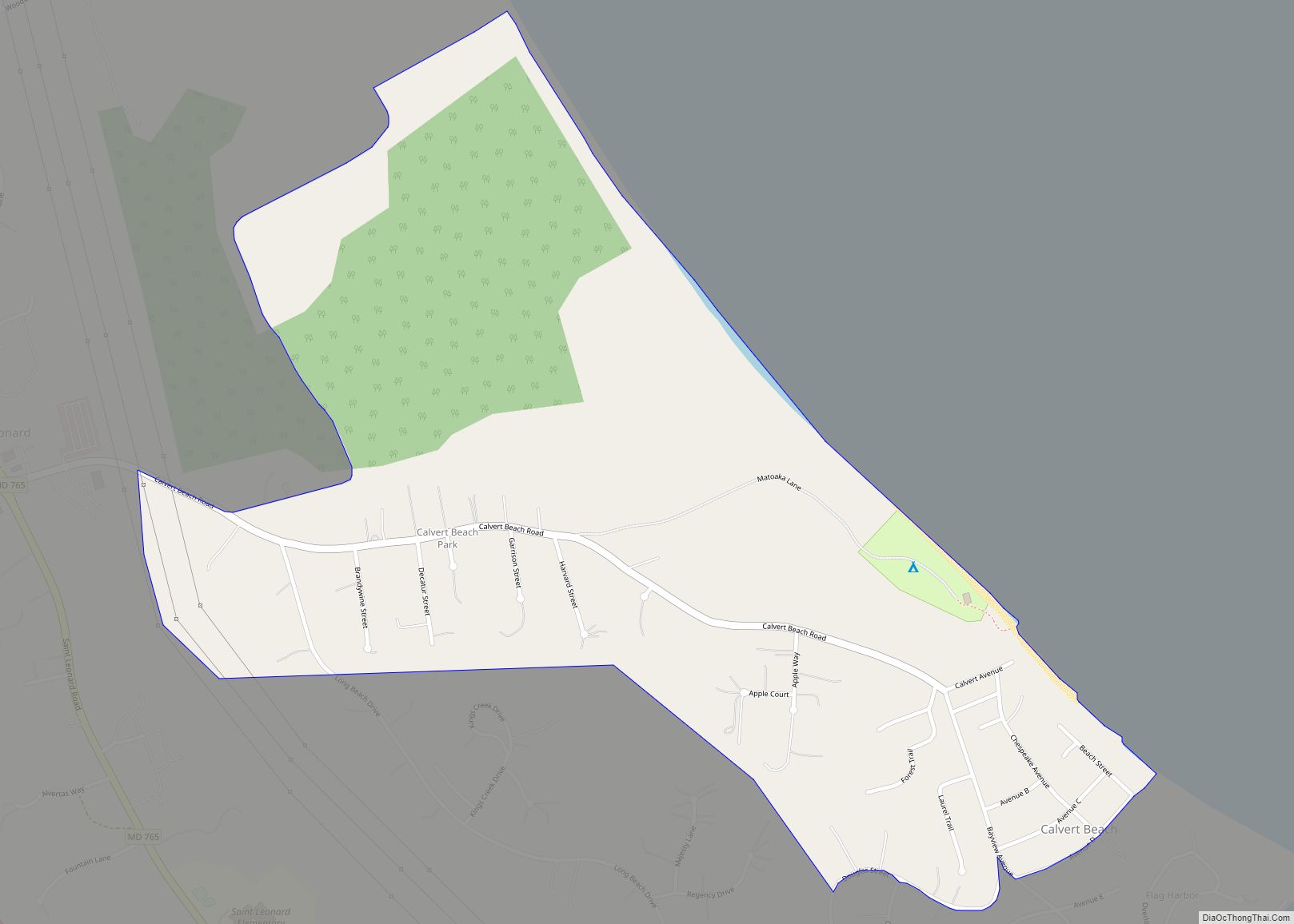
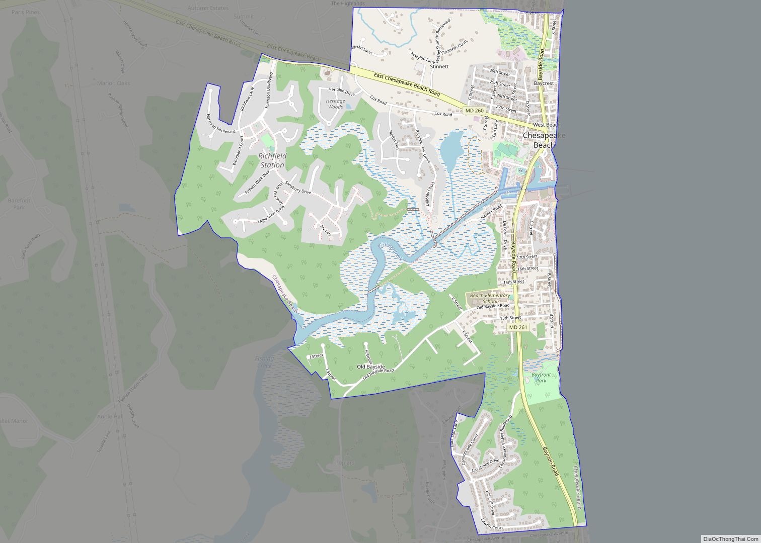
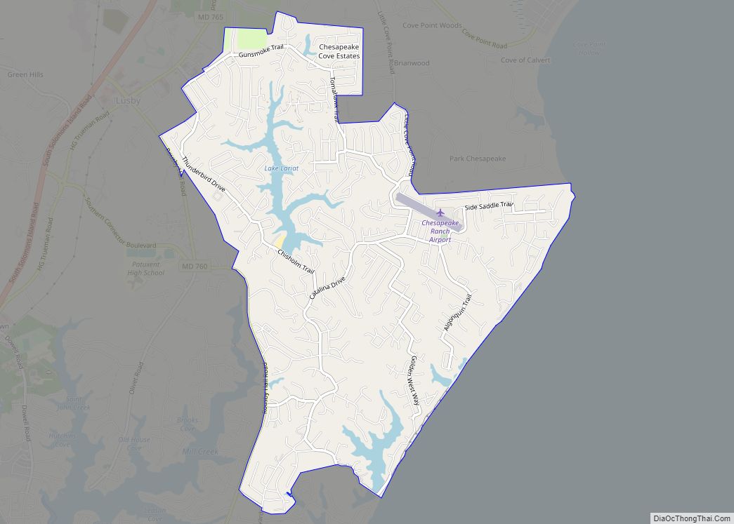
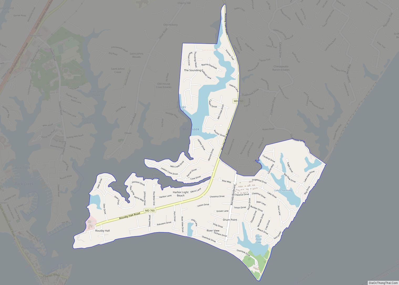
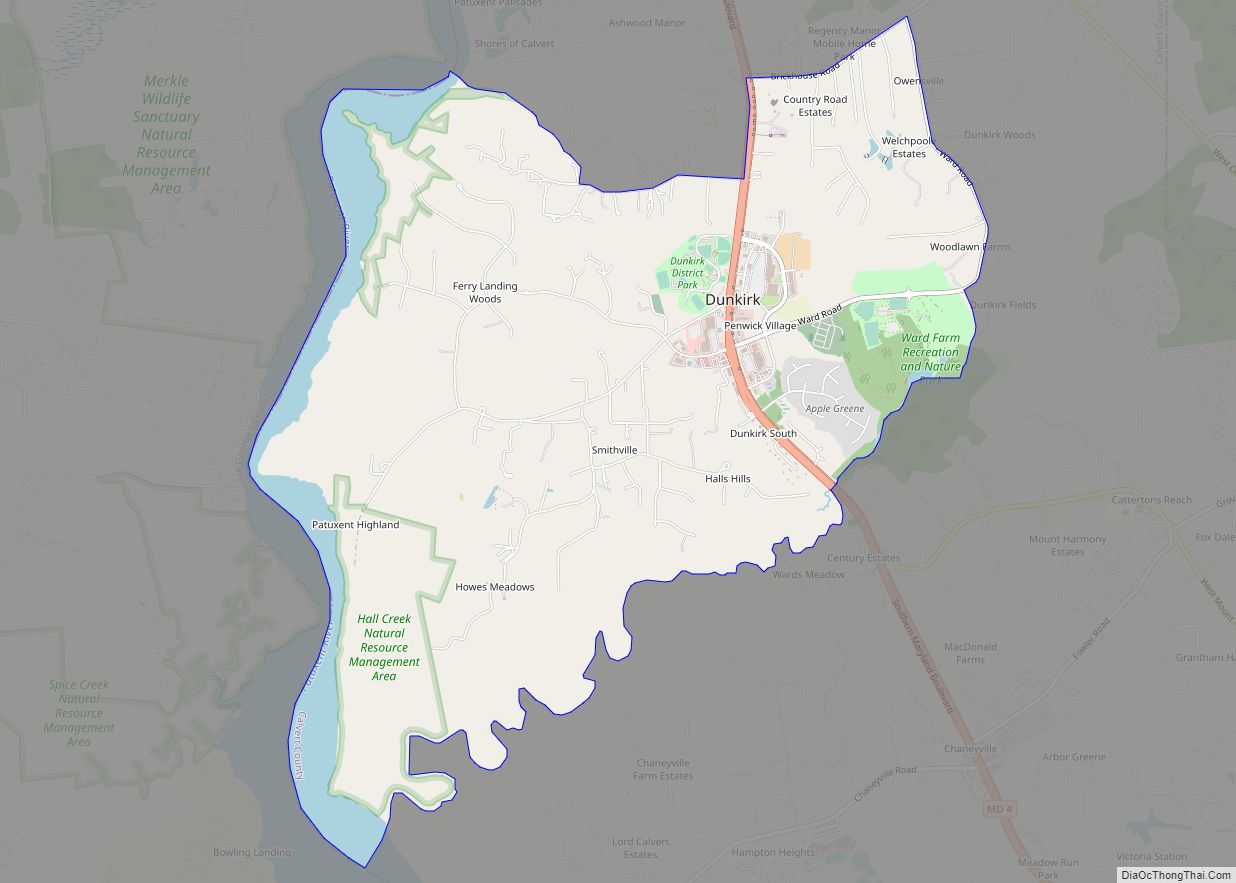
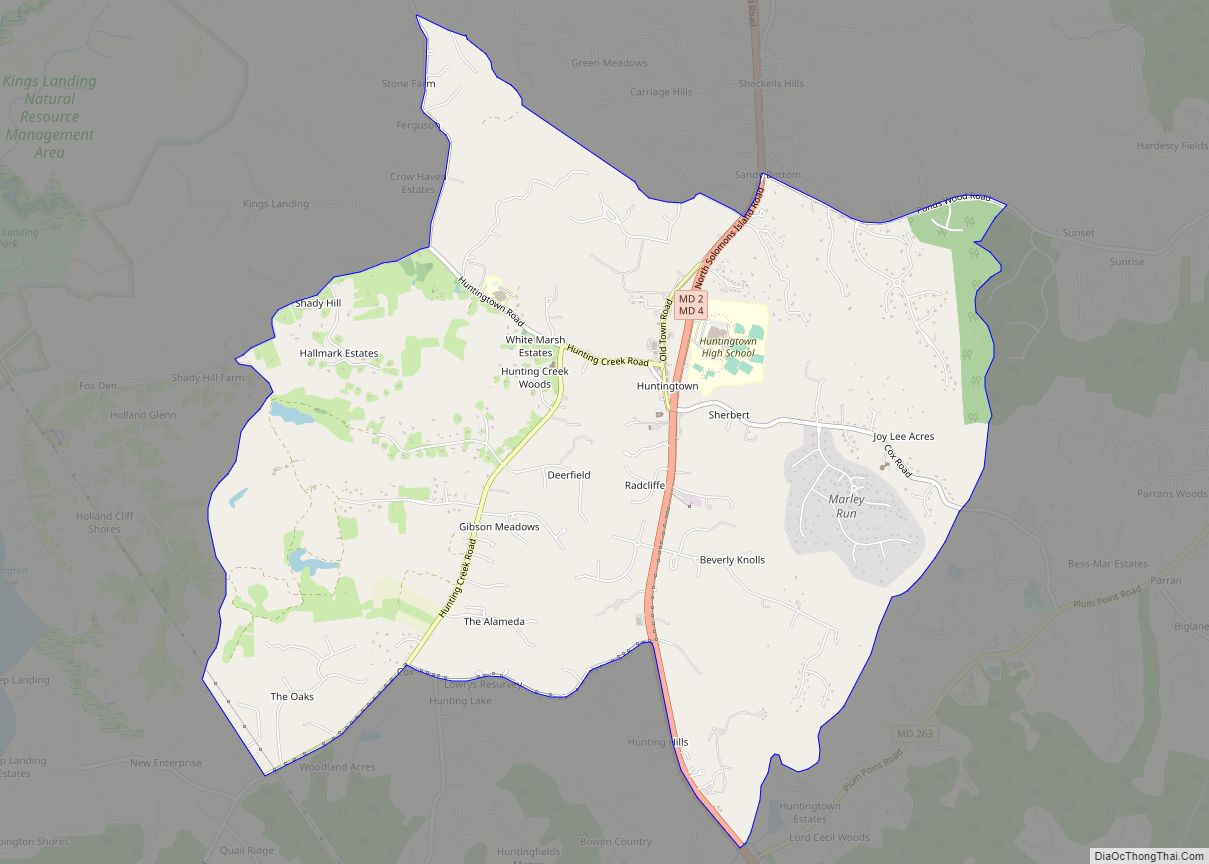
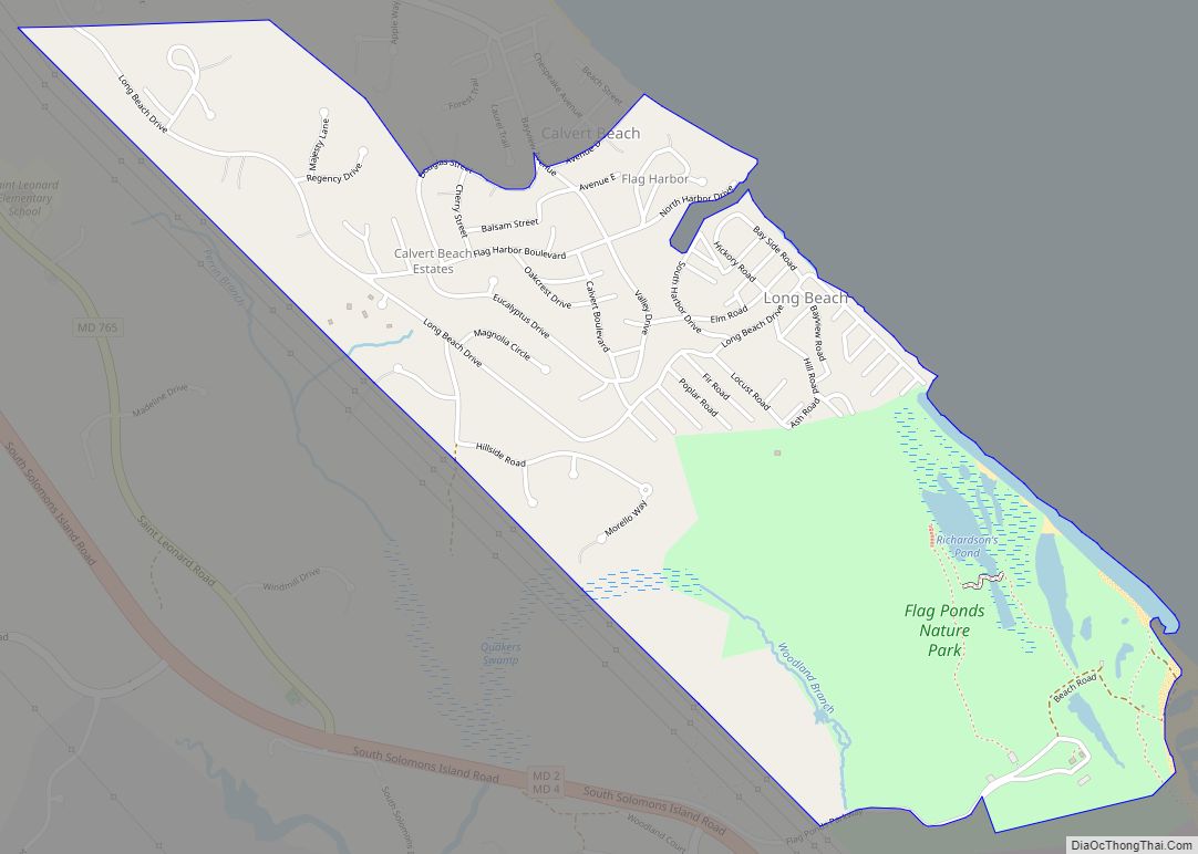
Online Interactive Map
Click on ![]() to view map in "full screen" mode.
to view map in "full screen" mode.
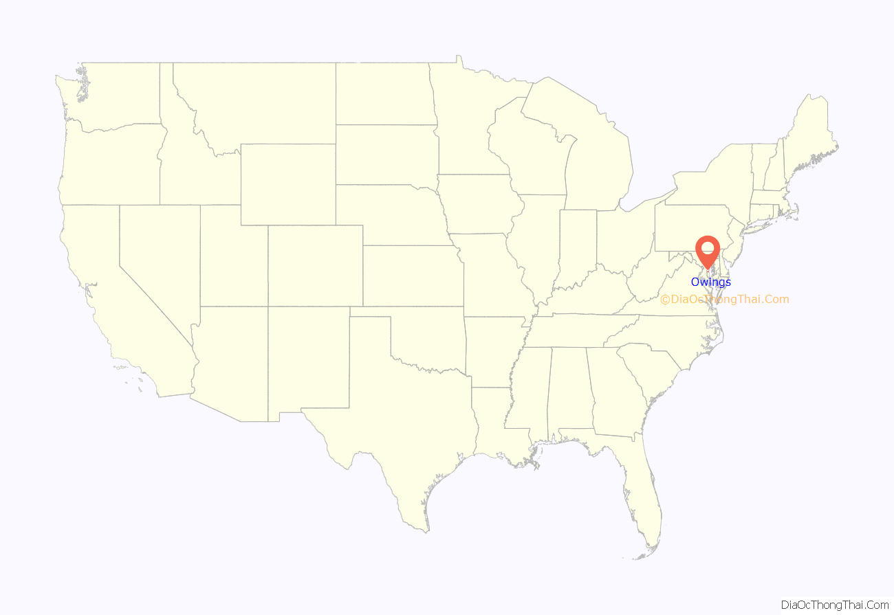
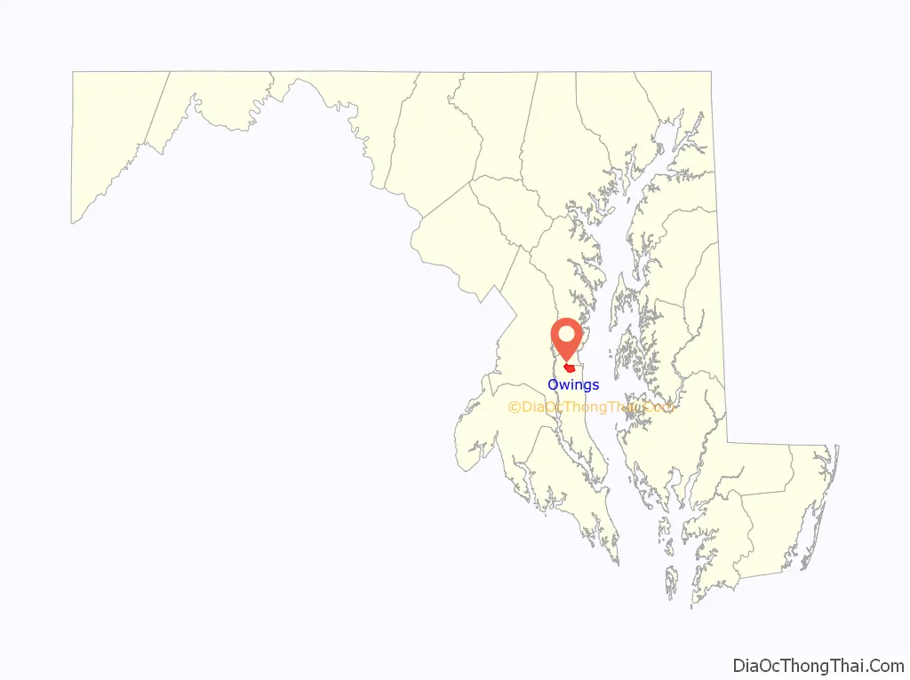
Owings location map. Where is Owings CDP?
History
Prior to the arrival of the railroad, Calvert County was a rural county with few roads and no railroads. There were no factories and the primary industry was tobacco farming like most of Southern Maryland prior to the Civil War.
The Owings family had long been present in Maryland since the 18th century in various roles such as real estate brokers, merchants and tradesmen. They were instrumental in the development of the North Beach/Chesapeake Beach area as a summer resort. It was also instrumental in the planning of the Chesapeake Beach Railway and utilizing it to ship canned goods out of the county.
Owings was named after Harry P. Owings. The railway station located at the line’s intersection with Solomons Island Road was originally known as “Friendship”. To avoid any confusion with the town of Friendship located 1.6 miles (2.6 km) northeast of Owings in Anne Arundel County, the president of the railway, David Moffatt, renamed the station “Owings”. It was also a tribute to Harry P. Owings. Mr. Owings had been a one-time member of the Maryland House of Delegates as a Democrat from 1888 to 1889. He was a local farmer and was interested in the real estate business. The town of Owings was a result of that interest as many residents purchased land in the area which he had subdivided through his real estate business. He also served as a sales agent in the county for lime, fertilizer, coal, and corrugated metal roofs. In August 1900, Harry P. Owings requested the position of station manager in a letter sent from Owings Station and now in the archives of the Chesapeake Bay Railway Museum archives and was granted the position.
Harry P. Owings also owned the Owings House located at 9740 Old Solomons Road which is currently recorded with the Maryland Historical Trust. The house was built in 1850 and later served as a boarding house for County residents visiting Owings. The residents would board their horses in the stables and sleep at the Owings House prior to boarding the train the following morning. The Owings railway stop was the only one in Calvert County in the early days of the line.
A sawmill used to operate in Owings in the early 20th Century near Old Solomonds Road. It has since disappeared.
The Maidstone Plantation was listed on the National Register of Historic Places in 1971.
Owings Road Map
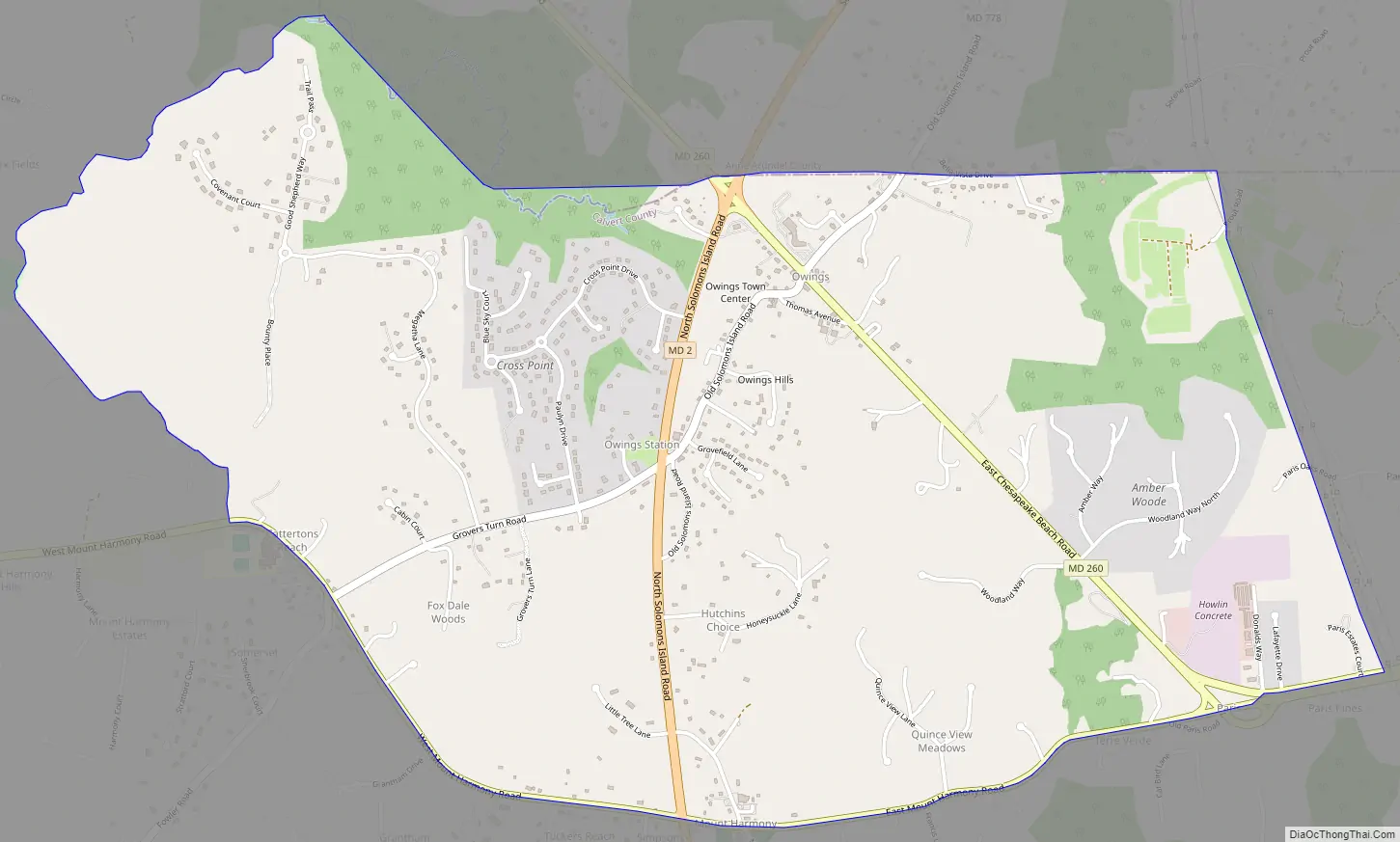
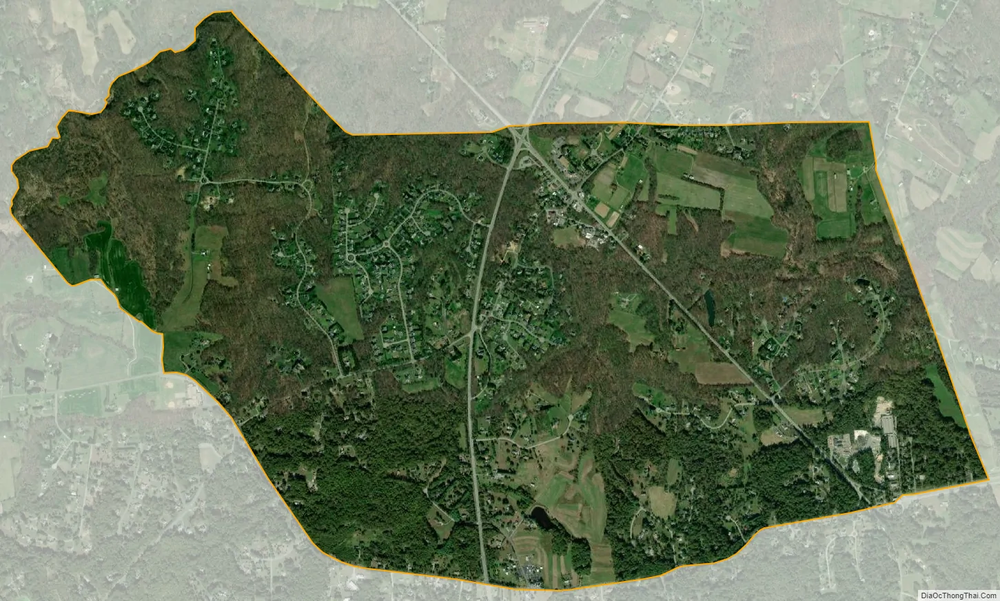
Owings city Satellite Map
Geography
Owings is located along the northern border of Calvert County at 38°42′43″N 76°36′14″W / 38.71194°N 76.60389°W / 38.71194; -76.60389 (38.711919, −76.603901). It is bordered to the north by Friendship in Anne Arundel County. Maryland Route 2 (Solomons Island Road) passes through the CDP west of the center of town, leading north 23 miles (37 km) to Annapolis and south 13 miles (21 km) to Prince Frederick, the Calvert County seat. Maryland Route 260 passes through the center of town and leads southeast 4 miles (6 km) to Chesapeake Beach and northwest 11 miles (18 km) to Upper Marlboro, via MD 4.
According to the United States Census Bureau, the Owings CDP has a total area of 3.9 square miles (10.2 km), of which 0.01 square miles (0.03 km), or 0.32%, is water.
The Owings area is considered exurban by the Washington Post. It includes a mix of farmland, single-family detached homes and subdivisions. Aerial maps show that about 50% of the Owings CDP is wooded with county regulations to keep it that way. The place center lies on the former Chesapeake Beach Railway line, which was converted to the roadway Maryland Route 260. Owings was a stop on the railway local service. Hall Creek originates in the Owings vicinity, forms part of the CDP’s northern border and winds west until it empties into the Patuxent River. The creek bed cuts a significant valley across the hilly central ridge of the Calvert County peninsula.
See also
Map of Maryland State and its subdivision: Map of other states:- Alabama
- Alaska
- Arizona
- Arkansas
- California
- Colorado
- Connecticut
- Delaware
- District of Columbia
- Florida
- Georgia
- Hawaii
- Idaho
- Illinois
- Indiana
- Iowa
- Kansas
- Kentucky
- Louisiana
- Maine
- Maryland
- Massachusetts
- Michigan
- Minnesota
- Mississippi
- Missouri
- Montana
- Nebraska
- Nevada
- New Hampshire
- New Jersey
- New Mexico
- New York
- North Carolina
- North Dakota
- Ohio
- Oklahoma
- Oregon
- Pennsylvania
- Rhode Island
- South Carolina
- South Dakota
- Tennessee
- Texas
- Utah
- Vermont
- Virginia
- Washington
- West Virginia
- Wisconsin
- Wyoming