Poolesville is a U.S. town in the western portion of Montgomery County, Maryland. The population was 5,742 at the 2020 United States Census. It is surrounded by (but is technically not part of) the Montgomery County Agricultural Reserve, and is considered a distant bedroom community for commuters to Washington, D.C.
The name of the town comes from the brothers John Poole, Sr. and Joseph Poole, Sr. who owned land and slaves in what is now Poolesville. Due to an historical anomaly, until 2010 the legal name of the town was “The Commissioners of Poolesville”. Residents overwhelmingly voted to formally change the name to “The Town of Poolesville” in the November 2010 general election.
| Name: | Poolesville town |
|---|---|
| LSAD Code: | 43 |
| LSAD Description: | town (suffix) |
| State: | Maryland |
| County: | Montgomery County |
| Incorporated: | 1867; 156 years ago (1867) |
| Elevation: | 413 ft (126 m) |
| Total Area: | 3.95 sq mi (10.23 km²) |
| Land Area: | 3.93 sq mi (10.18 km²) |
| Water Area: | 0.02 sq mi (0.05 km²) |
| Total Population: | 5,742 |
| Population Density: | 1,460.70/sq mi (564.00/km²) |
| ZIP code: | 20837 |
| Area code: | 301, 240 |
| FIPS code: | 2462850 |
| GNISfeature ID: | 0593418 |
| Website: | http://www.poolesvillemd.gov |
Online Interactive Map
Click on ![]() to view map in "full screen" mode.
to view map in "full screen" mode.
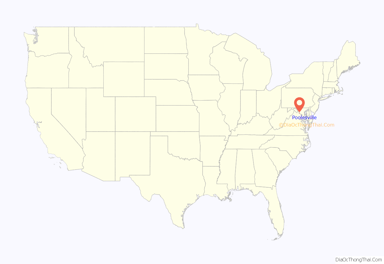
Poolesville location map. Where is Poolesville town?
History
In 1760, brothers John Poole, Sr. and Joseph Poole, Sr. purchased 160 acres (0.65 km; 0.25 sq mi) acres in the area that is now Poolesville. Thirty-three years later, John Poole, Jr. used a 15 acres (0.061 km) tract that he inherited from his father to build a log store and subdivided the tract, selling portions to a number of other merchants. The settlement grew from there and was incorporated in 1867.
During the Civil War, Union military leaders realized that the shallow fords of the Potomac River posed a threat to the capital city. At certain times of the year, the Potomac River is shallow enough to cross and thus thousands of troops were moved to both Darnestown and Poolesville. The Corps of Observation was established just outside Poolesville and soldiers were stationed near the river to monitor potential Confederate incursions into Maryland. During the winter of 1861–1862, it is estimated that 20,000 Union troops were stationed in or around the town. There were no battles fought in Poolesville; however, the infamous Battle of Ball’s Bluff was fought nearby on October 21, 1861. Hundreds of Union soldiers who were stationed in Poolesville were killed in this battle that was badly managed by inexperienced Union generals.
There were several Confederate raids into the town during the war, and the Confederate Army invaded Maryland by crossing the Potomac near Poolesville in 1862 and 1864. The old Poolesville Methodist Church cemetery contains the remains of approximately twenty soldiers who either were killed in action at Ball’s Bluff or who died of illness while in camp.
The Seneca Schoolhouse, a small one-room schoolhouse of red sandstone, was built in Poolesville in 1866 to educate the children of the stone cutters who worked at the Seneca Quarry. Operating as the Seneca Schoolhouse Museum, it provides tours to schoolchildren so that they can experience a typical school day as it would have been on March 13, 1880.
The Kunzang Palyul Choling Buddhist temple opened in Poolesville in 1985.
The Poolesville Historic District was listed in 1975 on the National Register of Historic Places.
In December 2020, White’s Ferry, a ferry service west of the town across the Potomac River that a number of citizens have depended on for their livelihoods, ceased service due to a legal conflict between the ferry and Rockland Farm over ownership of land on the banks of the river. As of 2023, the ferry remains closed and in legal limbo as furor simmers over the continued inability of the two parties to come to a negotiation.
Poolesville Road Map
Poolesville city Satellite Map
Geography
Poolesville is located at 39°8′26″N 77°24′30″W / 39.14056°N 77.40833°W / 39.14056; -77.40833 (39.140540, -77.408461).
According to the United States Census Bureau, the town has a total area of 3.95 square miles (10.23 km), of which 3.93 square miles (10.18 km) is land and 0.02 square miles (0.05 km) is water.
Poolesville lies off Montgomery County’s main axis of suburban development along the Interstate 270 and Maryland State Route 355 corridor, separated from the contiguous Maryland suburbs of Washington by the rural lands of the county agricultural reserve, where new housing and commercial starts are restricted.
See also
Map of Maryland State and its subdivision: Map of other states:- Alabama
- Alaska
- Arizona
- Arkansas
- California
- Colorado
- Connecticut
- Delaware
- District of Columbia
- Florida
- Georgia
- Hawaii
- Idaho
- Illinois
- Indiana
- Iowa
- Kansas
- Kentucky
- Louisiana
- Maine
- Maryland
- Massachusetts
- Michigan
- Minnesota
- Mississippi
- Missouri
- Montana
- Nebraska
- Nevada
- New Hampshire
- New Jersey
- New Mexico
- New York
- North Carolina
- North Dakota
- Ohio
- Oklahoma
- Oregon
- Pennsylvania
- Rhode Island
- South Carolina
- South Dakota
- Tennessee
- Texas
- Utah
- Vermont
- Virginia
- Washington
- West Virginia
- Wisconsin
- Wyoming
