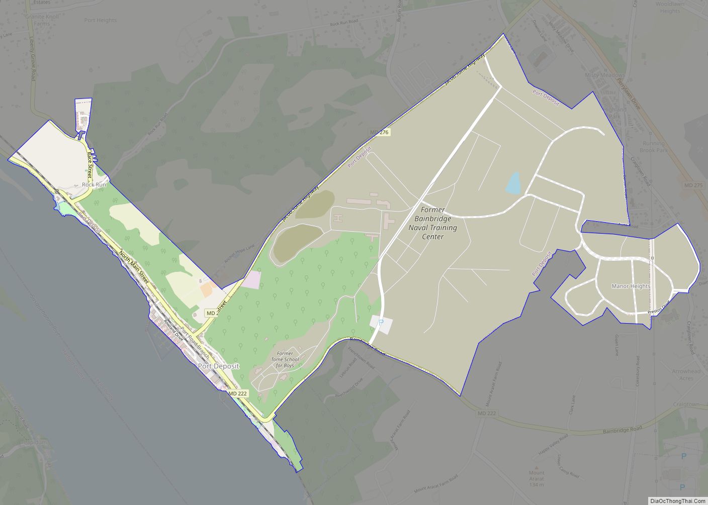
Port Deposit is a town in Cecil County, Maryland, United States. It is located on the east bank of the Susquehanna River near its discharge into the Chesapeake Bay. The population was 653 at the 2010 census.
| Name: | Port Deposit town |
|---|---|
| LSAD Code: | 43 |
| LSAD Description: | town (suffix) |
| State: | Maryland |
| County: | Cecil County |
| Incorporated: | 1824 |
| Elevation: | 49 ft (15 m) |
| Total Area: | 2.27 sq mi (5.87 km²) |
| Land Area: | 2.26 sq mi (5.86 km²) |
| Water Area: | 0.01 sq mi (0.01 km²) |
| Total Population: | 614 |
| Population Density: | 271.44/sq mi (104.79/km²) |
| ZIP code: | 21904 |
| Area code: | 410 |
| FIPS code: | 2463075 |
| GNISfeature ID: | 0591049 |
| Website: | http://www.portdeposit.org/ |
Online Interactive Map
Click on ![]() to view map in "full screen" mode.
to view map in "full screen" mode.
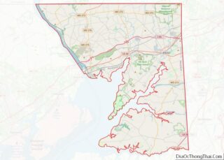
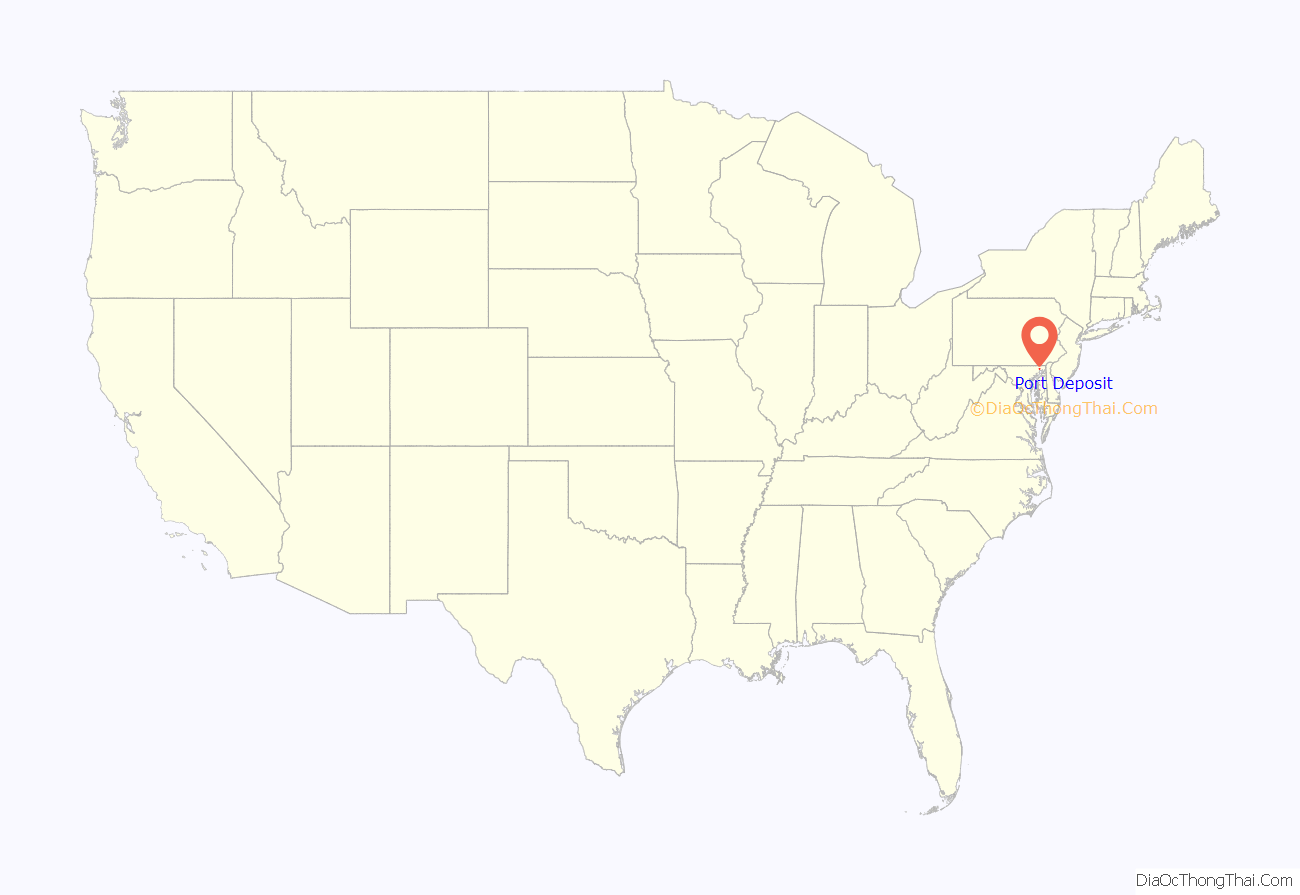
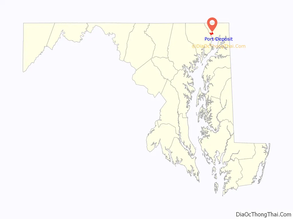
Port Deposit location map. Where is Port Deposit town?
History
Early history
The first recorded European visits to the area were the 1608 and 1609 expeditions led by Captain John Smith up the Chesapeake Bay. He sailed about 2 miles (3.2 km) up the Susquehanna River to the present location of Port Deposit, and gave the name of “Smythe Fayles” to the rapids just above the future town.
The upper ferry
In 1729, Thomas Cresap established a regular ferry service near Smith’s Falls (in the upper Port Deposit area) crossing the Susquehanna to Lapidum; this was referred to as Smith’s Ferry or Upper Ferry. In 1731, a road from Susquehanna Upper Ferry toward Philadelphia, as far as the jurisdiction extends, was authorized. In the same year, in the jurisdiction south of the river, a petition was submitted for a road from the mill at ‘Rock Run’ to Peach Bottom, Pennsylvania. This upper ferry was later purchased by Colonel John Creswell and came to be known as ‘Creswell’s Ferry’.
This location, and Lapidum across the river, were the northernmost navigable deepwater ports on the Susquehanna. River barges and wagons loaded with lumber, grain, coal, whiskey, tobacco, and other goods floated downriver to this “port of deposit”, where cargo could be transferred to ships from the Chesapeake. In the early days, it was difficult to float goods downriver, since there were many rapids and hazards, but it remained the most convenient way for goods to leave much of the country drained by the Susquehanna above the falls. Further, since a number of roads converged at the ferry crossing, goods could be carted or “rolled.”
As early as the 1790s, the forests on the Susquehanna were being logged and the timbers floated downriver to points near the ferry landing. In 1812, the town was platted as Creswell’s Landing; months later, Governor Levin Winder signed a bill officially naming the town Port Deposite (it would lose the trailing “e” at some point in the future).
The canal
The Susquehanna Canal (which had several owners and names over the years, including the Maryland Canal) was completed in 1812 and contributed much toward the town’s growth. Until the canal was placed in service bypassing Smith’s Falls, most of the traffic stopped at Lapidum, across the Susquehanna River since it was easier to run the rapids on the south side. However, the new canal — the Susquehanna and Tidewater Canal on the north side of the river — funneled the barge traffic into Port Deposit, stimulating rapid growth.
Granite and bridges
The first attempts to bridge the Susquehanna in Maryland were made by the Port Deposit Bridge Company, incorporated in 1808. Its attempts failed, so the Legislature in 1812 authorized another company to proceed. After completing a survey in 1813, which included the first written reference to Port Deposit, the company proposed a location that complied with the law but was longer than necessary. After petitioning for relief, the company was allowed to route the bridge closer to the falls, allowing it to be 1,000 feet (300 m) shorter. The Port Deposit Bridge, a wooden covered bridge, was built just north of Port Deposit during 1817 and 1818. Put into service in 1818, it was the earliest bridge crossing of the Susquehanna. Rebuilt after a span burned in 1823, it remained in service until 1857.
A 4 acres (16,000 m) site at the north end of Port Deposit was committed to quarrying “granite.” (actually gneiss) for bridges. The general area had been the site for granite quarrying before the bridge was constructed as there was use of this specific granite in buildings constructed before the Revolutionary War. This granite can be seen in many of the distinctive buildings in Port Deposit today.
Quarries were also opened here in 1829 by the proprietors of a competitor canal, the Susquehanna and Tidewater Canal, between Havre de Grace and Wrightsville, Pennsylvania, for canal construction projects routed along the opposite bank of the Susquehanna.
These quarries continued in service well into the 20th century. Port Deposit gneiss was used in:
- Many houses and five churches in Port Deposit
- Schools such as the U.S. Naval Academy, Haverford College and The Catholic University of America
- Fort McHenry, Fort Delaware and Fort Carroll
- Public buildings like the Boston Public Library and the U.S. Treasury Building
- Public works such as the Concord Point Lighthouse, Lincoln Tunnel and the St Augustine seawall
Incorporation
Port Deposit was incorporated in 1824.
Arrival of the railroad
In 1832, the governments of Maryland, Delaware, and Pennsylvania chartered a quartet of railroads to connect Baltimore and Philadelphia. The Maryland General Assembly chartered two railroads terminating at Port Deposit: the Baltimore and Port Deposite Rail Road Company to build a line from the Susquehanna’s western bank to Baltimore; and the Delaware and Maryland Rail Road Company to build from the river’s eastern bank to the Delaware state line. That same year, Delaware chartered the Wilmington and Susquehanna Rail Road Company to continue the line to Wilmington. In 1836, the D&M merged with the W&S to form the Wilmington and Susquehanna Railroad Company. On February 12, 1838, all three companies merged to form the Philadelphia, Wilmington and Baltimore Railroad Company, forging a continuous line from Philadelphia to Baltimore. The main line passed southeast of Port Deposit; the town was connected by a branch line in 1866, running along the riverbank from Perryville. In 1881, the PW&B came under the control of the Pennsylvania Railroad (PRR). In 1893 the branch line was sold to the Columbia and Port Deposit Railway, also PRR-controlled.
Jacob Tome
Jacob Tome arrived in Port Deposit penniless; became a banker, philanthropist, and politician; and died one of the richest men in the United States. He was to become Cecil County’s first millionaire and its greatest philanthropist. The Tome mansion (built in 1850 but no longer standing) was the largest house in the town. In 1889, Tome founded the Jacob Tome School for Boys on Main Street, part of a system of schools called the Jacob Tome Institute. When he died on March 16, 1898, in Port Deposit, he left a substantial endowment for the institute, which the Tome School tapped to build a series of beaux arts granite buildings on the bluffs above Port Deposit, overlooking the Susquehanna River.
The CP-TOME interlocking on the railroad line through downtown Port Deposit is named in his honor.
Damming the Susquehanna
The Susquehanna River drops 167 feet (51 m) as it passes through the region above Port Deposit, as it cuts through the hard rock of the region. This characteristic, which had long been good for Port Deposit, also attracted power companies in the boom period after World War I. The Conowingo Dam, built in 1927, permanently changed the character of the town by terminating all river traffic and decimating what was left of the shad and herring fishery which was once found there. Port Deposit benefited from the dam as well; destructive accumulations of ice (referred to as ice gouges) no longer accumulated in the Conowingo Rapids or passed through Port Deposit, as it had to terrible effect in 1907.
Other industry
Formerly a major industry in Port Deposit, Wiley’s Manufacturing, fabricated the Fort McHenry Tunnel sections. They were floated and towed to the Baltimore construction site using tugboats. Construction was completed in 1985.
The immersed tubes of the 63rd Street Tunnel were fabricated at a shipyard in Port Deposit and then towed to New York City.
National Register of Historic Places listing
The entire town of Port Deposit was listed as a historic district on the National Register of Historic Places on May 23, 1978. Starting from Bainbridge Road on the south, the district extends about 1.4 miles north along US 222 to the quarry at the north end of town.
The town has several impressive older buildings, many built of the local granite or brick. The oldest structures in the historic district date from 1725, with the majority built from 1830 through the 1890s.
The town remained largely unspoiled by new construction until the late 20th century, since there was little room for construction. The bulk of the older buildings line the main street and the, until recently, single side street built in the narrow space between the bluffs and the river. The bluffs have been terraced and stairways lead between streets. Adams Hall, formerly part of the Tome Institute, became the Town Hall; the only remains of the Tome Institute’s former Washington Hall is the granite doorway that separates the Main Street from a parking lot today.
Police Department
During the second half of the twentieth century, Port Deposit maintained a small police department, mostly made up of parttime officers. Around 1966, the town council promoted Horace Boddy, one of the parttime patrolman, to chief of police. He had joined the force in the early 1960s, and with the command appointment he became the first African American police chief in Cecil County. In 1980, Chief Boddy stepped down from the commanding role. His next senior officer, Bill Waibel, became the chief as Boddy stayed on the force as a patrolman. He retired fully in 1983.
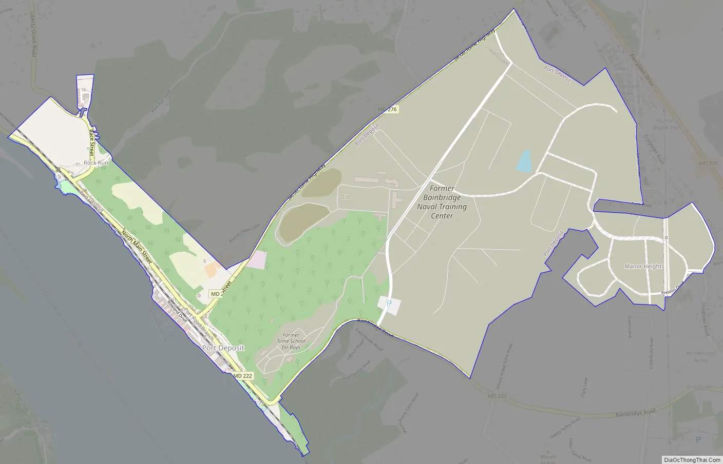
Port Deposit Road Map
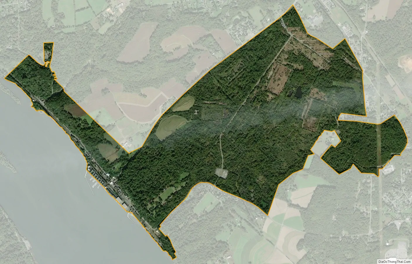
Port Deposit city Satellite Map
Geography
Port Deposit is located at 39°36′39″N 76°6′1″W / 39.61083°N 76.10028°W / 39.61083; -76.10028 (39.610915, -76.100172).
According to the United States Census Bureau, the town has a total area of 2.28 square miles (5.91 km), of which 2.27 square miles (5.88 km) is land and 0.01 square miles (0.03 km) is water.
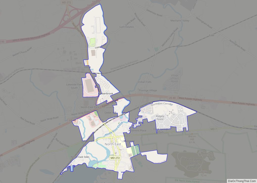
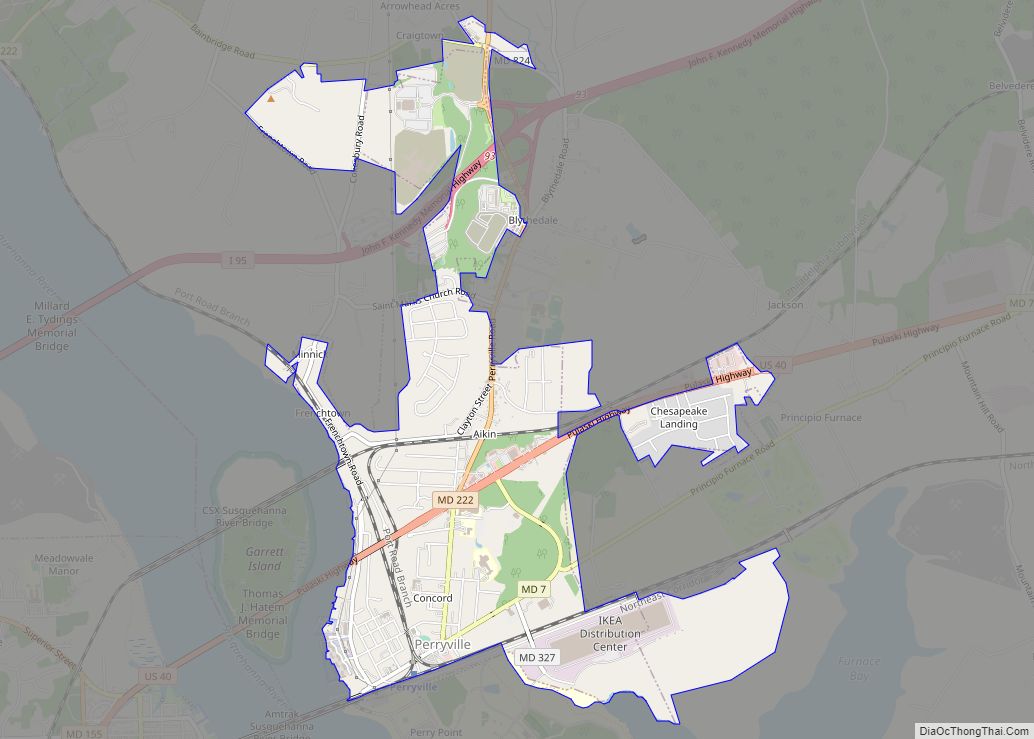
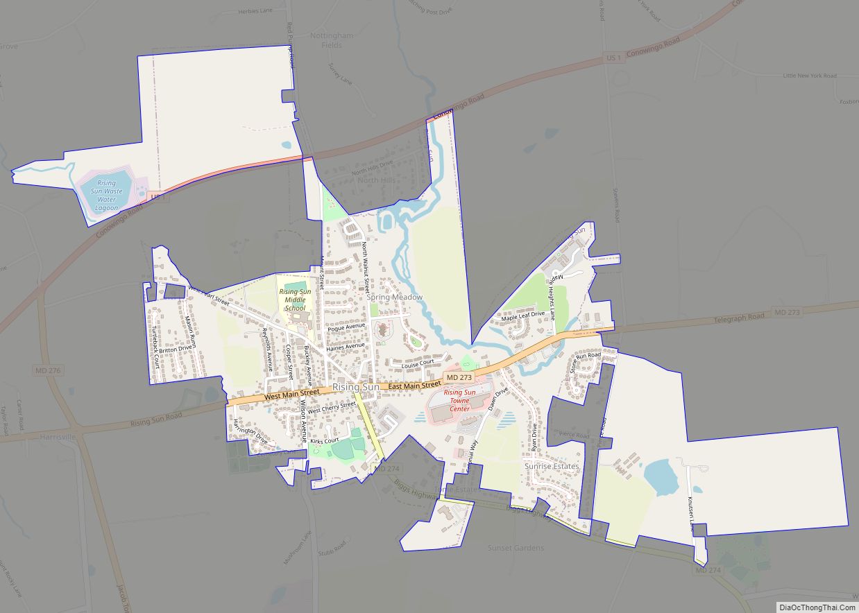
It is the westernmost incorporated municipality in Cecil County, as well as in the Philadelphia-Camden-Wilmington, PA-NJ-DE-MD Metropolitan Statistical Area, better known as the Delaware Valley.
See also
Map of Maryland State and its subdivision: Map of other states:- Alabama
- Alaska
- Arizona
- Arkansas
- California
- Colorado
- Connecticut
- Delaware
- District of Columbia
- Florida
- Georgia
- Hawaii
- Idaho
- Illinois
- Indiana
- Iowa
- Kansas
- Kentucky
- Louisiana
- Maine
- Maryland
- Massachusetts
- Michigan
- Minnesota
- Mississippi
- Missouri
- Montana
- Nebraska
- Nevada
- New Hampshire
- New Jersey
- New Mexico
- New York
- North Carolina
- North Dakota
- Ohio
- Oklahoma
- Oregon
- Pennsylvania
- Rhode Island
- South Carolina
- South Dakota
- Tennessee
- Texas
- Utah
- Vermont
- Virginia
- Washington
- West Virginia
- Wisconsin
- Wyoming