Wrightsville is a borough in York County, Pennsylvania, United States. The population was 2,257 at the 2020 census. Wrightsville borough has a police department, historic society and a volunteer fire company.
| Name: | Wrightsville borough |
|---|---|
| LSAD Code: | 21 |
| LSAD Description: | borough (suffix) |
| State: | Pennsylvania |
| County: | York County |
| Incorporated: | 1834 |
| Elevation: | 390 ft (120 m) |
| Total Area: | 0.66 sq mi (1.70 km²) |
| Land Area: | 0.66 sq mi (1.70 km²) |
| Water Area: | 0.00 sq mi (0.00 km²) |
| Total Population: | 2,257 |
| Population Density: | 3,505.34/sq mi (1,352.54/km²) |
| Area code: | 717 |
| FIPS code: | 4286640 |
| Website: | www.wrightsvilleborough.com |
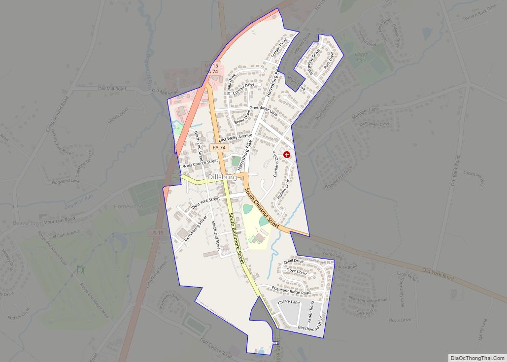
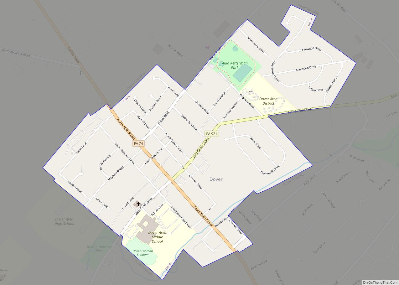
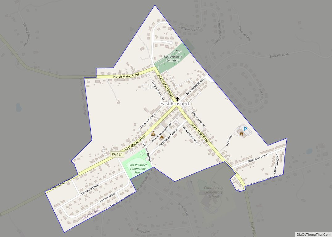
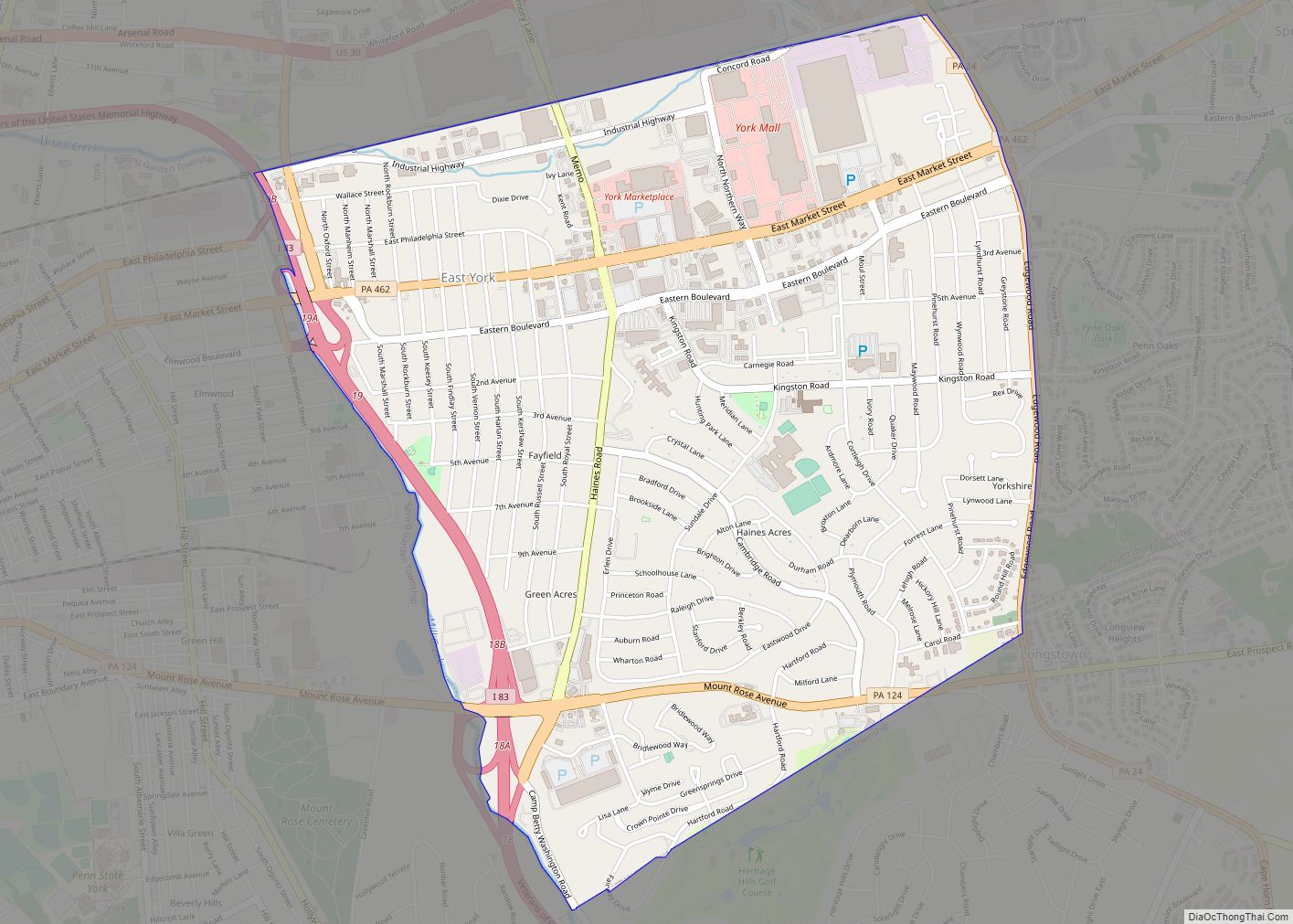
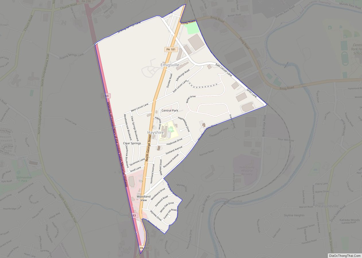
Online Interactive Map
Click on ![]() to view map in "full screen" mode.
to view map in "full screen" mode.
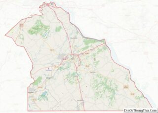
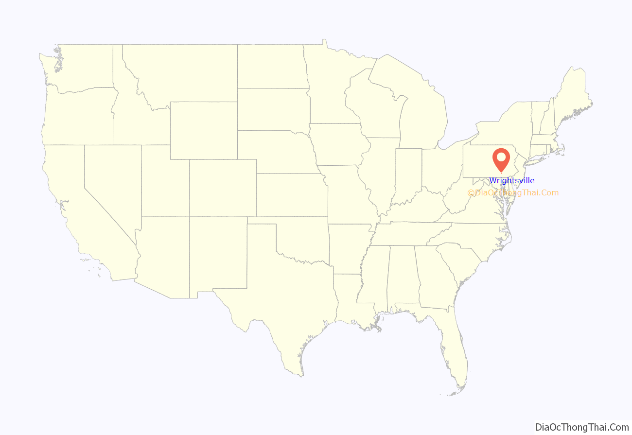
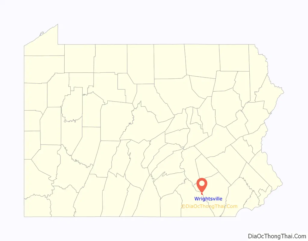
Wrightsville location map. Where is Wrightsville borough?
History
According to a plaque at Samuel S. Lewis State Park, which overlooks Wrightsville and the Susquehanna River, Wrightsville was among George Washington’s choices as the location of the capital of the United States.
The world’s longest covered bridge, at 5,600 feet (1,700 m), once spanned the Susquehanna from Wrightsville to neighboring Columbia in Lancaster County. Built in 1814, it was destroyed by high water and ice in 1832. A replacement bridge was burned the night of June 28, 1863, by state militia during the Gettysburg Campaign in the American Civil War. Confederate troops under John Brown Gordon formed a bucket brigade to save the town from fire. Yet another replacement covered bridge was destroyed by a windstorm a few years later.
The final bridge, the Pennsylvania Railroad Bridge, was a steel open-air bridge constructed in 1896. It was razed in the early 1960s because of obsolescence and restructuring of the railroad industry. The site of the former bridge is now home of a concrete bridge known as Wright’s Ferry Bridge, and inhabited by various wildlife including capybaras and beavers. The bridge standing today is approximately 100 yards north of the original bridge location
Wrightsville was the northern terminus of the Susquehanna and Tidewater Canal, which extended to Havre de Grace, Maryland.
In 2007, Wrightsville was the chosen location for the rekindling of the War of the Roses between the York Revolution and the Lancaster Barnstormers baseball teams. Wrightsville was chosen for its location on the Susquehanna River, the boundary between York and Lancaster counties.
The Columbia-Wrightsville Bridge and Wrightsville Historic District are listed on the National Register of Historic Places.
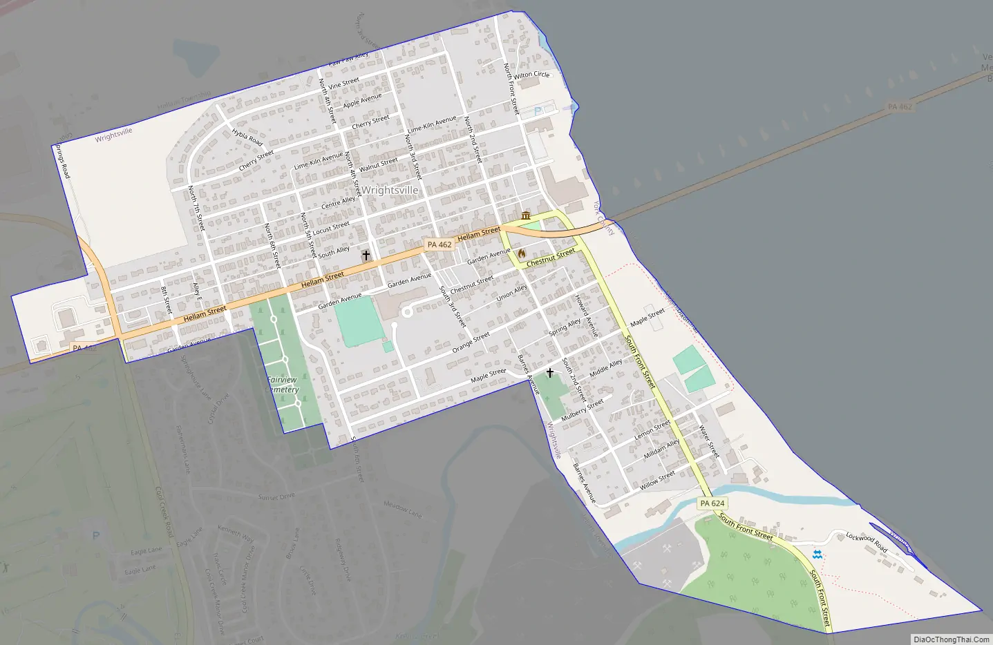
Wrightsville Road Map
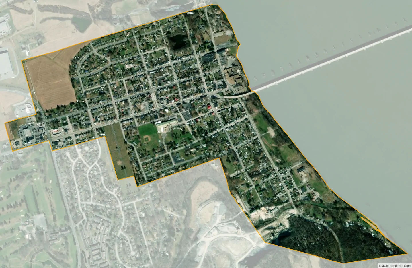
Wrightsville city Satellite Map
Geography
Wrightsville is located at 40°1′28″N 76°31′52″W / 40.02444°N 76.53111°W / 40.02444; -76.53111 (40.024481, -76.531221).
According to the United States Census Bureau, the borough has a total area of 0.6 square miles (1.6 km), all land.
See also
Map of Pennsylvania State and its subdivision:- Adams
- Allegheny
- Armstrong
- Beaver
- Bedford
- Berks
- Blair
- Bradford
- Bucks
- Butler
- Cambria
- Cameron
- Carbon
- Centre
- Chester
- Clarion
- Clearfield
- Clinton
- Columbia
- Crawford
- Cumberland
- Dauphin
- Delaware
- Elk
- Erie
- Fayette
- Forest
- Franklin
- Fulton
- Greene
- Huntingdon
- Indiana
- Jefferson
- Juniata
- Lackawanna
- Lancaster
- Lawrence
- Lebanon
- Lehigh
- Luzerne
- Lycoming
- Mc Kean
- Mercer
- Mifflin
- Monroe
- Montgomery
- Montour
- Northampton
- Northumberland
- Perry
- Philadelphia
- Pike
- Potter
- Schuylkill
- Snyder
- Somerset
- Sullivan
- Susquehanna
- Tioga
- Union
- Venango
- Warren
- Washington
- Wayne
- Westmoreland
- Wyoming
- York
- Alabama
- Alaska
- Arizona
- Arkansas
- California
- Colorado
- Connecticut
- Delaware
- District of Columbia
- Florida
- Georgia
- Hawaii
- Idaho
- Illinois
- Indiana
- Iowa
- Kansas
- Kentucky
- Louisiana
- Maine
- Maryland
- Massachusetts
- Michigan
- Minnesota
- Mississippi
- Missouri
- Montana
- Nebraska
- Nevada
- New Hampshire
- New Jersey
- New Mexico
- New York
- North Carolina
- North Dakota
- Ohio
- Oklahoma
- Oregon
- Pennsylvania
- Rhode Island
- South Carolina
- South Dakota
- Tennessee
- Texas
- Utah
- Vermont
- Virginia
- Washington
- West Virginia
- Wisconsin
- Wyoming