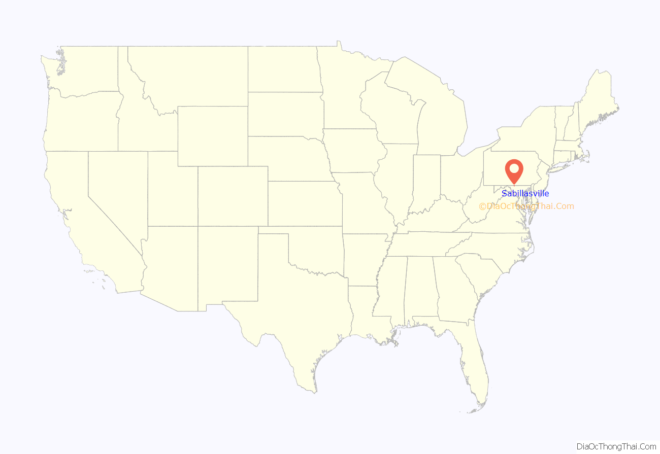
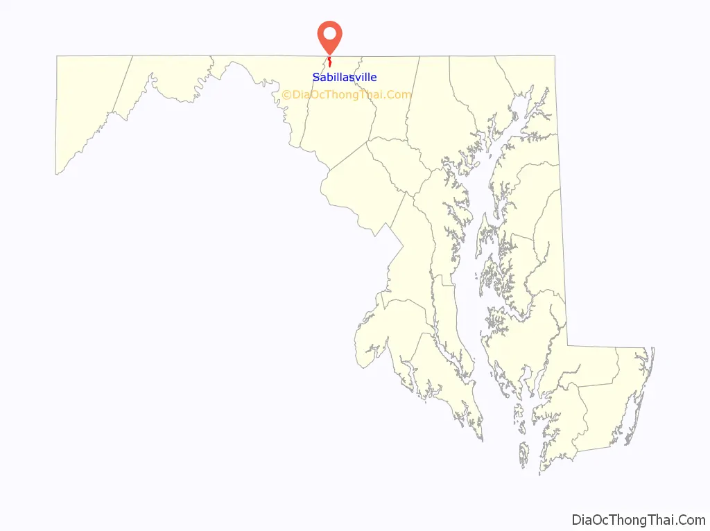
Sabillasville is an unincorporated community and census-designated place in Frederick County, Maryland, United States. As of the 2010 census it had a population of 354.
The Victor Cullen School Power House was listed on the National Register of Historic Places in 1987 and the Victor Cullen Center, Old Administration Building was listed in 1990.
| Name: | Sabillasville CDP |
|---|---|
| LSAD Code: | 57 |
| LSAD Description: | CDP (suffix) |
| State: | Maryland |
| County: | Frederick County |
| Elevation: | 1,108 ft (338 m) |
| Total Area: | 1.67 sq mi (4.33 km²) |
| Land Area: | 1.67 sq mi (4.33 km²) |
| Water Area: | 0.00 sq mi (0.00 km²) |
| Total Population: | 470 |
| Population Density: | 280.93/sq mi (108.49/km²) |
| ZIP code: | 21780 |
| Area code: | 301, 240 |
| FIPS code: | 2469200 |
| GNISfeature ID: | 0591206 |
Online Interactive Map
Click on ![]() to view map in "full screen" mode.
to view map in "full screen" mode.
Sabillasville location map. Where is Sabillasville CDP?
History
The first European settlers to arrive in the vicinity of Sabillasville were Swiss immigrants in the late-1750s. Among the earliest settlers was Peter Zollinger (or Zullinger), who owned the land on which the present-day village is located. In 1813, the village was laid out by Andrew Smith and named Sabillasville in honor of Savilla Zollinger (wife of Peter). In 1872, the Western Maryland Railroad reached Sabillasville on its line leading from Baltimore to Hagerstown and the surrounding area soon developed into a summer resort called Pen Mar (a portmanteau of Pennsylvania and Maryland).
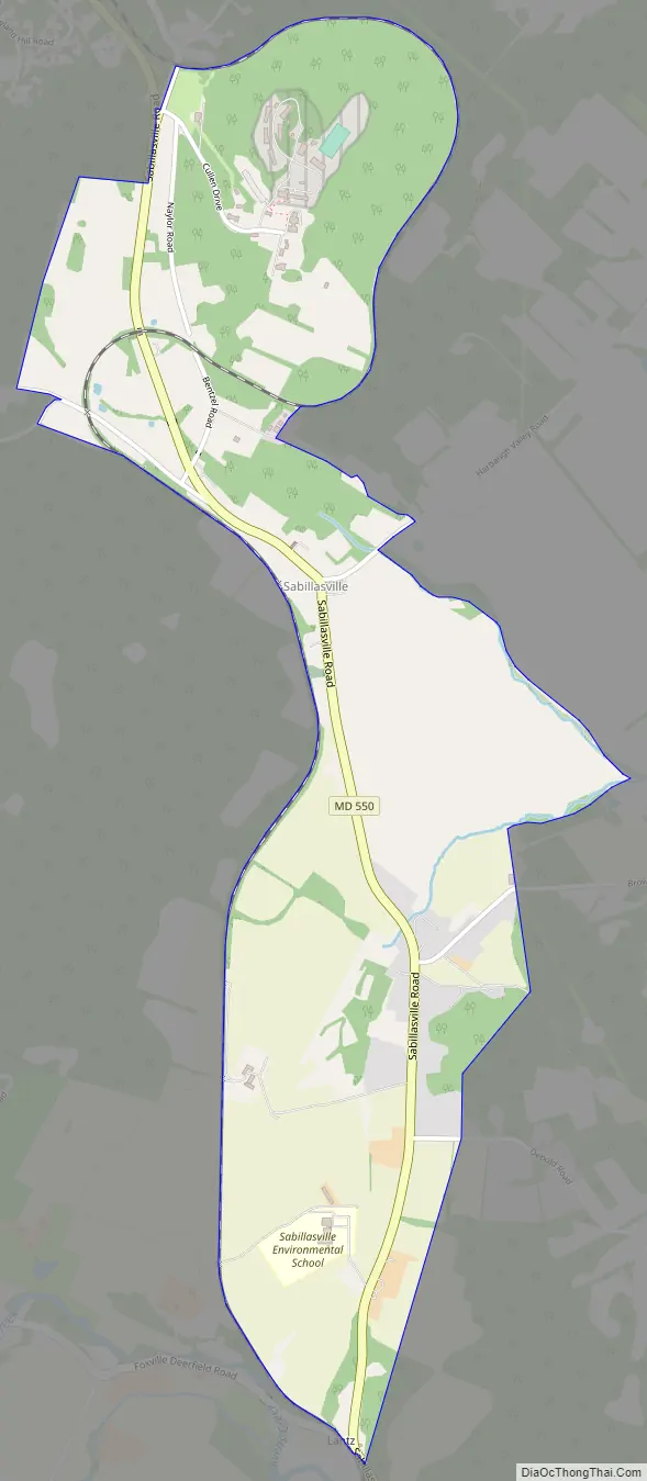
Sabillasville Road Map
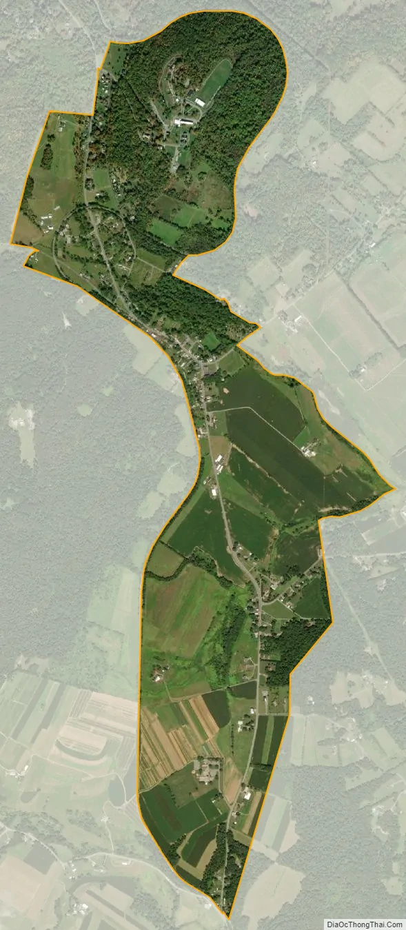
Sabillasville city Satellite Map
Geography
The town is located in the northwest corner of Frederick County at an elevation of 1,100 feet (340 m) above sea level, in the Harbaugh Valley, between South Mountain to the northwest and Wertenbaker Hill to the southeast. Route 550 passes through the town, leading northwest 2 miles (3 km) to Blue Ridge Summit, Pennsylvania, and southeast 7 miles (11 km) to Thurmont.
According to the U.S. Census Bureau, the Sabillasville CDP has an area of 1.5 square miles (3.9 km), all land.
See also
Map of Maryland State and its subdivision: Map of other states:- Alabama
- Alaska
- Arizona
- Arkansas
- California
- Colorado
- Connecticut
- Delaware
- District of Columbia
- Florida
- Georgia
- Hawaii
- Idaho
- Illinois
- Indiana
- Iowa
- Kansas
- Kentucky
- Louisiana
- Maine
- Maryland
- Massachusetts
- Michigan
- Minnesota
- Mississippi
- Missouri
- Montana
- Nebraska
- Nevada
- New Hampshire
- New Jersey
- New Mexico
- New York
- North Carolina
- North Dakota
- Ohio
- Oklahoma
- Oregon
- Pennsylvania
- Rhode Island
- South Carolina
- South Dakota
- Tennessee
- Texas
- Utah
- Vermont
- Virginia
- Washington
- West Virginia
- Wisconsin
- Wyoming


