Shady Side is a census-designated place (CDP) in Anne Arundel County, Maryland, United States. The population was 5,803 at the 2010 census.
| Name: | Shady Side CDP |
|---|---|
| LSAD Code: | 57 |
| LSAD Description: | CDP (suffix) |
| State: | Maryland |
| County: | Anne Arundel County |
| Elevation: | 9 ft (3 m) |
| Total Area: | 7.86 sq mi (20.35 km²) |
| Land Area: | 6.65 sq mi (17.22 km²) |
| Water Area: | 1.21 sq mi (3.13 km²) |
| Total Population: | 5,806 |
| Population Density: | 873.08/sq mi (337.08/km²) |
| ZIP code: | 20764 |
| Area code: | 410 |
| FIPS code: | 2471450 |
| GNISfeature ID: | 0591259 |
Online Interactive Map
Click on ![]() to view map in "full screen" mode.
to view map in "full screen" mode.
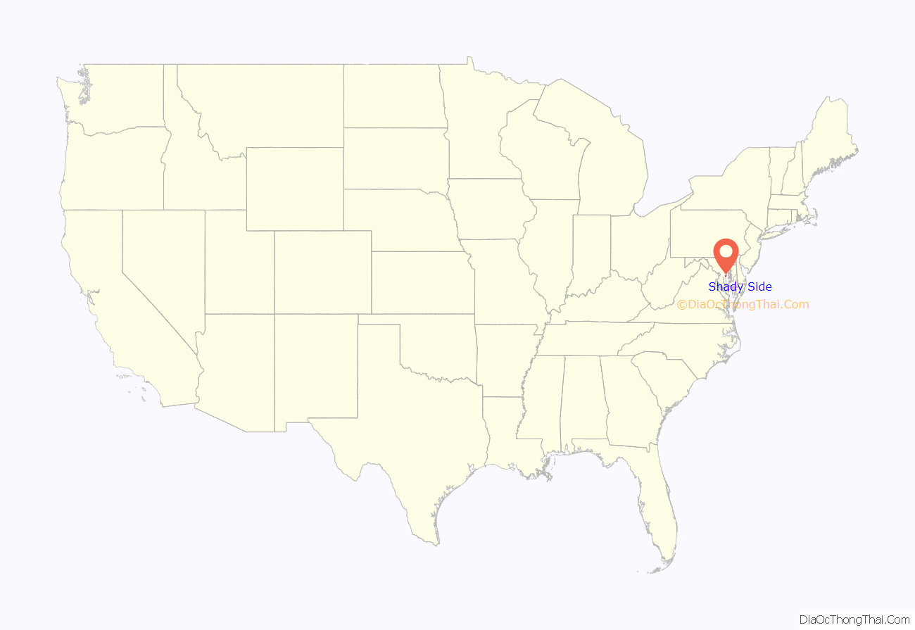
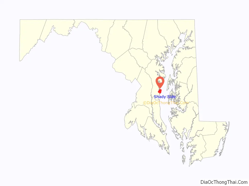
Shady Side location map. Where is Shady Side CDP?
History
In the 1790s the area was known as the Great Swamp.
Among the historic structures in Shady Side is the Capt. Salem Avery House. It was listed on the National Register of Historic Places in 2005. The Lula G. Scott Community Center was listed in 2009.
Shady Side was once served by the sidewheel passenger steamer, Emma Giles, that operated from Baltimore, making up to five trips per week.
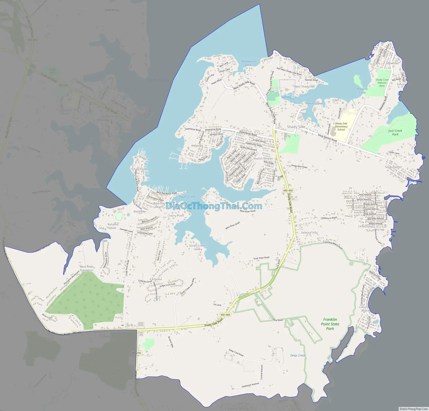
Shady Side Road Map
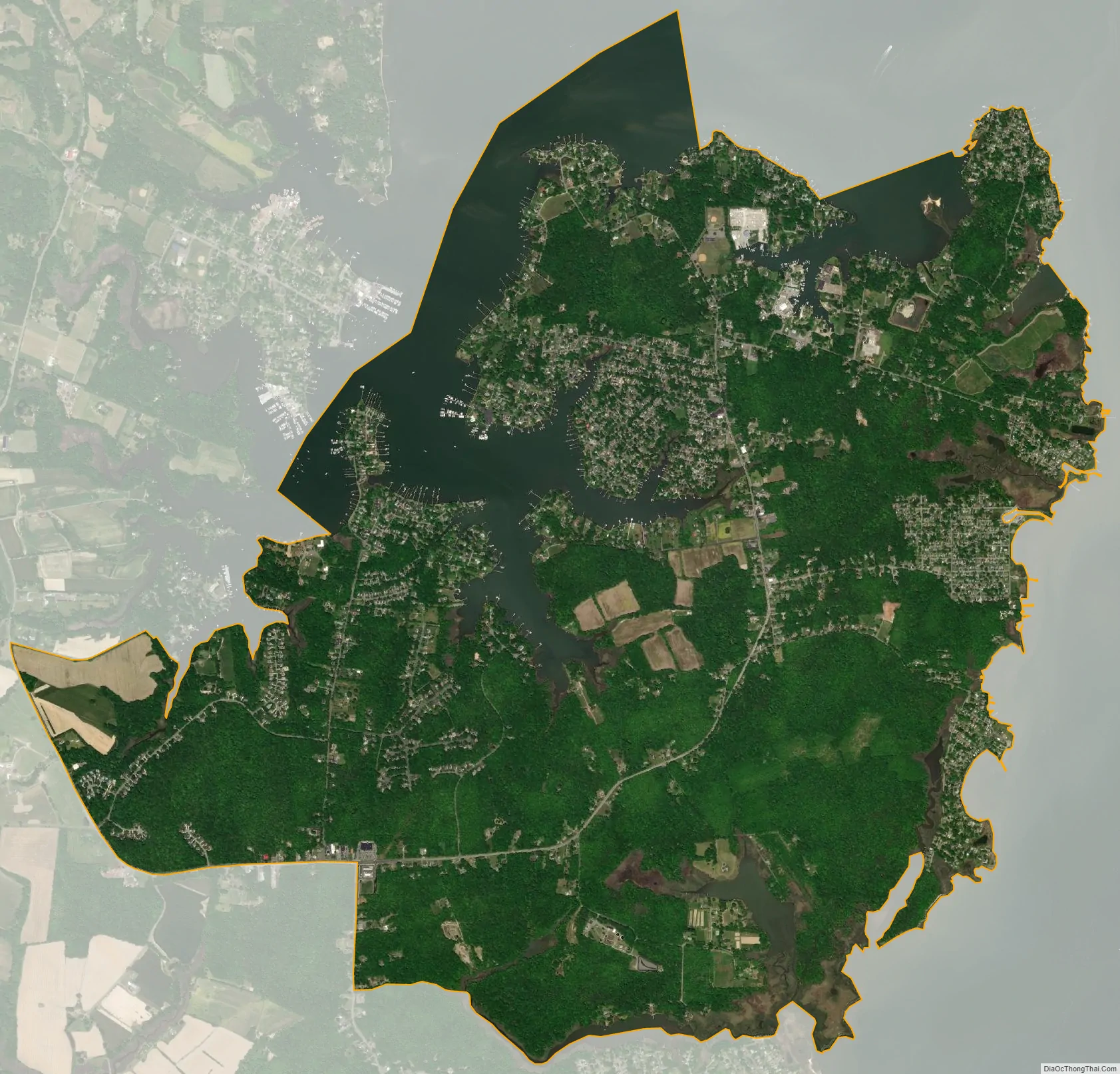
Shady Side city Satellite Map
Geography
Shady Side is located at 38°50′6″N 76°31′2″W / 38.83500°N 76.51722°W / 38.83500; -76.51722 (38.834965, −76.517326) in southern Anne Arundel County, on the western shore of Chesapeake Bay. It is bordered to the north and west by the West River, a wide tidal inlet of the bay. To the south is the CDP of Deale, and to the west, across the West River, is Galesville. The community is served by Maryland Route 468 (Shady Side Road), which runs south, then west, then north, toward the Annapolis area. The center of Annapolis is 20 miles (32 km) north by road and 14 miles (23 km) north by water.
According to the United States Census Bureau, the CDP has a total area of 8.0 square miles (20.7 km), of which 6.8 square miles (17.5 km) is land and 1.2 square miles (3.2 km), or 15.57%, is water.
See also
Map of Maryland State and its subdivision: Map of other states:- Alabama
- Alaska
- Arizona
- Arkansas
- California
- Colorado
- Connecticut
- Delaware
- District of Columbia
- Florida
- Georgia
- Hawaii
- Idaho
- Illinois
- Indiana
- Iowa
- Kansas
- Kentucky
- Louisiana
- Maine
- Maryland
- Massachusetts
- Michigan
- Minnesota
- Mississippi
- Missouri
- Montana
- Nebraska
- Nevada
- New Hampshire
- New Jersey
- New Mexico
- New York
- North Carolina
- North Dakota
- Ohio
- Oklahoma
- Oregon
- Pennsylvania
- Rhode Island
- South Carolina
- South Dakota
- Tennessee
- Texas
- Utah
- Vermont
- Virginia
- Washington
- West Virginia
- Wisconsin
- Wyoming


