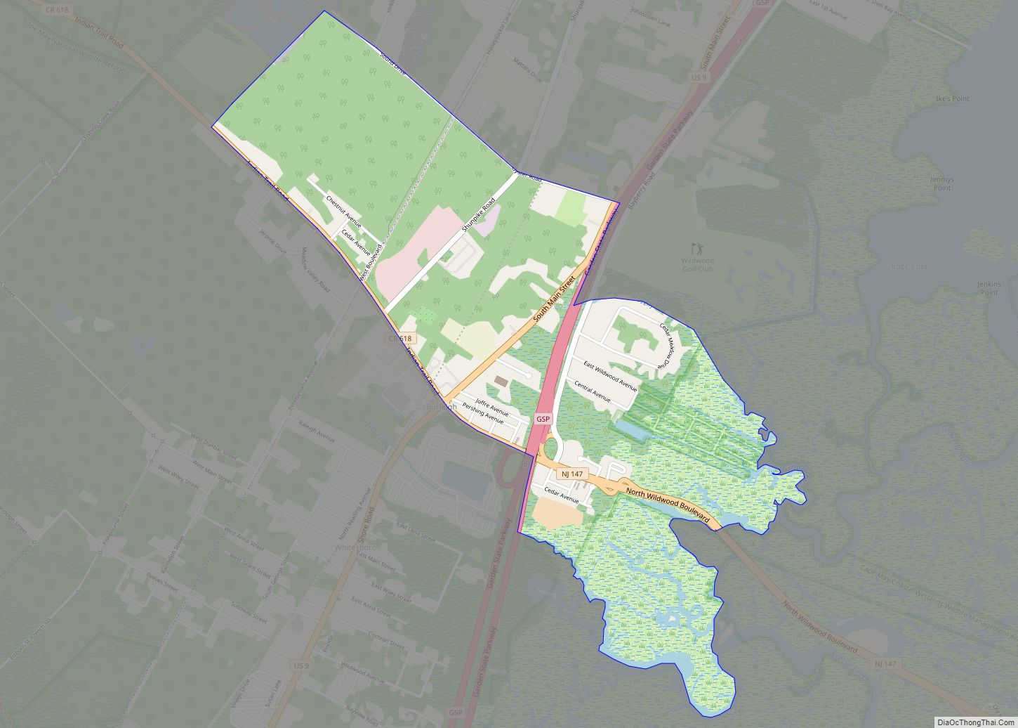
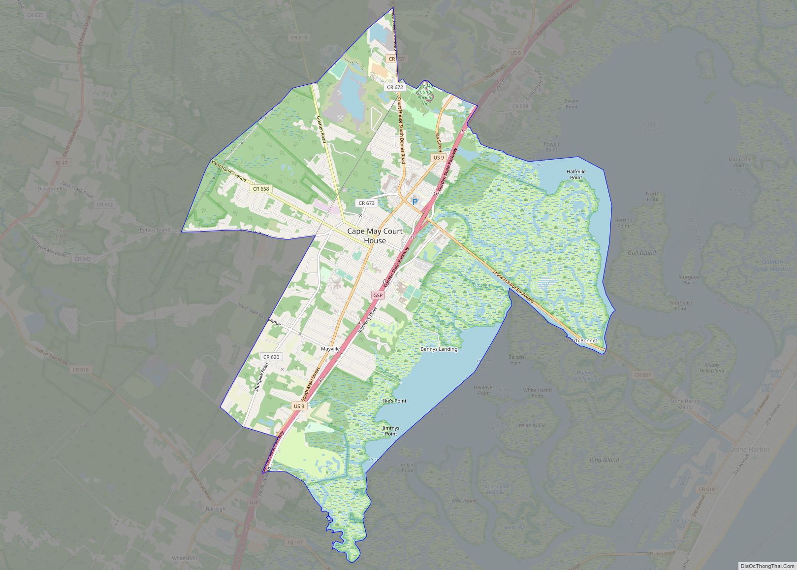
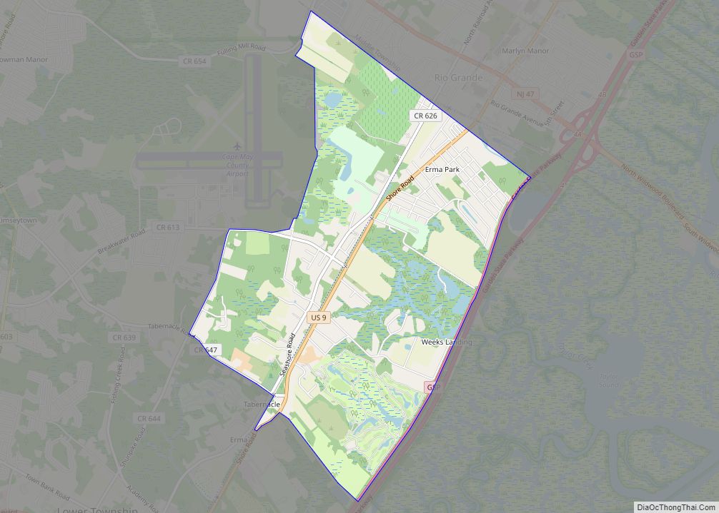
Burleigh is an unincorporated community and census-designated place (CDP) located within Middle Township in Cape May County, New Jersey, United States; Until the 2000 Census the area had been part of the Whitesboro-Burleigh CDP, which was split in 2010 into separate CDPs for Burleigh and Whitesboro. As of the 2010 United States Census, the CDP’s population was 725.
| Name: | Burleigh CDP |
|---|---|
| LSAD Code: | 57 |
| LSAD Description: | CDP (suffix) |
| State: | New Jersey |
| County: | Cape May County |
| Elevation: | 10 ft (3 m) |
| Total Area: | 1.55 sq mi (4.03 km²) |
| Land Area: | 1.52 sq mi (3.94 km²) |
| Water Area: | 0.03 sq mi (0.08 km²) 2.07% |
| Total Population: | 766 |
| Population Density: | 502.95/sq mi (194.20/km²) |
| ZIP code: | 08210 – Cape May |
| Area code: | 609 |
| FIPS code: | 3408890 |
| GNISfeature ID: | 02583977 |
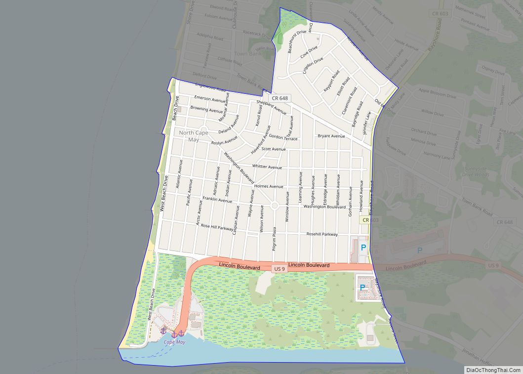
Online Interactive Map
Click on ![]() to view map in "full screen" mode.
to view map in "full screen" mode.
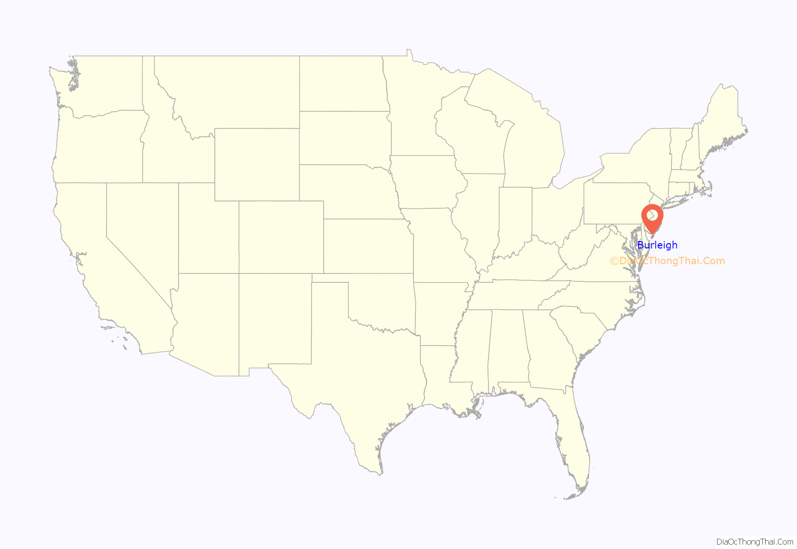
Burleigh location map. Where is Burleigh CDP?
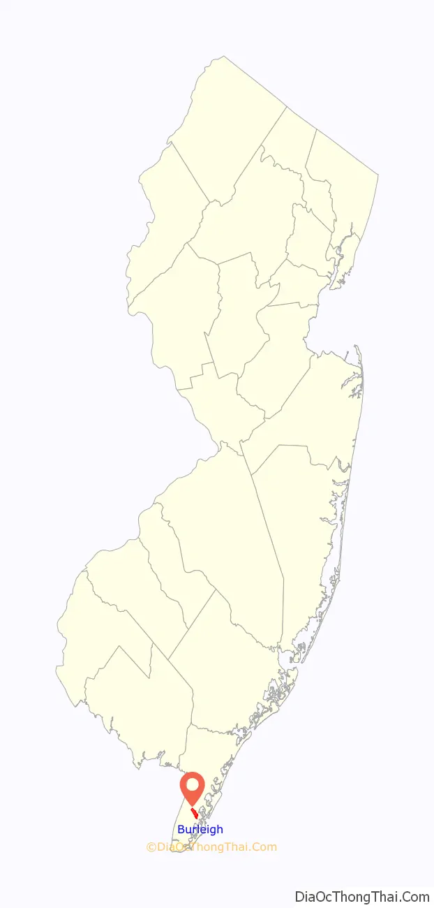
Burleigh Road Map
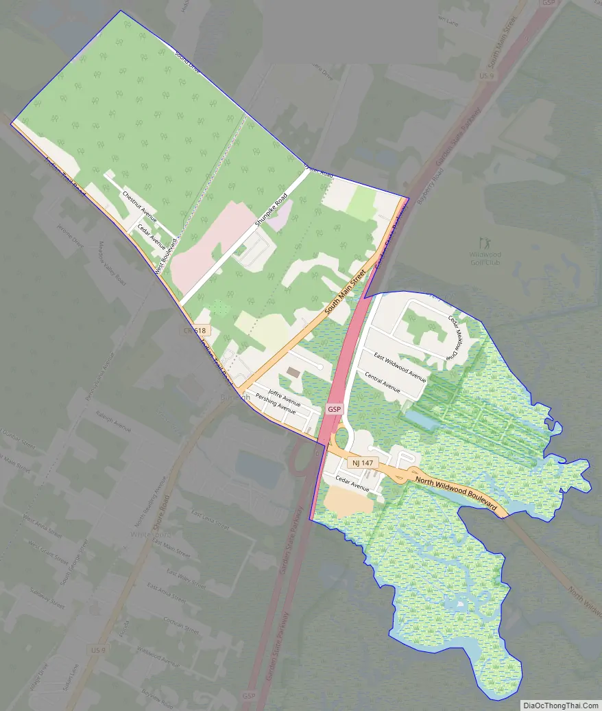
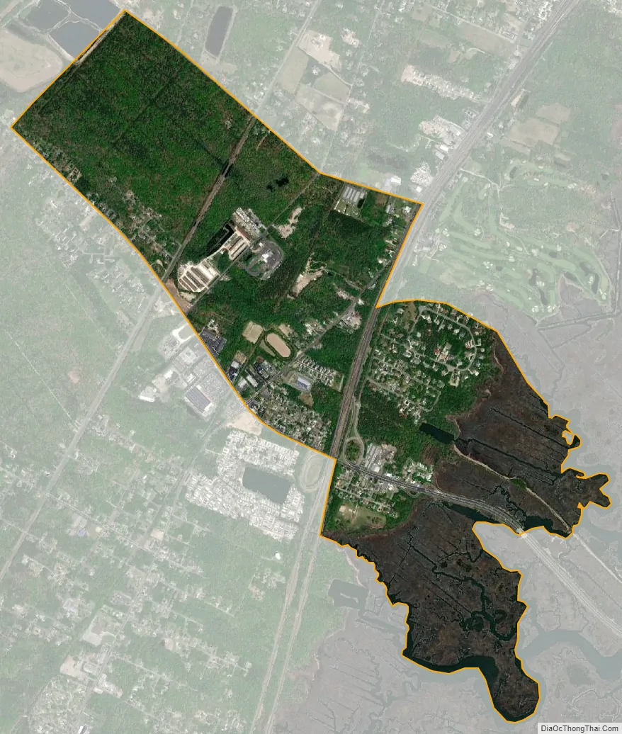
Burleigh city Satellite Map
Geography
According to the United States Census Bureau, the CDP had a total area of 1.550 square miles (4.015 km), including 1.518 square miles (3.932 km) of land and 0.032 square miles (0.083 km) of water (2.07%).
See also
Map of New Jersey State and its subdivision: Map of other states:- Alabama
- Alaska
- Arizona
- Arkansas
- California
- Colorado
- Connecticut
- Delaware
- District of Columbia
- Florida
- Georgia
- Hawaii
- Idaho
- Illinois
- Indiana
- Iowa
- Kansas
- Kentucky
- Louisiana
- Maine
- Maryland
- Massachusetts
- Michigan
- Minnesota
- Mississippi
- Missouri
- Montana
- Nebraska
- Nevada
- New Hampshire
- New Jersey
- New Mexico
- New York
- North Carolina
- North Dakota
- Ohio
- Oklahoma
- Oregon
- Pennsylvania
- Rhode Island
- South Carolina
- South Dakota
- Tennessee
- Texas
- Utah
- Vermont
- Virginia
- Washington
- West Virginia
- Wisconsin
- Wyoming