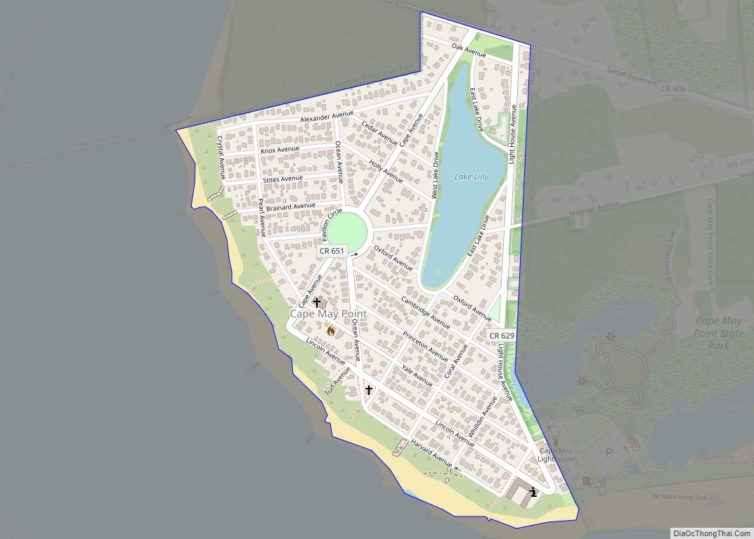
Cape May Point is a borough located at the tip of the Cape May Peninsula in Cape May County, in the U.S. state of New Jersey. The borough, and all of Cape May County, is part of the Ocean City metropolitan statistical area, and is part of the Philadelphia–Wilmington–Camden, PA-NJ-DE–MD combined statistical area, also known as the Delaware Valley or Philadelphia metropolitan area. As of the 2020 United States census, the borough’s population was 305, an increase of 14 (+4.8%) from the 2010 census count of 291, which in turn reflected an increase of 50 (+20.7%) from the 241 counted in the 2000 Census. The summer population can reach 4,500.
The Cape May Light is located in Lower Township, but is also a point of identity for Cape May Point as it uses the lighthouse as a logo for municipal-owned vehicles. Mayors of the two municipalities previously had a conflict over in which municipality it was located.
Cape May Point is a dry town, one of three municipalities in Cape May County where alcohol is not permitted to be sold by law. Cape May Point, Ocean City and Wildwood Crest are Cape May County’s only remaining dry municipalities.
| Name: | Cape May Point borough |
|---|---|
| LSAD Code: | 21 |
| LSAD Description: | borough (suffix) |
| State: | New Jersey |
| County: | Cape May County |
| Incorporated: | April 19, 1878 |
| Elevation: | 7 ft (2 m) |
| Total Area: | 0.31 sq mi (0.81 km²) |
| Land Area: | 0.29 sq mi (0.76 km²) |
| Water Area: | 0.02 sq mi (0.05 km²) 5.81% |
| Total Population: | 305 |
| Population Density: | 1,034.0/sq mi (399.2/km²) |
| ZIP code: | 08212 |
| Area code: | 609 exchanges: 884, 898 |
| FIPS code: | 3410330 |
| GNISfeature ID: | 0885179 |
| Website: | www.capemaypoint.org |
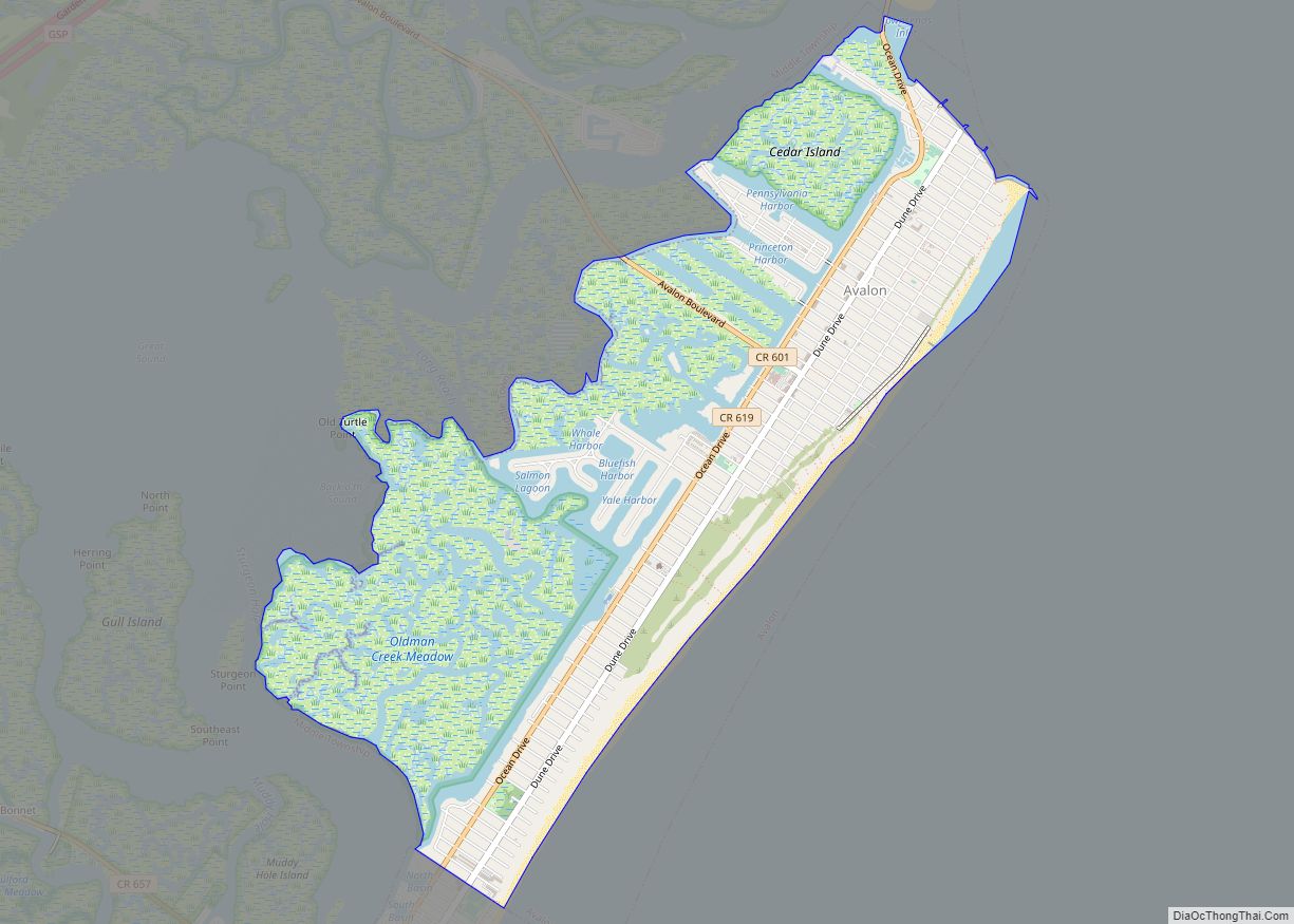
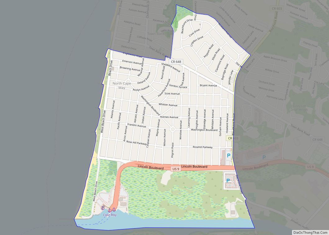
Online Interactive Map
Click on ![]() to view map in "full screen" mode.
to view map in "full screen" mode.
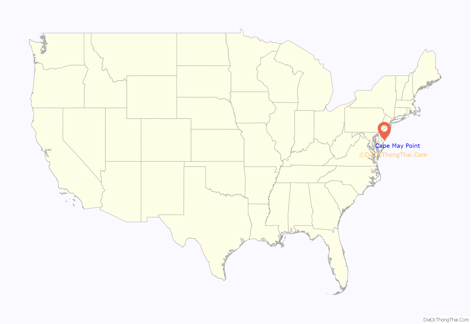
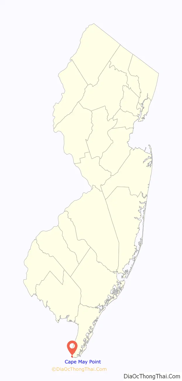
Cape May Point location map. Where is Cape May Point borough?
History
Cape May Point was called Stites Beach until 1876 when the name was changed to Seagrove. It was incorporated as a borough by an act of the New Jersey Legislature on April 19, 1878, from portions of Lower Township, based on the results of a referendum held three days earlier. It was reincorporated on August 19, 1891 and returned to Lower Township on April 8, 1896. Cape May Point re-emerged as an independent municipality on April 6, 1908, based on the results of a referendum held on April 21, 1908. The borough’s name derives from Cape May, which was named for 1620 Dutch captain named Cornelius Jacobsen May who explored and charted the area between 1611–1614, and established a claim for the province of New Netherland.
The remains of SS Atlantus World War I-era concrete ship are located of the coast of Cape May Point, next to Sunset Beach.
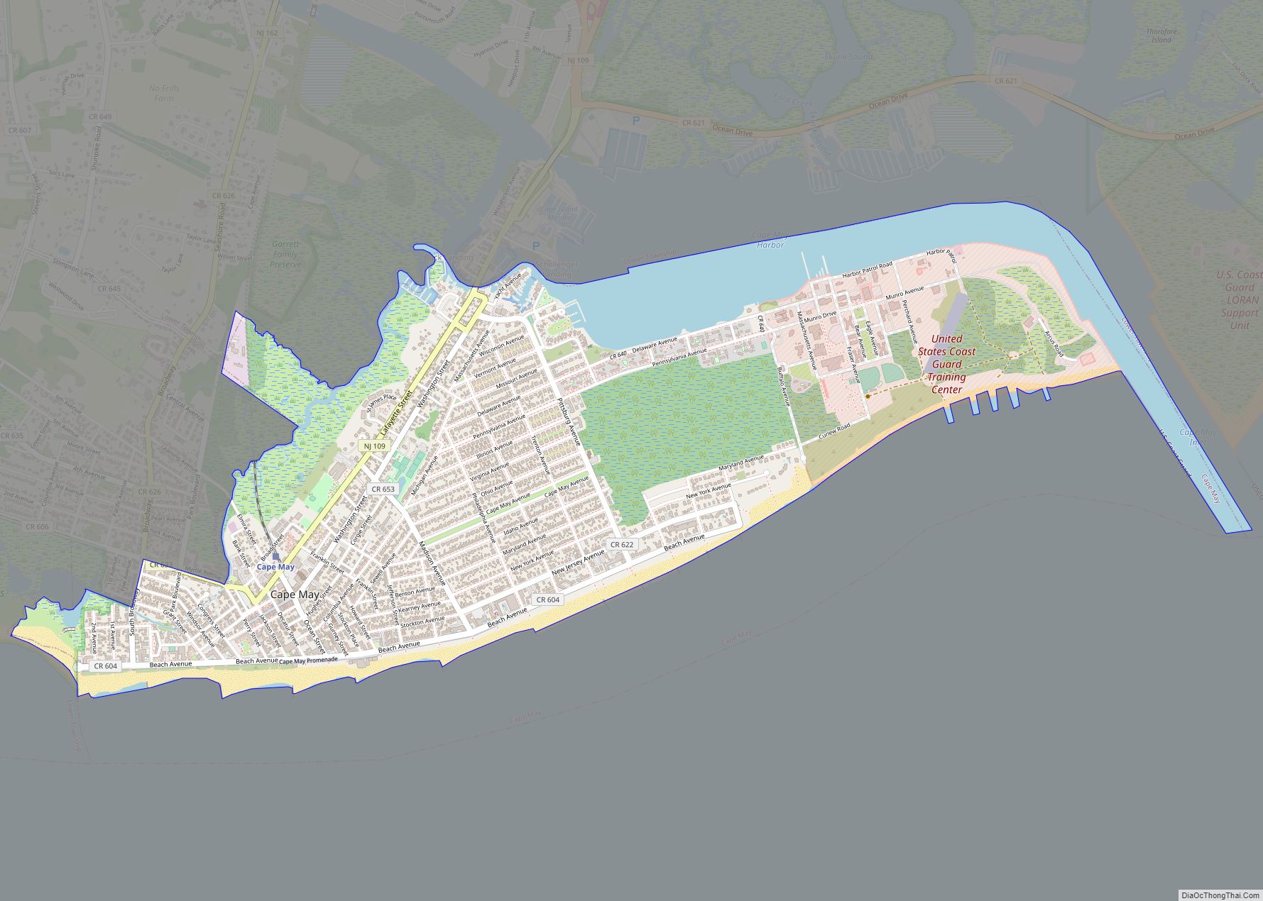
Cape May Point Road Map
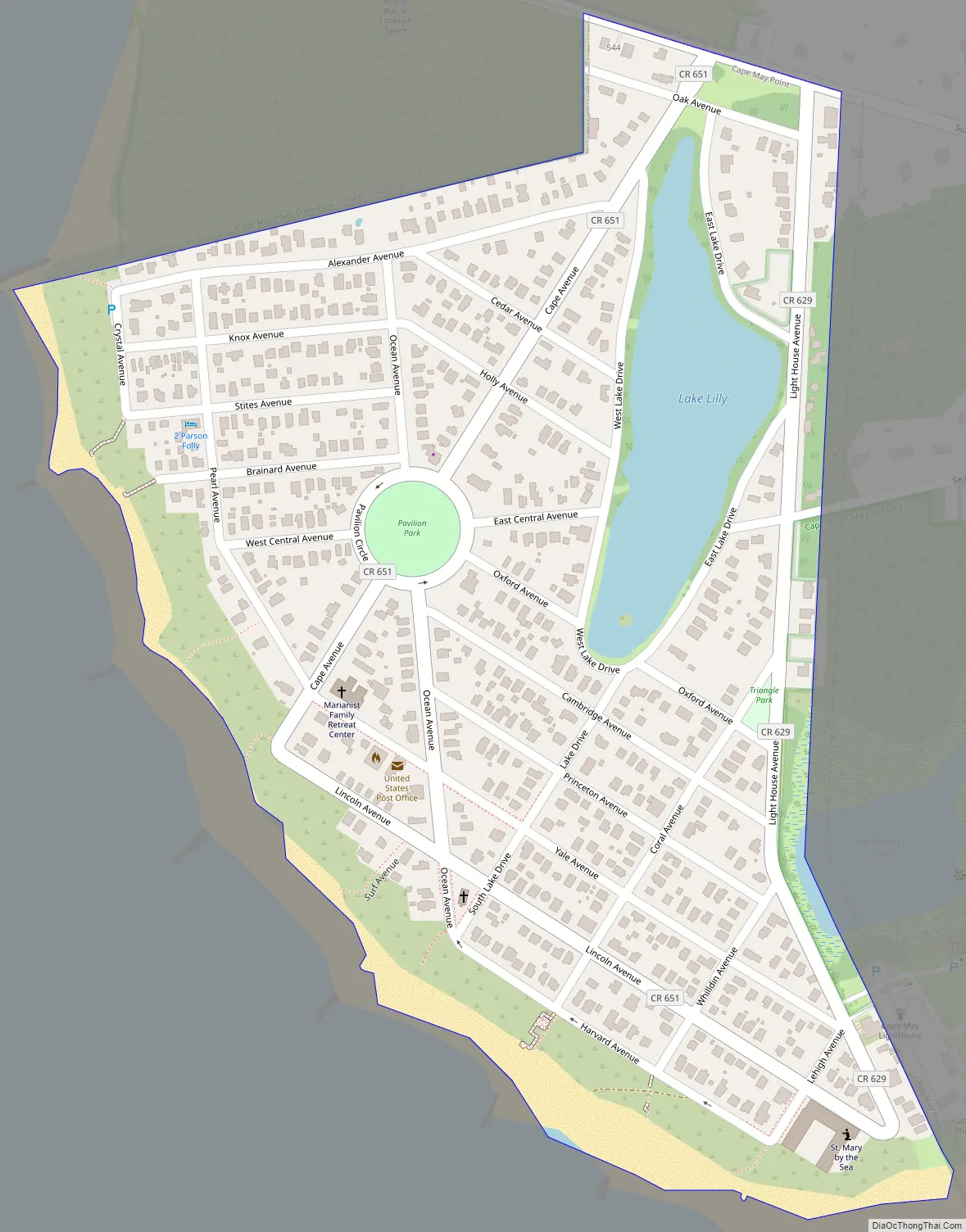
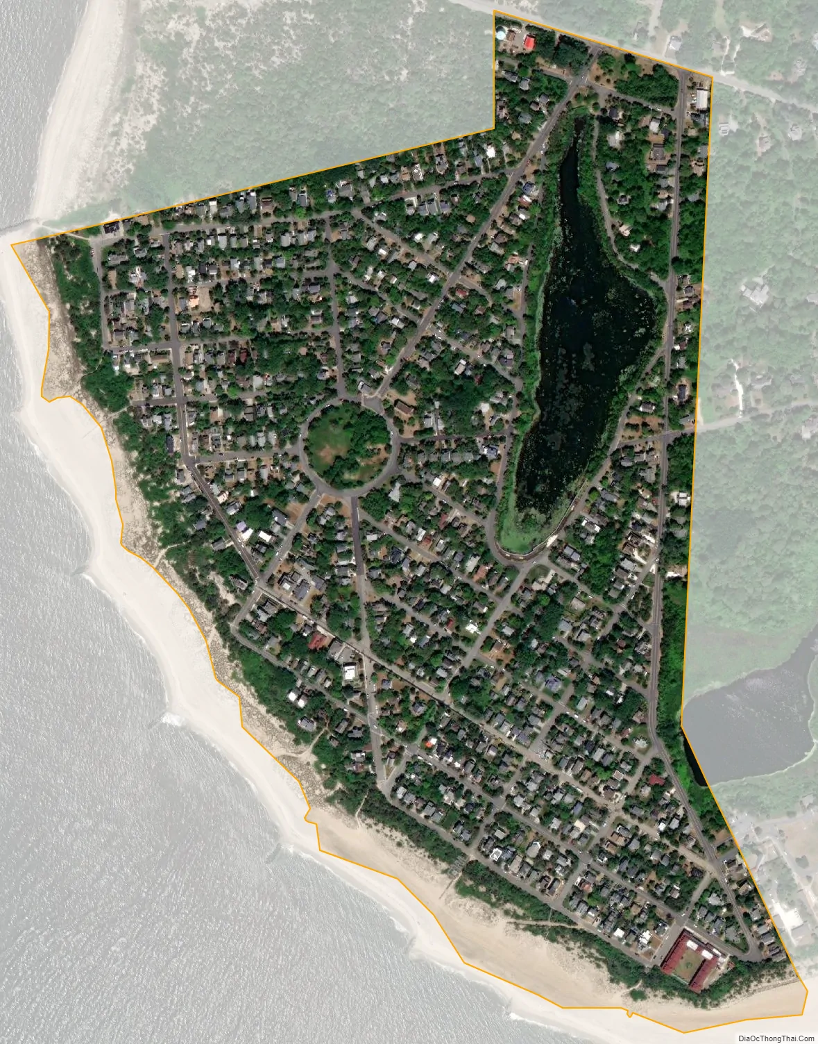
Cape May Point city Satellite Map
Geography
According to the United States Census Bureau, the borough had a total area of 0.31 square miles (0.81 km), including 0.30 square miles (0.76 km) of land and 0.02 square miles (0.05 km) of water (5.81%).
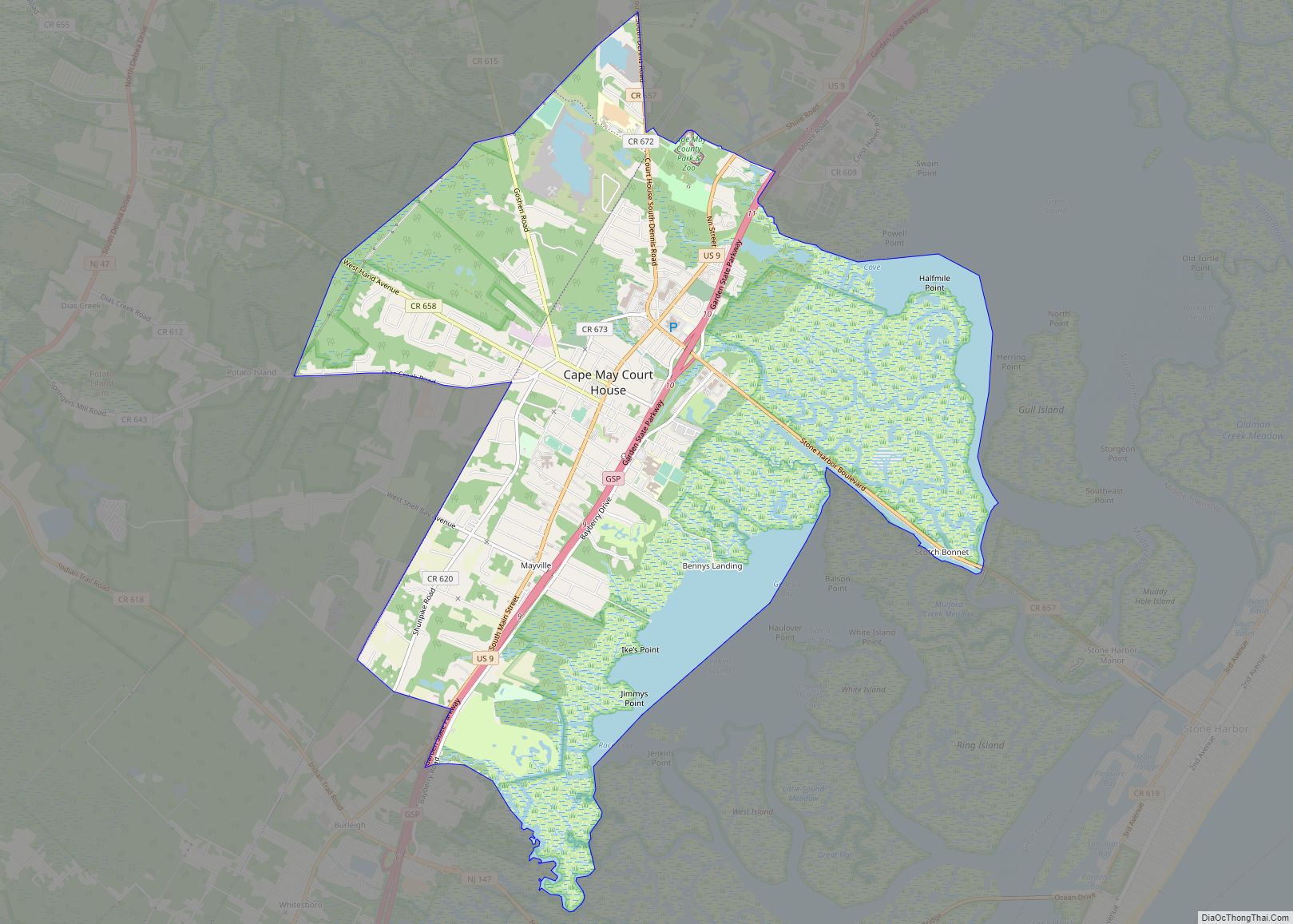
Cape May Point borders Lower Township, the Atlantic Ocean and Delaware Bay.
See also
Map of New Jersey State and its subdivision: Map of other states:- Alabama
- Alaska
- Arizona
- Arkansas
- California
- Colorado
- Connecticut
- Delaware
- District of Columbia
- Florida
- Georgia
- Hawaii
- Idaho
- Illinois
- Indiana
- Iowa
- Kansas
- Kentucky
- Louisiana
- Maine
- Maryland
- Massachusetts
- Michigan
- Minnesota
- Mississippi
- Missouri
- Montana
- Nebraska
- Nevada
- New Hampshire
- New Jersey
- New Mexico
- New York
- North Carolina
- North Dakota
- Ohio
- Oklahoma
- Oregon
- Pennsylvania
- Rhode Island
- South Carolina
- South Dakota
- Tennessee
- Texas
- Utah
- Vermont
- Virginia
- Washington
- West Virginia
- Wisconsin
- Wyoming