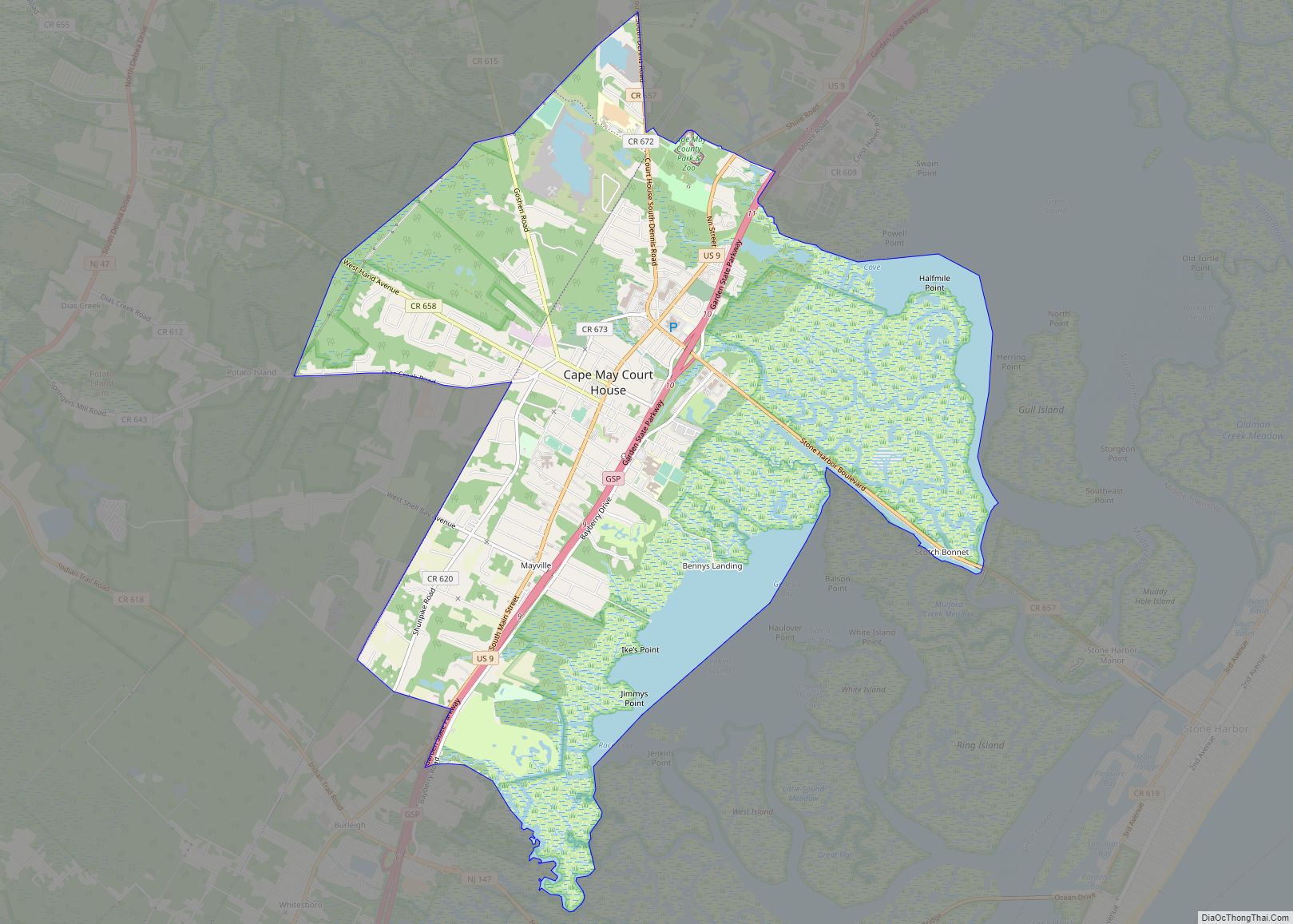
Cape May Court House is an unincorporated community and census-designated place (CDP) located within Middle Township in Cape May County, in the U.S. state of New Jersey. It is part of the Ocean City metropolitan statistical area. As of the 2020 United States Census, the CDP’s population was 5,573, reflecting a 4.4% increase from the 5,338 enumerated at the 2010 U.S. census, in turn an increase of 13.5% from the 4,704 counted at the 2000 census. It is the county seat of Cape May County and serves as the principal administrative hub for the township. It constitutes part of the greater Philadelphia metropolitan area, or the Delaware Valley.
Cape Regional Medical Center, known as Burdette Tomlin Memorial Hospital until April 2007, is the only hospital in Cape May County. The Cape May County Park and Zoo is also located in Cape May Court House.
| Name: | Cape May Court House CDP |
|---|---|
| LSAD Code: | 57 |
| LSAD Description: | CDP (suffix) |
| State: | New Jersey |
| County: | Cape May County |
| Elevation: | 13 ft (4 m) |
| Total Area: | 9.63 sq mi (24.94 km²) |
| Land Area: | 8.66 sq mi (22.42 km²) |
| Water Area: | 0.97 sq mi (2.52 km²) 9.83% |
| Total Population: | 5,573 |
| Population Density: | 643.53/sq mi (248.47/km²) |
| ZIP code: | 08210 |
| Area code: | 609 |
| FIPS code: | 3410300 |
| GNISfeature ID: | 02389275 |
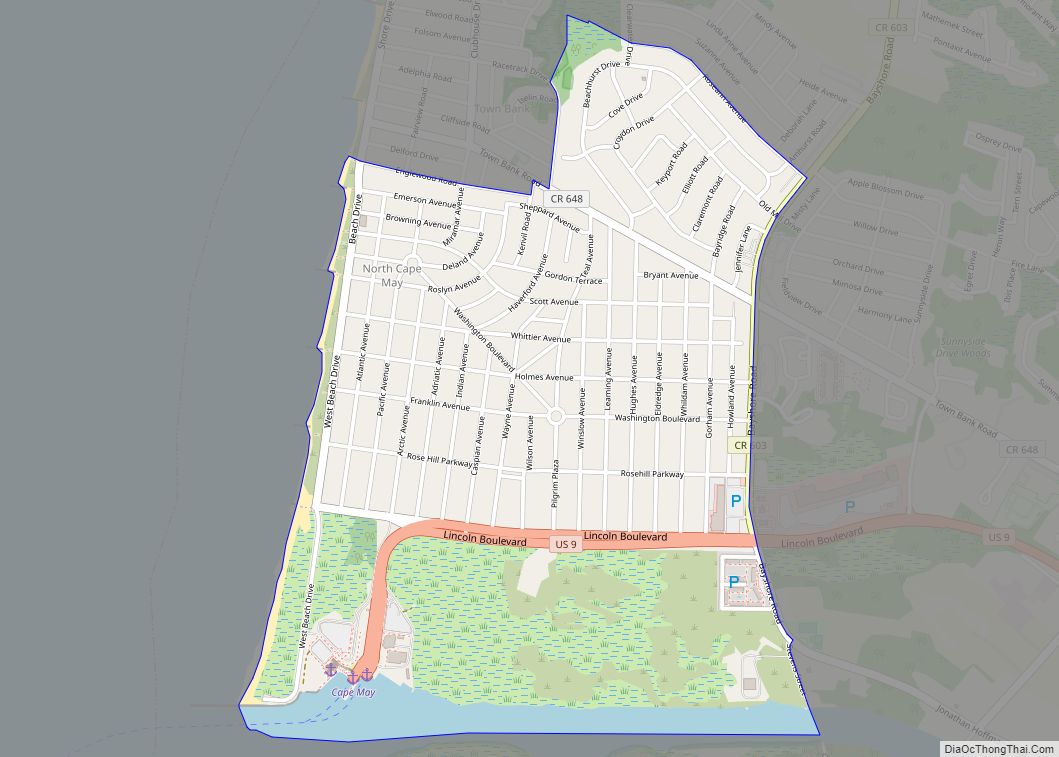
Online Interactive Map
Click on ![]() to view map in "full screen" mode.
to view map in "full screen" mode.
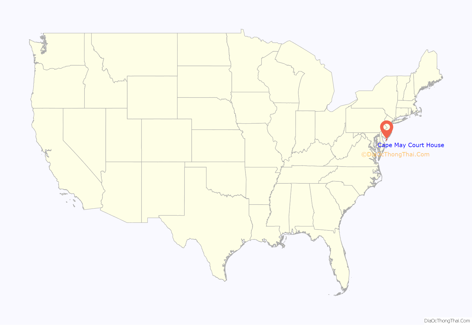
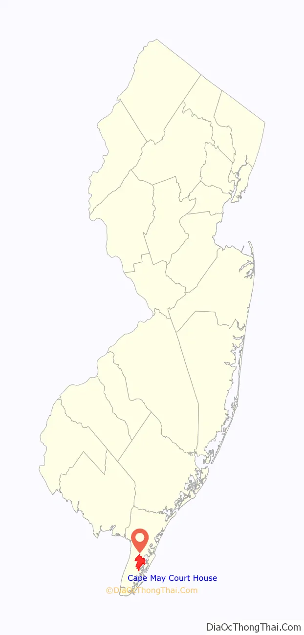
Cape May Court House location map. Where is Cape May Court House CDP?
History
Cape May Court House was laid out in 1703 by Jeremiah Hand and was first called Rumney Marsh and afterward Middleton before the adoption of its present name. The Court of Cape May County met in private homes and the First Baptist Church until 1764, when Daniel Hand set 1-acre (4,000 m) of his own property to construct a courthouse and jail. It was replaced by the current structure in 1849.
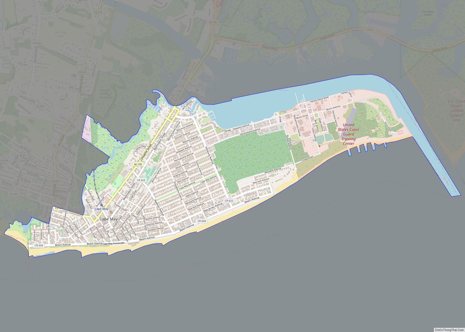
Cape May Court House Road Map
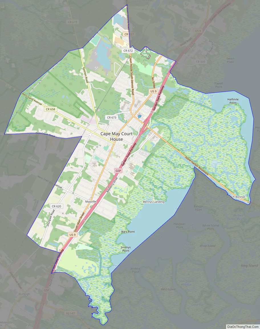
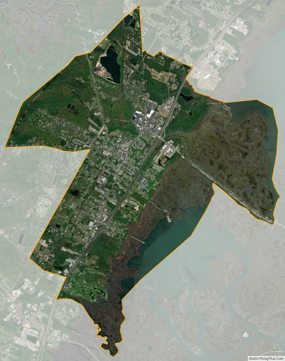
Cape May Court House city Satellite Map
Geography
According to the U.S. Census Bureau, the CDP had a total area of 9.899 square miles (25.639 km), including 8.926 square miles (23.118 km) of land and 0.973 square miles (2.520 km) of water (9.83%).
See also
Map of New Jersey State and its subdivision: Map of other states:- Alabama
- Alaska
- Arizona
- Arkansas
- California
- Colorado
- Connecticut
- Delaware
- District of Columbia
- Florida
- Georgia
- Hawaii
- Idaho
- Illinois
- Indiana
- Iowa
- Kansas
- Kentucky
- Louisiana
- Maine
- Maryland
- Massachusetts
- Michigan
- Minnesota
- Mississippi
- Missouri
- Montana
- Nebraska
- Nevada
- New Hampshire
- New Jersey
- New Mexico
- New York
- North Carolina
- North Dakota
- Ohio
- Oklahoma
- Oregon
- Pennsylvania
- Rhode Island
- South Carolina
- South Dakota
- Tennessee
- Texas
- Utah
- Vermont
- Virginia
- Washington
- West Virginia
- Wisconsin
- Wyoming