Deal is a borough situated on the Jersey Shore within Monmouth County, in the U.S. state of New Jersey. The community was settled by Europeans in the mid-1660s and named after an English carpenter from Deal, Kent. As of the 2020 United States census, the borough’s population was 900, an increase of 150 (+20.0%) from the 2010 census count of 750, which in turn had reflected a decline of 320 (−29.9%) from the 1,070 counted at the 2000 census.
Deal is home to a significant population of Orthodox Sephardic Jews, mainly of Syrian origin. As many as 80% of Deal’s population are Sephardi Jews, and the year-round population jumps ten-fold to over 6,000 during the summer, many of them Syrian Jews. In the 2000 census, 16.4% of Deal residents identified as being of Syrian heritage, the greatest percentage of Syrian Americans in any municipality in the country. Most of the town consisted of homes close to or over one hundred years old in the Victorian and American Foursquare styles.
In 2007, Deal was ranked by Forbes magazine as the 13th most expensive ZIP Code in the nation with a median sale price of $1,825,000. It was also named the 4th most expensive zip code in New Jersey in 2017, with a median sale price of $1,207,500. In 2019, PropertyShark ranked Deal in a tie with 94110 in San Francisco as the 85th most expensive ZIP Code in the country, and second-highest in New Jersey, with a median sales price of $1,500,000. Then again in 2021, it was ranked as the second-most expensive zip code in New Jersey with a typical home value of $2,141,154 In 2022, Deal was ranked as the most expensive zip code in New Jersey, with homes valued at $2,400,000.
| Name: | Deal borough |
|---|---|
| LSAD Code: | 21 |
| LSAD Description: | borough (suffix) |
| State: | New Jersey |
| County: | Monmouth County |
| Incorporated: | March 7, 1898 |
| Elevation: | 30 ft (9 m) |
| Total Area: | 1.32 sq mi (3.42 km²) |
| Land Area: | 1.18 sq mi (3.07 km²) |
| Water Area: | 0.14 sq mi (0.35 km²) 10.30% |
| Total Population: | 900 |
| Population Density: | 760.0/sq mi (293.4/km²) |
| ZIP code: | 07723 |
| Area code: | 732 exchanges: 517, 531, 660, 663 |
| FIPS code: | 3416660 |
| GNISfeature ID: | 0885194 |
| Website: | www.dealborough.com |
Online Interactive Map
Click on ![]() to view map in "full screen" mode.
to view map in "full screen" mode.
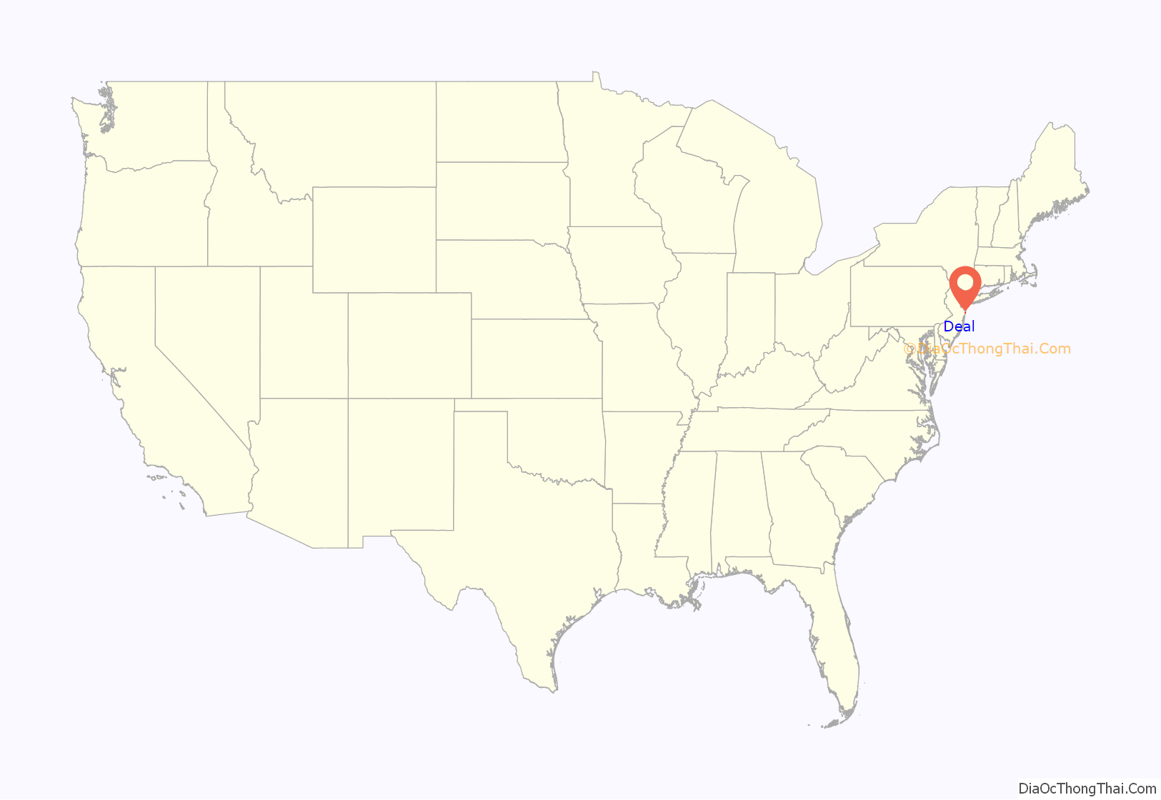
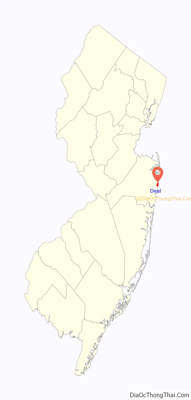
Deal location map. Where is Deal borough?
History
A group from Rhode Island settled in the area of Middletown Township and Shrewsbury Township in the mid-1660s, after having purchased what was known as the Monmouth Patent. Thomas Whyte, an English carpenter from the shore-side community of Deal, Kent, acquired 500 acres (200 ha) in Shrewsbury Township along the shore that became known as “Deal”, from the name of the English town. Present-day Norwood Avenue dates back to the early 18th century construction of the Long Branch-Deal Turnpike.
On August 14, 1829, at 11:30 PM local time, the fall of a meteorite was observed. The weight of the recovered stone was 28 grams (0.99 oz). The meteorite was officially named “Deal” and it was classified as an ordinary chondrite L.
Deal was incorporated as a borough on March 7, 1898, by an act of the New Jersey Legislature, from portions of Ocean Township.
In summer 2009, several residents of Deal were involved in a scandal called Operation Bid Rig, which involved public corruption, money laundering, and trafficking of human organs.
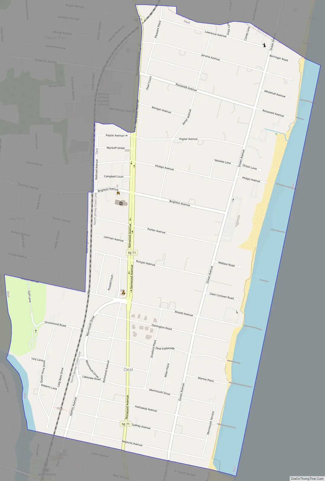
Deal Road Map
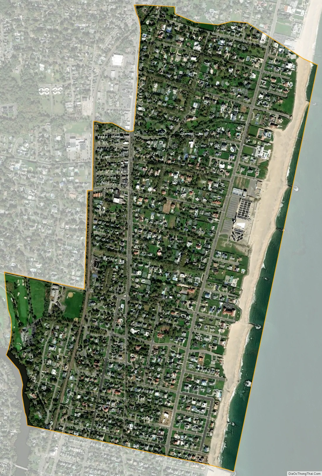
Deal city Satellite Map
Geography
According to the U.S. Census Bureau, the borough had a total area of 1.32 square miles (3.42 km), including 1.18 square miles (3.07 km) of land and 0.14 square miles (0.35 km) of water (10.30%). The borough’s beaches have been expanded significantly due to reclamation of the beach by way of dredging.
Unincorporated communities, localities and place names located partially or completely within the borough include South Elberon.
The borough borders the Monmouth County communities of Allenhurst, Long Branch, and Ocean Township.
Deal Lake covers 158 acres (64 ha) and is overseen by the Deal Lake Commission, which was established in 1974. Seven municipalities border the lake, accounting for 27 miles (43 km) of shoreline, also including Allenhurst, Asbury Park, Interlaken, Loch Arbour, Neptune Township and Ocean Township.
See also
Map of New Jersey State and its subdivision: Map of other states:- Alabama
- Alaska
- Arizona
- Arkansas
- California
- Colorado
- Connecticut
- Delaware
- District of Columbia
- Florida
- Georgia
- Hawaii
- Idaho
- Illinois
- Indiana
- Iowa
- Kansas
- Kentucky
- Louisiana
- Maine
- Maryland
- Massachusetts
- Michigan
- Minnesota
- Mississippi
- Missouri
- Montana
- Nebraska
- Nevada
- New Hampshire
- New Jersey
- New Mexico
- New York
- North Carolina
- North Dakota
- Ohio
- Oklahoma
- Oregon
- Pennsylvania
- Rhode Island
- South Carolina
- South Dakota
- Tennessee
- Texas
- Utah
- Vermont
- Virginia
- Washington
- West Virginia
- Wisconsin
- Wyoming


