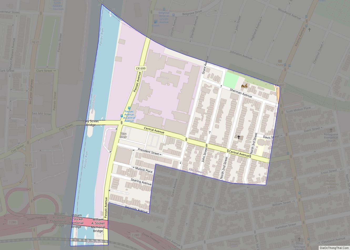
East Newark is a borough in the western part of Hudson County, in the U.S. state of New Jersey. It is a suburb of Newark, which sits across the Passaic River. The borough is the second-smallest municipality by total area in the state.
The Borough of East Newark was established on July 2, 1895, from portions of Kearny lying between the Erie Railroad’s Newark Branch right of way and Harrison, based on the results of a referendum held the previous day.
As of the 2020 United States census, the borough’s population was 2,594, an increase of 188 (+7.8%) from the 2010 census count of 2,406, which in turn reflected an increase of 29 (+1.2%) from the 2,377 counted in the 2000 census.
| Name: | East Newark borough |
|---|---|
| LSAD Code: | 21 |
| LSAD Description: | borough (suffix) |
| State: | New Jersey |
| County: | Hudson County |
| Incorporated: | July 2, 1895 |
| Elevation: | 16 ft (5 m) |
| Total Area: | 0.13 sq mi (0.32 km²) |
| Land Area: | 0.10 sq mi (0.27 km²) |
| Water Area: | 0.02 sq mi (0.06 km²) 16.92% |
| Total Population: | 2,594 |
| Population Density: | 25,301.5/sq mi (9,769.0/km²) |
| ZIP code: | 07029 |
| Area code: | 973 |
| FIPS code: | 3419360 |
| GNISfeature ID: | 0885199 |
| Website: | www.boroughofeastnewark.com |
Online Interactive Map
Click on ![]() to view map in "full screen" mode.
to view map in "full screen" mode.
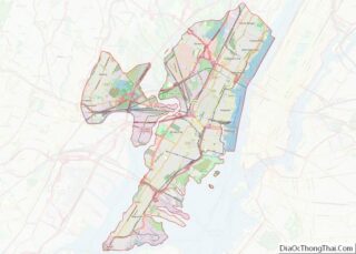
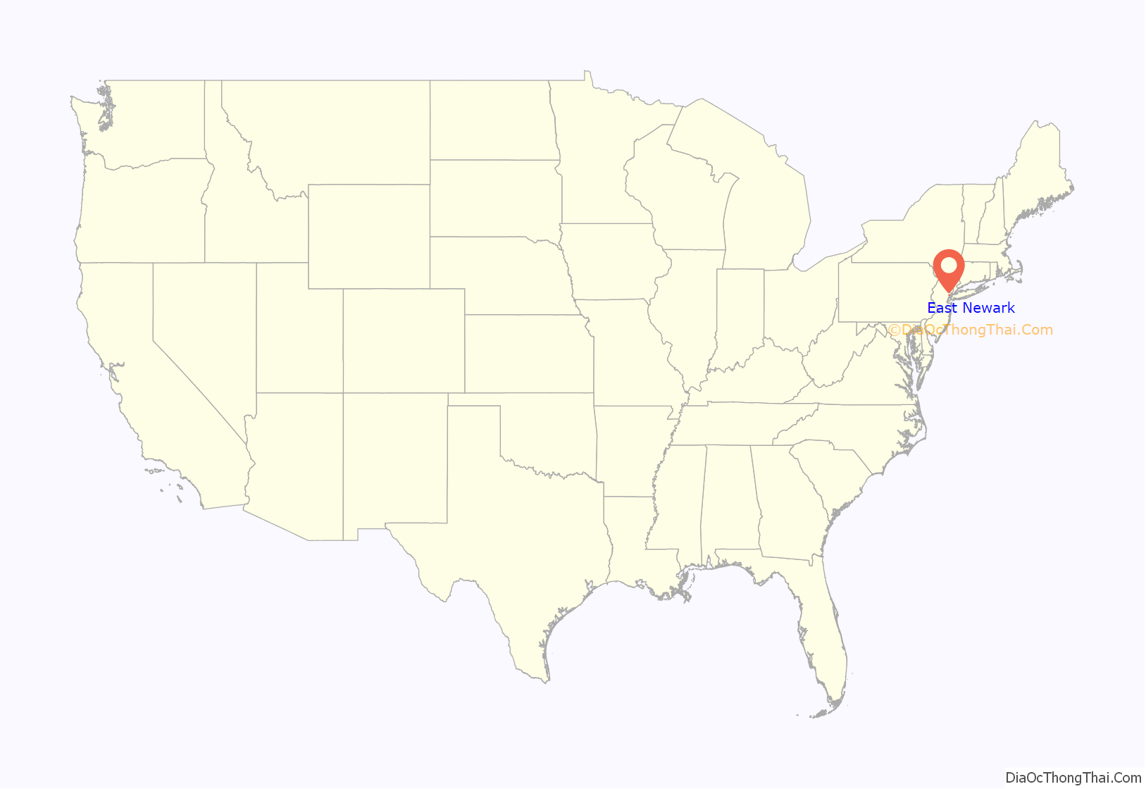
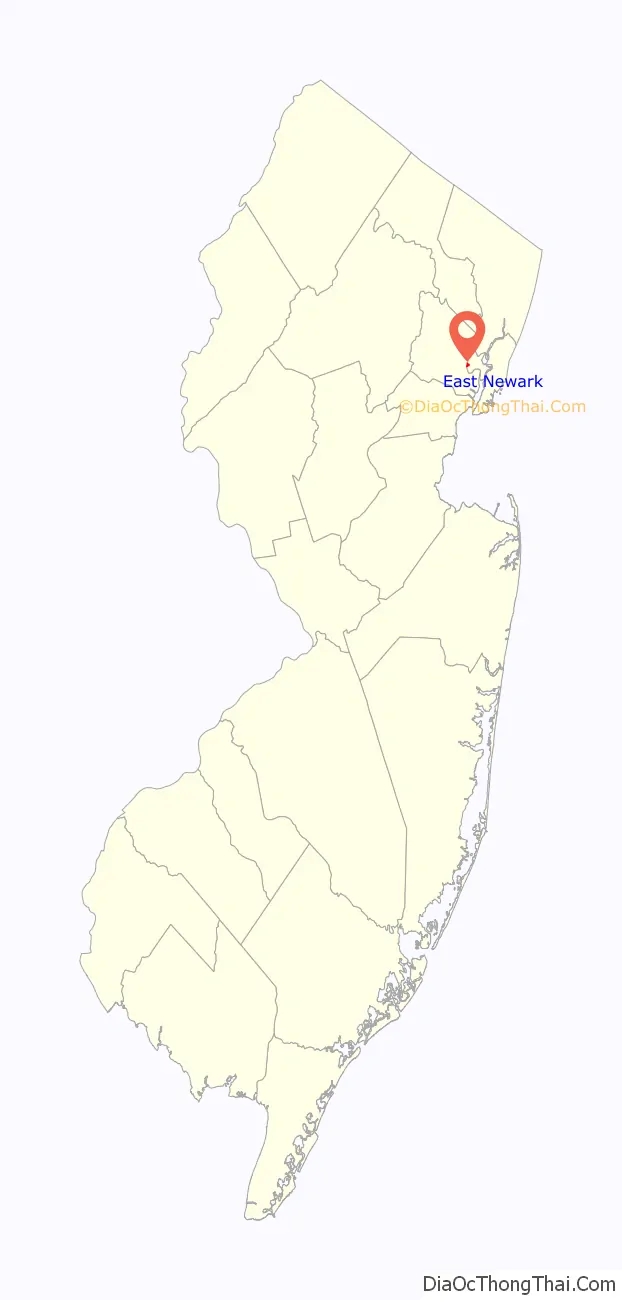
East Newark location map. Where is East Newark borough?
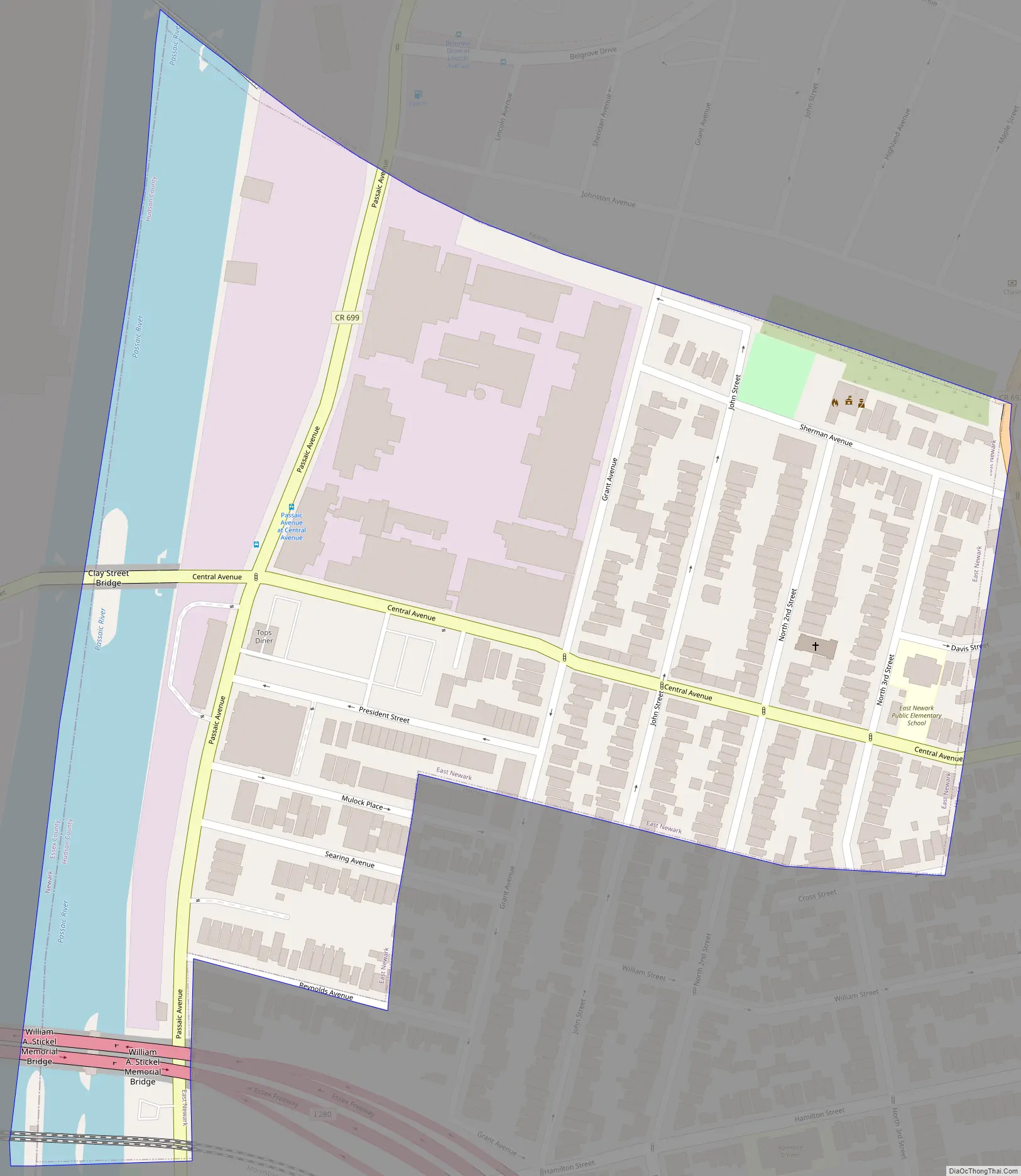
East Newark Road Map
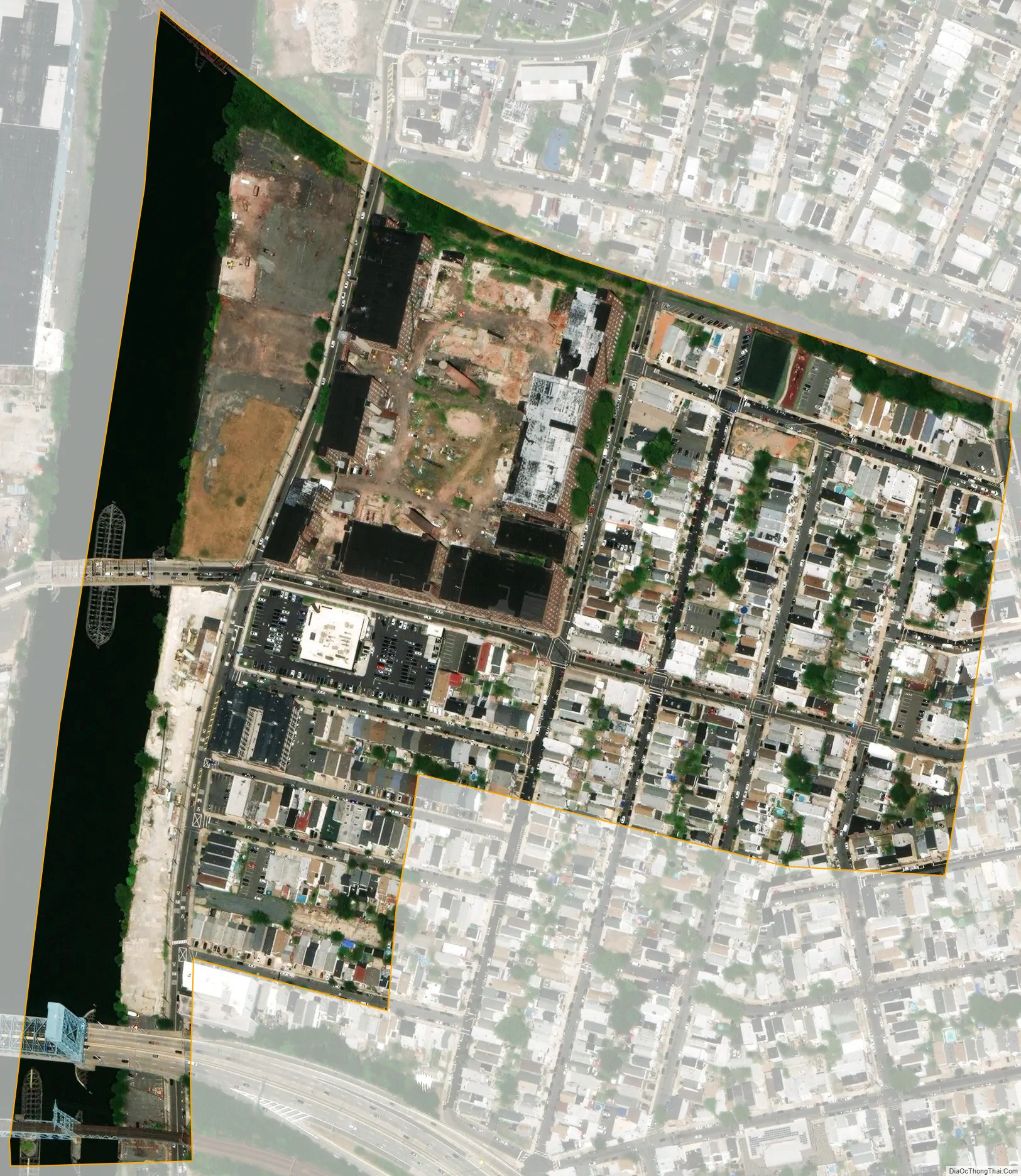
East Newark city Satellite Map
Geography
According to the United States Census Bureau, the borough had a total area of 0.13 square miles (0.32 km), including 0.10 square miles (0.27 km) of land and 0.02 square miles (0.06 km) of water (16.92%).
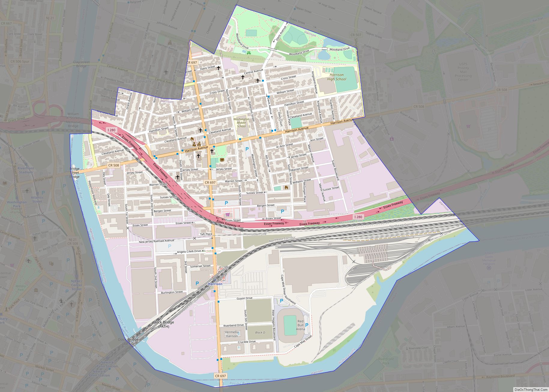
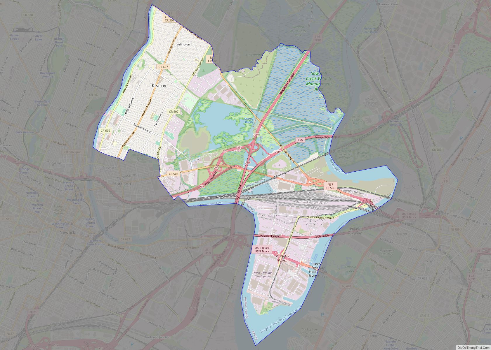
The borough is bordered to the north by Kearny and to the south and east by Harrison, both in Hudson County, and to the west by the Passaic River across from which is Newark in Essex County.
The Clark Thread Company Historic District is located in the borough.
See also
Map of New Jersey State and its subdivision: Map of other states:- Alabama
- Alaska
- Arizona
- Arkansas
- California
- Colorado
- Connecticut
- Delaware
- District of Columbia
- Florida
- Georgia
- Hawaii
- Idaho
- Illinois
- Indiana
- Iowa
- Kansas
- Kentucky
- Louisiana
- Maine
- Maryland
- Massachusetts
- Michigan
- Minnesota
- Mississippi
- Missouri
- Montana
- Nebraska
- Nevada
- New Hampshire
- New Jersey
- New Mexico
- New York
- North Carolina
- North Dakota
- Ohio
- Oklahoma
- Oregon
- Pennsylvania
- Rhode Island
- South Carolina
- South Dakota
- Tennessee
- Texas
- Utah
- Vermont
- Virginia
- Washington
- West Virginia
- Wisconsin
- Wyoming