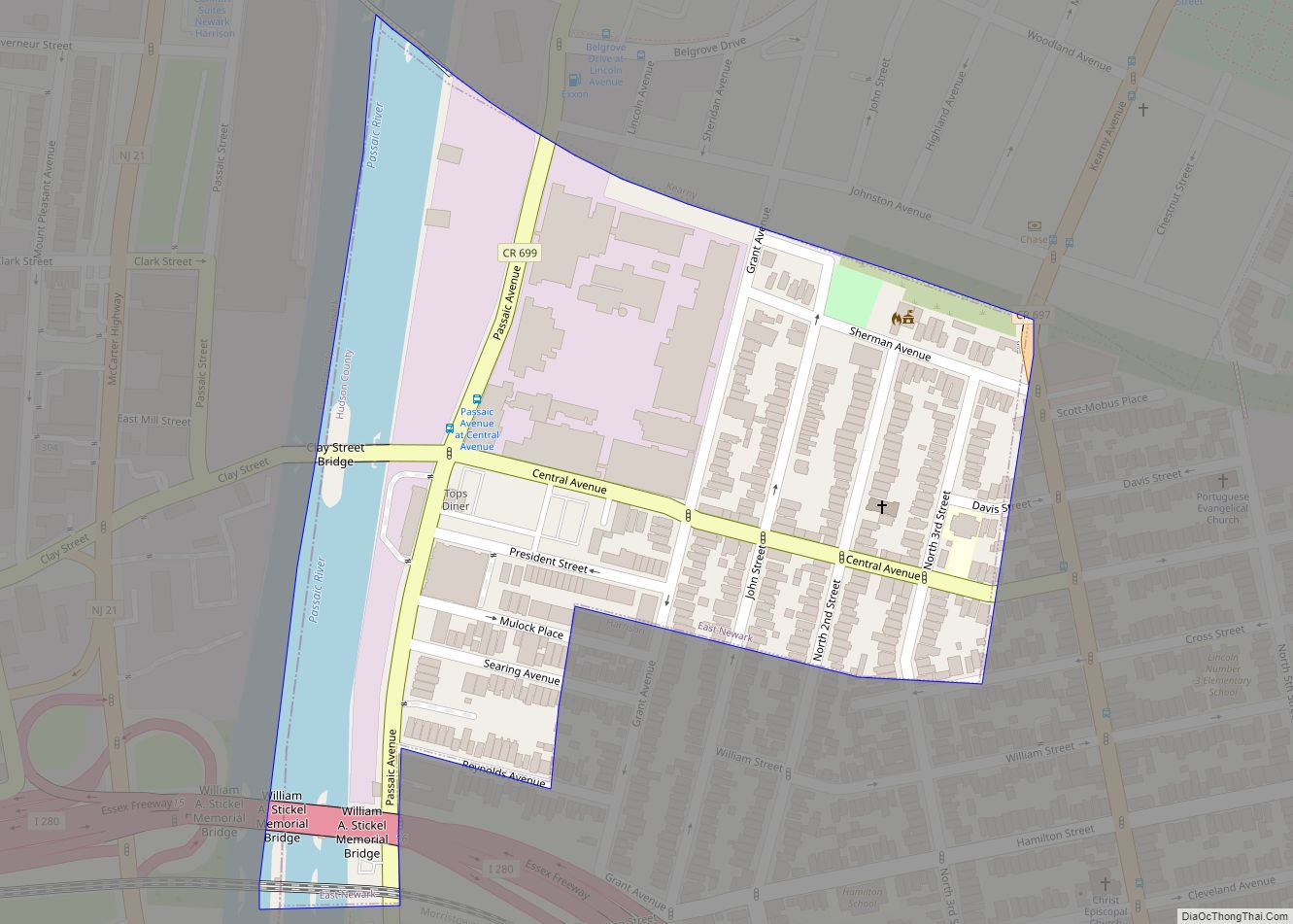
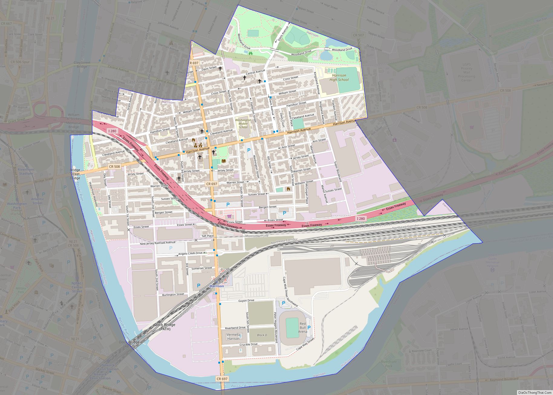
Harrison is a town in the western part of Hudson County in the U.S. state of New Jersey. It is part of the New York metropolitan area. It is a suburb of the nearby city of Newark, New Jersey, and is located 8 miles (13 km) from New York City. Once considered “the beehive of industry”, the town is undergoing a residential renewal, particularly along the Passaic River.
As of the 2020 United States census, the town’s population was 19,450, an increase of 5,830 (+42.8%) from the 2010 census count of 13,620, which in turn reflected a decrease of 804 (−5.6%) from the 14,424 counted in the 2000 census.
| Name: | Harrison town |
|---|---|
| LSAD Code: | 43 |
| LSAD Description: | town (suffix) |
| State: | New Jersey |
| County: | Hudson County |
| Incorporated: | April 13, 1840 (as township) |
| Elevation: | 20 ft (6 m) |
| Total Area: | 1.33 sq mi (3.44 km²) |
| Land Area: | 1.21 sq mi (3.14 km²) |
| Water Area: | 0.12 sq mi (0.30 km²) 8.72% |
| Total Population: | 19,450 |
| Population Density: | 16,061.1/sq mi (6,201.2/km²) |
| ZIP code: | 07029 |
| Area code: | 973 |
| FIPS code: | 3430210 |
| GNISfeature ID: | 0885245 |
| Website: | townofharrison.com |
Online Interactive Map
Click on ![]() to view map in "full screen" mode.
to view map in "full screen" mode.
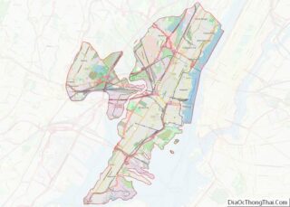
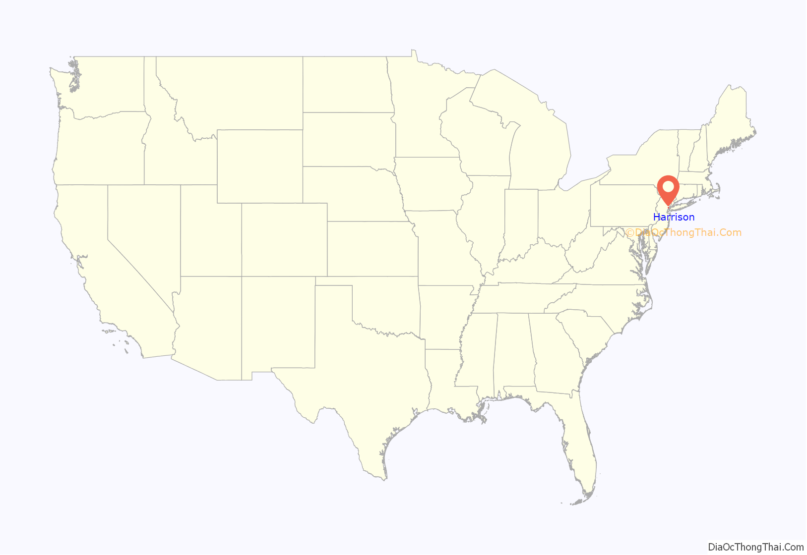
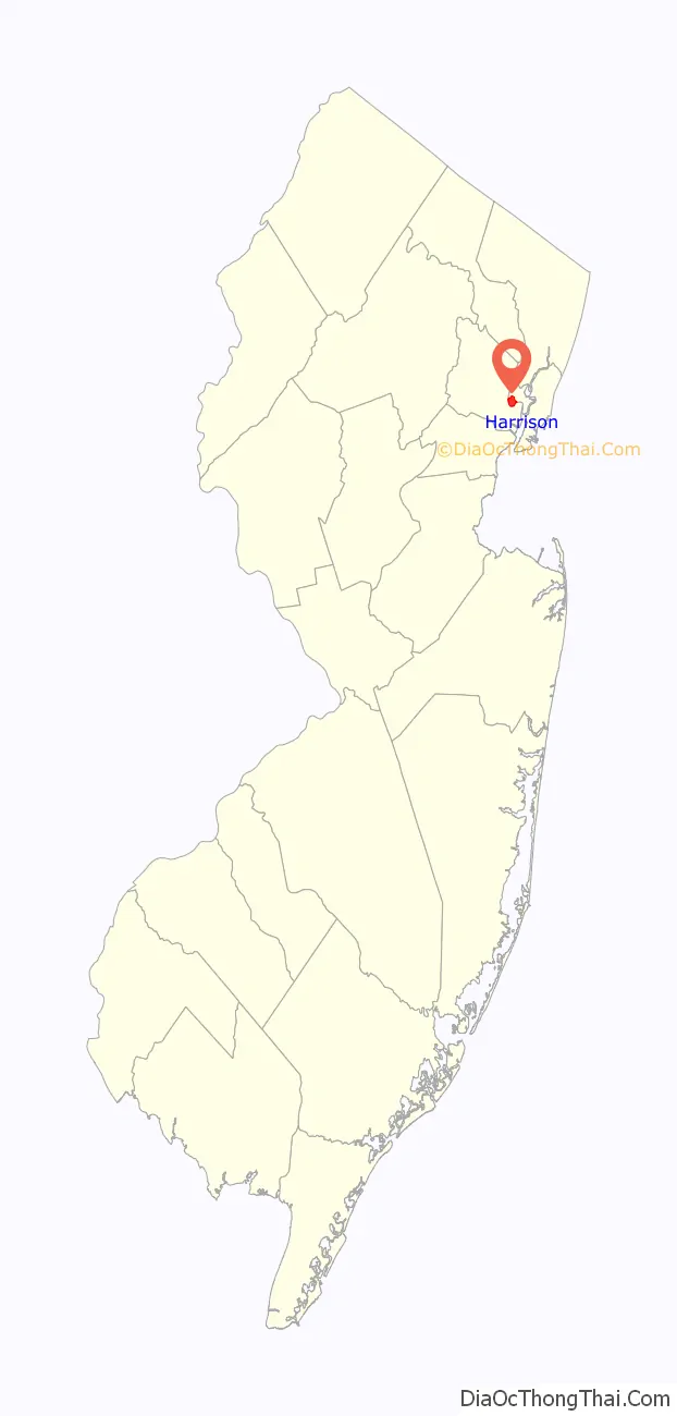
Harrison location map. Where is Harrison town?
History
Colonial era to 19th century
The area that is now Harrison was the southernmost part of the 15,308-acre (23.919 sq mi; 61.95 km) land grant awarded to William Sandford in 1668. When that grant was divided in 1671 between Sandford and his uncle, Nathaniel Kingsland of Barbados, Sandford’s 5,000-acre (2,000 ha) share included Harrison. While Sandford and his family established a plantation on the northern portion of his tract, there is no evidence they developed any significant part of Harrison. Upon his death in 1691, Sandford’s land passed to his wife, Sarah Sandford (née Whartman). Upon her death c. 1719, she passed most of the land, including Harrison, to her son William (c. 1670–1733). In 1729, William transferred the southern parts of his upland to three of his sons, John, Robert and Peter, each receiving a 300-acre (120 ha) lot that included a portion of Harrison’s upland. John and Robert sold their lots to members of the Schuyler family in 1733 and 1736, respectively, and migrated westward, John to Newark and Robert to Pine Brook. The disposition of Peter’s lot is not known, but no further record of him is found in or near Harrison.
A road to the Hudson Waterfront was completed in 1750, named for Douwe’s Ferry which it met at its eastern end to cross the Hackensack River. In 1790 the state legislature decided that “public good would be served by a 64-foot road from Paulus Hook to Newark Courthouse”. By 1795, a bridge over the Hackensack 950 feet (290 m) long and another over the Passaic 492 feet (150 m) long (at the site of the Bridge Street Bridge) were built creating an uninterrupted toll road connection. It is now known as the Newark Turnpike.
In 1826, the New Jersey Legislature formed Lodi Township from the southern portion of New Barbadoes Neck in Bergen County. Since Lodi Township was part of Bergen County, matters dealing with the county government and courts had to be taken to Hackensack.
In 1840, the inhabitants of Lodi Township joined with present-day Secaucus, Bayonne, Jersey City, Hoboken, Weehawken, and Union City and petitioned for the creation of a new county due to the great distance which the petitioners had to travel to reach the county seat in Hackensack. This appeal resulted in the creation of Hudson County and the first mention of Harrison occurs in the law which was passed on April 13, 1840. Harrison Township was thereby established.
The first committee meeting of the Township of Harrison was held on April 16, 1840, and it is widely accepted that Harrison was named for President William Henry Harrison, who was elected that year.
19th century to present
Union Township (now Lyndhurst) was created as of February 19, 1852, from portions of the township and became part of Bergen County.
General N. N. Halstead succeeded in getting the necessary laws passed in Trenton and on April 8, 1867, Kearny became a separate Township from land that was a part of Harrison, which included East Newark at the time; East Newark later seceded from Kearny, establishing their own Borough. On March 25, 1869, Harrison town was incorporated, replacing the township.
While campaigning for re-election in 1912, President William Howard Taft told residents gathered for a rally that “you have reason to be proud of this Hive of Industry”, from which was coined the town’s motto, “The Beehive of Industry”, which is still used today.
The town’s proximity to rail lines and a large waterfront made Harrison favorably situated for trade. Some of the industries which called Harrison home included the Edison Lamp Works, Worthington Pump and Machinery, the RCA Company, the Peter Hauck Brewery, Driver-Harris Company, Crucible Steel Company, Otis Elevator, Hartz Mountain, Remco Industries, Nopco Chemical and Hyatt Roller Bearing.
As the U.S. moved into the 20th century, these facilities played a major role in the development of new products for both the private and public sector, peaking during World War II. The small town of about only 14,000 residents had more than 90,000 workers commuting into it on a daily basis. In the 21st century the town is undergoing a transformation from a manufacturing center to a residential and service sector town.
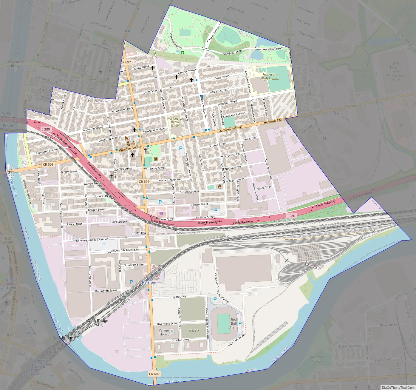
Harrison Road Map
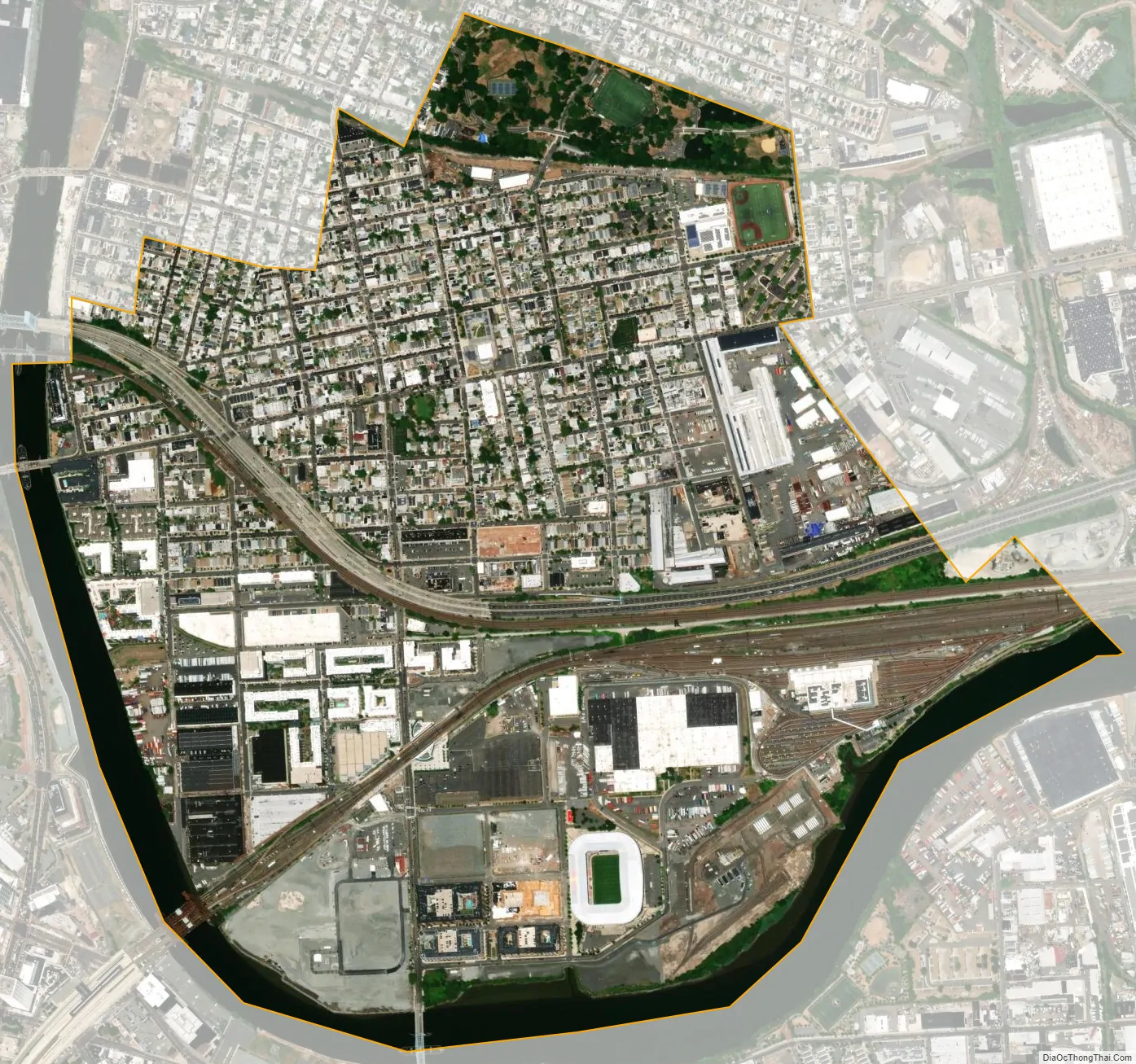
Harrison city Satellite Map
Geography
According to the U.S. Census Bureau, the town had a total area of 1.33 square miles (3.44 km), including 1.21 square miles (3.14 km) of land and 0.12 square miles (0.30 km) of water (8.72%). Unincorporated communities located partially or completely within Harrison include Manhattan Transfer.
The town borders the municipalities of East Newark and Kearny in Hudson County; and Newark across the Passaic River in Essex County.
See also
Map of New Jersey State and its subdivision: Map of other states:- Alabama
- Alaska
- Arizona
- Arkansas
- California
- Colorado
- Connecticut
- Delaware
- District of Columbia
- Florida
- Georgia
- Hawaii
- Idaho
- Illinois
- Indiana
- Iowa
- Kansas
- Kentucky
- Louisiana
- Maine
- Maryland
- Massachusetts
- Michigan
- Minnesota
- Mississippi
- Missouri
- Montana
- Nebraska
- Nevada
- New Hampshire
- New Jersey
- New Mexico
- New York
- North Carolina
- North Dakota
- Ohio
- Oklahoma
- Oregon
- Pennsylvania
- Rhode Island
- South Carolina
- South Dakota
- Tennessee
- Texas
- Utah
- Vermont
- Virginia
- Washington
- West Virginia
- Wisconsin
- Wyoming