Interlaken is a borough situated in the Jersey Shore region, within Monmouth County, in the U.S. state of New Jersey. As of the 2020 United States census, the borough’s population was 828, an increase of 8 (+1.0%) from the 2010 census count of 820, which in turn had reflected a decline of 80 (−8.9%) from the 900 counted in the 2000 census.
Interlaken was authorized for prospective incorporation as a borough by an act of the New Jersey Legislature on March 11, 1922, from portions of Ocean Township, subject to approval by a majority of voters in the affected area. Voters approved the incorporation of Interlaken in a referendum held on May 3, 1922.
Interlaken is a dry town where alcohol is not permitted to be sold by law.
| Name: | Interlaken borough |
|---|---|
| LSAD Code: | 21 |
| LSAD Description: | borough (suffix) |
| State: | New Jersey |
| County: | Monmouth County |
| Incorporated: | May 3, 1922 |
| Elevation: | 16 ft (5 m) |
| Total Area: | 0.39 sq mi (1.01 km²) |
| Land Area: | 0.33 sq mi (0.86 km²) |
| Water Area: | 0.06 sq mi (0.15 km²) 14.62% |
| Total Population: | 828 |
| Population Density: | 2,499.4/sq mi (965.0/km²) |
| ZIP code: | 07712 |
| Area code: | 732 |
| FIPS code: | 3434200 |
| GNISfeature ID: | 0885261 |
| Website: | www.interlakenboro.com |
Online Interactive Map
Click on ![]() to view map in "full screen" mode.
to view map in "full screen" mode.
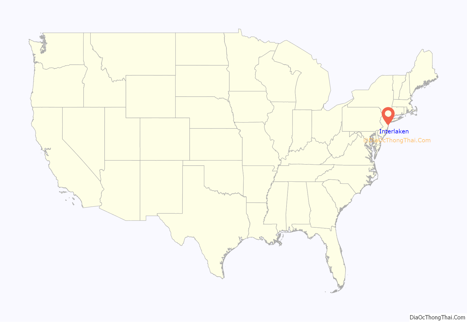
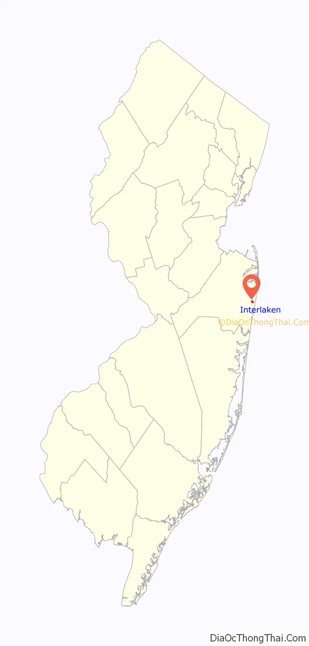
Interlaken location map. Where is Interlaken borough?
History
The area that is now Interlaken was purchased in 1667 by Gavin Drummond from the Lenape Native Americans. It was later part of Ocean Township, which had seceded from Shrewsbury Township in 1849 and included at the time present-day Eatontown, Neptune Township, Neptune City, Avon-by-the-Sea, Bradley Beach, Asbury Park, Allenhurst, Deal, Long Branch, West Long Branch, Loch Arbour, Monmouth Beach, Sea Bright, and Oceanport, along with Interlaken itself.
Dr. Francis Weld, a Boston physician, bought a 364-acre (1.47 km) tract and named it Interlaken Farm, after Interlaken, a peninsula in Switzerland situated between two lakes, that they had just visited, which was similar to the borough’s location between two sections of Deal Lake. Weld established the Interlaken Land Company in 1890 to turn his farm into a residential community with avenues named after English lakes and cross streets named after the islands in the Hebrides in the Irish Sea. While the initial effort did not succeed, the Stormfelz-Lovely-Neville Company was hired in 1905 to continue the building project, and the community began its growth.
Interlaken was formed as a borough on March 11, 1922, based on the results of a referendum held on May 3, 1922. The first mayor and council of Interlaken were seated on June 26, 1922.
Interlaken remains entirely residential, as was originally intended by its developers. The borough had been the only municipality in the state without any businesses, until a day-care center opened in 1992 under the terms of a state law that required approval of child care establishments serving five children or fewer.
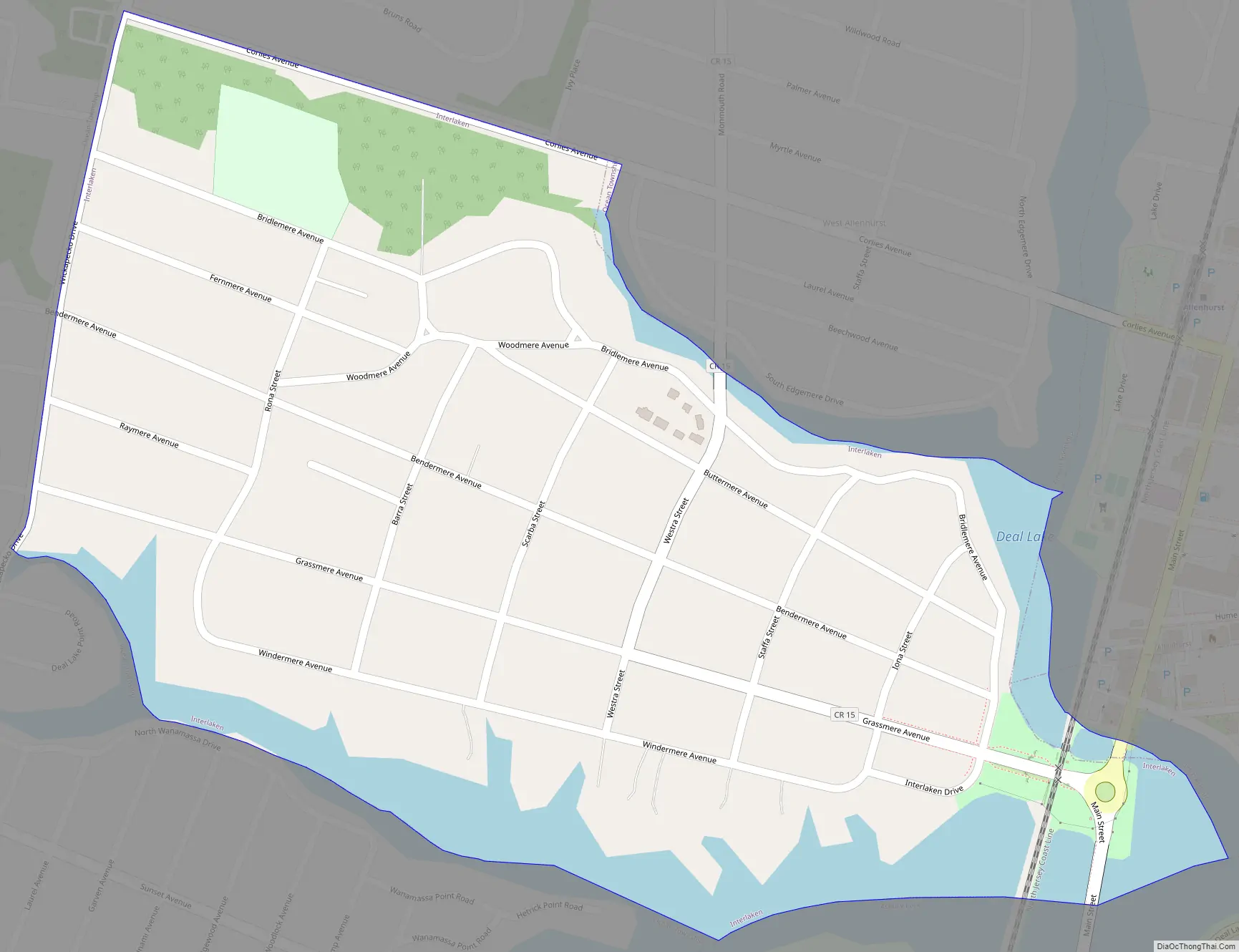
Interlaken Road Map
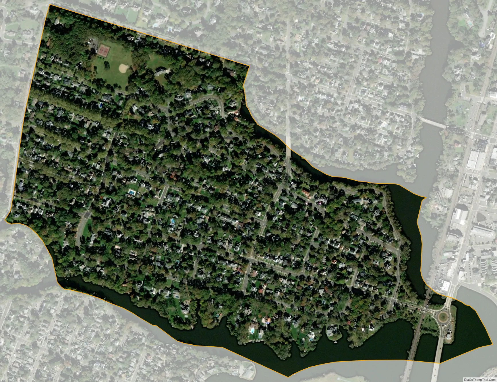
Interlaken city Satellite Map
Geography
According to the United States Census Bureau, the borough had a total area of 0.39 square miles (1.01 km), including 0.33 square miles (0.86 km) of land and 0.06 square miles (0.15 km) of water (14.62%).
The borough borders the Monmouth County community of Allenhurst, Asbury Park, Loch Arbour and Ocean Township.
Deal Lake covers 158 acres (64 ha) and is overseen by the Deal Lake Commission, which was established in 1974. Seven municipalities border the lake, accounting for 27 miles (43 km) of shoreline, also including Allenhurst, Asbury Park, Deal, Loch Arbour, Neptune Township and Ocean Township.
See also
Map of New Jersey State and its subdivision: Map of other states:- Alabama
- Alaska
- Arizona
- Arkansas
- California
- Colorado
- Connecticut
- Delaware
- District of Columbia
- Florida
- Georgia
- Hawaii
- Idaho
- Illinois
- Indiana
- Iowa
- Kansas
- Kentucky
- Louisiana
- Maine
- Maryland
- Massachusetts
- Michigan
- Minnesota
- Mississippi
- Missouri
- Montana
- Nebraska
- Nevada
- New Hampshire
- New Jersey
- New Mexico
- New York
- North Carolina
- North Dakota
- Ohio
- Oklahoma
- Oregon
- Pennsylvania
- Rhode Island
- South Carolina
- South Dakota
- Tennessee
- Texas
- Utah
- Vermont
- Virginia
- Washington
- West Virginia
- Wisconsin
- Wyoming


