Loch Arbour is a village situated on the Jersey Shore in Monmouth County, in the U.S. state of New Jersey. As of the 2020 United States census, the village’s population was 224, an increase of 30 (+15.5%) from the 2010 census count of 194, which had in turn reflected a decline of 86 (−30.7%) from the 280 recorded at the 2000 census.
In 2020, Loch Arbour was the third-smallest municipality in New Jersey in terms of area (behind Shrewsbury Township and East Newark) and was the fifth-smallest municipality by population in the state of New Jersey. Based on data from the New Jersey Department of Environmental Protection, the borough is the third-smallest municipality in the state.
| Name: | Loch Arbour village |
|---|---|
| LSAD Code: | 47 |
| LSAD Description: | village (suffix) |
| State: | New Jersey |
| County: | Monmouth County |
| Incorporated: | April 23, 1957 |
| Elevation: | 10 ft (3 m) |
| Total Area: | 0.13 sq mi (0.35 km²) |
| Land Area: | 0.09 sq mi (0.22 km²) |
| Water Area: | 0.05 sq mi (0.12 km²) 36.15% |
| Total Population: | 224 |
| Population Density: | 2,581.6/sq mi (996.8/km²) |
| ZIP code: | 07711 |
| Area code: | 732 exchanges: 517, 531, 660, 663 |
| FIPS code: | 3441010 |
| GNISfeature ID: | 0885283 |
| Website: | www.locharbournj.us |
Online Interactive Map
Click on ![]() to view map in "full screen" mode.
to view map in "full screen" mode.
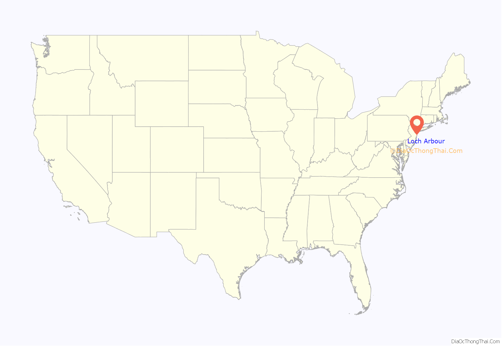
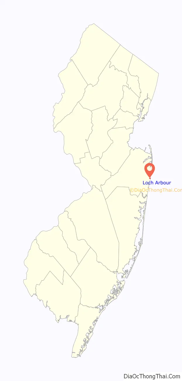
Loch Arbour location map. Where is Loch Arbour village?
History
Loch Arbour was incorporated as a village by an act of the New Jersey Legislature on April 23, 1957, from portions of Ocean Township, based on the results of a referendum held that same day. The borough was named after Lochaber, Scotland.
Its formation was driven by efforts to build beachfront condominiums in the area. Residents who sought to prevent the development led the secession, taking with them the last portion of oceanfront property in what The New York Times described as “the now ironically-named Ocean Township.”
In 1997, Loch Arbour voters rejected a ballot proposal that would have it merge back into Ocean Township by an 88–69 margin, and proposals to merge with Allenhurst or Interlaken failed by a nearly 10–1 margin.
A ballot proposal in 2011 again considered a merger with Allenhurst, citing a potential reduction in property taxes for residents. In 2012, Loch Arbour officials held discussions with their counterparts in Allenhurst towards a plan in which the two municipalities would merge, subject to approval by the councils of both communities and approval of a referendum by voters in both Loch Arbour and Allenhurst. The merger drive was driven by property taxes paid to the Ocean Township School District, a relationship that would be ended by the merger, under which the combined municipality would send students at lower cost to the Asbury Park Public Schools.
While there are four municipalities that retain the Village type of government (Loch Arbour, Ridgefield Park, Ridgewood and South Orange), none of them still use the Village form of government. Loch Arbour was the last to do so, but on December 20, 2011, its residents voted to change from having a form with five village trustees to the Walsh Act form of government, under which Loch Arbour is governed by a three-member board of commissioners.
In 1892, James J. Corbett set up his training camp in Loch Arbour for the bout with John L. Sullivan in which Corbett won the world heavyweight boxing championship.
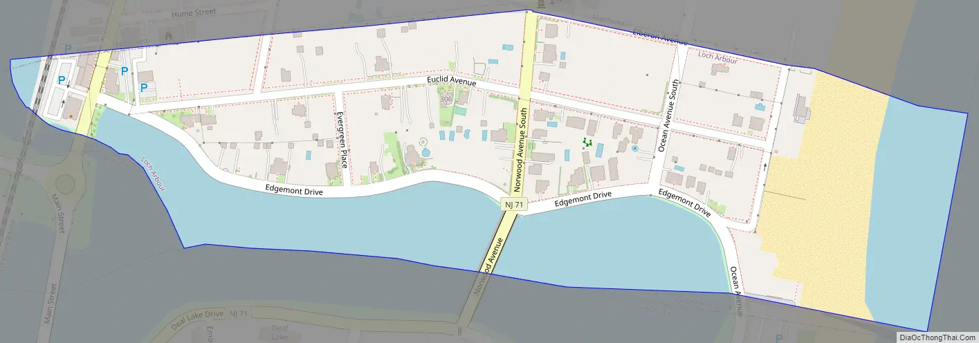
Loch Arbour Road Map
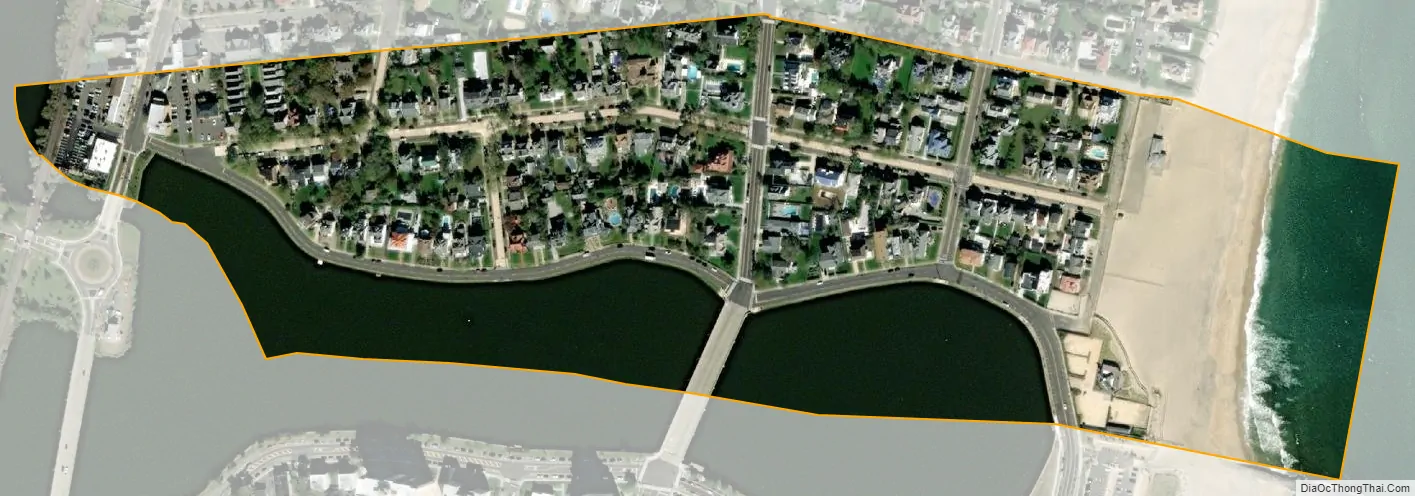
Loch Arbour city Satellite Map
Geography
According to the United States Census Bureau, the village had a total area of 0.13 square miles (0.35 km), including 0.09 square miles (0.22 km) of land and 0.05 square miles (0.12 km) of water (36.15%).
The village is located along the Atlantic Ocean in eastern Monmouth County and is bordered to the north by the Borough of Allenhurst, to the west by the borough of Interlaken and to the south by the City of Asbury Park.
Deal Lake covers 158 acres (64 ha) which is overseen by the Deal Lake Commission, which was established in 1974. Seven municipalities border the lake, accounting for 27 miles (43 km) of shoreline, including Allenhurst, Asbury Park, Deal, Interlaken, Neptune Township and Ocean Township.
See also
Map of New Jersey State and its subdivision: Map of other states:- Alabama
- Alaska
- Arizona
- Arkansas
- California
- Colorado
- Connecticut
- Delaware
- District of Columbia
- Florida
- Georgia
- Hawaii
- Idaho
- Illinois
- Indiana
- Iowa
- Kansas
- Kentucky
- Louisiana
- Maine
- Maryland
- Massachusetts
- Michigan
- Minnesota
- Mississippi
- Missouri
- Montana
- Nebraska
- Nevada
- New Hampshire
- New Jersey
- New Mexico
- New York
- North Carolina
- North Dakota
- Ohio
- Oklahoma
- Oregon
- Pennsylvania
- Rhode Island
- South Carolina
- South Dakota
- Tennessee
- Texas
- Utah
- Vermont
- Virginia
- Washington
- West Virginia
- Wisconsin
- Wyoming


