Ridgefield Park is a village in Bergen County, in the U.S. state of New Jersey. As of the 2020 United States census, the village’s population was 13,224, an increase of 495 (+3.9%) from the 2010 census count of 12,729, which in turn reflected a decline of 144 (−1.1%) from the 12,873 counted in the 2000 census. Of the 564 municipalities in the state, Ridgefield Park is one of only four with a village type of government, though it operates a Walsh Act (city commission) form of government. Of the four New Jersey villages, Loch Arbour also uses the commission form of government, while Ridgewood operates under the council-manager form, and the Township of South Orange Village operates under a special charter form with many characteristics of village government.
Ridgefield Park was formed as a village on June 15, 1892, within Ridgefield Township, based on the results of a referendum passed on June 6, 1892. Overpeck Township was formed on March 23, 1897, to be coextensive with Ridgefield Park village, and was created within Ridgefield Township for the purpose of administering a Board of Education. Portions of the village gained in both 1921 and 1926 were taken from Bogota and Teaneck. On May 31, 1938, Overpeck Township became Ridgefield Park Township. The village was named for the area’s terrain.
The village’s Fourth of July Parade, first established in 1894, is said to be the longest continuously celebrated such event in New Jersey and one of the oldest in the country. The village eliminated its July 4 fireworks in 2009, citing the $50,000 cost in the face of the difficult economy, but committed to retain its parade.
| Name: | Ridgefield Park village |
|---|---|
| LSAD Code: | 47 |
| LSAD Description: | village (suffix) |
| State: | New Jersey |
| County: | Bergen County |
| Incorporated: | June 15, 1892 |
| Elevation: | 56 ft (17 m) |
| Total Area: | 1.91 sq mi (4.95 km²) |
| Land Area: | 1.71 sq mi (4.42 km²) |
| Water Area: | 0.21 sq mi (0.54 km²) 10.84% |
| Total Population: | 13,224 |
| Population Density: | 7,756.0/sq mi (2,994.6/km²) |
| ZIP code: | 07660 |
| Area code: | 201 |
| FIPS code: | 3462940 |
| GNISfeature ID: | 0885368 |
| Website: | www.ridgefieldpark.org |
Online Interactive Map
Click on ![]() to view map in "full screen" mode.
to view map in "full screen" mode.
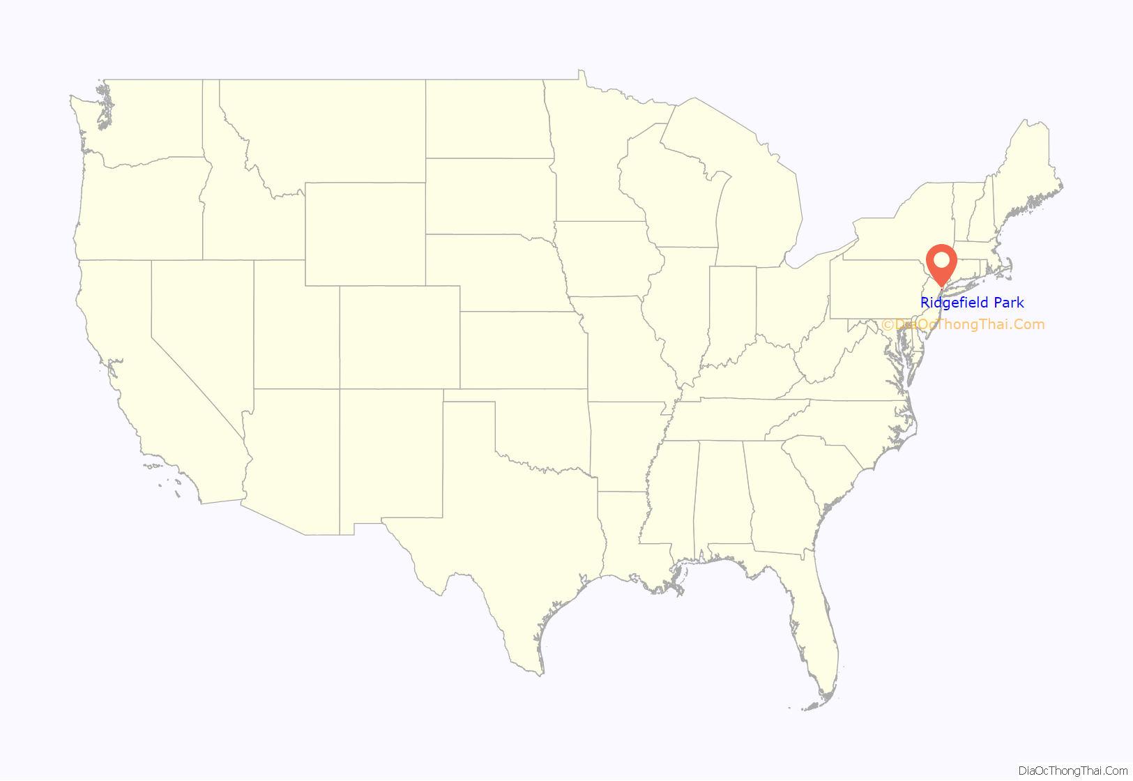
Ridgefield Park location map. Where is Ridgefield Park village?
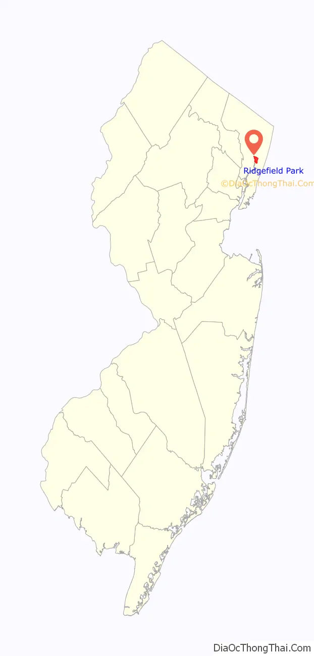
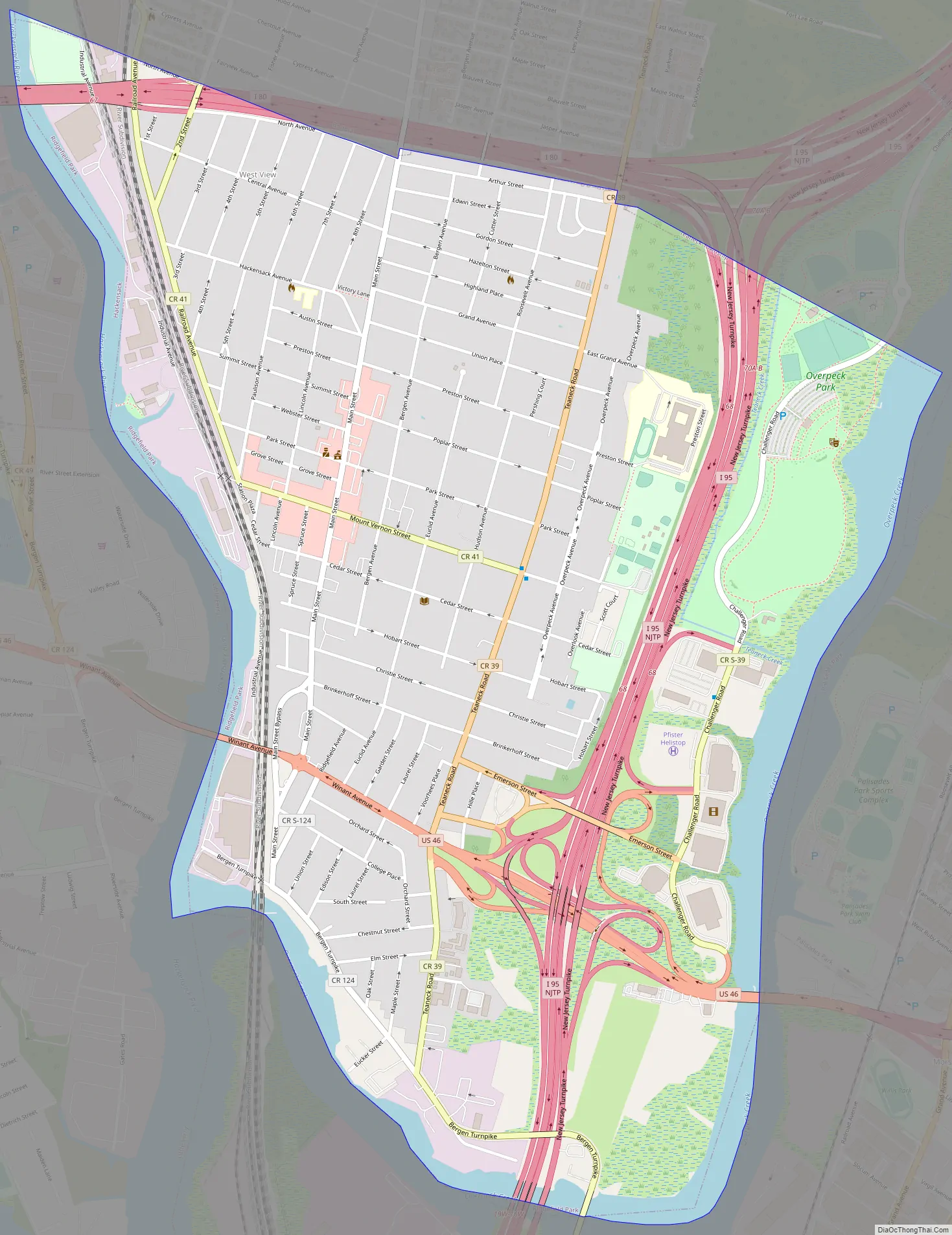
Ridgefield Park Road Map
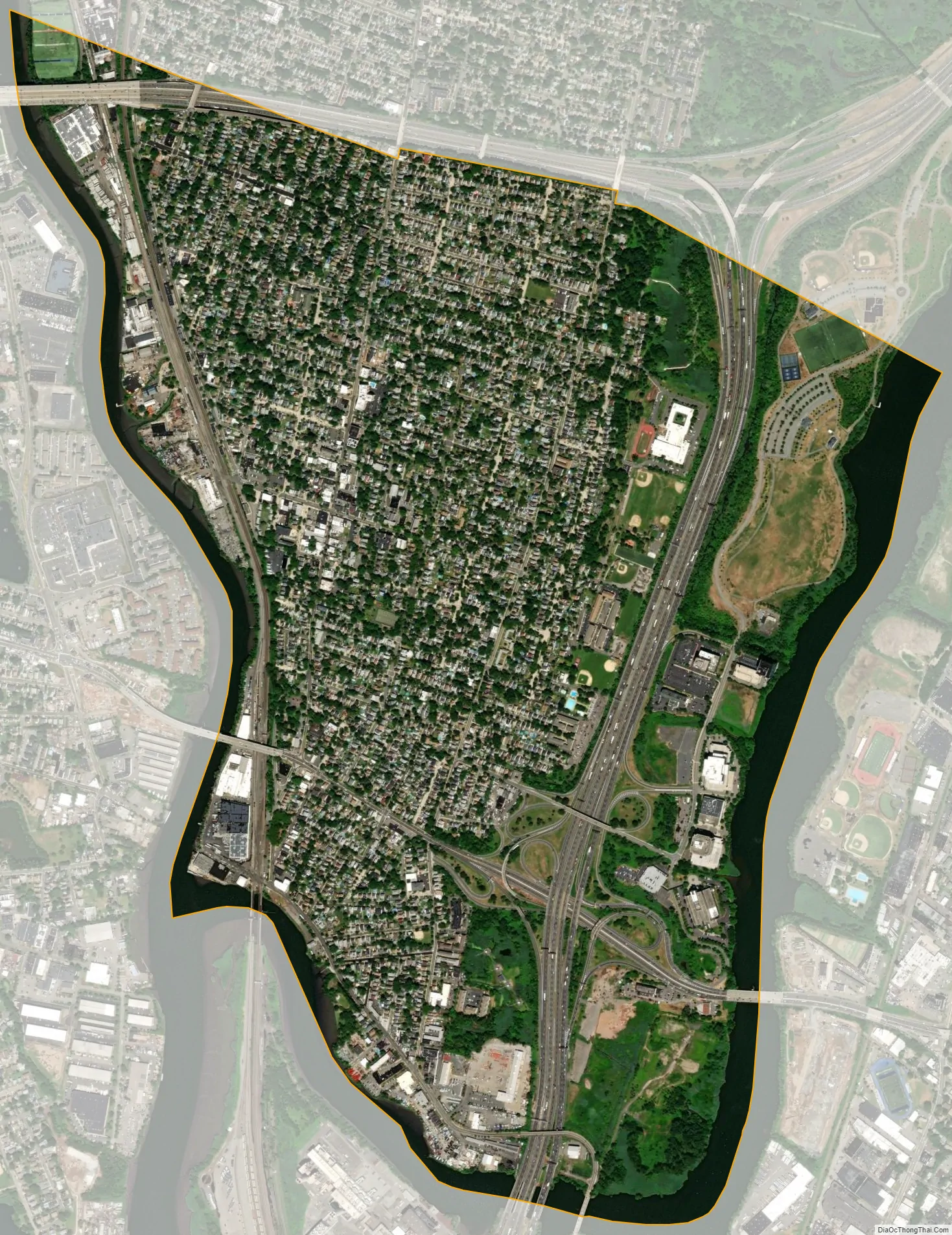
Ridgefield Park city Satellite Map
Geography
According to the United States Census Bureau, the village had a total area of 1.91 square miles (4.9 km), including 1.71 square miles (4.4 km) of land and 0.21 square miles (0.54 km) of water (10.84%).
The village borders the Bergen County municipalities of Bogota, Hackensack, Leonia, Little Ferry, Palisades Park, Ridgefield and Teaneck.
Unincorporated communities, localities and place names located partially or completely within the village include Overpeck and West View.
See also
Map of New Jersey State and its subdivision: Map of other states:- Alabama
- Alaska
- Arizona
- Arkansas
- California
- Colorado
- Connecticut
- Delaware
- District of Columbia
- Florida
- Georgia
- Hawaii
- Idaho
- Illinois
- Indiana
- Iowa
- Kansas
- Kentucky
- Louisiana
- Maine
- Maryland
- Massachusetts
- Michigan
- Minnesota
- Mississippi
- Missouri
- Montana
- Nebraska
- Nevada
- New Hampshire
- New Jersey
- New Mexico
- New York
- North Carolina
- North Dakota
- Ohio
- Oklahoma
- Oregon
- Pennsylvania
- Rhode Island
- South Carolina
- South Dakota
- Tennessee
- Texas
- Utah
- Vermont
- Virginia
- Washington
- West Virginia
- Wisconsin
- Wyoming


