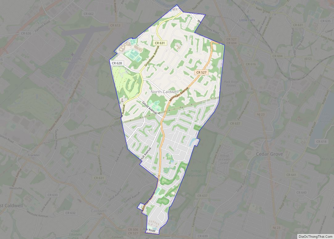
North Caldwell is a borough in northwestern Essex County, in the U.S. state of New Jersey, and a suburb of New York City. As of the 2020 United States census, the borough’s population was 6,694, an increase of 511 (+8.3%) from the 2010 census count of 6,183, which in turn reflected a decline of 1,192 (−16.2%) from the 7,375 counted in the 2000 census.
North Caldwell was incorporated by an act of the New Jersey Legislature on March 31, 1898, from portions of Caldwell Township (now known as Fairfield Township). The borough derives its name from Presbyterian minister James Caldwell.
New Jersey Monthly magazine ranked North Caldwell as its 10th best place to live in its 2010 rankings of the “Best Places To Live” in New Jersey, as well as the 3rd best place to live in its 2013 ranking. In 2017, a Bloomberg analysis ranked North Caldwell the 34th richest town in the United States.
| Name: | North Caldwell borough |
|---|---|
| LSAD Code: | 21 |
| LSAD Description: | borough (suffix) |
| State: | New Jersey |
| County: | Essex County |
| Incorporated: | March 31, 1898 |
| Elevation: | 420 ft (130 m) |
| Total Area: | 3.07 sq mi (7.96 km²) |
| Land Area: | 3.07 sq mi (7.95 km²) |
| Water Area: | 0.01 sq mi (0.01 km²) 0.16% |
| Total Population: | 6,694 |
| Population Density: | 2,182.0/sq mi (842.5/km²) |
| ZIP code: | 07006 – Caldwell |
| Area code: | 201 and 973 |
| FIPS code: | 3452620 |
| GNISfeature ID: | 0878839 |
| Website: | www.northcaldwell.org |
Online Interactive Map
Click on ![]() to view map in "full screen" mode.
to view map in "full screen" mode.
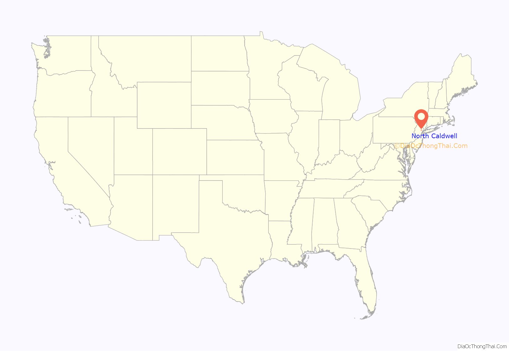
North Caldwell location map. Where is North Caldwell borough?
History
North Caldwell was part of the Horseneck Tract, which was an area that consisted of what are now the municipalities of Caldwell, West Caldwell, North Caldwell, Fairfield, Verona, Cedar Grove, Essex Fells, Roseland, and portions of Livingston and West Orange. In 1702, settlers purchased the 14,000 acres (57 km) from the Lenape Native Americans for goods equal to $325. The explanation for the name “Horse Neck” lies in the language of its first Dutch settlers and not (as has been inaccurately reported) because of its irregular shape. This purchase encompassed much of western Essex County, from the First Mountain to the Passaic River.
In 1982, the borough was one of four Essex County municipalities to pass a referendum to become a township, joining 11 municipalities that had already made the change. Ultimately, more than a dozen Essex County municipalities reclassified themselves as townships in order take advantage of federal revenue sharing policies that allocated townships a greater share of government aid to municipalities on a per capita basis. Effective January 1, 1992, it again became a borough.
The borough housed the Essex County Penitentiary, constructed in 1872 and used as the Essex County Jail Annex until 2004. It was sold to K. Hovnanian Companies in 2002, which redeveloped the site into a residential community.
In 1994, the “Unabomber”, Theodore Kaczynski, sent a mail bomb that killed Thomas J. Mosser, an advertising executive who lived in the borough.
North Caldwell Road Map
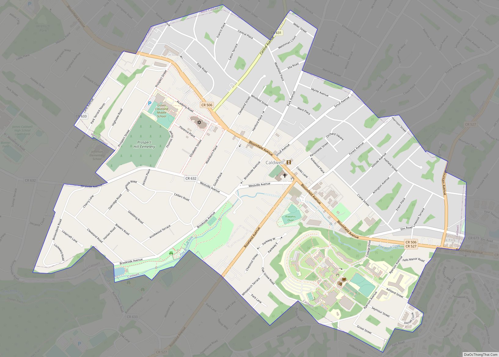
North Caldwell city Satellite Map
Geography
According to the United States Census Bureau, the borough had a total area of 3.07 square miles (7.96 km), including 3.07 square miles (7.95 km) of land and 0.01 square miles (0.01 km) of water (0.16%). The highest point in Essex County is located in the Hilltop of North Caldwell at 691 feet (211 m).
The borough is bordered by the municipalities of Caldwell, Cedar Grove, Essex Fells, Fairfield Township, Verona and West Caldwell in Essex County; and Little Falls and Wayne in Passaic County.
See also
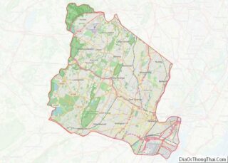
Map of New Jersey State and its subdivision: Map of other states:- Alabama
- Alaska
- Arizona
- Arkansas
- California
- Colorado
- Connecticut
- Delaware
- District of Columbia
- Florida
- Georgia
- Hawaii
- Idaho
- Illinois
- Indiana
- Iowa
- Kansas
- Kentucky
- Louisiana
- Maine
- Maryland
- Massachusetts
- Michigan
- Minnesota
- Mississippi
- Missouri
- Montana
- Nebraska
- Nevada
- New Hampshire
- New Jersey
- New Mexico
- New York
- North Carolina
- North Dakota
- Ohio
- Oklahoma
- Oregon
- Pennsylvania
- Rhode Island
- South Carolina
- South Dakota
- Tennessee
- Texas
- Utah
- Vermont
- Virginia
- Washington
- West Virginia
- Wisconsin
- Wyoming
