Sea Bright is a borough situated on the Jersey Shore, within Monmouth County, in the U.S. state of New Jersey. As of the 2020 United States census, the borough’s population was 1,449, an increase of 37 (+2.6%) from the 2010 census count of 1,412, which in turn had reflected a decline of 406 (−22.3%) from the 1,818 counted at the 2000 census.
Sea Bright was formed as a borough by an act of the New Jersey Legislature on March 21, 1889, from portions of Ocean Township, based on the results of a referendum held the previous day. The borough was reincorporated on March 10, 1897. Additional portions of Ocean Township were annexed by the borough in March 1909.
Some sources attribute the name to a suggestion made by Martha Bayard Stevens, The borough and other sources say that the borough was named for Sea Bright, England, though there is no evidence such a place exists. Earlier sources often spell it as one word, “Seabright”, as seen in the United States Coast Guard’s Station Seabright and the Seabright Lawn Tennis and Cricket Club.
| Name: | Sea Bright borough |
|---|---|
| LSAD Code: | 21 |
| LSAD Description: | borough (suffix) |
| State: | New Jersey |
| County: | Monmouth County |
| Incorporated: | March 21, 1889 |
| Elevation: | 3 ft (0.9 m) |
| Total Area: | 1.29 sq mi (3.33 km²) |
| Land Area: | 0.72 sq mi (1.86 km²) |
| Water Area: | 0.57 sq mi (1.47 km²) 43.88% |
| Total Population: | 1,449 |
| Population Density: | 2,013.1/sq mi (777.3/km²) |
| ZIP code: | 07760 |
| Area code: | 732 |
| FIPS code: | 3466240 |
| GNISfeature ID: | 0885387 |
| Website: | www.seabrightnj.org |
Online Interactive Map
Click on ![]() to view map in "full screen" mode.
to view map in "full screen" mode.
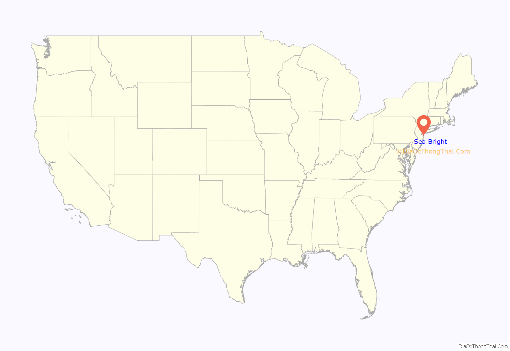
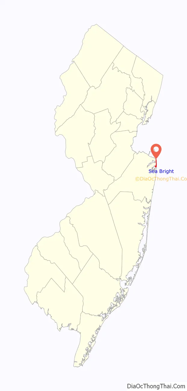
Sea Bright location map. Where is Sea Bright borough?
History
In the early 1840s, the area of present-day Sea Bright was a fishing community of simple shacks near the beach dunes; Ocean House, the area’s first hotel, opened in 1842, featuring access to fishing and sea bathing. The area was called “Nauvoo”, a Native American word, meaning “bright sea”. An alternative explanation, which the borough credits as the source, is that the name is derived from the Hebrew language meaning “pleasant place,” which was the same name that Mormon leader Joseph Smith gave to Nauvoo, the Illinois town he founded in 1839. Smith is said to have visited Monmouth County during a missionary journey in 1840.
The first bridge across the Shrewsbury River connecting Sea Bright to Rumson was constructed in 1870. After several iterations of the bridge, Monmouth County has announced plans for a replacement of the existing span built in 1950 that connects to Ocean Avenue in Sea Bright with a new bridge that would be completed in 2020 at a site south of the current crossing.
The Sea Bright Skiff was developed on the Jersey Shore in the early 19th century for fishing offshore, by being launched through the surf and returned to shore.
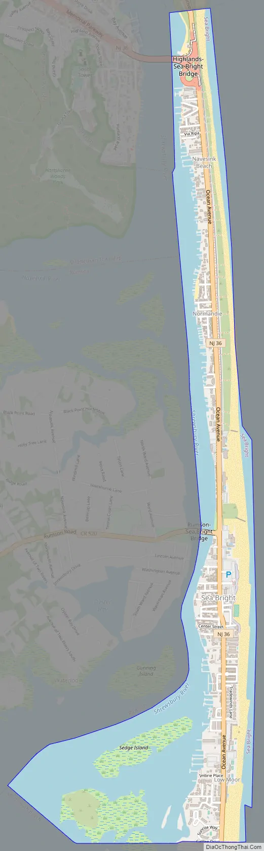
Sea Bright Road Map
Sea Bright city Satellite Map
Geography
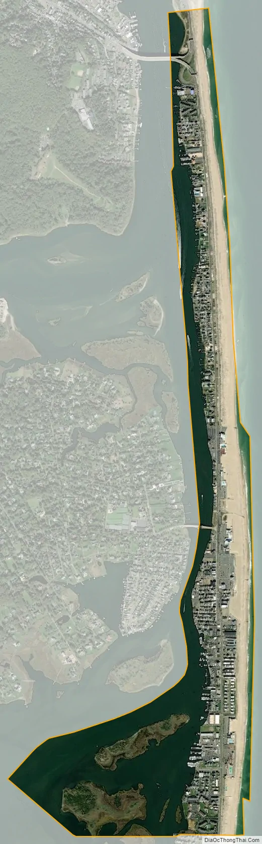
According to the United States Census Bureau, the borough had a total area of 1.29 square miles (3.33 km), including 0.72 square miles (1.86 km) of land and 0.57 square miles (1.47 km) of water (43.88%).
Sea Bright has seven members-only beach clubs, of which five are in the North Beach area: Ship Ahoy, Sands, Surfrider, Sea Bright Beach Club and Chapel Beach Club; and two are south of the center of town: Driftwood and Edgewater. These clubs charge thousands of dollars for membership and have waiting lists of several years for prospective members. In addition, there is a large public, municipal beach in the center of town, protected by lifeguards, with entry limited to those who have purchased a beach badge. The traditional surfing beach area, called the Anchorage, is free and public, but unguarded. In addition, there are numerous public access stairs to other unguarded beaches for fishing, recreation and suntanning.
Unincorporated communities, localities and place names within Sea Bright include Low Moor, Navesink Beach and Normandie. Sea Bright–Monmouth Beach Seawall runs the length of the town.
The borough borders the Monmouth County municipalities of Highlands, Middletown Township, Monmouth Beach and Rumson. Sea Bright is located on the barrier peninsula that separates the Atlantic Ocean from the Navesink and Shrewsbury rivers.
See also
Map of New Jersey State and its subdivision: Map of other states:- Alabama
- Alaska
- Arizona
- Arkansas
- California
- Colorado
- Connecticut
- Delaware
- District of Columbia
- Florida
- Georgia
- Hawaii
- Idaho
- Illinois
- Indiana
- Iowa
- Kansas
- Kentucky
- Louisiana
- Maine
- Maryland
- Massachusetts
- Michigan
- Minnesota
- Mississippi
- Missouri
- Montana
- Nebraska
- Nevada
- New Hampshire
- New Jersey
- New Mexico
- New York
- North Carolina
- North Dakota
- Ohio
- Oklahoma
- Oregon
- Pennsylvania
- Rhode Island
- South Carolina
- South Dakota
- Tennessee
- Texas
- Utah
- Vermont
- Virginia
- Washington
- West Virginia
- Wisconsin
- Wyoming


