Singac (pronounced SING-ack) is an unincorporated community and census-designated place (CDP) located within Little Falls Township, in Passaic County, New Jersey, United States. As of the 2010 United States Census, the CDP’s population was 3,618.
| Name: | Singac CDP |
|---|---|
| LSAD Code: | 57 |
| LSAD Description: | CDP (suffix) |
| State: | New Jersey |
| County: | Passaic County |
| Elevation: | 167 ft (51 m) |
| Total Area: | 0.49 sq mi (1.27 km²) |
| Land Area: | 0.46 sq mi (1.19 km²) |
| Water Area: | 0.03 sq mi (0.08 km²) 6.34% |
| Total Population: | 3,602 |
| Population Density: | 7,847.49/sq mi (3,027.39/km²) |
| ZIP code: | 07424 |
| Area code: | 862/973 |
| FIPS code: | 3467770 |
| GNISfeature ID: | 02584027 |
Online Interactive Map
Click on ![]() to view map in "full screen" mode.
to view map in "full screen" mode.
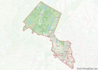
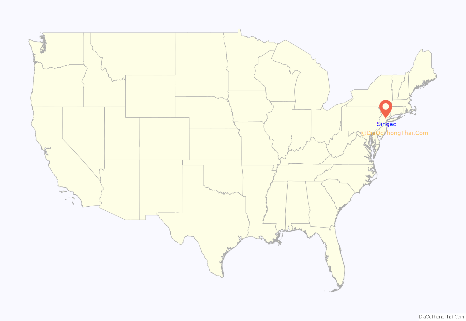
Singac location map. Where is Singac CDP?
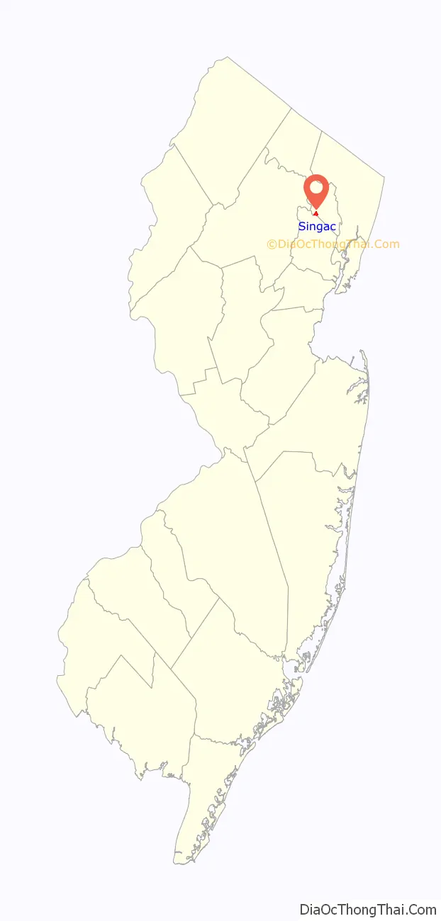
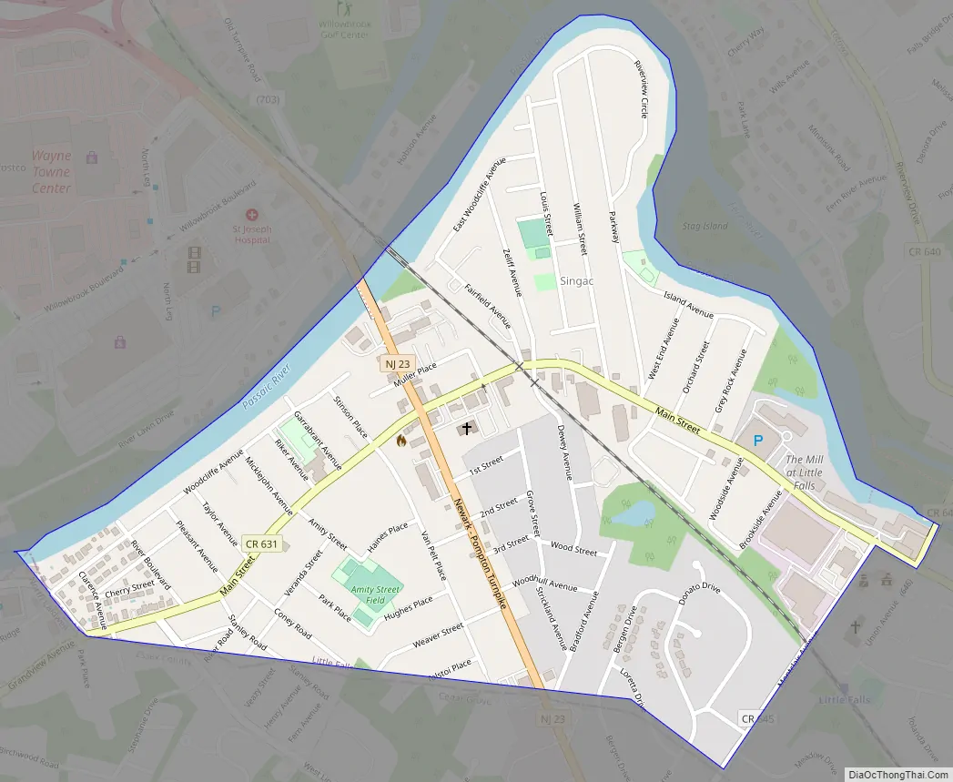
Singac Road Map
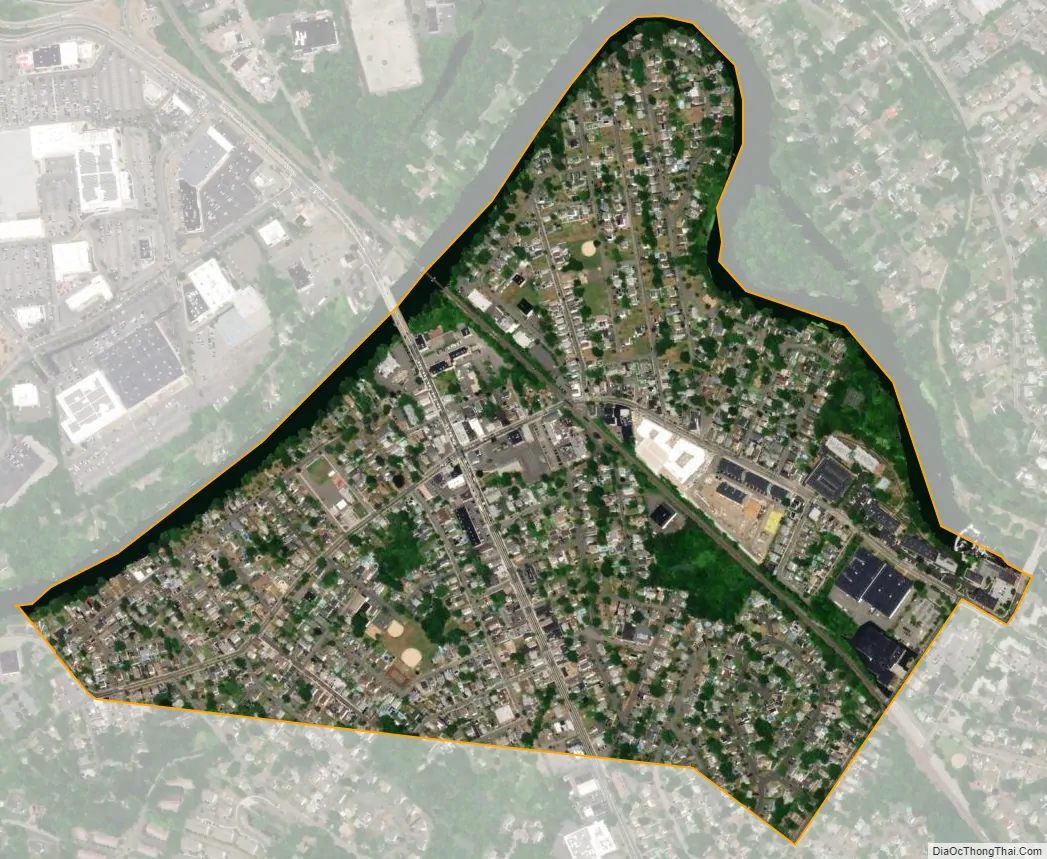
Singac city Satellite Map
Geography
According to the United States Census Bureau, the CDP had a total area of 0.498 square miles (1.289 km), including 0.466 square miles (1.207 km) of land and 0.032 square miles (0.082 km) of water (6.34%).
Singac is a neighborhood in the western end of Little Falls Township. It is bounded to the north by the Passaic River. New Jersey Route 23, known as the Newark-Pompton Turnpike or Pompton Avenue, runs north-south through the community.
See also
Map of New Jersey State and its subdivision: Map of other states:- Alabama
- Alaska
- Arizona
- Arkansas
- California
- Colorado
- Connecticut
- Delaware
- District of Columbia
- Florida
- Georgia
- Hawaii
- Idaho
- Illinois
- Indiana
- Iowa
- Kansas
- Kentucky
- Louisiana
- Maine
- Maryland
- Massachusetts
- Michigan
- Minnesota
- Mississippi
- Missouri
- Montana
- Nebraska
- Nevada
- New Hampshire
- New Jersey
- New Mexico
- New York
- North Carolina
- North Dakota
- Ohio
- Oklahoma
- Oregon
- Pennsylvania
- Rhode Island
- South Carolina
- South Dakota
- Tennessee
- Texas
- Utah
- Vermont
- Virginia
- Washington
- West Virginia
- Wisconsin
- Wyoming