Reno (/ˈriːnoʊ/ REE-noh) is a city in the northwest section of the U.S. state of Nevada, along the Nevada-California border, about 22 miles (35 km) north from Lake Tahoe, known as “The Biggest Little City in the World”. Known for its casino and tourism industry, Reno is the county seat and largest city of Washoe County and sits in the High Eastern Sierra foothills, in the Truckee River valley, on the eastern side of the Sierra Nevada. The Reno metro area (along with the neighboring city Sparks) occupies a valley colloquially known as the Truckee Meadows which because of large-scale investments from Greater Seattle and San Francisco Bay Area companies such as Amazon, Tesla, Panasonic, Microsoft, Apple, and Google has become a new major technology center in the United States.
The city is named after Civil War Union Major General Jesse L. Reno, who was killed in action during the American Civil War at the Battle of South Mountain, on Fox’s Gap.
Reno is part of the Reno–Sparks metropolitan area, the second-most populous metropolitan area in Nevada after the Las Vegas Valley. Known as Greater Reno, it includes Washoe, Storey, Lyon Counties, the independent city and state capital, Carson City, as well as parts of Placer and Nevada Counties in California. The city proper had a population of 264,165 at the 2020 census, making it the third-largest city in Nevada, behind Las Vegas and Henderson.
| Name: | Reno city |
|---|---|
| LSAD Code: | 25 |
| LSAD Description: | city (suffix) |
| State: | Nevada |
| County: | Washoe County |
| Founded: | May 9, 1868; 155 years ago (1868-05-09) |
| Incorporated: | March 16, 1903; 120 years ago (1903-03-16) |
| Elevation: | 4,505 ft (1,373 m) |
| Land Area: | 108.86 sq mi (281.96 km²) |
| Water Area: | 2.83 sq mi (7.34 km²) |
| Population Density: | 2,426.54/sq mi (936.89/km²) |
| Area code: | 775 |
| FIPS code: | 3260600 |
| GNISfeature ID: | 0861100 |
| Website: | reno.gov |
Explore Reno, Nevada with this detailed map. It features highways, roads, and attractions in the city. Discover the best things to do in Reno, Nevada and plan your perfect trip with this interactive map by Google Maps.
Online Interactive Map
Click on ![]() to view map in "full screen" mode.
to view map in "full screen" mode.
This map offers quick and easy navigation of the city of Reno, Nevada. It includes information on restaurants, hotels, shopping locations, and more. Not only will this map help you plan your itinerary, but it will also make the most of your time by showing you how to get there. This interactive road map will help you find your way around the city of Reno. One click on the map and you will see the area and attractions are within your reach.
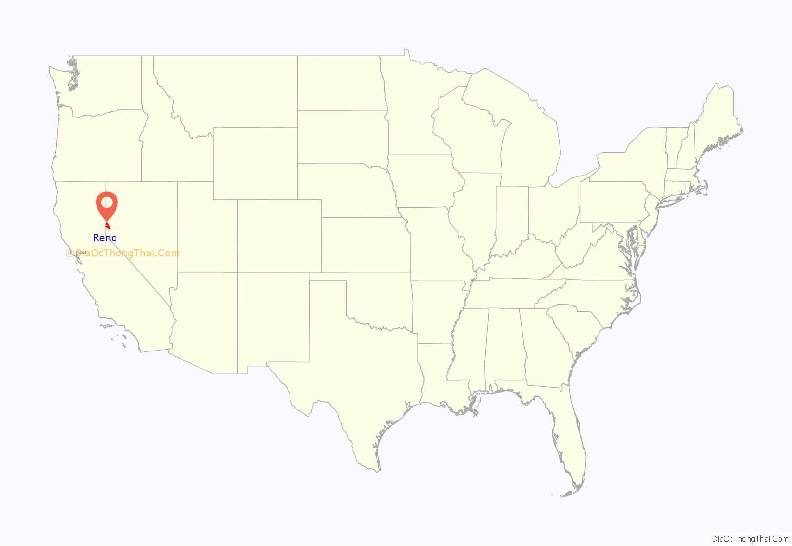
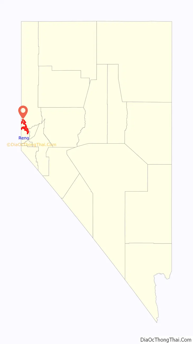
Reno location map. Where is Reno city?
History
Archaeological finds place the eastern border for the prehistoric Martis people in the Reno area. As early as the mid-1850s, a few pioneers settled in the Truckee Meadows, a relatively fertile valley through which the Truckee River made its way from Lake Tahoe to Pyramid Lake. In addition to subsistence farming, these early residents could pick up business from travelers along the California Trail, which followed the Truckee westward, before branching off towards Donner Lake, where the formidable obstacle of the Sierra Nevada began.
Gold was discovered in the vicinity of Virginia City in 1850, and a modest mining community developed, but the discovery of silver in 1859 at the Comstock Lode led to a mining rush, and thousands of emigrants left their homes, bound for the West, hoping to find a fortune.
To provide the necessary connection between Virginia City and the California Trail, Charles W. Fuller built a log toll bridge across the Truckee River in 1859. A small community that served travelers soon grew near the bridge. After two years, Fuller sold the bridge to Myron C. Lake, who continued to develop the community by adding a grist mill, kiln, and livery stable to the hotel and eating house. He renamed it “Lake’s Crossing”. Most of what is present-day western Nevada was formed as the Nevada Territory from part of Utah Territory in 1861.
By January 1863, the Central Pacific Railroad (CPRR) had begun laying tracks east from Sacramento, California, eventually connecting with the Union Pacific Railroad at Promontory, Utah, to form the First transcontinental railroad. Lake deeded land to the CPRR in exchange for its promise to build a depot at Lake’s Crossing. In 1864, Washoe County was consolidated with Roop County, and Lake’s Crossing became the county’s largest town. Lake had earned himself the title “founder of Reno”. Once the railroad station was established, the town of Reno officially came into being on May 9, 1868. CPRR construction superintendent Charles Crocker named the community after Major General Jesse Lee Reno, a Union officer killed in the Civil War at the Battle of South Mountain.
In 1871, Reno became the county seat of the newly expanded Washoe County, replacing the county seat in Washoe City. However, political power in Nevada remained with the mining communities, first Virginia City and later Tonopah and Goldfield.
The extension of the Virginia and Truckee Railroad to Reno in 1872 provided a boost to the new city’s economy. In the following decades, Reno continued to grow and prosper as a business and agricultural center and became the principal settlement on the transcontinental railroad between Sacramento and Salt Lake City. As the mining boom waned early in the 20th century, Nevada’s centers of political and business activity shifted to the nonmining communities, especially Reno and Las Vegas. Nevada is still the third-largest gold producer in the world, after South Africa and Australia; the state yielded 6.9% of the world’s supply in 2005 world gold production.
The Reno Arch was erected on Virginia Street in 1926 to promote the upcoming Transcontinental Highways Exposition of 1927. The arch included the words “Nevada’s Transcontinental Highways Exposition” and the dates of the exposition. After the exposition, the Reno City Council decided to keep the arch as a permanent downtown gateway, and Mayor E.E. Roberts asked the citizens of Reno to suggest a slogan for the arch. No acceptable slogan was received until a $100 prize was offered, and G.A. Burns of Sacramento was declared the winner on March 14, 1929, with “Reno, the Biggest Little City in the World”.
Reno took a leap forward when the state of Nevada legalized open gambling on March 19, 1931, along with the passage of even more liberal divorce laws than places such as Hot Springs, Arkansas, offered. The statewide push for legal Nevada gaming was led by Reno entrepreneur Bill Graham, who owned the Bank Club Casino in Reno, which was on Center Street. No other state offered legalized casino gaming like Nevada had in the 1930s, and casinos such as the Bank Club and Palace were popular. A few states had legal parimutuel horse racing, but no other state had legal casino gambling. The new divorce laws, passed in 1927, allowed people to divorce each other after six weeks of residency, instead of six months. People wishing to divorce stayed in hotels, houses, and/or dude ranches. Many local businesses in Reno started catering to these visitors, such as R. Herz & Bro, a jewelry store that offered ring resetting services to the recently divorced to El Cortez Hotel, which was built specifically to cater to the high number of wedded couples seeking divorces in Nevada. Most people left Nevada when their divorces were finalized.
Within a few years, the Bank Club, owned by George Wingfield, Bill Graham, and Jim McKay, was the state’s largest employer and the largest casino in the world. Wingfield owned most of the buildings in town that housed gaming and took a percentage of the profits, along with his rent.
Ernie Pyle once wrote in one of his columns, “All the people you saw on the streets in Reno were obviously there to get divorces.” In Ayn Rand’s novel The Fountainhead, published in 1943, the New York-based female protagonist tells a friend, “I am going to Reno,” which is taken as a different way of saying “I am going to divorce my husband.” Among others, Belgian-French writer Georges Simenon, at the time living in the U.S., came to Reno in 1950 to divorce his first wife.
The divorce business eventually died after about 1970, as the other states fell in line by passing their own laws easing the requirements for divorce, but gambling continued as a major Reno industry. While gaming pioneers such as “Pappy” and Harold Smith of Harold’s Club and Bill Harrah of the soon-to-dominate Harrah’s Casino set up shop in the 1930s, the war years of the 1940s cemented Reno as the place to play for two decades. Beginning in the 1950s, the need for economic diversification beyond gaming fueled a movement for more lenient business taxation.
At 1:03 pm, on February 5, 1957, two explosions, caused by natural gas leaking into the maze of pipes and ditches under the city, and an ensuing fire, destroyed five buildings in the vicinity of Sierra and First Streets along the Truckee River. The disaster killed two people and injured 49. The first explosion hit under the block of shops on the west side of Sierra Street (now the site of the Century Riverside), the second, across Sierra Street, now the site of the Palladio.
The presence of a main east–west rail line, the emerging interstate highway system, favorable state tax climate, and relatively inexpensive land created good conditions for warehousing and distribution of goods.
In the 1980s, Indian gaming rules were relaxed, and starting in 2000, Californian Native casinos began to cut into Reno casino revenues. Major new construction projects have been completed in the Reno and Sparks areas. A few new luxury communities were built in Truckee, California, about 28 miles (45 km) west of Reno on Interstate 80. Reno also is an outdoor recreation destination, due to its proximity to the Sierra Nevada, Lake Tahoe, and numerous ski resorts in the region.
In 2018, the city officially changed its flag after a local contest was held. In recent years, the Reno metro area − spurred by large-scale investments from Greater Seattle and San Francisco Bay Area companies such as Amazon, Tesla, Panasonic, Microsoft, Apple, and Google − has become a new major technology center in the United States.
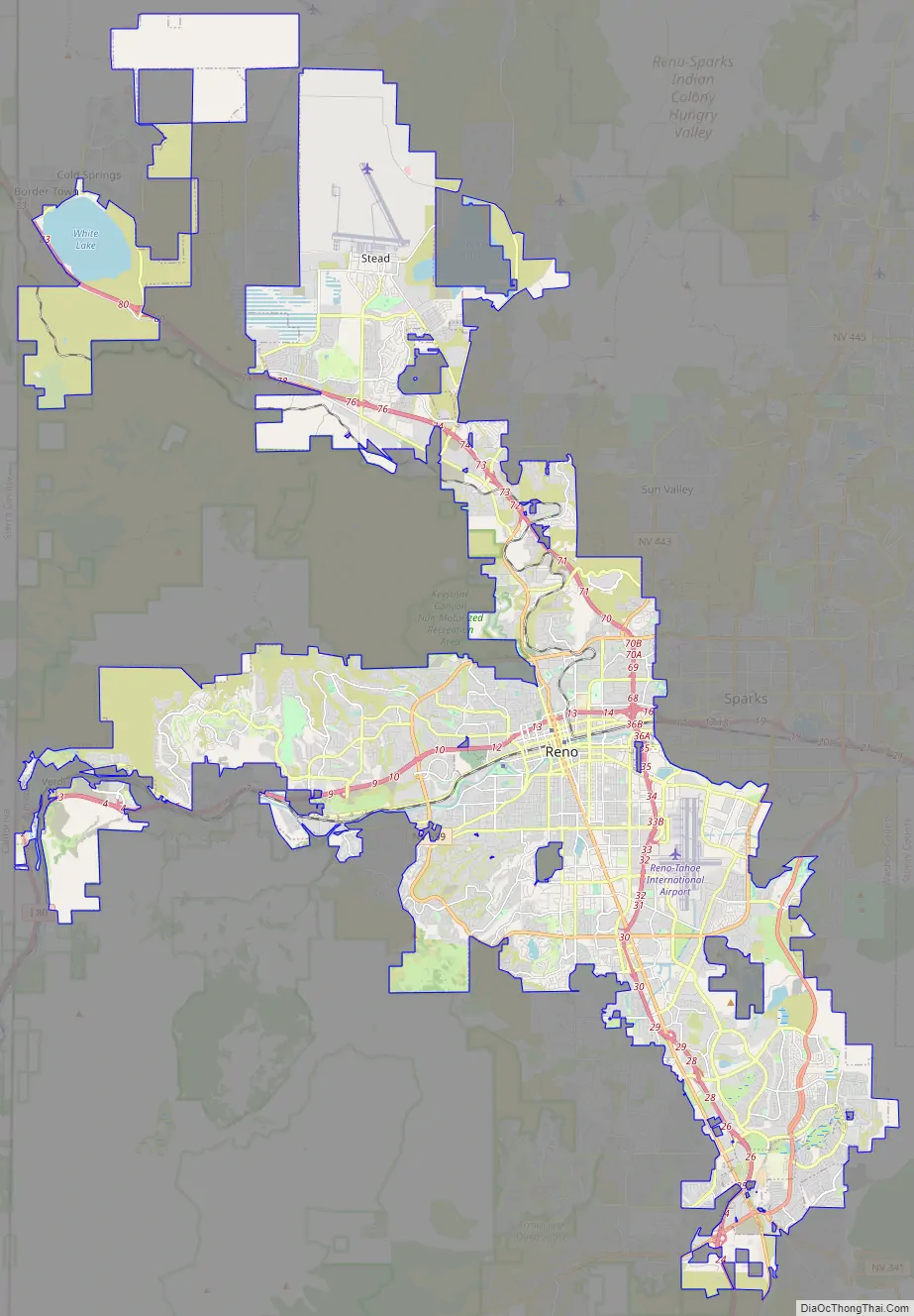
Reno Road Map
This is the perfect map for all your explorations. We’ve included a detailed street map of the highways and roads in the area. Whether you are visiting for a day, weekend, or more, you are sure to find your way around with the help of this detailed map. So get out there and start exploring and let this printable road map lead you around town. But if you plan to make a road trip outside the city, then make sure to download a Nevada road map before you go.
Interstate Highways: I-80
US Highways: 115, 341, 395, 431, 650, 651, Mount Rose Hwy, Old Hwy 40, South Fwy
Expressways/Parkways: Caughlin Pky, Meadows Pky, White Lake Pky
Major Roads: 2nd St, 4th St, 7th St, 113th Cr Rd, Arlington Ave, Boomtown Garson Rd, California Ave, Clear Acre Ln, Dandini Blvd, Del Monte Ln, Echo Ave, El Rancho Dr, Forest St, Geiger Grade Rd, Giroux St, Glendale Ave, Golden Valley Rd, Greg St, Huffaker Ln, Hunter Lake Dr, Keystone Ave, Kietzke Ln, Kirman Ave, Kuenzli St, Lakeside Dr, Lemmon Dr, Liberty St, Longley Ln, Mae Anne Ave, Mayberry Dr, McCarran Blvd, Mesa Park Rd, Military Rd, Mill St, Moana Ln, Mount Anderson St, Mount Rose St, Moya Blvd, Neil Rd, Oddie Blvd, Parr Blvd, Peckham Ln, Plumas St, Plumb Ln, Prater Way, Red Rock Rd, Reno Park Blvd, Robb Dr, Rock Blvd, Ryland St, Silver Lake Rd, Skyline Blvd, Stead Blvd, Sutro St, Terminal Way, Virginia St, Wells Ave
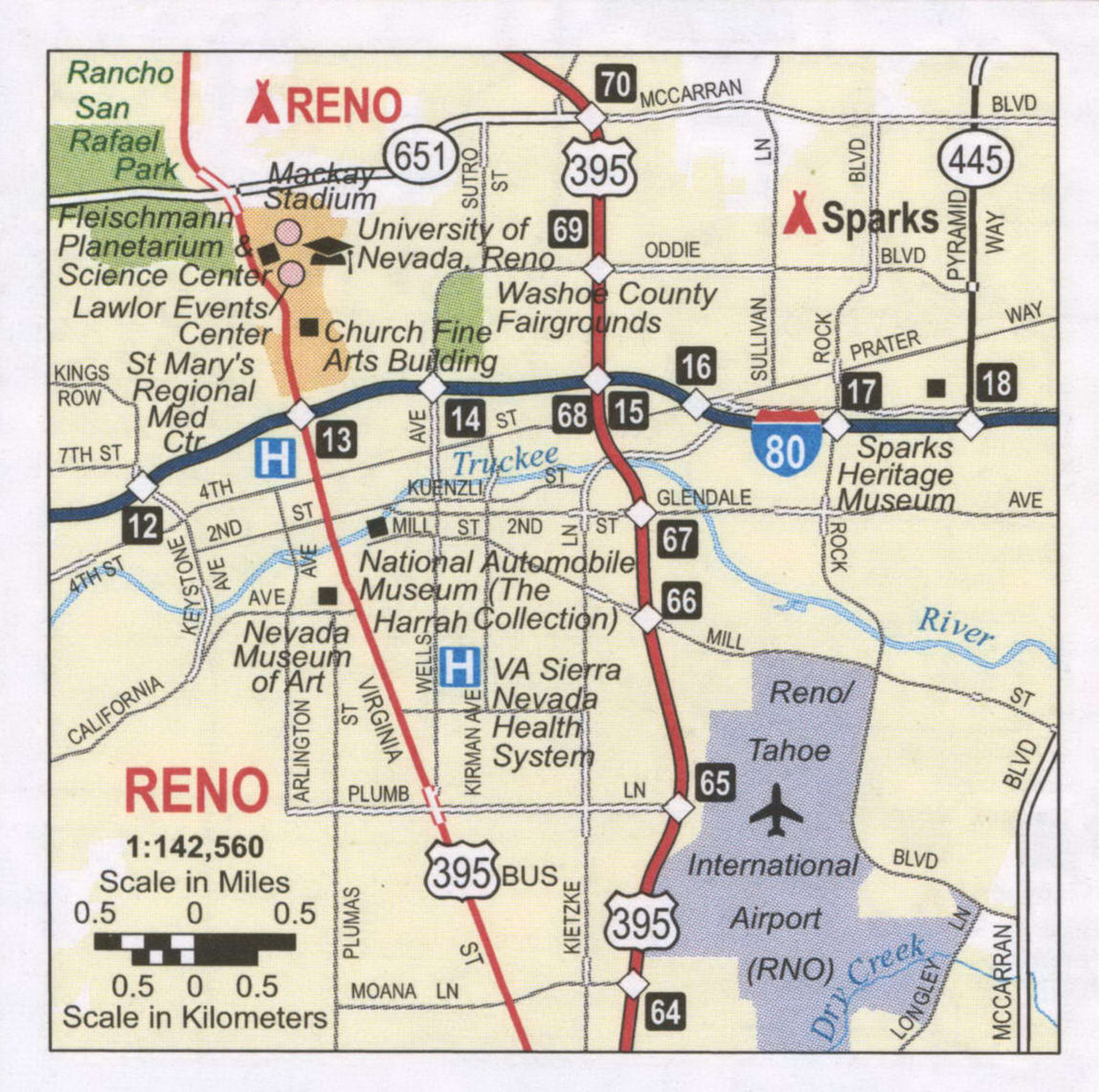
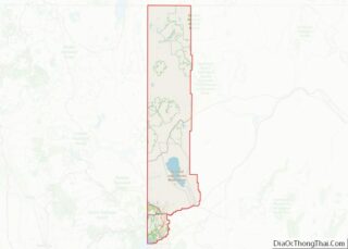
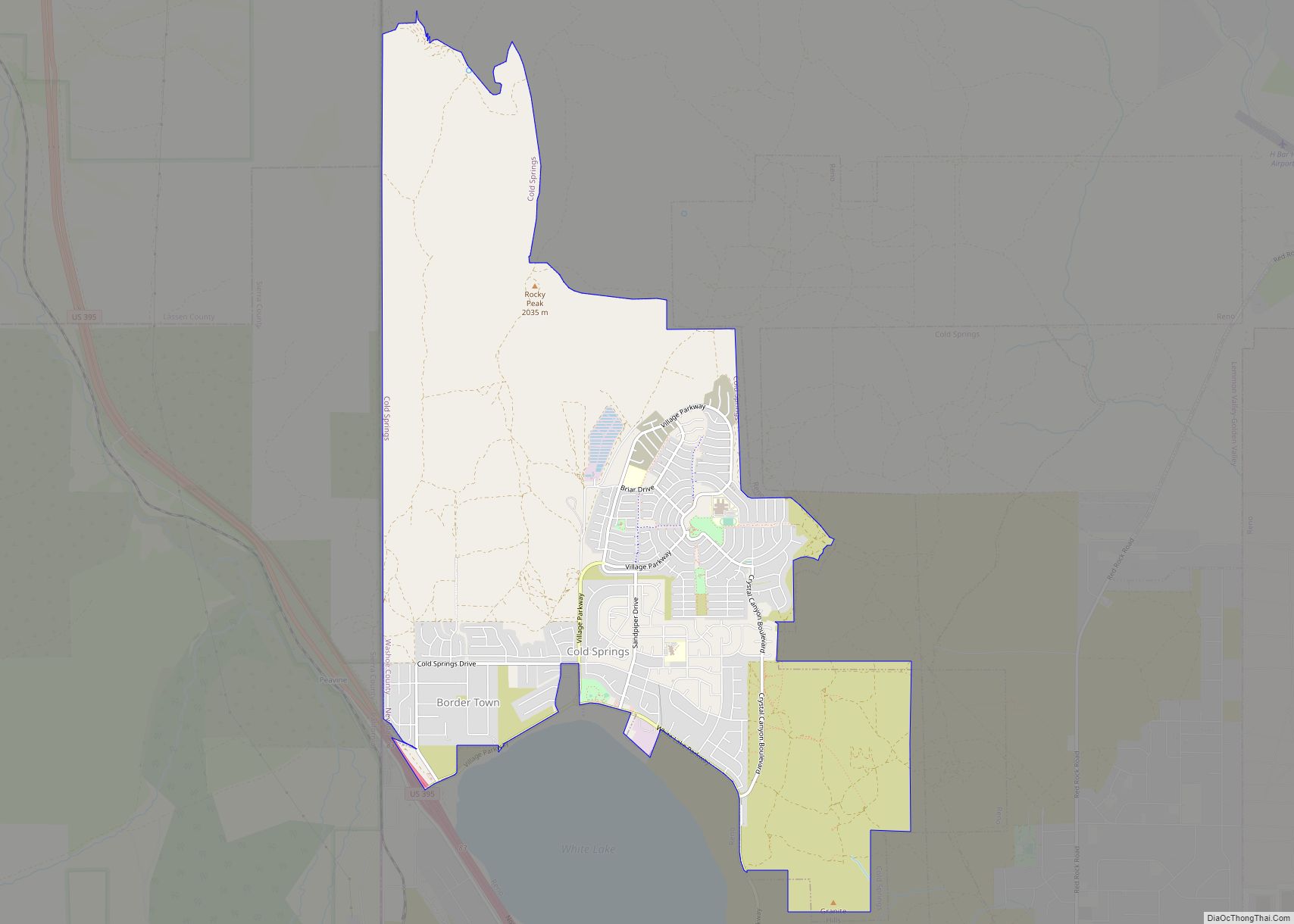
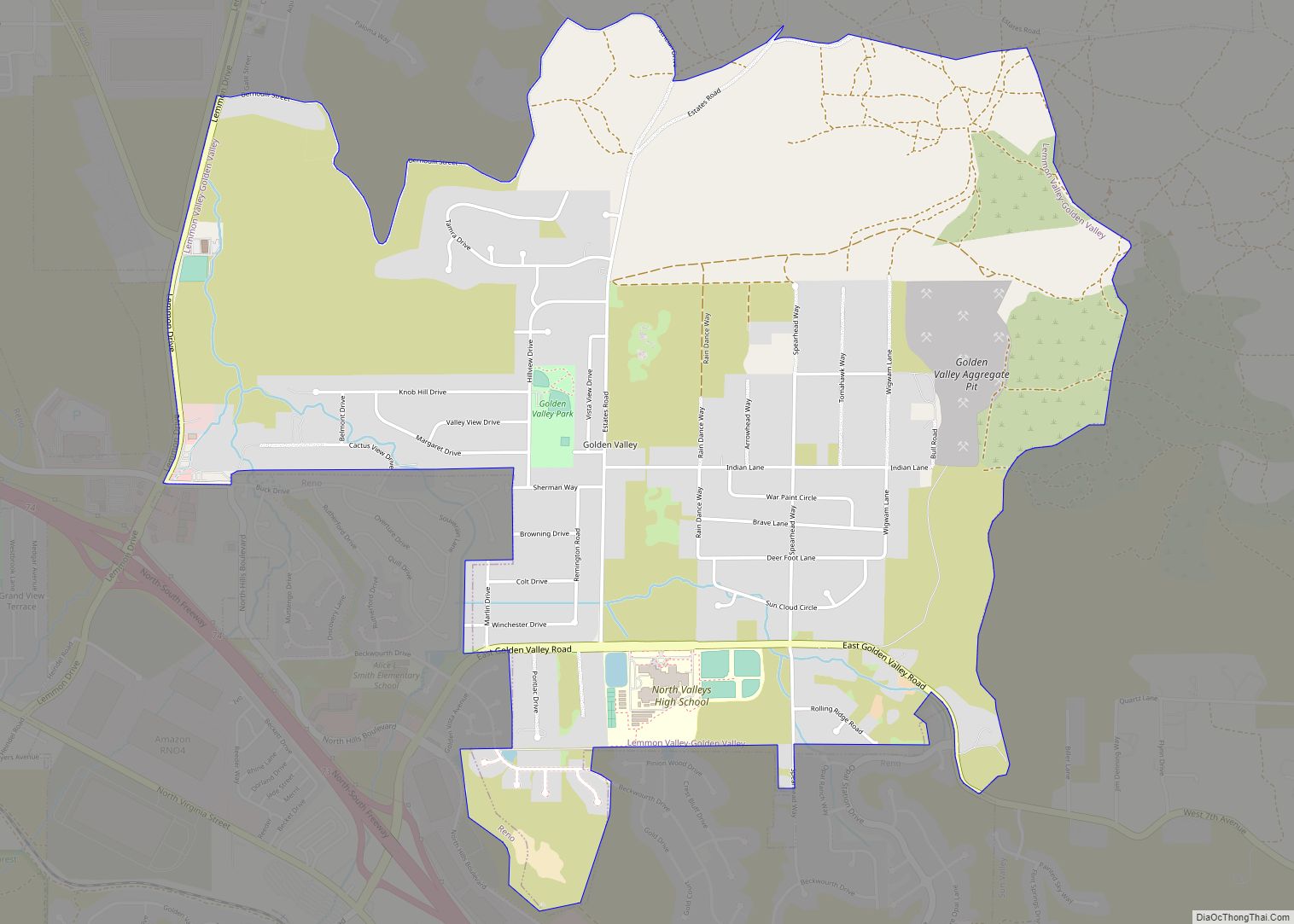
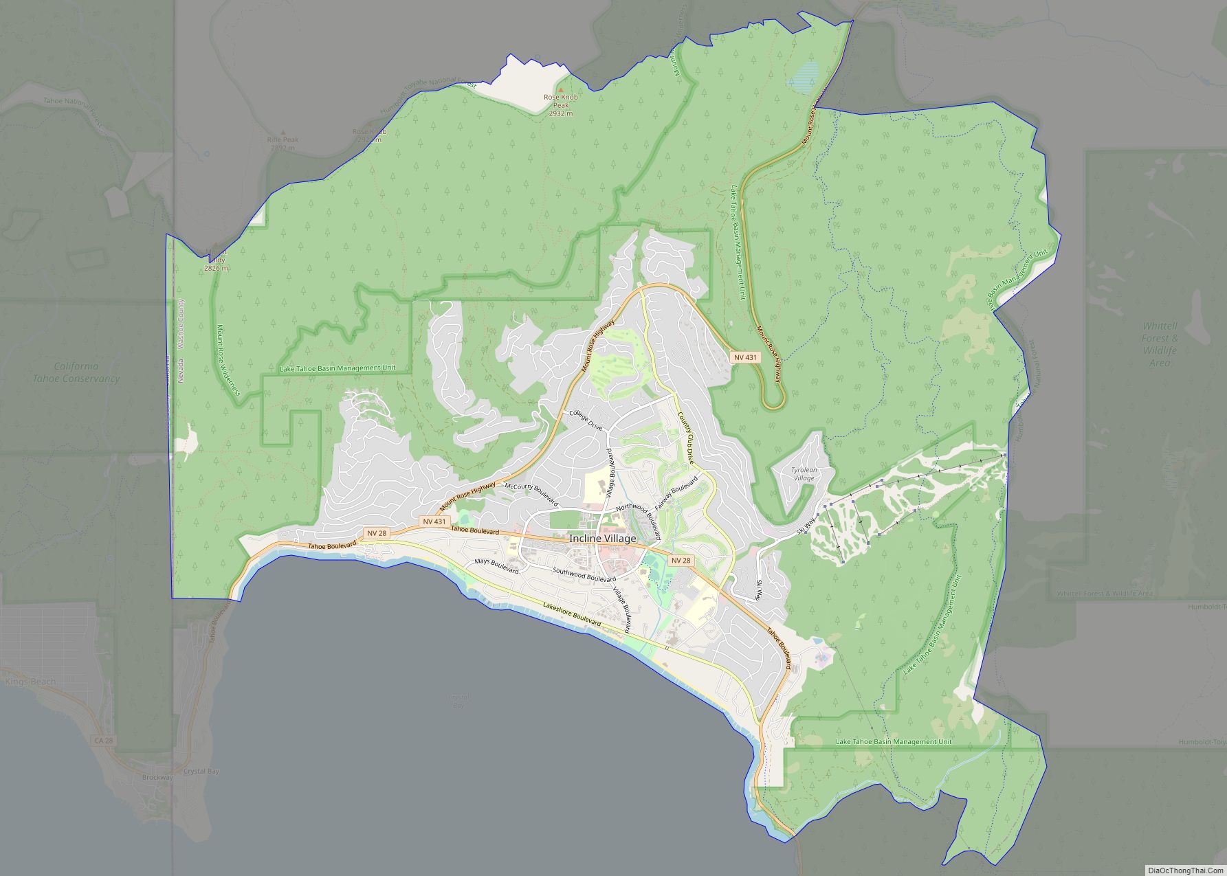
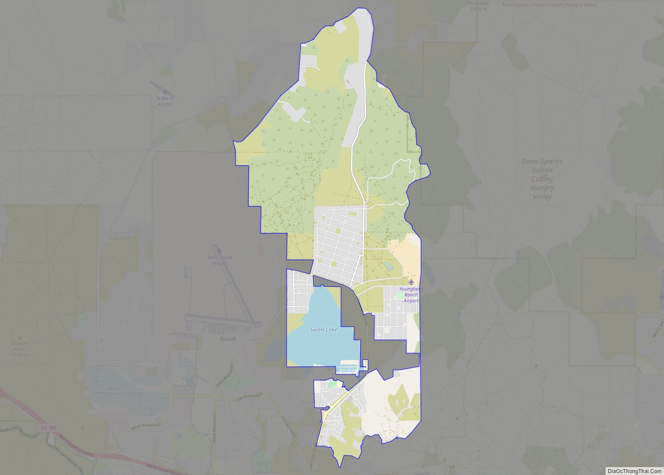
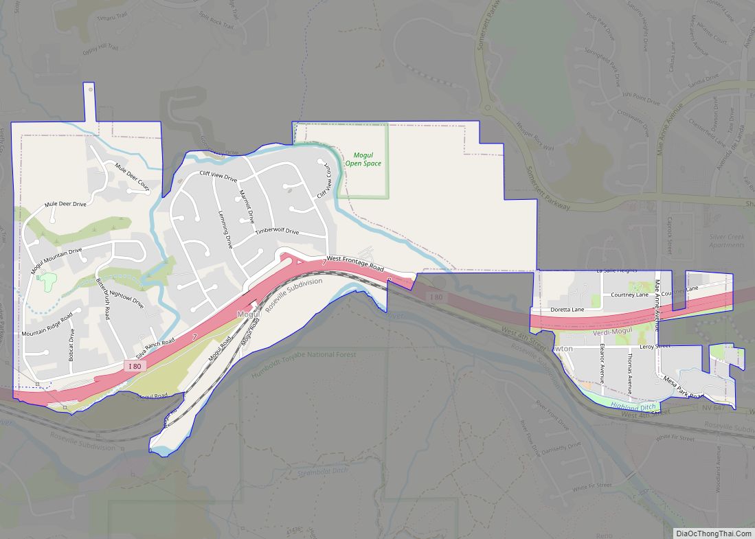
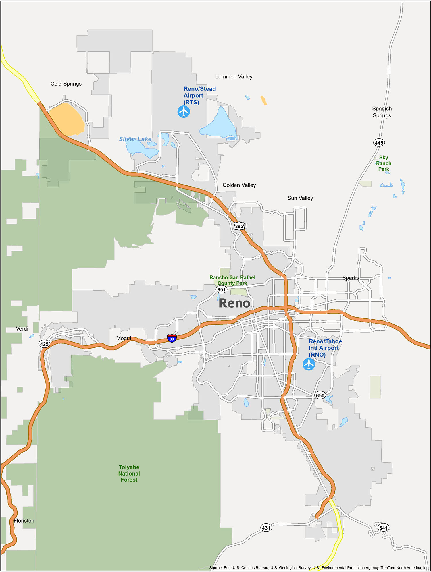
Introducing the ultimate reference map of the Reno-Tahoe area, which includes the cities of Reno and Sparks, and the census-designated places (CDP) of Cold Springs, Floriston, Golden Valley, Lemmon Valley, Mogul, Spanish Springs, Sun Valley, and Verdi. Whether you’re planning a vacation or just need a better understanding of the city, this map will help you find your way around. It includes detailed information about airports (Reno-Tahoe International Airport (RNO) and Reno-Stead Airport (RTS)), parks and other points of interest (Rancho San Rafael County Park, Toiyabe National Forest).
10 things to do in Reno city
If you’re looking for an unforgettable experience, look no further than Reno. With its rich history and culture, this city is truly a must-visit destination. From the iconic Reno Arch to the National Automobile Museum, and from the Discovery – Terry Lee Wells Nevada Discovery Museum to the Wilbur D. May Center, there are plenty of historical and cultural sites that are worth exploring. Also, don’t forget to visit the Truckee River Walk, Mt Rose, Rancho San Rafael Regional Park, Virginia Lake Park Playground, Nevada Museum of Art, and Idlewild Park for a unique outdoor adventure. So, get out and explore Reno like a local and find out what places are worth visiting!
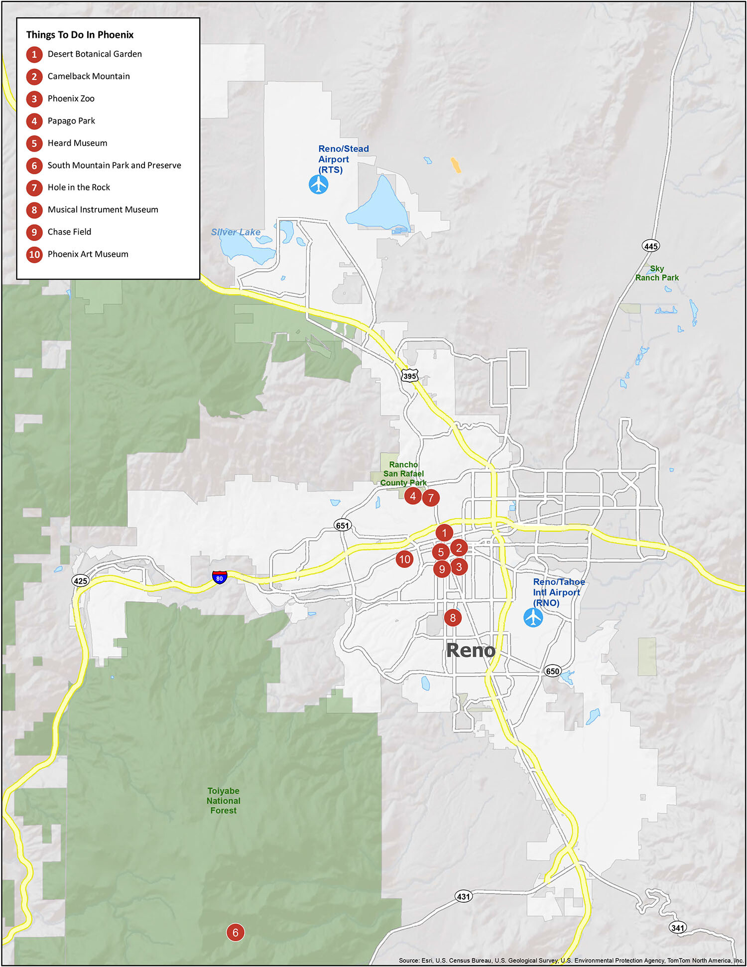
Explore Reno Like a Local
Reno is a city of culture, history, and outdoor adventure that has something for everyone. From the iconic Reno Arch to the National Automobile Museum, and from the Discovery – Terry Lee Wells Nevada Discovery Museum to the Wilbur D. May Center, there are plenty of historical and cultural sites to explore. Additionally, the Truckee River Walk, Mt Rose, Rancho San Rafael Regional Park, Virginia Lake Park Playground, Nevada Museum of Art, and Idlewild Park offer unique outdoor experiences. So, take a tour of the most important historical and cultural sites in the Reno area and discover what places are worth visiting!
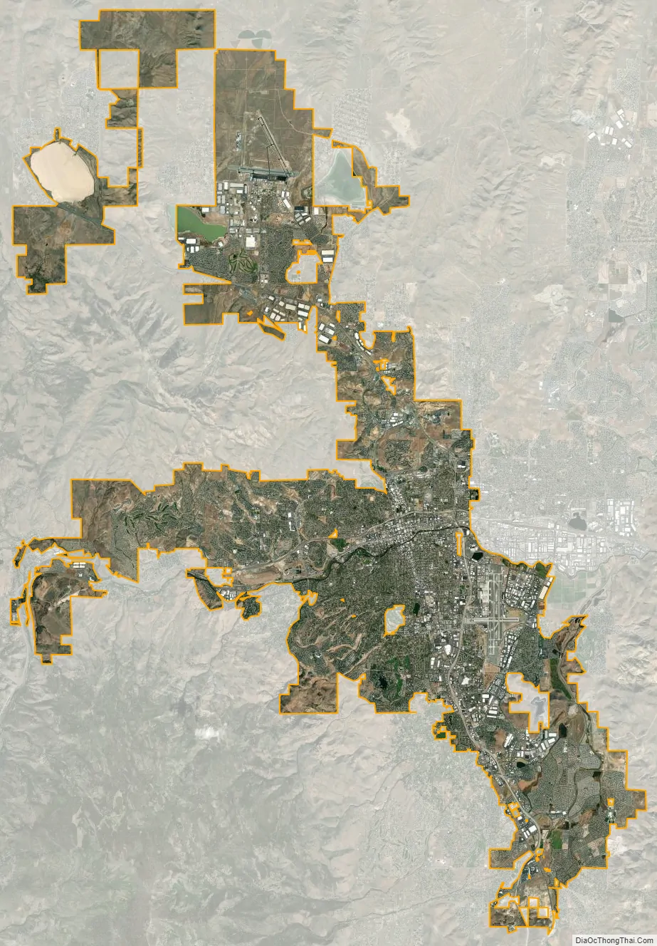
Reno city Satellite Map
Geography
Environmental considerations
Wetlands are an important part of the Reno/Tahoe area. They act as a natural filter for the solids that come out of the water treatment plant. Plant roots absorb nutrients from the water and naturally filter it. Wetlands are home to over 75% of the species in the Great Basin. However, the area’s wetlands are at risk of being destroyed due to development around the city. While developers build on top of the wetlands they fill them with soil, destroying the habitat they create for the plants and animals. Washoe County has devised a plan that will help protect these ecosystems: mitigation. In the future, when developers try to build over a wetland, they will be responsible for creating another wetland near Washoe Lake.
The Truckee River is Reno’s primary source of drinking water. It supplies Reno with 80 million U.S. gallons (300 Ml) of water a day during the summer, and 40 million U.S. gallons (150 Ml) of water per day in the winter. Before the water goes to the homes around the Reno area, it must go to one of two water treatment plants, Chalk Bluff or Glendale Water Treatment Plant. To help save water, golf courses in Reno have been using treated effluent water rather than treated water from one of Reno’s water plants.
The Reno-Sparks wastewater treatment plant discharges tertiary-treated effluent to the Truckee River. In the 1990s, this capacity was increased from 20 to 30 million U.S. gallons (70 to 110 million liters) per day. While treated, the effluent contains suspended solids, nitrogen, and phosphorus, aggravating water-quality concerns of the river and its receiving waters of Pyramid Lake. Local agencies working with the Environmental Protection Agency have developed several watershed management strategies to accommodate this expanded discharge. To accomplish this successful outcome, the DSSAM model was developed and calibrated for the Truckee River to analyze the most cost-effective available management strategy set. The resulting management strategies included measures such as land use controls in the Lake Tahoe basin, urban runoff controls in Reno and Sparks, and best management practices for wastewater discharge.
The Reno area is often subject to wildfires that cause property damage and sometimes loss of life. In August 1960, the Donner Ridge fire resulted in a loss of electricity to the city for four days. In November 2011, arcing from powerlines caused a fire in Caughlin in southwest Reno that destroyed 26 homes and killed one man. Just two months later, a fire in Washoe Drive sparked by fireplace ashes destroyed 29 homes and killed one woman. Around 10,000 residents were evacuated, and a state of emergency was declared. The fires came at the end of Reno’s longest recorded dry spell.
Geology
Reno is just east of the Sierra Nevada, on the western edge of the Great Basin at an elevation of about 4,400 feet (1,300 m) above sea level. Numerous faults exist throughout the region. Most of these are normal (vertical motion) faults associated with the uplift of the various mountain ranges, including the Sierra Nevada.
In February 2008, an earthquake swarm began to occur, lasting for several months, with the largest quake registering at 4.9 on the Richter magnitude scale, although some geologic estimates put it at 5.0. The earthquakes were centered on the Somersett community in western Reno near Mogul and Verdi. Many homes in these areas were damaged.
The unique high desert geological features cause many to “Describe Nevada as a rockhound’s paradise…access to millions of acres of government land allows geologist, miners and amateur rockhounds in Nevada to hunt to their hearts content… able to find agate, opal, jasper, fossils, fluorescent minerals, obsidian, chalcedony, wonders tone, malachite, petrified wood, limb cast, and much more means paradise.”
Climate
Reno sits in the rain shadow of the Sierra Nevada mountain range. Annual rainfall averages 7.35 inches (187 mm). Reno features a cold semi-arid climate (Köppen: BSk) due to its low evapotranspiration stemming from its moderate annual average temperature and the concentration of precipitation in the cooler, less-sunny months. The city experiences cool to cold winters, and hot summers. Annual precipitation has ranged from 1.55 inches (39.4 mm) in 1947 to 13.73 inches (348.7 mm) in 2017. The most precipitation in one month was 6.76 inches (171.7 mm) in January 1916 and the most precipitation in 24 hours was 2.71 inches (68.8 mm) on January 28, 1903. At Reno–Tahoe International Airport, where records go back to 1937, the most precipitation in one month was 5.57 inches (141.5 mm) in January 2017 and the most precipitation in 24 hours was 2.29 inches (58.2 mm) on January 21, 1943. Winter snowfall is usually light to moderate, but can be heavy some days, averaging 20.9 inches (53 cm) annually. Snowfall varies with the lowest amounts (roughly 19–23 inches annually) at the lowest part of the valley at and east of the airport at 4,404 feet (1,342 m), while the foothills of the Carson Range to the west ranging from 4,700 to 5,600 feet (1,400 to 1,700 m) in elevation just a few miles west of downtown can receive two to three times as much annual snowfall. The mountains of the Virginia Range to the east can receive more summer thunderstorms and precipitation, and around twice as much annual snowfall above 5,500 feet (1,700 m). However, snowfall increases in the Virginia Range are less dramatic as elevation climbs than in the Carson Range to the west, because the Virginia Range is well within the rain shadow of the Sierra Nevada and Carson Range. The most snowfall in Reno in one winter was 72.3 inches (184 cm) in 1915-1916, with an astonishing 65.7 inches (167 cm) in January, the most in a calendar month, as well as 22.5 inches (57 cm) on January 17, the most in a calendar day; the most snowfall in a calendar year was 82.3 inches (209 cm) in 1916. At Reno–Tahoe International Airport, the most snowfall in one winter was 59.3 inches (151 cm) in 1951-1952, the most in a calendar year was 63.8 inches (162 cm) in 1971, the most in a month was 29.0 inches (74 cm) in March 1952, and the most in a day was 18.0 inches (46 cm) on February 16, 1990.
Most rainfall occurs in winter and spring. The city has 300 days of sunshine per year. Summer thunderstorms can occur between April and October. The eastern side of town and the mountains east of Reno tend to be prone to thunderstorms more often, and these storms may be severe because an afternoon downslope west wind, called a “Washoe Zephyr”, can develop in the Sierra Nevada, causing air to be pulled down in the Sierra Nevada and Reno, destroying or preventing thunderstorms, but the same wind can push air upward against the Virginia Range and other mountain ranges east of Reno, creating powerful thunderstorms.
The monthly daily average temperature ranges from 36.2 °F (2.3 °C) in December to 77.2 °F (25.1 °C) in July, with the diurnal temperature variation occasionally reaching 40 °F (22 °C) in summer, still lower than much of the high desert to the east. There are 6.0 days of 100 °F (38 °C)+ highs, 65 days of 90 °F (32 °C)+ highs, 1.6 days with 70 °F (21 °C)+ lows, and 1.9 days with sub-10 °F (−12 °C) lows annually; the temperature reaches or dips below the freezing point on 122 days, and does not rise above freezing on only 4.1 of those days. The all-time record high temperature is 108 °F (42 °C), which occurred on July 10 and 11, 2002, and again on July 5, 2007. The all-time record low temperature is −17 °F (−27 °C), which occurred on January 21, 1916; the lowest temperature recorded at the airport is −16 °F (−27 °C), which occurred on four occasions, most recently on February 7, 1989. In addition, the region is windy throughout the year; observers such as Mark Twain have commented about the “Washoe Zephyr”, northwestern Nevada’s distinctive wind.
See or edit raw graph data.
See also
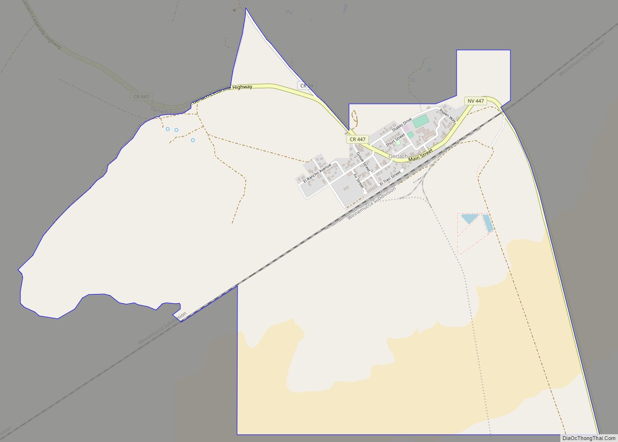
Map of Nevada State and its subdivision: Map of other states:- Alabama
- Alaska
- Arizona
- Arkansas
- California
- Colorado
- Connecticut
- Delaware
- District of Columbia
- Florida
- Georgia
- Hawaii
- Idaho
- Illinois
- Indiana
- Iowa
- Kansas
- Kentucky
- Louisiana
- Maine
- Maryland
- Massachusetts
- Michigan
- Minnesota
- Mississippi
- Missouri
- Montana
- Nebraska
- Nevada
- New Hampshire
- New Jersey
- New Mexico
- New York
- North Carolina
- North Dakota
- Ohio
- Oklahoma
- Oregon
- Pennsylvania
- Rhode Island
- South Carolina
- South Dakota
- Tennessee
- Texas
- Utah
- Vermont
- Virginia
- Washington
- West Virginia
- Wisconsin
- Wyoming