Truckee is an incorporated town in Nevada County, California, United States. As of the 2010 United States Census, the population was 16,180, reflecting an increase of 2,316 from the 13,864 counted in the 2000 Census and having the 316th highest population in California and 2114th in the United States.
| Name: | Truckee town |
|---|---|
| LSAD Code: | 43 |
| LSAD Description: | town (suffix) |
| State: | California |
| County: | Nevada County |
| Incorporated: | March 23, 1993 |
| Elevation: | 5,817 ft (1,773 m) |
| Total Area: | 33.66 sq mi (87.19 km²) |
| Land Area: | 32.33 sq mi (83.74 km²) |
| Water Area: | 1.33 sq mi (3.45 km²) 3.96% |
| Total Population: | 16,180 |
| Population Density: | 517.60/sq mi (199.84/km²) |
| Area code: | 530 |
| FIPS code: | 0680588 |
| Website: | www.townoftruckee.com |
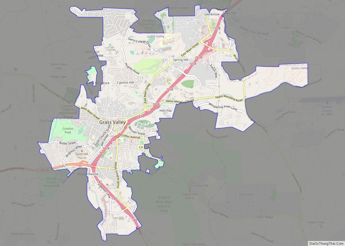
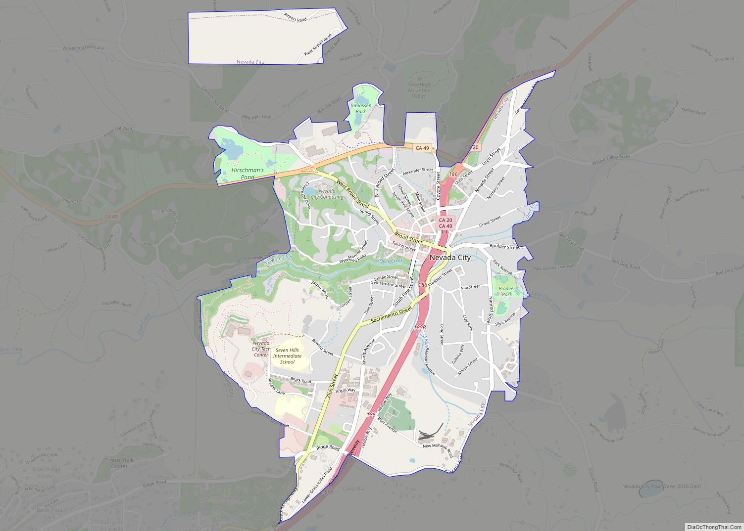
Online Interactive Map
Click on ![]() to view map in "full screen" mode.
to view map in "full screen" mode.
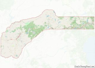
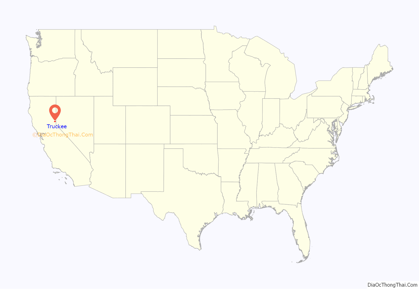
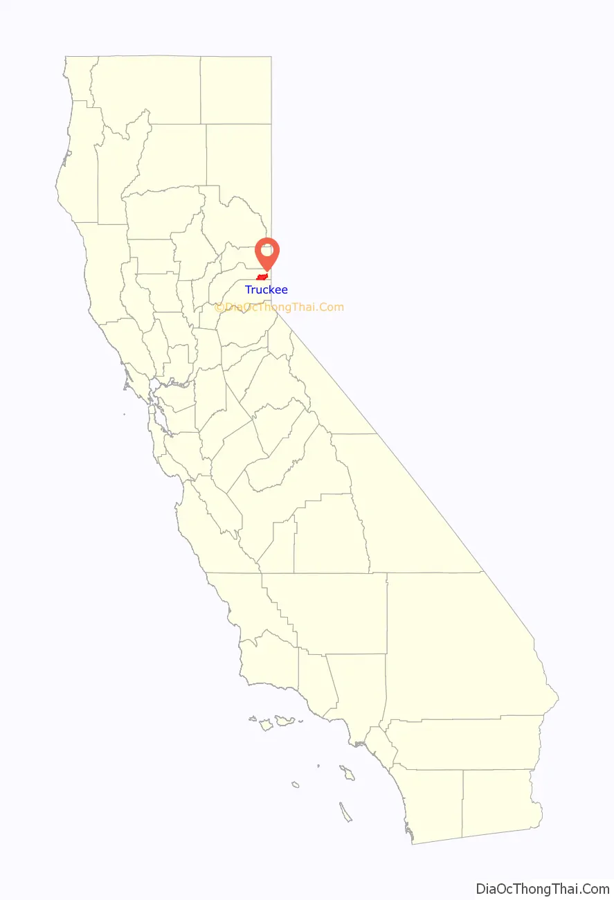
Truckee location map. Where is Truckee town?
History
Habitation by Native Americans
The Truckee River flows from Lake Tahoe for approximately 100 miles (160 km) northeast to the border of the arid Great Basin of Nevada and Utah and into Pyramid Lake. This water source formed a natural, seasonal route for Native Americans. Although no particular tribe is considered to have inhabited Truckee year-round, the Washoe people occupied a large territory roughly centered in the modern day Carson City area, but Shoshone and Paiute Tribes were also present (the Paiute Tribe Reservation now encompasses Pyramid Lake). These peoples are considered to be the primary source of Native American travelers in the area. Hobart Mills, just north of Truckee on Highway 89, has a large, horizontal, circular petroglyph of the type common to travel routes in Nevada. The date of that petroglyph, as well as several etched into granite slabs on the summit west of Truckee, are not agreed upon. But those artifacts, as well as the abundance of arrowheads throughout the Truckee region, attest to a minimum of hundreds of years of Native American presence. It is possible that, like the Shoshone, Ute people and earlier Fremont tribes of Utah and Eastern Nevada, the nearby Native American populations fluctuated over the course of millennia as a result of weather cycles, food source, and possibly disease or war. Some historians date the pre-Fremont culture of Eastern Nevada to as early as 10,000 B.C. and it’s likely that the Eastern side of the Sierra Nevada mountains next to Truckee, since it faces the Great Basin, had Native Americans of a hunter-gatherer culture visit at least as early as 3,000 B.C. These people were probably of a purely nomadic group since datable housing structures like those found in Nevada and Utah are not present. Like most of the modern history of the West, as the European settlers’ population increased, the Native American population decreased. The Gold Rush of 1849 caused a surge in fortune-seeking settlers (although Truckee itself wasn’t settled until later). It is not known exactly when the last indigenous Native Americans passed through Truckee, but there is Washoe people oral history of the Donner Party tragedy of the winter of 1846–47.
Donner Party
The Donner Party ordeal is arguably Truckee’s most famous historical event. In 1846, a group of settlers from Illinois, originally known as the Donner-Reed Party but now usually referred to as the Donner Party, became snowbound in early fall as a result of several trail mishaps, poor decision-making, and an early onset of winter that year. Choosing multiple times to take shortcuts to save distance compared to the traditional Oregon Trail, coupled with infighting, a disastrous crossing of the Utah salt flats, and the attempt to use the pass near the Truckee River (now Donner Pass) all caused delays in their journey.
Finally, a large, early blizzard brought the remaining settlers to a halt at the edge of what is now Donner Lake, about 1,200 feet (370 m) below the steep granite summit of the Sierra Nevada mountains and 90 miles (140 km) east of their final destination, Sutter’s Fort (near Sacramento). Several attempts at carting their few remaining wagons, oxen, and supplies over the summit—sometimes by pulling them up by rope—proved impossible due to freezing conditions and a lack of any preexisting trail. The party returned, broken in spirit and short of supplies, to the edge of Donner Lake. A portion of the camp members also returned to the Alder Creek campsite a few miles to the east.
During the hard winter the travelers endured starvation and were later found to have practiced cannibalism. Fifteen members constructed makeshift snowshoes and set out for Sutter’s Fort in the late fall but were thwarted by freezing weather and disorientation. Only seven survived: two were lost, and six died. Those who died were used as food by those who remained. The Truckee camp survivors were saved by a Reed Party member who had set out ahead after having been ejected from the party months earlier for killing another man in a violent argument. Seeing that the group never arrived at Sutter’s Fort, he initiated several relief parties.
Of the original 87 settlers in the Donner-Reed party, 48 survived the ordeal. The Donner Memorial State Park is dedicated to the settlers and is located at the East End of Donner Lake.
Other historical events
Truckee grew as a railroad town originally named Coburn Station, starting with the Transcontinental Railroad. The railroad goes into downtown Truckee, and the Amtrak passenger lines still stop there on the trip from Chicago to San Francisco.
Truckee’s Sinophobic movement had begun during the Reconstruction Period, marked by the Trout Creek Outrage of 1876:
Charles Fayette McGlashan, local lawyer and owner/publisher of the Truckee Republican, defended those accused in the Trout Creek Outrage and was a leader in the town’s anti-Chinese movement. In 1886, the town’s Chinese inhabitants, about 1,400 in number, were expelled from Truckee as part of a campaign that included a boycott of any business that did business with Chinese.
In 1891, lawman Jacob Teeter was killed in a violent gunfight with fellow lawman, James Reed (no relation to James Frazier Reed of the Donner Party). Constable Reed was among those accused of participating in the Trout Creek Outrage fifteen years prior.
Truckee reportedly had one of the nation’s first mechanized ski lifts at the site of the Hilltop Lodge. The historic Hilltop Lodge was converted to a restaurant in the 1940s by the Crandall Brothers, and eventually became Cottonwood Restaurant and Bar. There were possibly two rope tows and a Poma lift, which was installed in 1954. At the same location there was a ski jump constructed during the early 1900s that was designed by Lars Haugen, a seven-time Olympic ski jumping champion.
Incorporation
In 1993, Truckee incorporated as a city.
Truckee Road Map

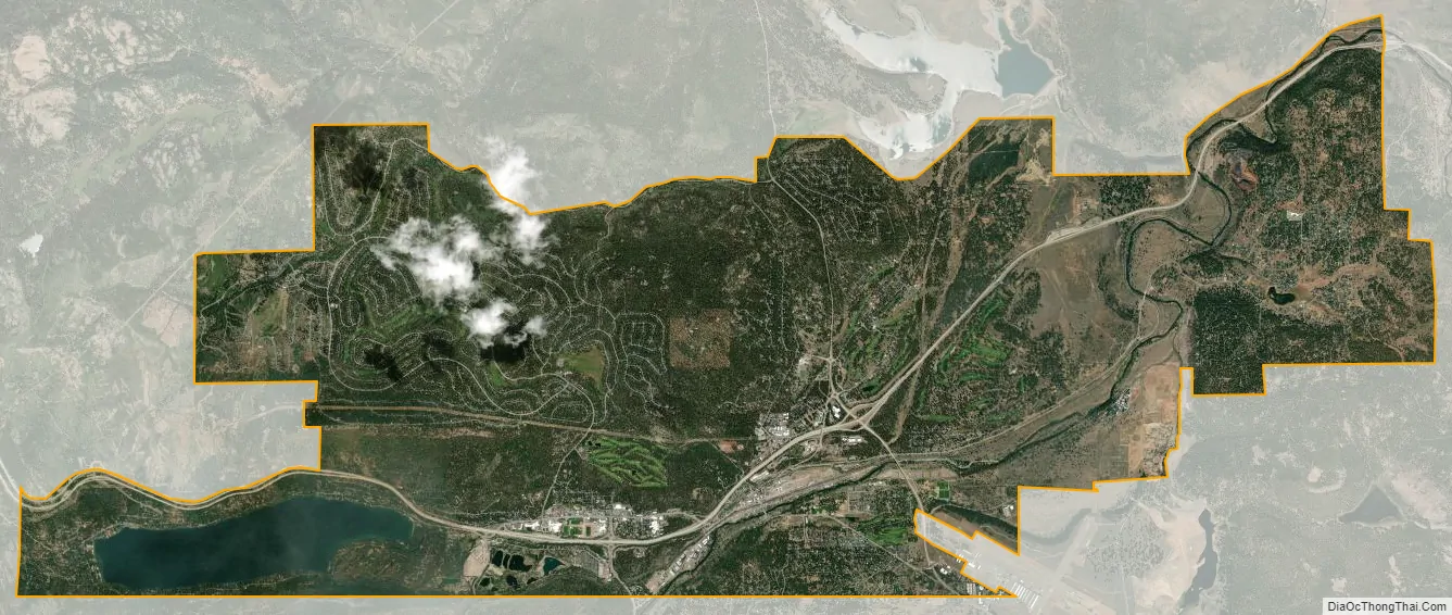
Truckee city Satellite Map
Geography
Truckee is located along Interstate 80.
According to the United States Census Bureau, the town has a total area of 33.7 square miles (87 km), of which 32.3 square miles (84 km) is land and 1.3 square miles (3.4 km) (3.96%) is water, mostly Donner Lake and the Truckee River.
Climate
Under the Köppen climate classification system, Truckee has a dry-summer continental climate (Dsb). Winters are chilly with regular snowfall, while summers are warm to hot and dry, with occasional periods of intense thunderstorms. Its location near the Sierra Nevada crest at 1,798 metres (5,899 ft) provides conditions for winter storms to commonly deposit nearly a meter of snow in a 24-hour storm event and the occasional week-long storm event can deliver 2 to 3 metres (79 to 118 in) of snow. The National Weather Service reports that Truckee’s warmest month is July with an average maximum temperature of 82.7 °F (28.2 °C) and an average minimum temperature of 42.4 °F (5.8 °C). January is the coldest month with an average maximum temperature of 40.9 °F (4.9 °C) and an average minimum temperature of 16.3 °F (−8.7 °C). The record maximum temperature of 104 °F (40 °C) was on July 6, 2007. The record minimum temperature of −28 °F (−33.3 °C) was on February 27, 1962. Annually, there are an average of 8.4 days with highs of 90 °F (32.2 °C) or higher and 239 with a high above 50 °F (10 °C). Freezing temperatures have been observed in every month of the year and there are an average of 228.4 nights with lows of 32 °F (0 °C) or lower – seven more than Fairbanks and only eight fewer than Nome – but only 6.0 nights with lows of 0 °F (−17.8 °C) or lower and 15.6 days where the high does not top freezing.
Normal annual precipitation in Truckee is 30.85 inches (783.6 mm); measurable precipitation (0.01 inches (0.25 mm) or more) occurs on an average of 87.0 days annually. The most precipitation in one month was 23.65 inches (600.7 mm) in December 1955, and the most precipitation in 24 hours was 5.21 inches (132.3 mm) on February 1, 1963. The wettest calendar year has been 1997 with 54.62 inches (1,387.3 mm) and the driest 1976 with 16.04 inches (407 mm), although the extremes by “rain year” are a maximum of 53.50 inches (1,358.9 mm) between July 1981 and June 1982 and a low of 15.91 inches (404.1 mm) between July 2000 and June 2001.
Truckee has an average of 206.6 inches (5.25 m) of snow annually, which makes it the fifth-snowiest city in the United States, while snow cover usually averages 28 inches (0.71 m) in February, but has exceeded 115 inches (2.92 m). The most snow in one month was 196.0 inches (4.98 m) in February 1938, and the most in a season was 444.30 inches (11.29 m) between July 1951 and June 1952. The maximum 24-hour snowfall was 34.0 inches (0.86 m) on February 17, 1990.
See also
Map of California State and its subdivision:- Alameda
- Alpine
- Amador
- Butte
- Calaveras
- Colusa
- Contra Costa
- Del Norte
- El Dorado
- Fresno
- Glenn
- Humboldt
- Imperial
- Inyo
- Kern
- Kings
- Lake
- Lassen
- Los Angeles
- Madera
- Marin
- Mariposa
- Mendocino
- Merced
- Modoc
- Mono
- Monterey
- Napa
- Nevada
- Orange
- Placer
- Plumas
- Riverside
- Sacramento
- San Benito
- San Bernardino
- San Diego
- San Francisco
- San Joaquin
- San Luis Obispo
- San Mateo
- Santa Barbara
- Santa Clara
- Santa Cruz
- Shasta
- Sierra
- Siskiyou
- Solano
- Sonoma
- Stanislaus
- Sutter
- Tehama
- Trinity
- Tulare
- Tuolumne
- Ventura
- Yolo
- Yuba
- Alabama
- Alaska
- Arizona
- Arkansas
- California
- Colorado
- Connecticut
- Delaware
- District of Columbia
- Florida
- Georgia
- Hawaii
- Idaho
- Illinois
- Indiana
- Iowa
- Kansas
- Kentucky
- Louisiana
- Maine
- Maryland
- Massachusetts
- Michigan
- Minnesota
- Mississippi
- Missouri
- Montana
- Nebraska
- Nevada
- New Hampshire
- New Jersey
- New Mexico
- New York
- North Carolina
- North Dakota
- Ohio
- Oklahoma
- Oregon
- Pennsylvania
- Rhode Island
- South Carolina
- South Dakota
- Tennessee
- Texas
- Utah
- Vermont
- Virginia
- Washington
- West Virginia
- Wisconsin
- Wyoming