Agra is a town in northern Lincoln County, Oklahoma, United States. The population was 339 at the 2010 census. An early real estate developer coined the town’s name from the word “agriculture”.
| Name: | Agra town |
|---|---|
| LSAD Code: | 43 |
| LSAD Description: | town (suffix) |
| State: | Oklahoma |
| County: | Lincoln County |
| Elevation: | 1,030 ft (314 m) |
| Total Area: | 0.39 sq mi (1.02 km²) |
| Land Area: | 0.39 sq mi (1.02 km²) |
| Water Area: | 0.00 sq mi (0.00 km²) |
| Total Population: | 311 |
| Population Density: | 791.35/sq mi (305.27/km²) |
| ZIP code: | 74824 |
| FIPS code: | 4000700 |
| GNISfeature ID: | 1102837 |
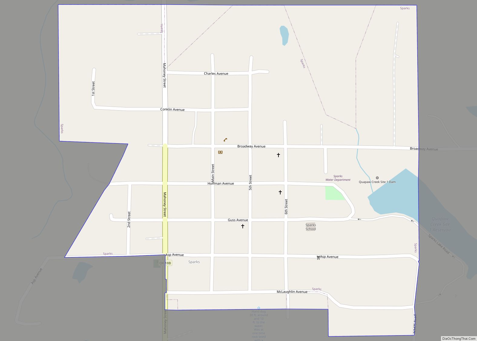
Online Interactive Map
Click on ![]() to view map in "full screen" mode.
to view map in "full screen" mode.
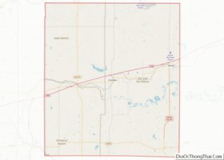
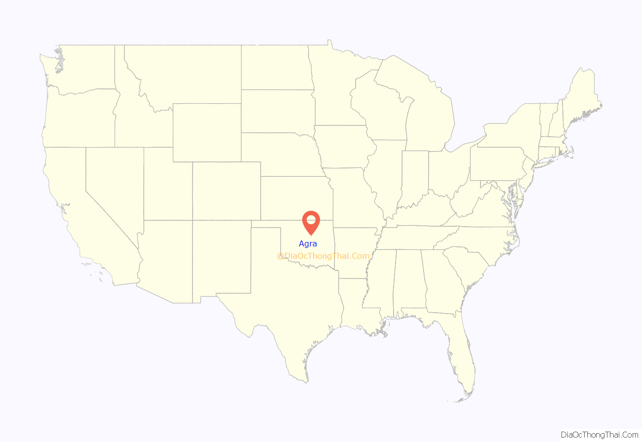
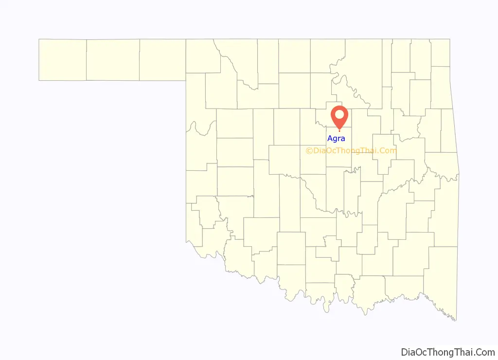
Agra location map. Where is Agra town?
History
Agra began to form around the turn of 20th Century. A post office opened in Agra on December 20, 1902, with Isaac C. Pierce serving as the first postmaster. The Missouri, Kansas and Oklahoma Railroad (which later became part of the Missouri, Kansas and Texas Railway (also known as MKT or “Katy”) built a line from Oklahoma City to Parsons, Kansas between 1902 and 1904. The townsite was developed after two local farmers, Frank Wheeler and Sam Holder, sold their lands along the railroad. American Land Loan and Trust Company divided the site into town lots.
The first businesses in town were a drugstore, opened by John Olmstead and a general store opened by Mark Crane. Otherwise, the first buildings were houses and a few churches. The Bank of Agra was built in 1904.{{The Bank of Agra was listed in the National Register of Historic Places (NR 90000122). Attempts to save the bank building, failed due to its deterioration, and it was razed in August 1999.}} School was taught in churches until 1905, when the first school building was constructed. By 1918, the town had also added the Commercial Hotel and a cotton gin. Early newspapers published in Agra were the Agra News and the Queen City Times. However, both the nickname and the newspaper passed into oblivion many years ago.
In the 21st Century, most of the permanent residents have been employed by the oil and gas industry, and/or commuted to work in other towns. Agra is essentially a bedroom community. It is now a small country town, but has 3 churches, a restaurant, elementary and high school, post office, and convenience store.
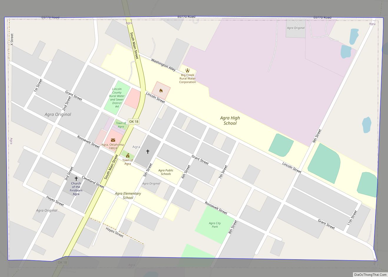
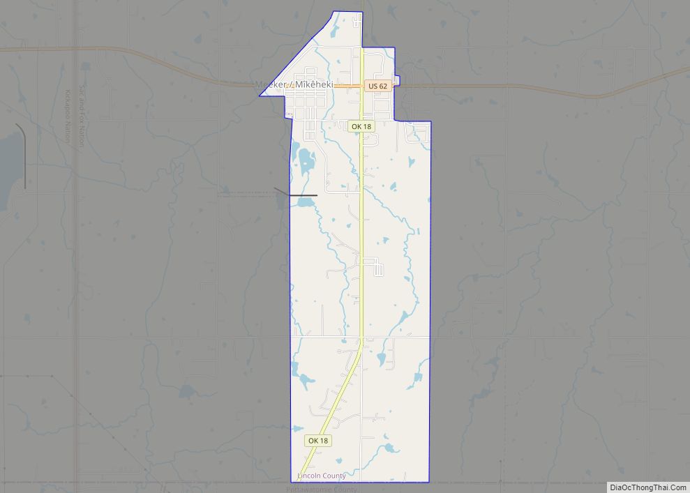
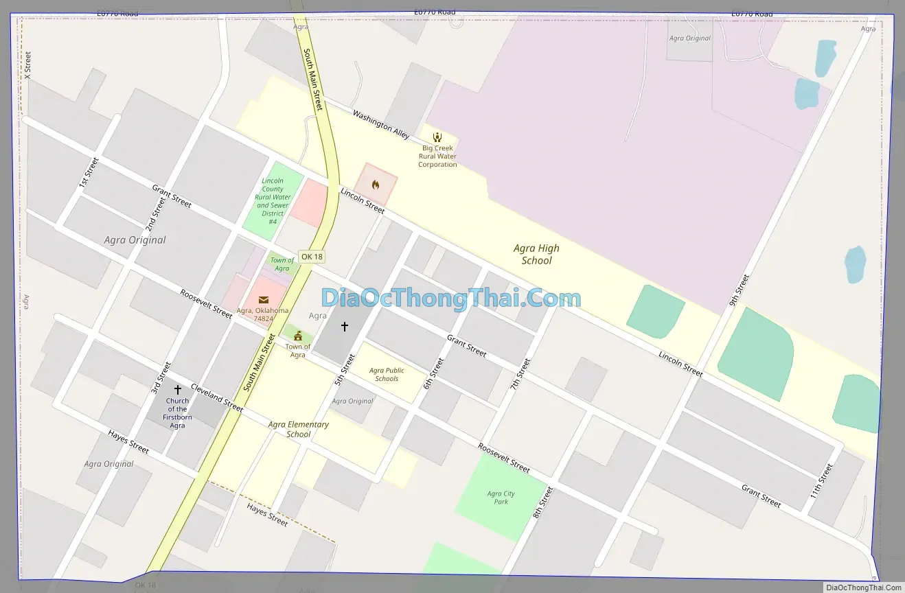
Agra Road Map
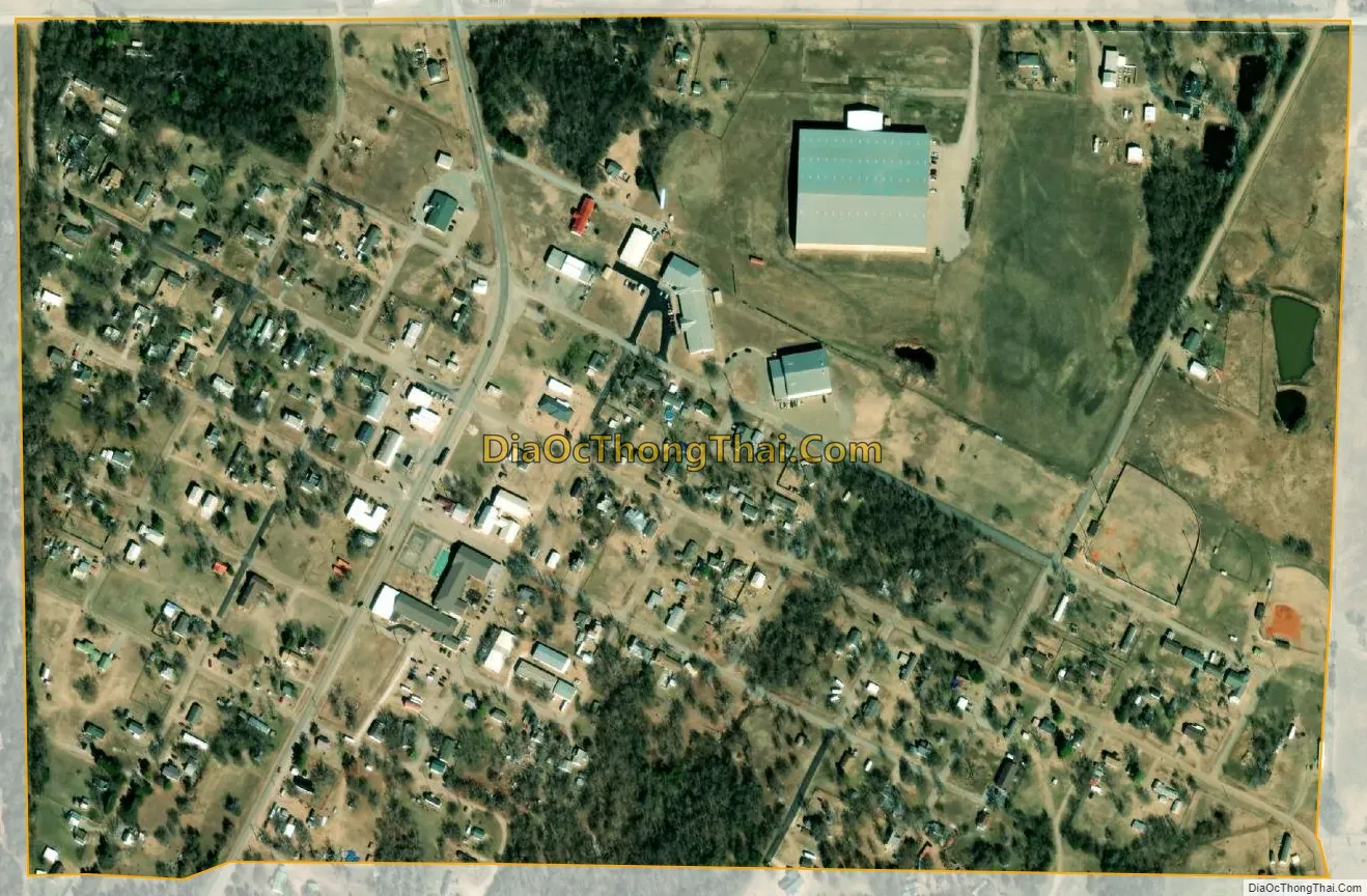
Agra city Satellite Map
Geography
Agra is located at 35°53′39″N 96°52′15″W / 35.89417°N 96.87083°W / 35.89417; -96.87083 (35.894279, -96.870956). It is 14 miles (23 km) north of Chandler, the Lincoln County seat, on State Highway 18.
According to the United States Census Bureau, the town has a total area of 0.3 square miles (0.78 km), all land.
See also
Map of Oklahoma State and its subdivision:- Adair
- Alfalfa
- Atoka
- Beaver
- Beckham
- Blaine
- Bryan
- Caddo
- Canadian
- Carter
- Cherokee
- Choctaw
- Cimarron
- Cleveland
- Coal
- Comanche
- Cotton
- Craig
- Creek
- Custer
- Delaware
- Dewey
- Ellis
- Garfield
- Garvin
- Grady
- Grant
- Greer
- Harmon
- Harper
- Haskell
- Hughes
- Jackson
- Jefferson
- Johnston
- Kay
- Kingfisher
- Kiowa
- Latimer
- Le Flore
- Lincoln
- Logan
- Love
- Major
- Marshall
- Mayes
- McClain
- McCurtain
- McIntosh
- Murray
- Muskogee
- Noble
- Nowata
- Okfuskee
- Oklahoma
- Okmulgee
- Osage
- Ottawa
- Pawnee
- Payne
- Pittsburg
- Pontotoc
- Pottawatomie
- Pushmataha
- Roger Mills
- Rogers
- Seminole
- Sequoyah
- Stephens
- Texas
- Tillman
- Tulsa
- Wagoner
- Washington
- Washita
- Woods
- Woodward
- Alabama
- Alaska
- Arizona
- Arkansas
- California
- Colorado
- Connecticut
- Delaware
- District of Columbia
- Florida
- Georgia
- Hawaii
- Idaho
- Illinois
- Indiana
- Iowa
- Kansas
- Kentucky
- Louisiana
- Maine
- Maryland
- Massachusetts
- Michigan
- Minnesota
- Mississippi
- Missouri
- Montana
- Nebraska
- Nevada
- New Hampshire
- New Jersey
- New Mexico
- New York
- North Carolina
- North Dakota
- Ohio
- Oklahoma
- Oregon
- Pennsylvania
- Rhode Island
- South Carolina
- South Dakota
- Tennessee
- Texas
- Utah
- Vermont
- Virginia
- Washington
- West Virginia
- Wisconsin
- Wyoming