Broken Bow is a city in McCurtain County, Oklahoma, United States. The population was 4,120 at the 2010 census. It is named after Broken Bow, Nebraska, the former hometown of the city’s founders, the Dierks brothers. Other Dierks-associated legacies in town include Dierks Elementary School, Dierks Street, and Dierks Train #227 which is preserved in Broken Bow.
| Name: | Broken Bow city |
|---|---|
| LSAD Code: | 25 |
| LSAD Description: | city (suffix) |
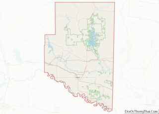
| State: | Oklahoma |
| County: | McCurtain County |
| Elevation: | 469 ft (143 m) |
| Total Area: | 6.23 sq mi (16.13 km²) |
| Land Area: | 6.15 sq mi (15.93 km²) |
| Water Area: | 0.07 sq mi (0.20 km²) |
| Total Population: | 4,228 |
| Population Density: | 687.26/sq mi (265.36/km²) |
| ZIP code: | 74728 |
| Area code: | 580 |
| FIPS code: | 4009100 |
| GNISfeature ID: | 2409915 |
| Website: | cityofbrokenbow.com |
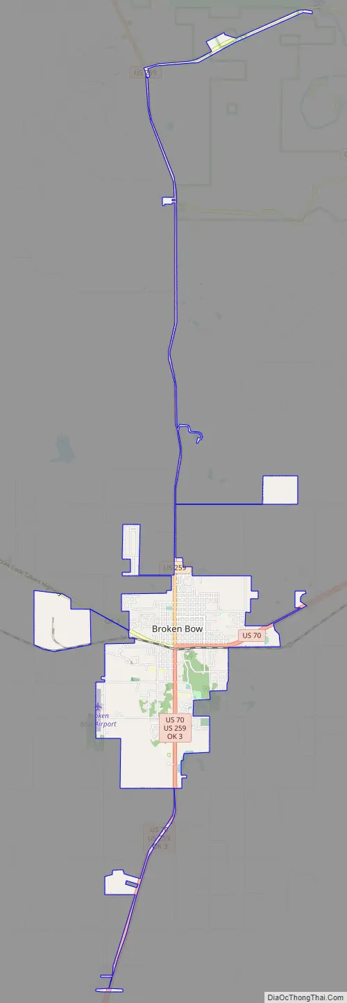
Online Interactive Map
Click on ![]() to view map in "full screen" mode.
to view map in "full screen" mode.
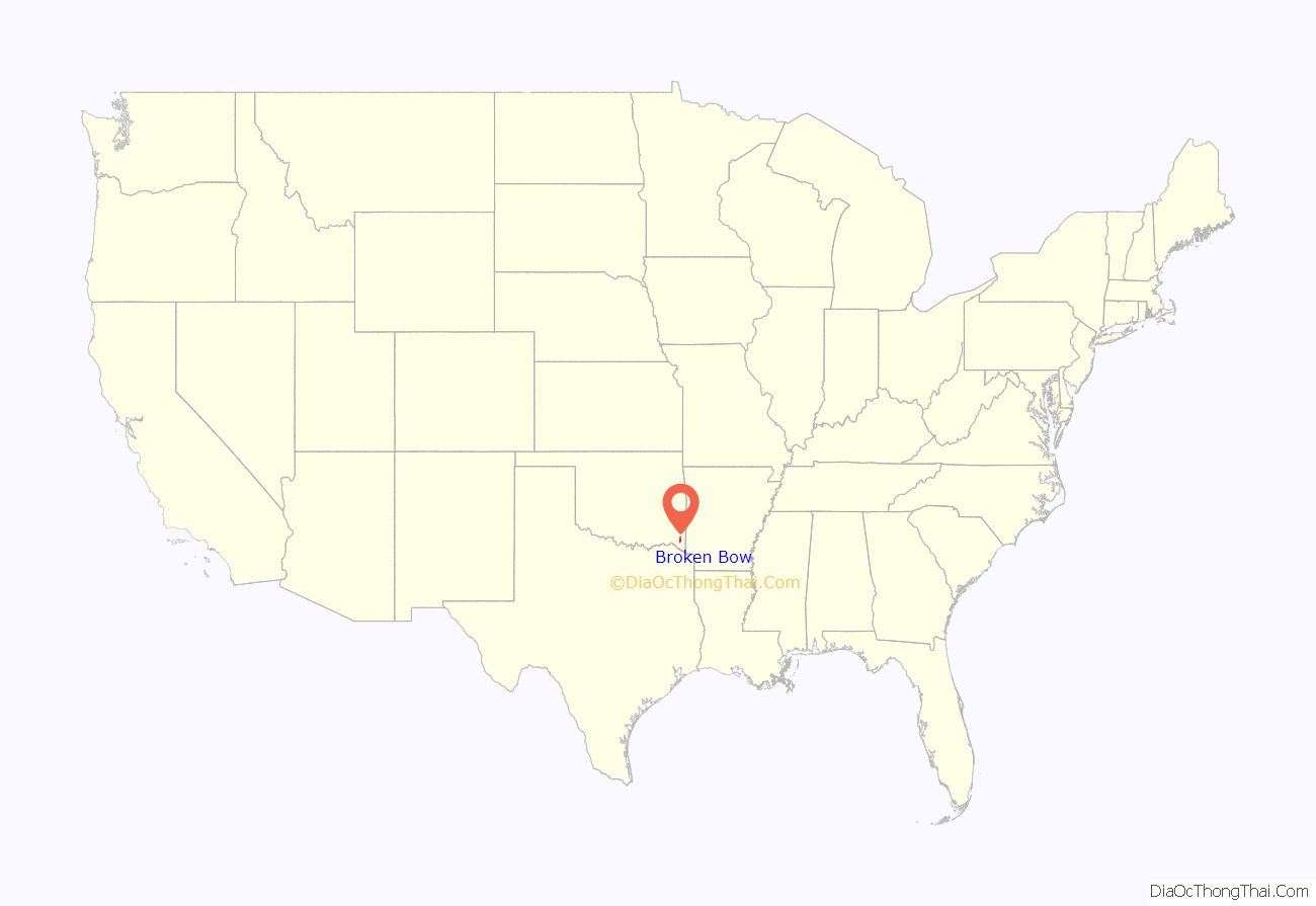
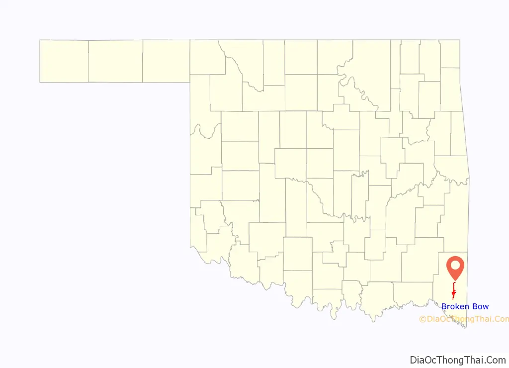
Broken Bow location map. Where is Broken Bow city?
History
The land that would become Broken Bow was owned by the Choctaw tribe prior to being settled by colonizers. Growing around a lumber company started by two brothers, Broken Bow had a population of 1,983, just a decade after its incorporation in 1911. The city lies within the Little Dixie region of Oklahoma, an area originally settled largely by Southerners seeking a new start following the American Civil War.
The city was the location of the wounding and capture of murderer Richard Wayne Snell in 1984, following his shootout with local police. Snell had shot and killed two men in Arkansas, a pawn shop owner and Arkansas State Trooper Louis P. Bryant.
At the time of its founding, Broken Bow was located in Bok Tuklo County of the Apukshunubbee District, one of three administrative super-regions of the Choctaw Nation.
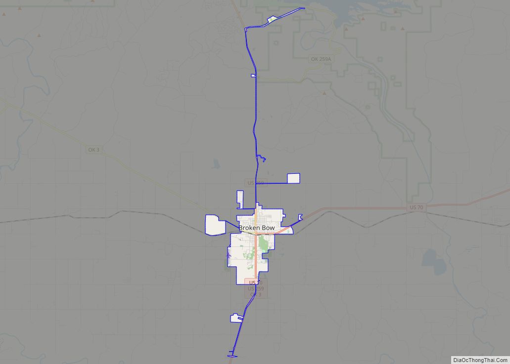
Broken Bow Road Map
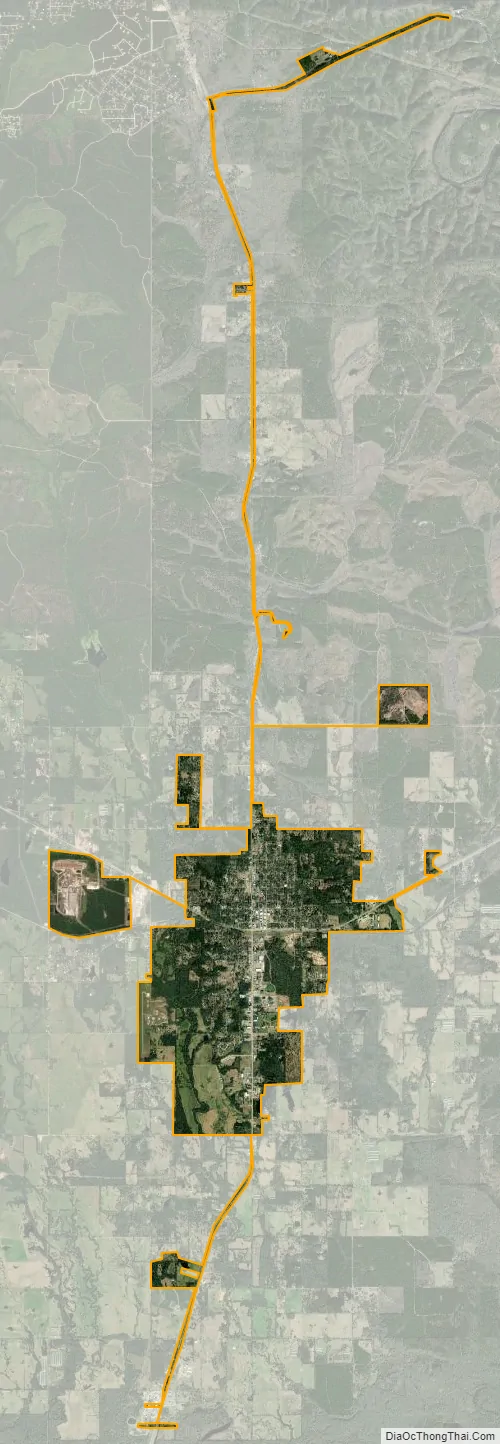
Broken Bow city Satellite Map
Geography
Broken Bow is located at 34°1′47″N 94°44′16″W / 34.02972°N 94.73778°W / 34.02972; -94.73778 (34.029784, −94.737656).
According to the United States Census Bureau, the city has a total area of 5.0 square miles (13 km), of which 5.0 square miles (13.0 km) is land, and 0.04 square miles (0.10 km) (0.40%) is water.
Broken Bow is served by US Route 70, US Route 259, and Oklahoma State Highway 3. Intercity bus service is available from Jefferson Lines in De Queen, Arkansas, about 24 miles east.
The city of Broken Bow stands in a unique transition zone between the Red River basin and the Ouachita Mountains. While the Ouachita Mountains are sandstone ridges that are considered the roughest land in Oklahoma, the Red River basin is considered fertile. North of Broken Bow is Broken Bow Lake, created by the United States Army Corps of Engineers by damming the Mountain Fork River. The lake’s creation forced Hochatown to relocate to its present-day location.
The Broken Bow Lake covers 14,220 acres (57.5 km) and has 180 miles (290 km) of shoreline. The lake contains small islands, bass and is surrounded by pine trees.
The city sits at the foothills of the Kiamichi Mountains, a subrange of the Ouachita Mountains. the Kiamichi Mountains sit within Le Flore, Pushmataha, and McCurtain counties near the towns of Poteau and Albion. The Kiamichi peaks line up south of the Kiamichi River and reach 2,500 feet (760 m) in elevation. The range is the namesake of Kiamichi Country, the official tourism designation for southeastern Oklahoma.
Black bear, coyote, bobcat, deer, minks, bats, bald eagles, and varieties of woodpeckers, doves, owls, and road runners are native to the Kiamichi Mountains region.
Climate
See also
Map of Oklahoma State and its subdivision:- Adair
- Alfalfa
- Atoka
- Beaver
- Beckham
- Blaine
- Bryan
- Caddo
- Canadian
- Carter
- Cherokee
- Choctaw
- Cimarron
- Cleveland
- Coal
- Comanche
- Cotton
- Craig
- Creek
- Custer
- Delaware
- Dewey
- Ellis
- Garfield
- Garvin
- Grady
- Grant
- Greer
- Harmon
- Harper
- Haskell
- Hughes
- Jackson
- Jefferson
- Johnston
- Kay
- Kingfisher
- Kiowa
- Latimer
- Le Flore
- Lincoln
- Logan
- Love
- Major
- Marshall
- Mayes
- McClain
- McCurtain
- McIntosh
- Murray
- Muskogee
- Noble
- Nowata
- Okfuskee
- Oklahoma
- Okmulgee
- Osage
- Ottawa
- Pawnee
- Payne
- Pittsburg
- Pontotoc
- Pottawatomie
- Pushmataha
- Roger Mills
- Rogers
- Seminole
- Sequoyah
- Stephens
- Texas
- Tillman
- Tulsa
- Wagoner
- Washington
- Washita
- Woods
- Woodward
- Alabama
- Alaska
- Arizona
- Arkansas
- California
- Colorado
- Connecticut
- Delaware
- District of Columbia
- Florida
- Georgia
- Hawaii
- Idaho
- Illinois
- Indiana
- Iowa
- Kansas
- Kentucky
- Louisiana
- Maine
- Maryland
- Massachusetts
- Michigan
- Minnesota
- Mississippi
- Missouri
- Montana
- Nebraska
- Nevada
- New Hampshire
- New Jersey
- New Mexico
- New York
- North Carolina
- North Dakota
- Ohio
- Oklahoma
- Oregon
- Pennsylvania
- Rhode Island
- South Carolina
- South Dakota
- Tennessee
- Texas
- Utah
- Vermont
- Virginia
- Washington
- West Virginia
- Wisconsin
- Wyoming