Winchester is a town in Okmulgee County, Oklahoma, United States. The population was 516 at the 2010 census, an increase of 21.7 percent from the figure of 424 recorded in 2000. It is a recently built residential community, having incorporated February 18, 1974.
This is not to be confused with the old settlement of Winchester in Woods County, Oklahoma near the Kansas border, west of the present-day U.S. Route 281 and west-southwest of Hardtner, Kansas.
| Name: | Winchester town |
|---|---|
| LSAD Code: | 43 |
| LSAD Description: | town (suffix) |
| State: | Oklahoma |
| County: | Okmulgee County |
| Elevation: | 899 ft (274 m) |
| Total Area: | 5.45 sq mi (14.13 km²) |
| Land Area: | 5.45 sq mi (14.13 km²) |
| Water Area: | 0.00 sq mi (0.00 km²) |
| Total Population: | 546 |
| Population Density: | 100.11/sq mi (38.65/km²) |
| FIPS code: | 4081575 |
| GNISfeature ID: | 1699805 |
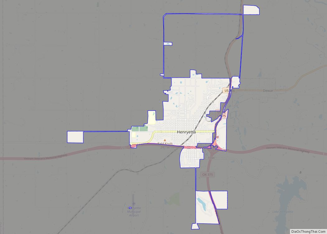
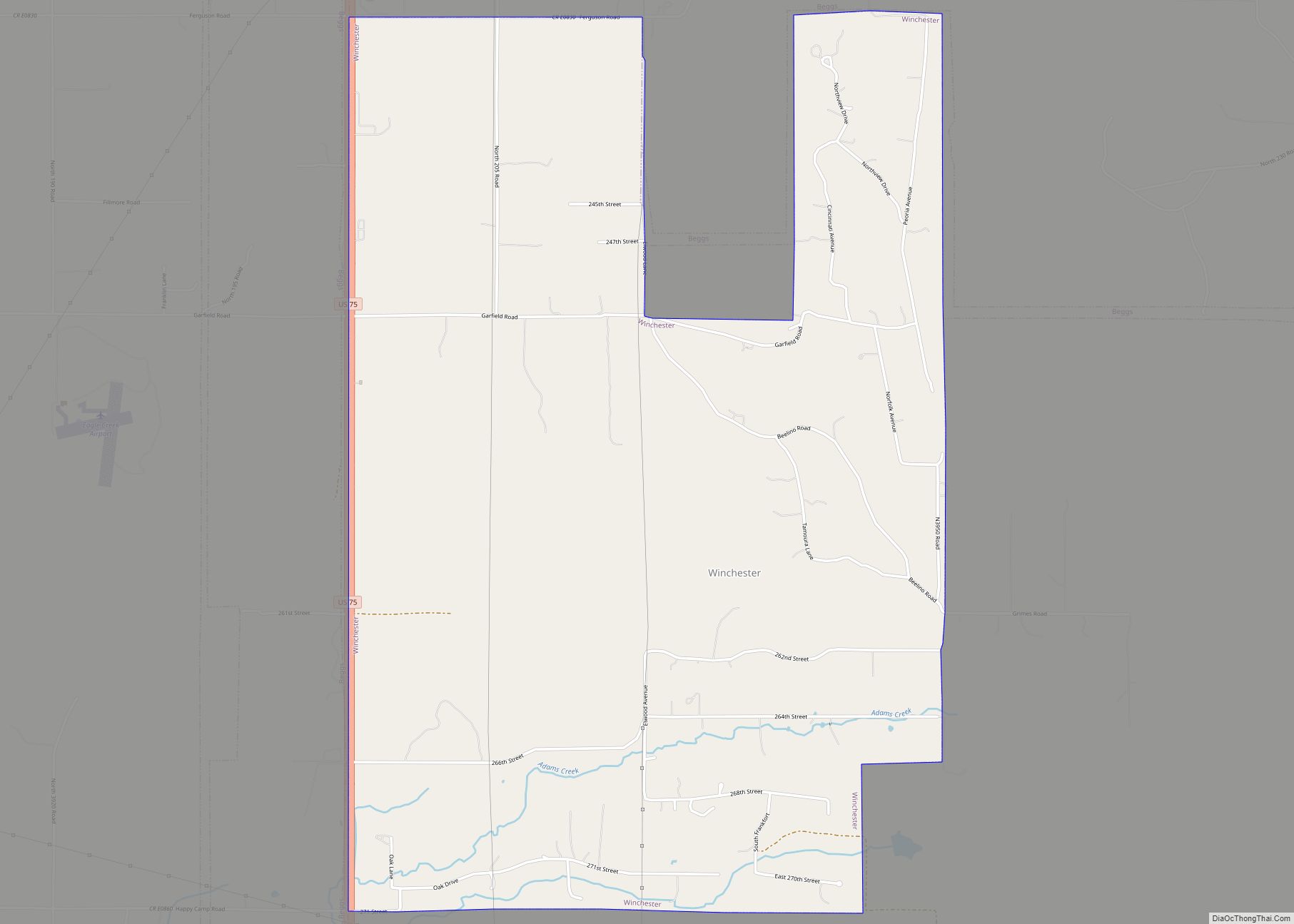
Online Interactive Map
Click on ![]() to view map in "full screen" mode.
to view map in "full screen" mode.
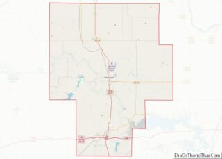
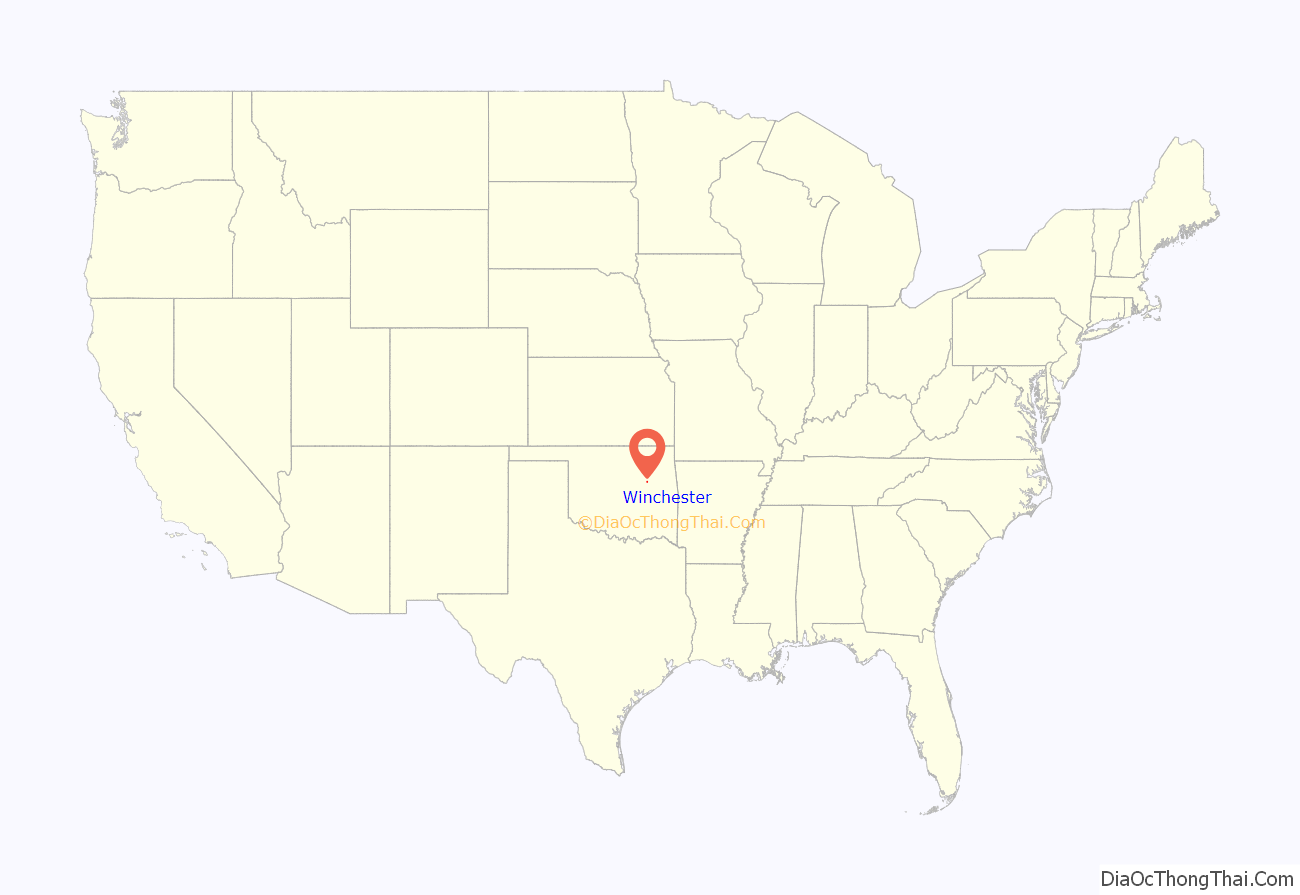
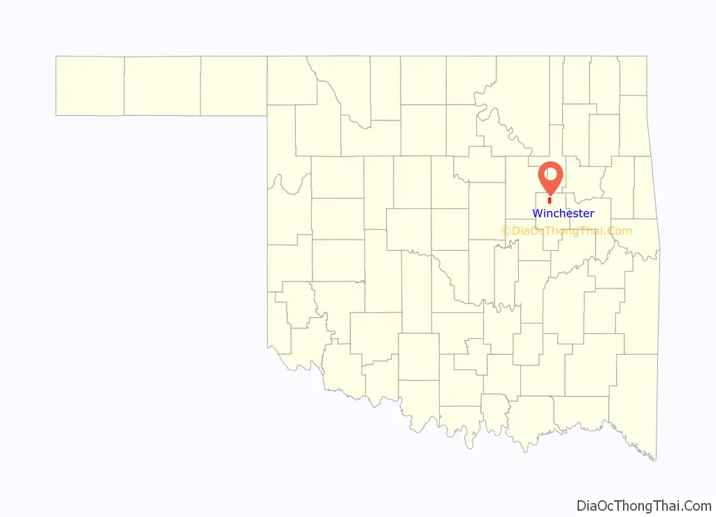
Winchester location map. Where is Winchester town?
History
Winchester began as a residential community on 2,500 acres of land acquired by William D. Crews in 1959. It was intended to attract people who were “tired and frustrated” with life in Tulsa. It incorporated February 18, 1974. By 1980, it had a population of 150. However, by 2000 it still had no retail businesses or municipal services. Telephone, mail, school, and fire-fighting services are supplied by the town of Beggs.
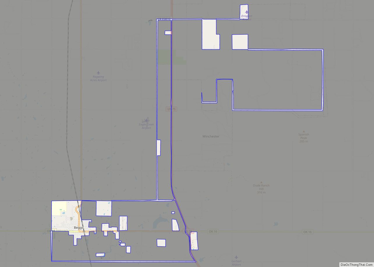
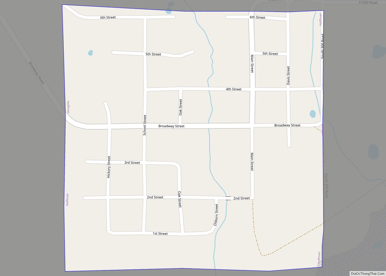
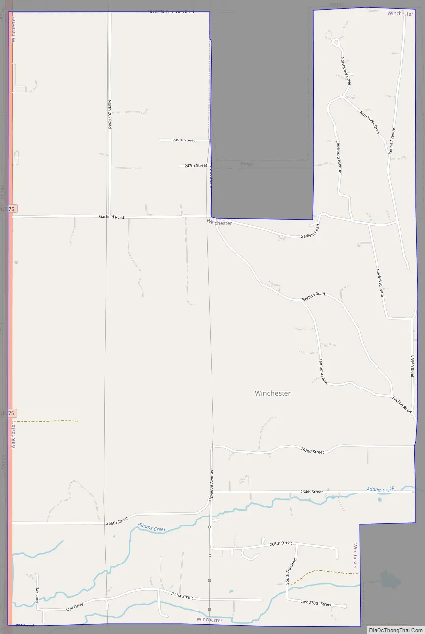
Winchester Road Map
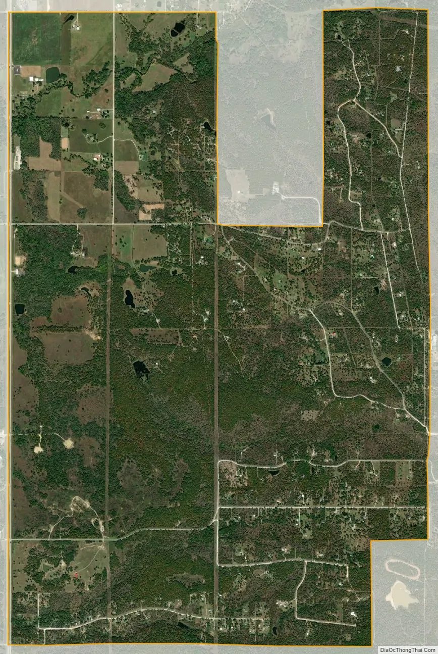
Winchester city Satellite Map
Geography
Winchester is located at 35°47′55″N 95°59′46″W / 35.79861°N 95.99611°W / 35.79861; -95.99611 (35.798601, -95.996241). This puts Winchester approximately 25 miles (40 km) south of downtown Tulsa. The town’s fenceline runs approximately from U.S. Route 75, a major national north/south artery, on the west side to approximately 3 miles (4.8 km) east of the highway, and from 241st St. in the north to Oklahoma State Highway 16 in the south. Winchester residents have a Beggs mailing address, but the town of Beggs is actually southwest of Winchester and on the opposite side of U.S. 75.
According to the United States Census Bureau, the town has a total area of 4.5 square miles (11.7 km), all land.
See also
Map of Oklahoma State and its subdivision:- Adair
- Alfalfa
- Atoka
- Beaver
- Beckham
- Blaine
- Bryan
- Caddo
- Canadian
- Carter
- Cherokee
- Choctaw
- Cimarron
- Cleveland
- Coal
- Comanche
- Cotton
- Craig
- Creek
- Custer
- Delaware
- Dewey
- Ellis
- Garfield
- Garvin
- Grady
- Grant
- Greer
- Harmon
- Harper
- Haskell
- Hughes
- Jackson
- Jefferson
- Johnston
- Kay
- Kingfisher
- Kiowa
- Latimer
- Le Flore
- Lincoln
- Logan
- Love
- Major
- Marshall
- Mayes
- McClain
- McCurtain
- McIntosh
- Murray
- Muskogee
- Noble
- Nowata
- Okfuskee
- Oklahoma
- Okmulgee
- Osage
- Ottawa
- Pawnee
- Payne
- Pittsburg
- Pontotoc
- Pottawatomie
- Pushmataha
- Roger Mills
- Rogers
- Seminole
- Sequoyah
- Stephens
- Texas
- Tillman
- Tulsa
- Wagoner
- Washington
- Washita
- Woods
- Woodward
- Alabama
- Alaska
- Arizona
- Arkansas
- California
- Colorado
- Connecticut
- Delaware
- District of Columbia
- Florida
- Georgia
- Hawaii
- Idaho
- Illinois
- Indiana
- Iowa
- Kansas
- Kentucky
- Louisiana
- Maine
- Maryland
- Massachusetts
- Michigan
- Minnesota
- Mississippi
- Missouri
- Montana
- Nebraska
- Nevada
- New Hampshire
- New Jersey
- New Mexico
- New York
- North Carolina
- North Dakota
- Ohio
- Oklahoma
- Oregon
- Pennsylvania
- Rhode Island
- South Carolina
- South Dakota
- Tennessee
- Texas
- Utah
- Vermont
- Virginia
- Washington
- West Virginia
- Wisconsin
- Wyoming