Okarche (/oʊˈkɑːrtʃi/ oh-KAR-chee) is a town in Canadian and Kingfisher counties in Oklahoma, United States, that is part of the Oklahoma City Metropolitan Area. The population was 1,215 at the 2010 census, a 9.5 percent increase from 1,110 at the 2000 census.
| Name: | Okarche town |
|---|---|
| LSAD Code: | 43 |
| LSAD Description: | town (suffix) |
| State: | Oklahoma |
| County: | Canadian County, Kingfisher County |
| Elevation: | 1,240 ft (380 m) |
| Total Area: | 2.24 sq mi (5.81 km²) |
| Land Area: | 2.20 sq mi (5.70 km²) |
| Water Area: | 0.04 sq mi (0.11 km²) |
| Total Population: | 1,141 |
| Population Density: | 518.64/sq mi (200.22/km²) |
| ZIP code: | 73762 |
| Area code: | 405/572 |
| FIPS code: | 4054050 |
| GNISfeature ID: | 2413074 |
Online Interactive Map
Click on ![]() to view map in "full screen" mode.
to view map in "full screen" mode.
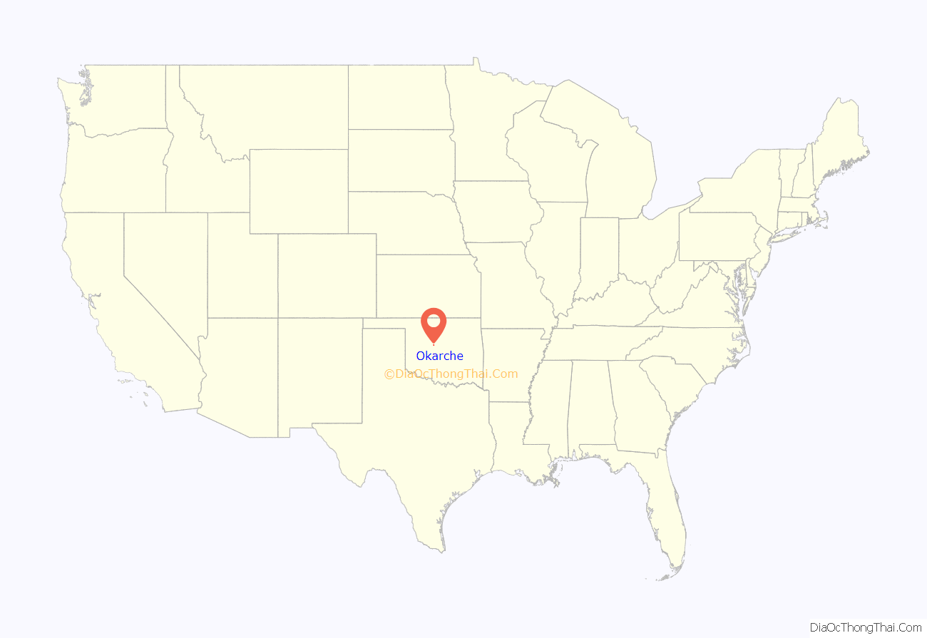
Okarche location map. Where is Okarche town?
History
Okarche is located on land that, before 1830, was within the historic area of the Wichita people. The location was in territory assigned to the Creek and Seminole people when removal of tribes from the southeastern United States began in 1830. After the Civil War, parts of Indian Territory were designated for resettlement of Plains Indians. The site of the future town of Okarche was just inside the eastern border of the Cheyenne and Arapaho reservation.
From 1867 to 1884, cattle were driven through the area on the Chisholm Trail from Texas to railheads in Kansas. Later the Chicago, Rock Island and Pacific Railroad and the state road which would become the Meridian Highway and U.S. Highway 81 would follow roughly the same route through Oklahoma Territory.
On March 2, 1887, the U.S. Congress approved construction of a railroad through Indian Territory. The Chicago, Kansas and Nebraska Railway was given a 100-foot (30 m) right of way through the territory and authorized to take additional right of way for stations every 10 miles (16 km) of track. Railway assets would be turned over to the CRI&P in June 1890. Construction proceeded southward from Caldwell, Kansas, and was completed to Pond Creek by April 1889 and to El Reno in January 1890. The railway depot where Okarche was platted was completed at that time.
The Okarche post office was established June 28, 1890. Cheyenne and Arapaho lands were opened to settlement by land run on April 19, 1892. The town was incorporated in 1905 – two years before statehood. The name of the town is derived from parts of three words, Oklahoma (OK), Arapaho (AR), and Cheyenne (CHE). The Southern Arapaho and Cheyenne Native American tribes had been relocated to Oklahoma from the northern Great Plains in the late 19th century. The town’s population hovered in the 400s for more than three decades after statehood had risen to over 1,200 by 2010.
By the late 1890s, German immigrants were a greater part of the population and German a widely used language of the community. Many had come to America in the wave of 1.5 million German immigrants to the United States in the 1880s and lived in states to the north such as Iowa, Nebraska, or Missouri before coming to Oklahoma Territory. Catholic and Lutheran churches with schools were established as immigrants sought to keep faith and customs from the old country alive in their new home. St. John’s Lutheran Church was founded in 1892 and Holy Trinity Catholic Church in 1893. Worship and education was conducted principally in German until American entry into World War I in 1917. Bilingual worship would continue for about two decades.
When federal highway numbering was implemented in November 1926, the Meridian Highway through Okarche was designated US-81 and fully paved in the Okarche area by 1931. The Northwest Highway (OK-3) was opened as a gravel-surfaced road in 1939 and fully paved by 1947. Okarche now has four-lane divided highway access to neighboring communities, including the Oklahoma City metro area. The Chicago, Rock Island and Pacific Railroad entered its final bankruptcy in 1975. The Union Pacific Railroad now operates on the former Rock Island route.
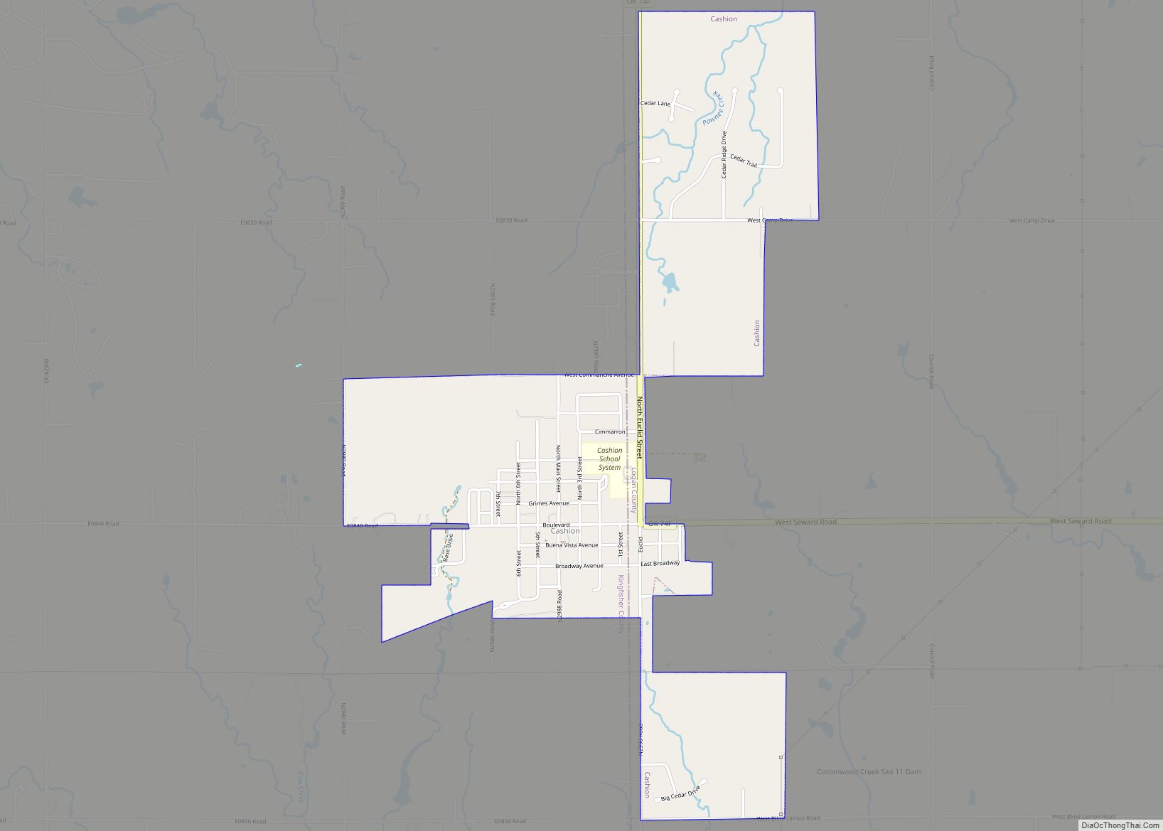
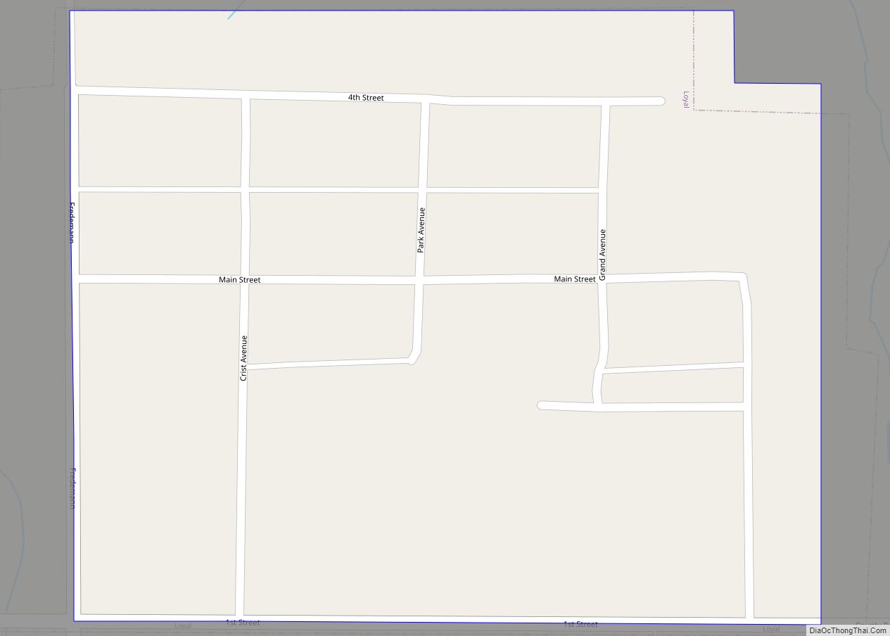
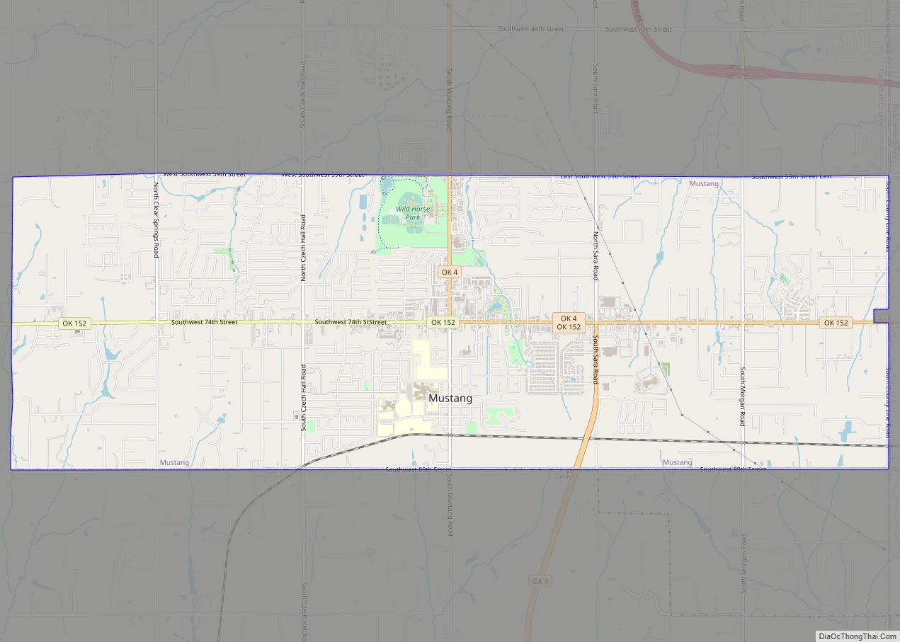
Okarche Road Map
Okarche city Satellite Map
Geography
Okarche is located on the boundary of Kingfisher and Canadian counties. U.S. Route 81 leads south 14 miles (23 km) to El Reno and 16 miles (26 km) to Interstate 40, and 10 miles (16 km) north of Kingfisher. Oklahoma State Highway 3 leads southeast 34 miles (55 km) to Oklahoma City.
According to the United States Census Bureau, Okarche has a total area of 1.9 square miles (4.9 km), of which 1.6 acres (6,662 m), or 0.14%, is water.
See also
Map of Oklahoma State and its subdivision:- Adair
- Alfalfa
- Atoka
- Beaver
- Beckham
- Blaine
- Bryan
- Caddo
- Canadian
- Carter
- Cherokee
- Choctaw
- Cimarron
- Cleveland
- Coal
- Comanche
- Cotton
- Craig
- Creek
- Custer
- Delaware
- Dewey
- Ellis
- Garfield
- Garvin
- Grady
- Grant
- Greer
- Harmon
- Harper
- Haskell
- Hughes
- Jackson
- Jefferson
- Johnston
- Kay
- Kingfisher
- Kiowa
- Latimer
- Le Flore
- Lincoln
- Logan
- Love
- Major
- Marshall
- Mayes
- McClain
- McCurtain
- McIntosh
- Murray
- Muskogee
- Noble
- Nowata
- Okfuskee
- Oklahoma
- Okmulgee
- Osage
- Ottawa
- Pawnee
- Payne
- Pittsburg
- Pontotoc
- Pottawatomie
- Pushmataha
- Roger Mills
- Rogers
- Seminole
- Sequoyah
- Stephens
- Texas
- Tillman
- Tulsa
- Wagoner
- Washington
- Washita
- Woods
- Woodward
- Alabama
- Alaska
- Arizona
- Arkansas
- California
- Colorado
- Connecticut
- Delaware
- District of Columbia
- Florida
- Georgia
- Hawaii
- Idaho
- Illinois
- Indiana
- Iowa
- Kansas
- Kentucky
- Louisiana
- Maine
- Maryland
- Massachusetts
- Michigan
- Minnesota
- Mississippi
- Missouri
- Montana
- Nebraska
- Nevada
- New Hampshire
- New Jersey
- New Mexico
- New York
- North Carolina
- North Dakota
- Ohio
- Oklahoma
- Oregon
- Pennsylvania
- Rhode Island
- South Carolina
- South Dakota
- Tennessee
- Texas
- Utah
- Vermont
- Virginia
- Washington
- West Virginia
- Wisconsin
- Wyoming
