Old Green is a census-designated place (CDP) in Adair County, Oklahoma, United States. The population was 315 at the 2010 census.
| Name: | Old Green CDP |
|---|---|
| LSAD Code: | 57 |
| LSAD Description: | CDP (suffix) |
| State: | Oklahoma |
| County: | Adair County |
| Elevation: | 1,093 ft (333 m) |
| Total Area: | 3.16 sq mi (8.18 km²) |
| Land Area: | 3.14 sq mi (8.14 km²) |
| Water Area: | 0.02 sq mi (0.04 km²) |
| Total Population: | 310 |
| Population Density: | 98.63/sq mi (38.08/km²) |
| FIPS code: | 4055285 |
| GNISfeature ID: | 2584387 |
Online Interactive Map
Click on ![]() to view map in "full screen" mode.
to view map in "full screen" mode.
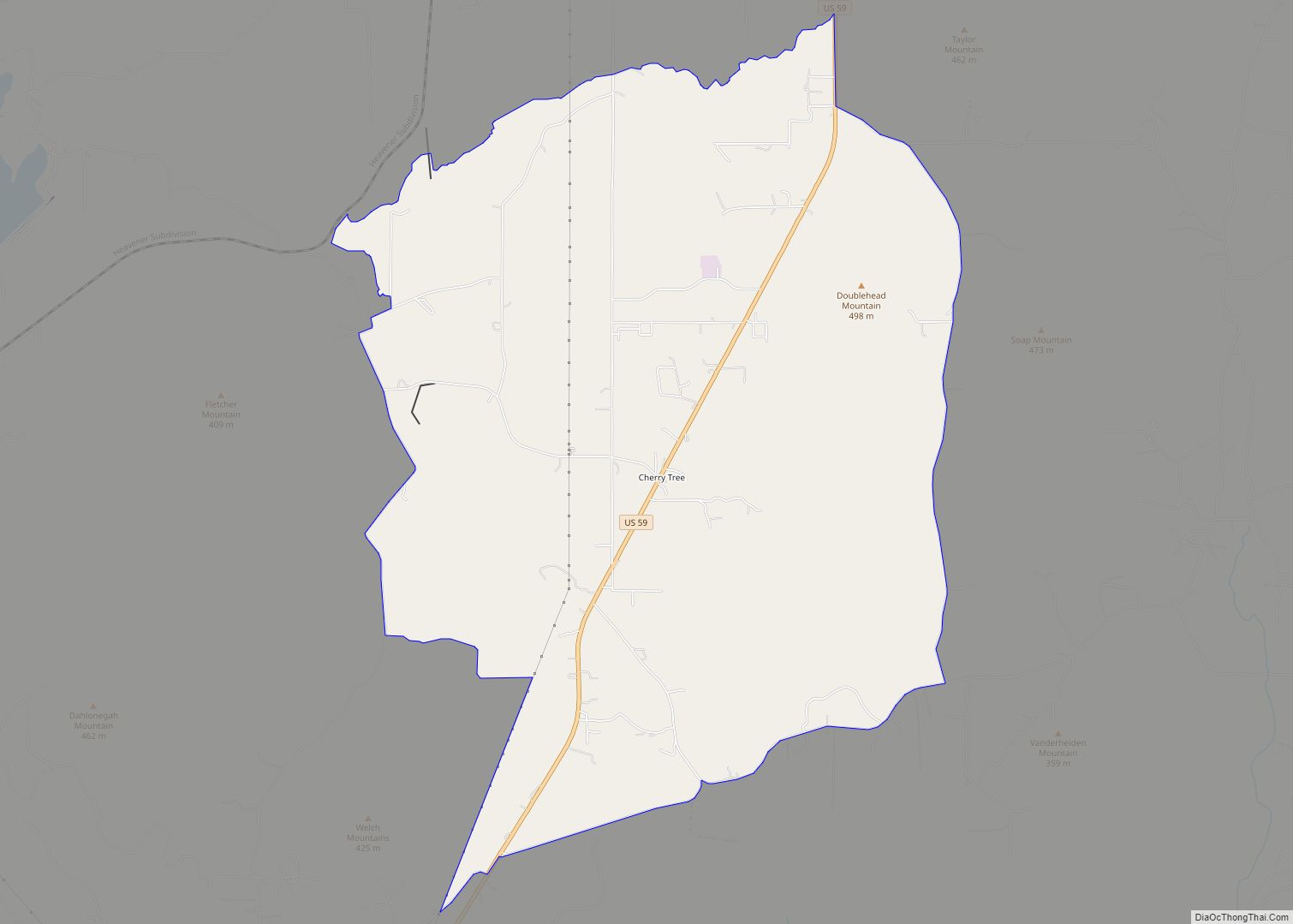
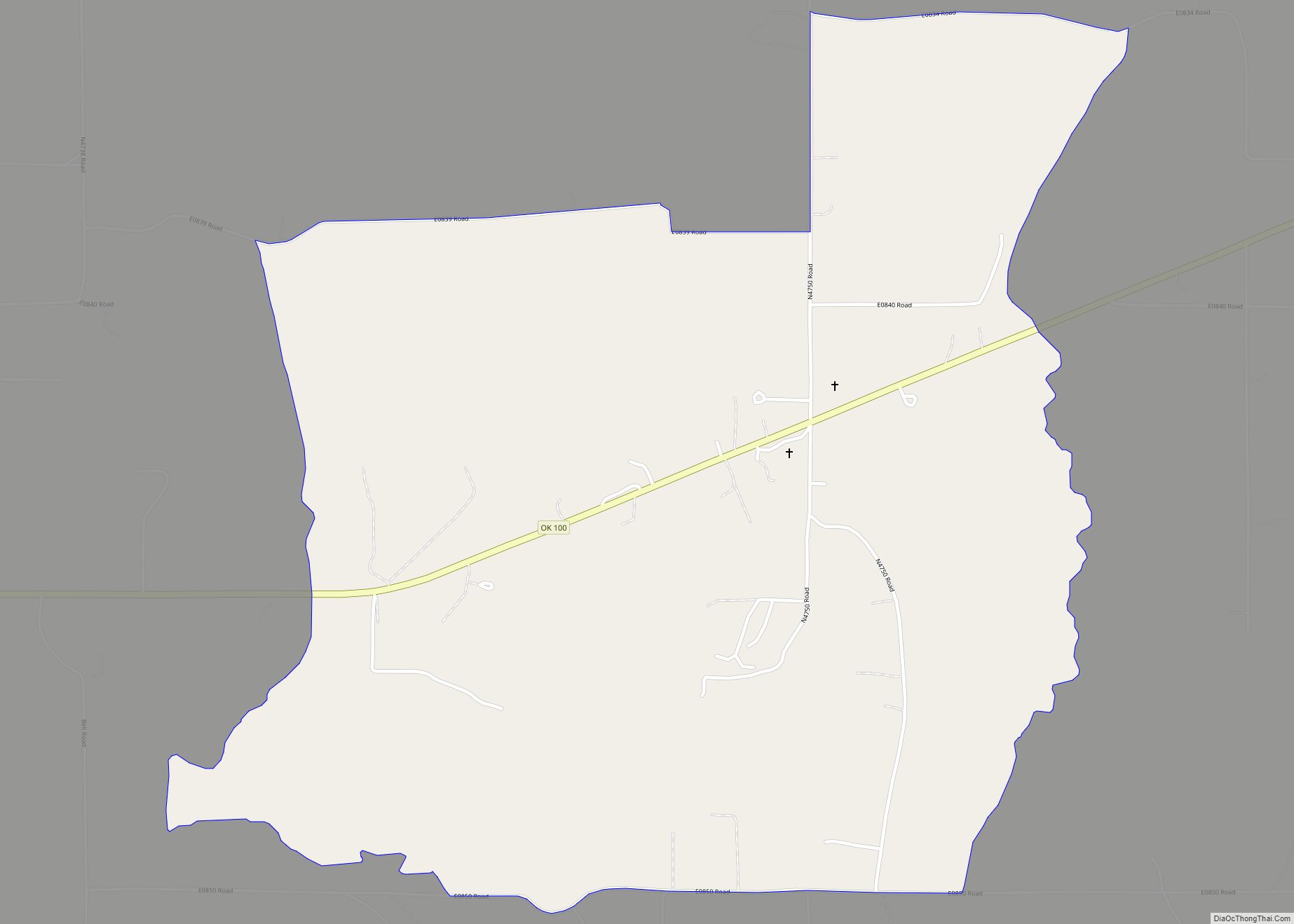
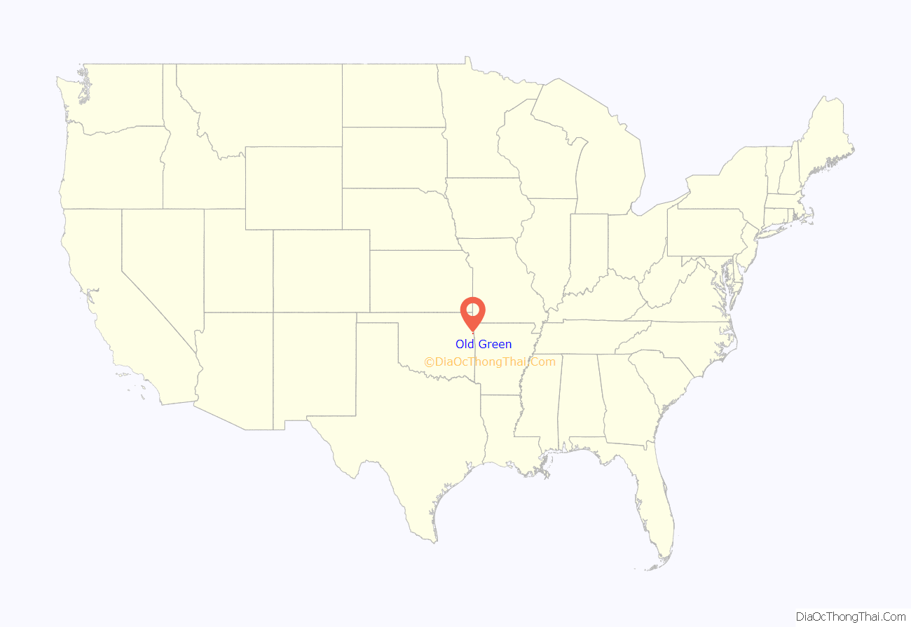
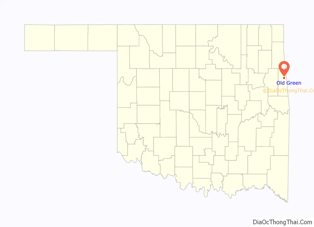
Old Green location map. Where is Old Green CDP?
Old Green Road Map
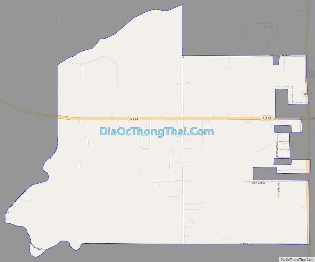
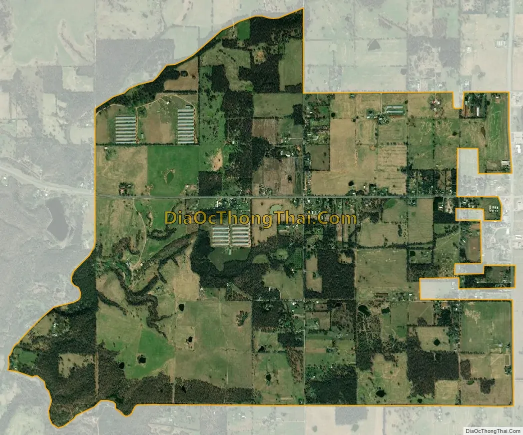
Old Green city Satellite Map
Geography
Old Green is located at 35°59′16″N 94°36′5″W / 35.98778°N 94.60139°W / 35.98778; -94.60139, along the western edge of the town of Westville. U.S. Route 62 runs east–west through the center of the community, and U.S. Route 59, running north–south, forms most of the eastern border. It is 14 miles (23 km) south to Stilwell, the county seat, 26 miles (42 km) west to Tahlequah, 15 miles (24 km) north to West Siloam Springs on the Arkansas border, and 29 miles (47 km) east to Fayetteville, Arkansas.
According to the United States Census Bureau, the CDP has a total area of 3.2 square miles (8.4 km), of which 0.023 square miles (0.06 km), or 0.74%, is water.
See also
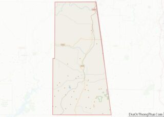
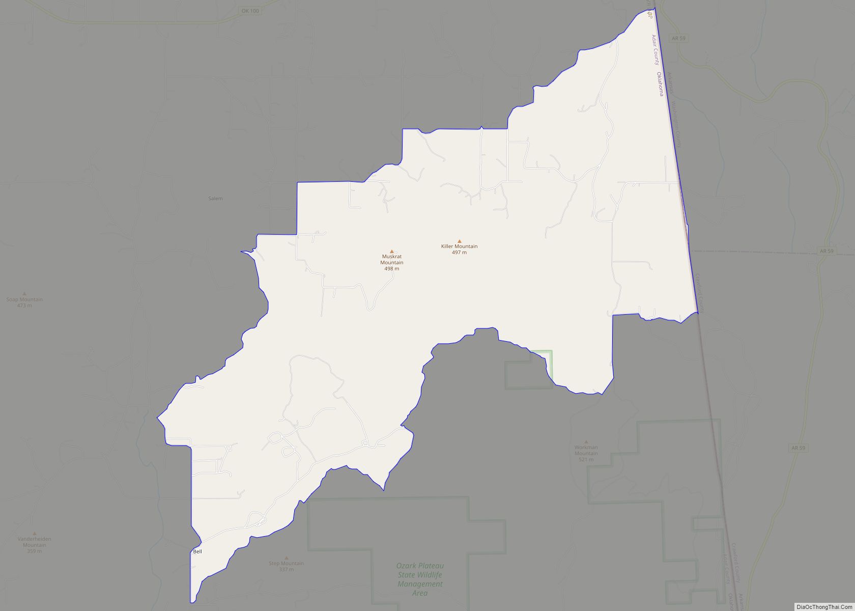
Map of Oklahoma State and its subdivision:- Adair
- Alfalfa
- Atoka
- Beaver
- Beckham
- Blaine
- Bryan
- Caddo
- Canadian
- Carter
- Cherokee
- Choctaw
- Cimarron
- Cleveland
- Coal
- Comanche
- Cotton
- Craig
- Creek
- Custer
- Delaware
- Dewey
- Ellis
- Garfield
- Garvin
- Grady
- Grant
- Greer
- Harmon
- Harper
- Haskell
- Hughes
- Jackson
- Jefferson
- Johnston
- Kay
- Kingfisher
- Kiowa
- Latimer
- Le Flore
- Lincoln
- Logan
- Love
- Major
- Marshall
- Mayes
- McClain
- McCurtain
- McIntosh
- Murray
- Muskogee
- Noble
- Nowata
- Okfuskee
- Oklahoma
- Okmulgee
- Osage
- Ottawa
- Pawnee
- Payne
- Pittsburg
- Pontotoc
- Pottawatomie
- Pushmataha
- Roger Mills
- Rogers
- Seminole
- Sequoyah
- Stephens
- Texas
- Tillman
- Tulsa
- Wagoner
- Washington
- Washita
- Woods
- Woodward
- Alabama
- Alaska
- Arizona
- Arkansas
- California
- Colorado
- Connecticut
- Delaware
- District of Columbia
- Florida
- Georgia
- Hawaii
- Idaho
- Illinois
- Indiana
- Iowa
- Kansas
- Kentucky
- Louisiana
- Maine
- Maryland
- Massachusetts
- Michigan
- Minnesota
- Mississippi
- Missouri
- Montana
- Nebraska
- Nevada
- New Hampshire
- New Jersey
- New Mexico
- New York
- North Carolina
- North Dakota
- Ohio
- Oklahoma
- Oregon
- Pennsylvania
- Rhode Island
- South Carolina
- South Dakota
- Tennessee
- Texas
- Utah
- Vermont
- Virginia
- Washington
- West Virginia
- Wisconsin
- Wyoming