Prue is a town in southern Osage County, Oklahoma, United States. The population was 465 at the 2010 census, up 7.4 percent from the figure of 433 recorded in 2000. The town was named for Henry Prue, who owned the original townsite. Prue was relocated when Lake Keystone was built, and is sometimes called “New Prue”.
| Name: | Prue town |
|---|---|
| LSAD Code: | 43 |
| LSAD Description: | town (suffix) |
| State: | Oklahoma |
| County: | Osage County |
| Elevation: | 768 ft (234 m) |
| Total Area: | 0.46 sq mi (1.19 km²) |
| Land Area: | 0.46 sq mi (1.19 km²) |
| Water Area: | 0.00 sq mi (0.00 km²) |
| Total Population: | 374 |
| Population Density: | 816.59/sq mi (315.50/km²) |
| ZIP code: | 74060 |
| Area code: | 539/918 |
| FIPS code: | 4060850 |
| GNISfeature ID: | 1096944 |
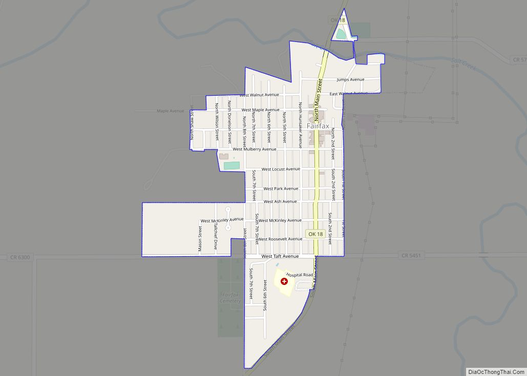
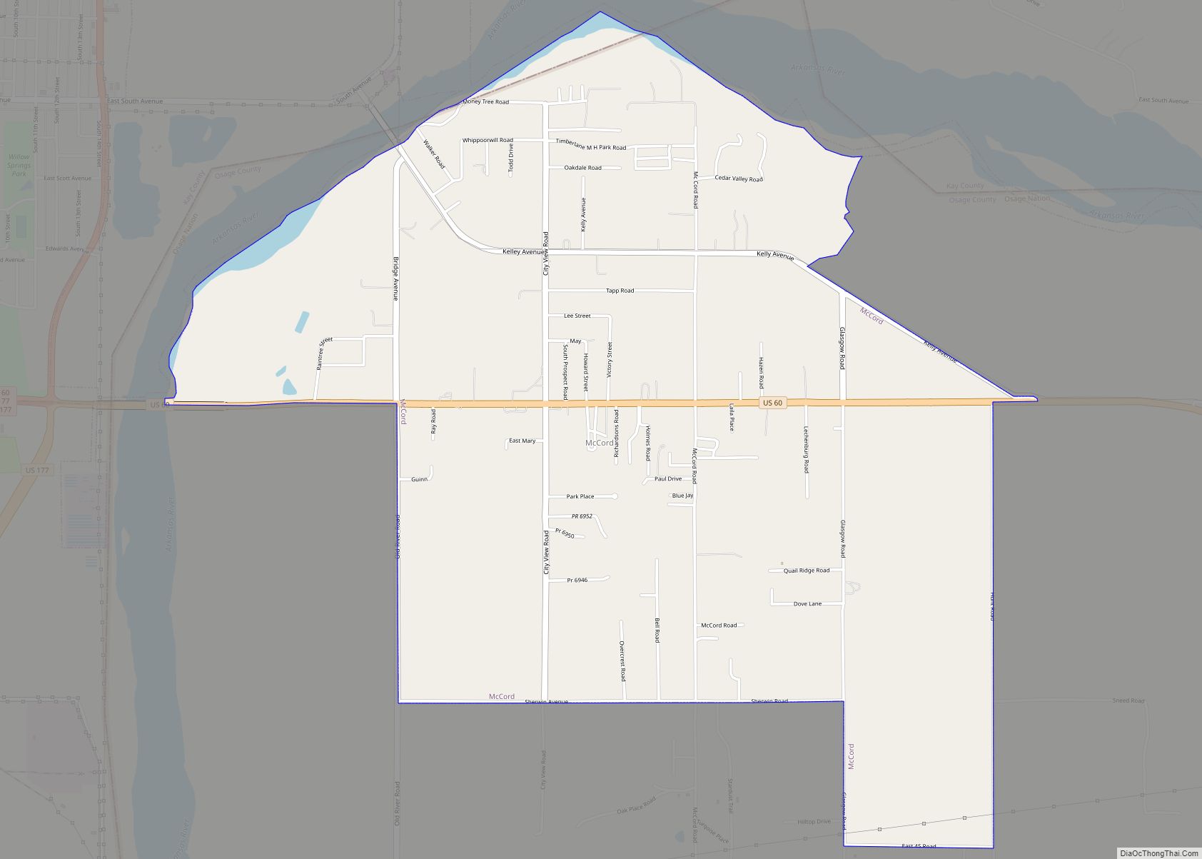
Online Interactive Map
Click on ![]() to view map in "full screen" mode.
to view map in "full screen" mode.
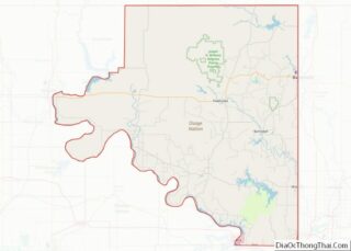
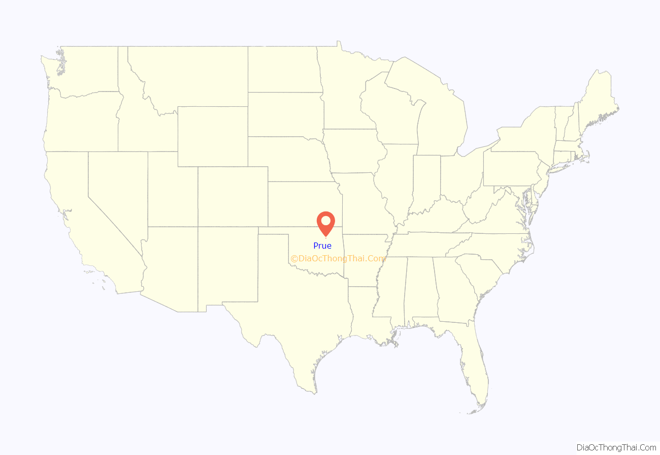
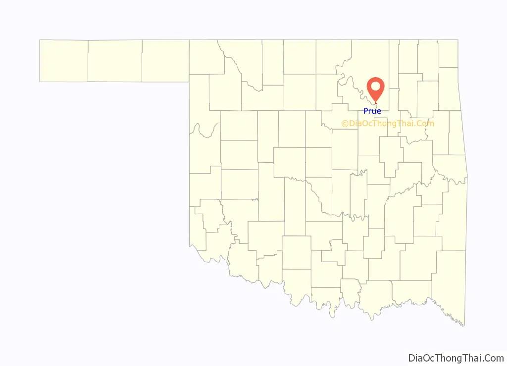
Prue location map. Where is Prue town?
History
Prue was a small settlement when the Missouri, Kansas and Oklahoma Railroad (later the Missouri–Kansas–Texas Railroad, often called the MKT or “Katy”) extended its line from Wybark (near Muskogee) to Osage via Prue in 1902–03. The Prue post office was established in September 1905, and town lots were sold at public auction beginning on March 22, 1911.
Oil exploration around Prue began circa 1911, and the Prue Field was opened east-northeast of town in 1920, becoming a major source of natural gas. The nearby East Osage City and Twin Creek oil fields have continued producing into the twenty-first century.
Keystone Dam construction began in 1956. By the time of completion in 1964, the lake covered 90 percent of the original town. Railroad service to Prue ended in 1964.
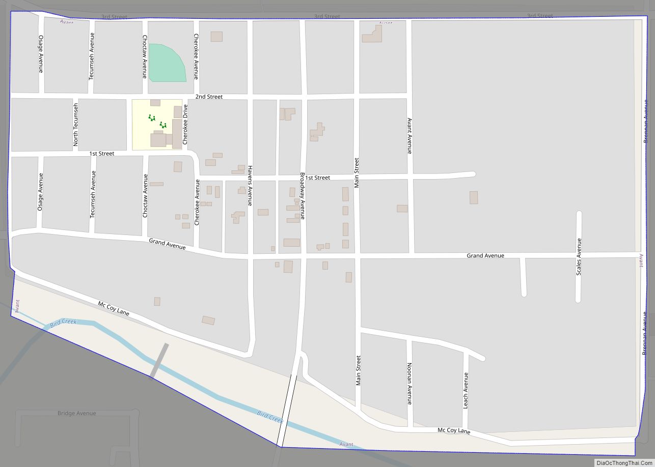
Prue Road Map
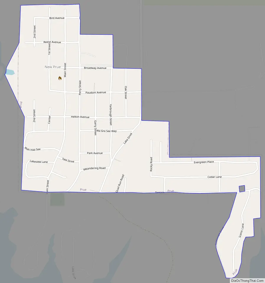
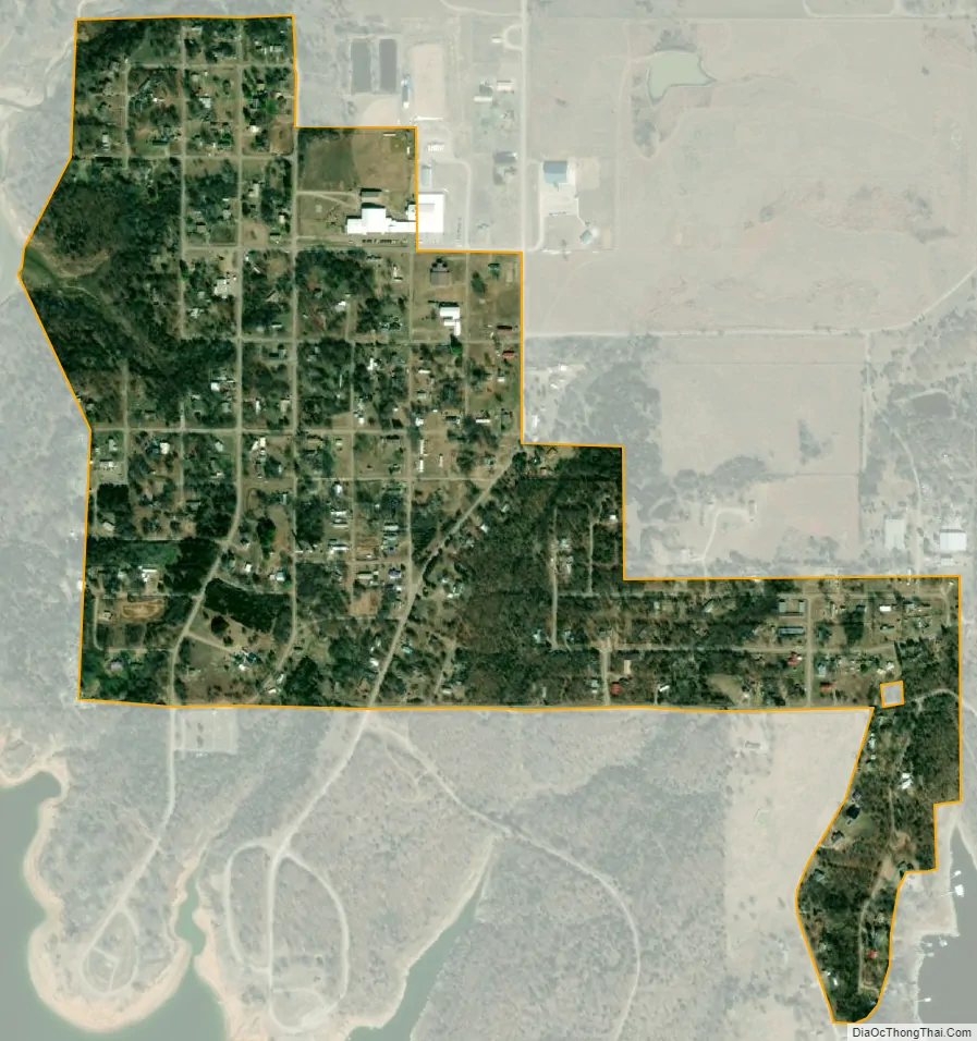
Prue city Satellite Map
Geography
Prue is located at 36°14′59″N 96°16′3″W / 36.24972°N 96.26750°W / 36.24972; -96.26750 (36.249730, -96.267403). It is 46 miles (74 km) south of Pawhuska and 30 miles (48 km) northwest of Tulsa. Prue lies on the Arkansas River arm of Lake Keystone.
According to the United States Census Bureau, the town has a total area of 0.4 square miles (1.0 km), all land.
Prue is designated as “New Prue” because the original town is now under Lake Keystone, created when the Keystone Dam was completed in 1964.
See also
Map of Oklahoma State and its subdivision:- Adair
- Alfalfa
- Atoka
- Beaver
- Beckham
- Blaine
- Bryan
- Caddo
- Canadian
- Carter
- Cherokee
- Choctaw
- Cimarron
- Cleveland
- Coal
- Comanche
- Cotton
- Craig
- Creek
- Custer
- Delaware
- Dewey
- Ellis
- Garfield
- Garvin
- Grady
- Grant
- Greer
- Harmon
- Harper
- Haskell
- Hughes
- Jackson
- Jefferson
- Johnston
- Kay
- Kingfisher
- Kiowa
- Latimer
- Le Flore
- Lincoln
- Logan
- Love
- Major
- Marshall
- Mayes
- McClain
- McCurtain
- McIntosh
- Murray
- Muskogee
- Noble
- Nowata
- Okfuskee
- Oklahoma
- Okmulgee
- Osage
- Ottawa
- Pawnee
- Payne
- Pittsburg
- Pontotoc
- Pottawatomie
- Pushmataha
- Roger Mills
- Rogers
- Seminole
- Sequoyah
- Stephens
- Texas
- Tillman
- Tulsa
- Wagoner
- Washington
- Washita
- Woods
- Woodward
- Alabama
- Alaska
- Arizona
- Arkansas
- California
- Colorado
- Connecticut
- Delaware
- District of Columbia
- Florida
- Georgia
- Hawaii
- Idaho
- Illinois
- Indiana
- Iowa
- Kansas
- Kentucky
- Louisiana
- Maine
- Maryland
- Massachusetts
- Michigan
- Minnesota
- Mississippi
- Missouri
- Montana
- Nebraska
- Nevada
- New Hampshire
- New Jersey
- New Mexico
- New York
- North Carolina
- North Dakota
- Ohio
- Oklahoma
- Oregon
- Pennsylvania
- Rhode Island
- South Carolina
- South Dakota
- Tennessee
- Texas
- Utah
- Vermont
- Virginia
- Washington
- West Virginia
- Wisconsin
- Wyoming