Sand Springs is a city in Osage, Creek and Tulsa counties in the U.S. state of Oklahoma. A western suburb of Tulsa, it is located predominantly in Tulsa County. The population was 19,874 in the 2020 U. S. Census, an increase of 5.1 percent from the figure of 18,906 recorded in 2010.
| Name: | Sand Springs city |
|---|---|
| LSAD Code: | 25 |
| LSAD Description: | city (suffix) |
| State: | Oklahoma |
| County: | Osage County, Tulsa County |
| Elevation: | 676 ft (206 m) |
| Total Area: | 22.07 sq mi (57.16 km²) |
| Land Area: | 19.82 sq mi (51.33 km²) |
| Water Area: | 2.25 sq mi (5.84 km²) |
| Total Population: | 19,874 |
| Population Density: | 1,002.88/sq mi (387.21/km²) |
| ZIP code: | 74063 |
| Area code: | 539/918 |
| FIPS code: | 4065300 |
| GNISfeature ID: | 1097783 |
| Website: | www.sandspringsok.org |
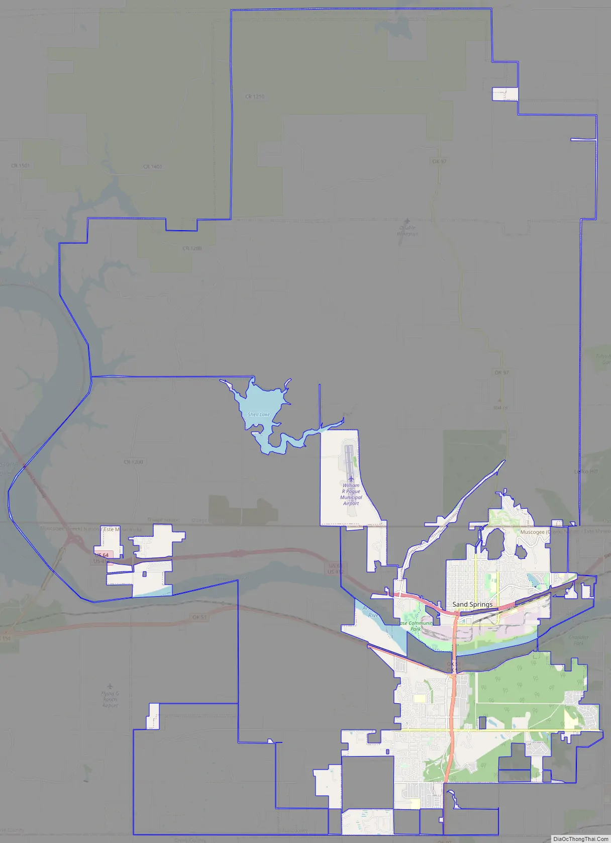
Online Interactive Map
Click on ![]() to view map in "full screen" mode.
to view map in "full screen" mode.
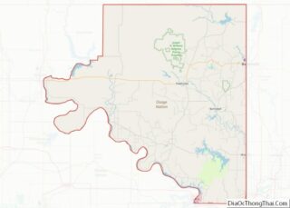
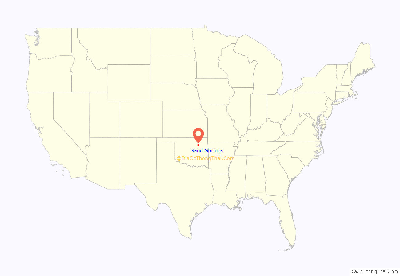
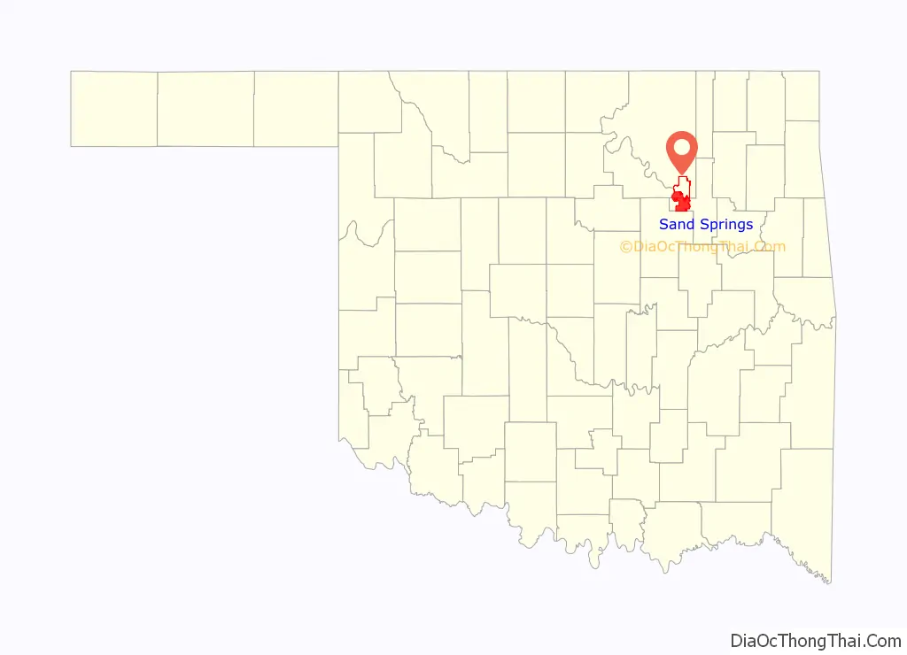
Sand Springs location map. Where is Sand Springs city?
History
The city was founded in 1911, by philanthropist Charles Page, a wealthy businessman in Oklahoma. He envisioned Sand Springs as a haven for orphans and widows. Page helped found and develop Sand Springs as a model city that included all components of a total community.
Page bought 160 acres of land in Tulsa County in 1908, intending to build a home for orphan children. The first 27 children, who had been abandoned by the Hook & Anchor Orphanage in Tulsa, were housed in a tent. This was soon replaced by a frame building large enough to house 50 children.
Page decided to form a model community, to be called Sand Springs, on land west of the children’s home. He offered free land to any person who wished to move there, and a $20,000 bonus (the amount varied and he also offered free utilities) to companies that would relocate there. In 1911, Page created the Sand Springs Railway, an interurban connecting Sand Springs to Tulsa. The townsite was laid out the same year. Sand Springs was incorporated as a city in 1912, with a population of 400.
In 1911, Page also built the Sand Springs Power Plant, on the southeast corner of Main Street and Morrow Road. It anchored an area that Page intended to use for industrial development. Several significant additions were made to the facility, and it was the sole source of electric power for Sand Springs until 1947.
Some of the earliest manufacturing industries were: Kerr Glass Manufacturing; Commander Mills, Kerr, Hubbard and Kelley Lamp, and Chimney; Southwest Box Company; Empire Chandelier Company; and Sinclair Prairie Refining Company. Medical and social welfare institutions other than the Sand Springs Home included the Oakwood Sanitorium for nervous and mental diseases, Poole Hospital, the Salvation Army Maternity Home, and the Sand Springs School for the Deaf. Sand Springs became a center of glass production in Oklahoma. Kerr Glass Manufacturing moved to Sand Springs from Chicago in 1913. It and the Alexander H. Kerr company, which made fruit jars, were the only glass companies remaining in business as recently as 1955. In 1965, Sand Springs annexed Prattville, on the south side of the Arkansas River, an event that would explain the large jump in population in the 1960s.
Sand Springs Children’s Home is still operating, caring for school-age children in a family-style setting, and with an Independent Living program for graduated students. The facility supports Camp Charles, which is an eight-acre camp in Grove on Grand Lake, where the kids get to camp, cookout, swim, ski and take boat rides. The Charles Page Family Village, formerly known as the Widow’s colony, provides duplex housing to 110 mothers and their children at no cost for rent, utilities or home maintenance.
An EF2 tornado hit Sand Springs on March 25, 2015, killing one resident, injuring 30 citizens, and damaging 50 mobile homes.
On November 26, 2018, Clyde Boyd Middle School had a CO leak. The leak started sometime during the morning. Between 11:15 a.m. and 12:58 p.m., five students went home ill, and between 1:15 to 1:35, seven more students became sick. At approximately 2:27, an announcement on the intercom instructed all the students to “go to the new gym”. Many students went to hospital from carbon monoxide poisoning. “There was no evidence of the presence of carbon monoxide in the 6th Grade Center”. Over 50 students were sent to nearby hospitals. The school didn’t have carbon monoxide detectors at the time, which the district said: “it’ll resolve”. The school was closed for several days while the problem was fixed. The district has now installed proper carbon monoxide detectors.
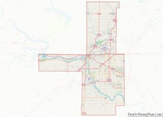
Sand Springs Road Map
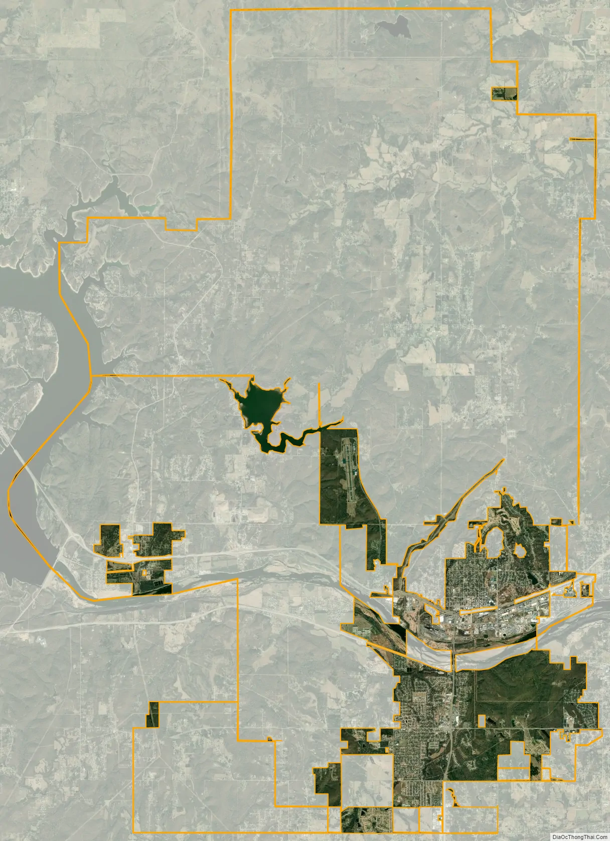
Sand Springs city Satellite Map
Geography
Sand Springs is located at 36°8′23″N 96°6′32″W / 36.13972°N 96.10889°W / 36.13972; -96.10889 (36.1398102, -96.1088911). According to the United States Census Bureau, the city has a total area of 21.0 square miles (54.3 km), of which 18.7 square miles (48.4 km) is land and 2.3 square miles (5.9 km) (10.84%) is water. The one-way driving distance between Sand Springs and Tulsa (downtown to downtown) is about 7 miles (11 km). It is roughly located in the western section of Tulsa County and the southern section of Osage County and has a small sliver within Creek County’s boundaries.
See also
Map of Oklahoma State and its subdivision:- Adair
- Alfalfa
- Atoka
- Beaver
- Beckham
- Blaine
- Bryan
- Caddo
- Canadian
- Carter
- Cherokee
- Choctaw
- Cimarron
- Cleveland
- Coal
- Comanche
- Cotton
- Craig
- Creek
- Custer
- Delaware
- Dewey
- Ellis
- Garfield
- Garvin
- Grady
- Grant
- Greer
- Harmon
- Harper
- Haskell
- Hughes
- Jackson
- Jefferson
- Johnston
- Kay
- Kingfisher
- Kiowa
- Latimer
- Le Flore
- Lincoln
- Logan
- Love
- Major
- Marshall
- Mayes
- McClain
- McCurtain
- McIntosh
- Murray
- Muskogee
- Noble
- Nowata
- Okfuskee
- Oklahoma
- Okmulgee
- Osage
- Ottawa
- Pawnee
- Payne
- Pittsburg
- Pontotoc
- Pottawatomie
- Pushmataha
- Roger Mills
- Rogers
- Seminole
- Sequoyah
- Stephens
- Texas
- Tillman
- Tulsa
- Wagoner
- Washington
- Washita
- Woods
- Woodward
- Alabama
- Alaska
- Arizona
- Arkansas
- California
- Colorado
- Connecticut
- Delaware
- District of Columbia
- Florida
- Georgia
- Hawaii
- Idaho
- Illinois
- Indiana
- Iowa
- Kansas
- Kentucky
- Louisiana
- Maine
- Maryland
- Massachusetts
- Michigan
- Minnesota
- Mississippi
- Missouri
- Montana
- Nebraska
- Nevada
- New Hampshire
- New Jersey
- New Mexico
- New York
- North Carolina
- North Dakota
- Ohio
- Oklahoma
- Oregon
- Pennsylvania
- Rhode Island
- South Carolina
- South Dakota
- Tennessee
- Texas
- Utah
- Vermont
- Virginia
- Washington
- West Virginia
- Wisconsin
- Wyoming