Schulter is a town in Okmulgee County, Oklahoma, United States. The population was 509 at the 2010 census, a decrease of 15.2 percent from the figure of 600 recorded in 2000.
| Name: | Schulter town |
|---|---|
| LSAD Code: | 43 |
| LSAD Description: | town (suffix) |
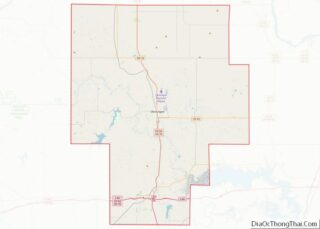
| State: | Oklahoma |
| County: | Okmulgee County |
| Elevation: | 699 ft (213 m) |
| Total Area: | 0.85 sq mi (2.20 km²) |
| Land Area: | 0.85 sq mi (2.20 km²) |
| Water Area: | 0.00 sq mi (0.00 km²) |
| Total Population: | 422 |
| Population Density: | 497.06/sq mi (192.01/km²) |
| ZIP code: | 74460 |
| Area code: | 539/918 |
| FIPS code: | 4065900 |
| GNISfeature ID: | 1097872 |
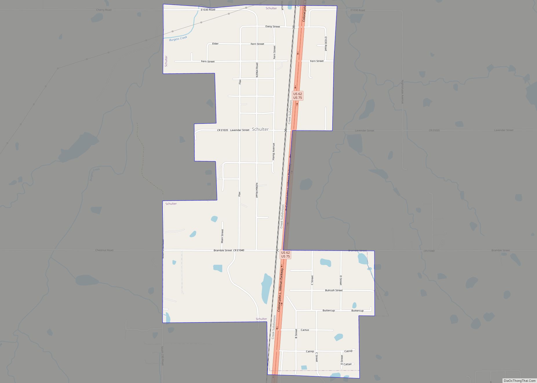
Online Interactive Map
Click on ![]() to view map in "full screen" mode.
to view map in "full screen" mode.
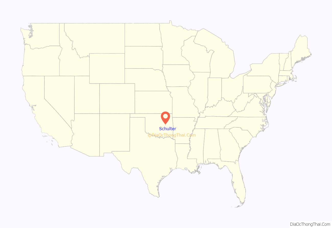
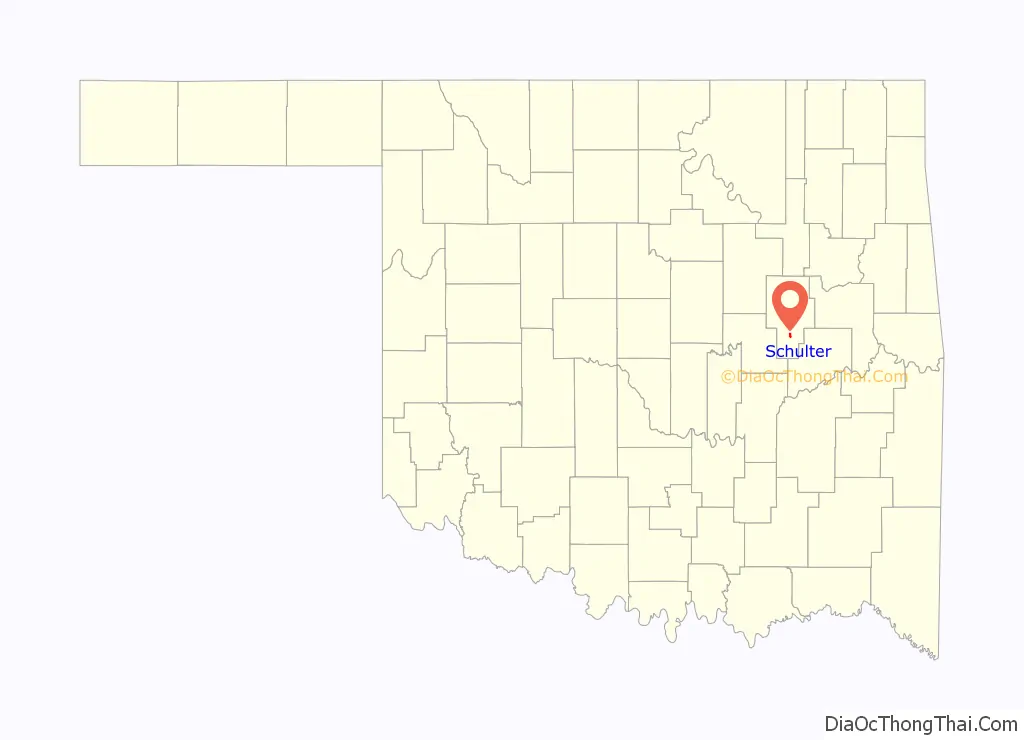
Schulter location map. Where is Schulter town?
History
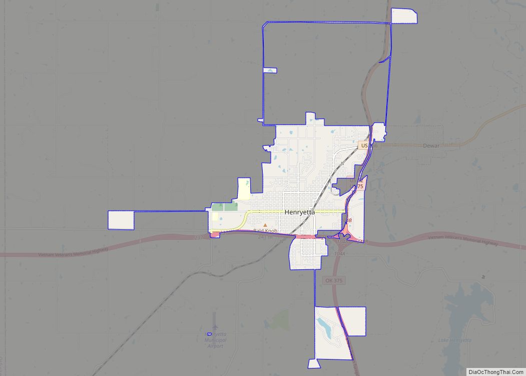
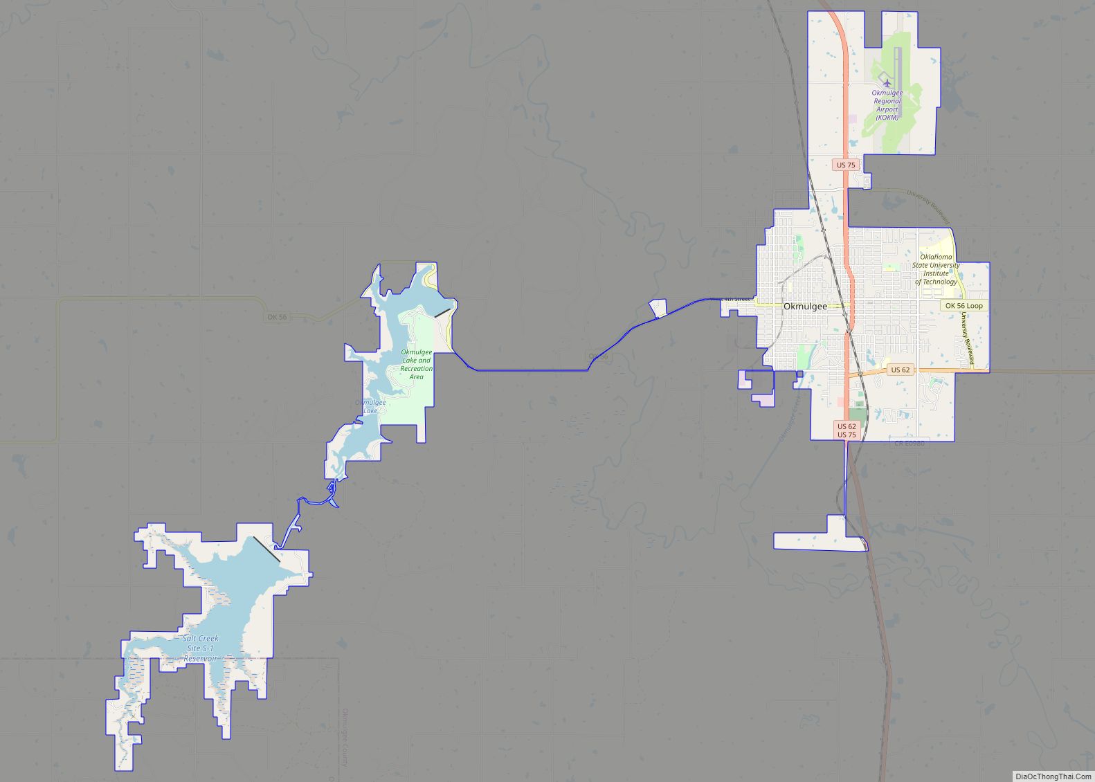
Located approximately eight miles south of Okmulgee and six miles north of Henryetta in Okmulgee County, just off U.S. routes 75 and 62, the original name of the town may have been Winchell. The town was added along the route of the St. Louis, Oklahoma and Southern Railway (later the St. Louis–San Francisco Railway, or Frisco) built between Okmulgee and Henryetta in 1900. The post office built in August 1903 was named for Matt Schulter, said to be a resident of St. Louis, Missouri. Coal mining in the Henryetta Coal Formation was an important early industry in the area, and attracted many nationalities of European immigrants. Early Schulter, circa 1909, had three coal company offices, phone service, a school, a general store, and even a pool hall for its 200 residents. Later, the town benefitted from oil exploration, production, and refining. The town’s peak population may have been circa 1930, at 650 people. The town did not officially incorporate until May 5, 1998.
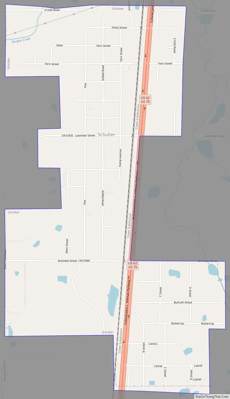
Schulter Road Map
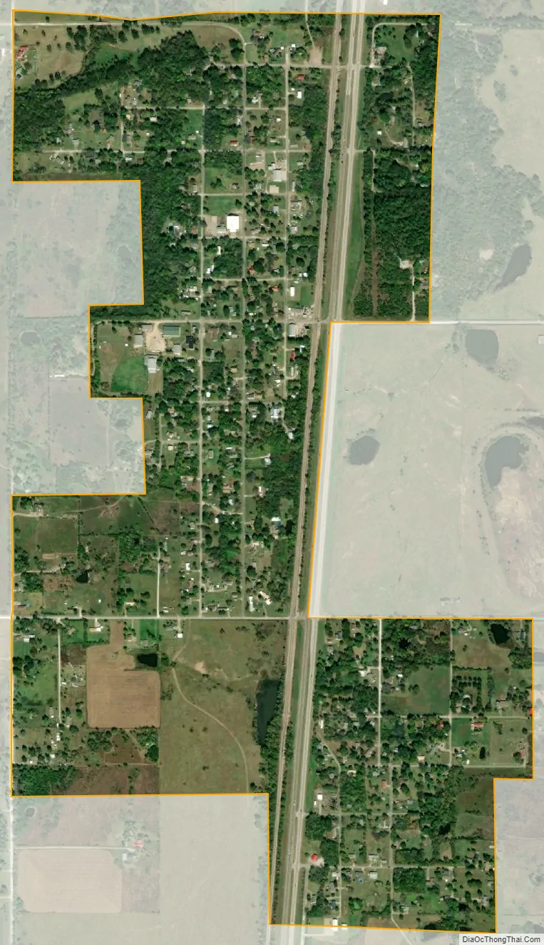
Schulter city Satellite Map
Geography
Schulter is located at 35°30′49″N 95°57′23″W / 35.51361°N 95.95639°W / 35.51361; -95.95639 (35.513628, -95.956432).
Okmulgee is north of town, while Henryetta is south. U.S. routes 75 and 62 run concurrently north and south through Schulter. Lake Eufaula is east-southeast of town.
According to the United States Census Bureau, the town has a total area of 0.9 square miles (2.3 km), all land.
See also
Map of Oklahoma State and its subdivision:- Adair
- Alfalfa
- Atoka
- Beaver
- Beckham
- Blaine
- Bryan
- Caddo
- Canadian
- Carter
- Cherokee
- Choctaw
- Cimarron
- Cleveland
- Coal
- Comanche
- Cotton
- Craig
- Creek
- Custer
- Delaware
- Dewey
- Ellis
- Garfield
- Garvin
- Grady
- Grant
- Greer
- Harmon
- Harper
- Haskell
- Hughes
- Jackson
- Jefferson
- Johnston
- Kay
- Kingfisher
- Kiowa
- Latimer
- Le Flore
- Lincoln
- Logan
- Love
- Major
- Marshall
- Mayes
- McClain
- McCurtain
- McIntosh
- Murray
- Muskogee
- Noble
- Nowata
- Okfuskee
- Oklahoma
- Okmulgee
- Osage
- Ottawa
- Pawnee
- Payne
- Pittsburg
- Pontotoc
- Pottawatomie
- Pushmataha
- Roger Mills
- Rogers
- Seminole
- Sequoyah
- Stephens
- Texas
- Tillman
- Tulsa
- Wagoner
- Washington
- Washita
- Woods
- Woodward
- Alabama
- Alaska
- Arizona
- Arkansas
- California
- Colorado
- Connecticut
- Delaware
- District of Columbia
- Florida
- Georgia
- Hawaii
- Idaho
- Illinois
- Indiana
- Iowa
- Kansas
- Kentucky
- Louisiana
- Maine
- Maryland
- Massachusetts
- Michigan
- Minnesota
- Mississippi
- Missouri
- Montana
- Nebraska
- Nevada
- New Hampshire
- New Jersey
- New Mexico
- New York
- North Carolina
- North Dakota
- Ohio
- Oklahoma
- Oregon
- Pennsylvania
- Rhode Island
- South Carolina
- South Dakota
- Tennessee
- Texas
- Utah
- Vermont
- Virginia
- Washington
- West Virginia
- Wisconsin
- Wyoming