Springer is a town in Carter County, Oklahoma, United States. The population was 700 at the 2010 census. It is part of the Ardmore, Oklahoma Micropolitan Statistical Area.
| Name: | Springer town |
|---|---|
| LSAD Code: | 43 |
| LSAD Description: | town (suffix) |
| State: | Oklahoma |
| County: | Carter County |
| Elevation: | 919 ft (280 m) |
| Total Area: | 15.12 sq mi (39.16 km²) |
| Land Area: | 14.92 sq mi (38.64 km²) |
| Water Area: | 0.20 sq mi (0.52 km²) |
| Total Population: | 685 |
| Population Density: | 45.91/sq mi (17.73/km²) |
| ZIP code: | 73458 |
| Area code: | 580 |
| FIPS code: | 4069500 |
| GNISfeature ID: | 1098454 |
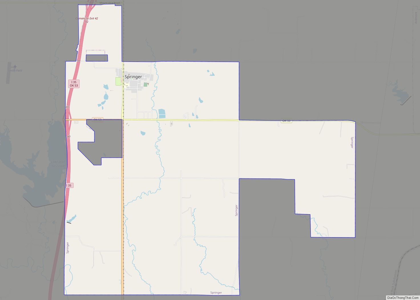
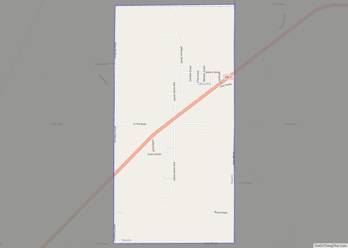
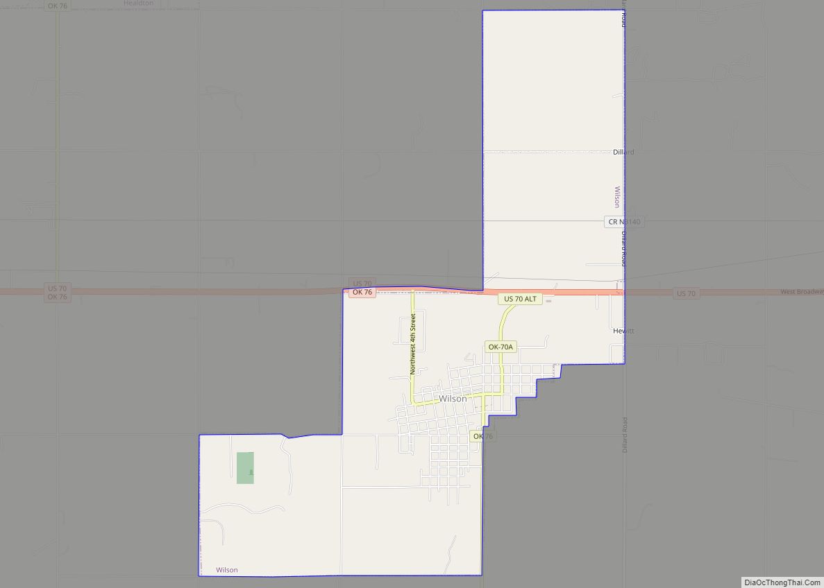
Online Interactive Map
Click on ![]() to view map in "full screen" mode.
to view map in "full screen" mode.
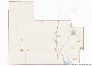
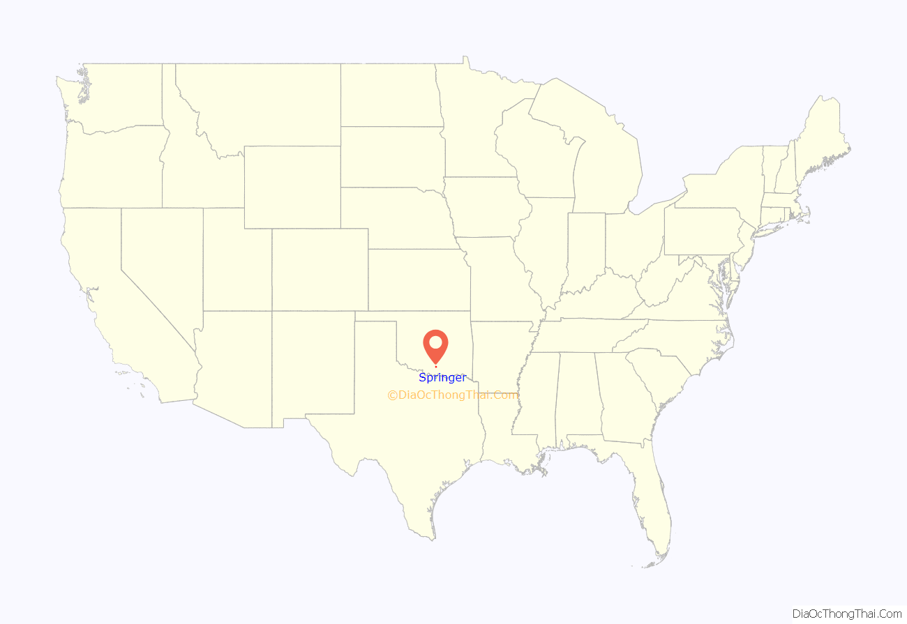
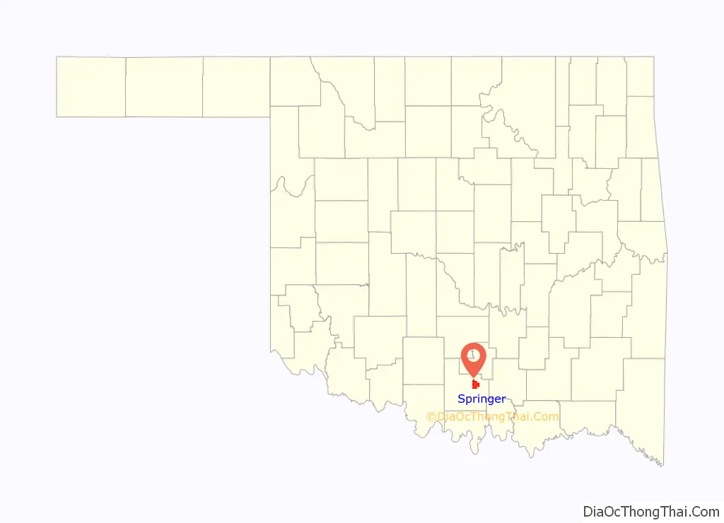
Springer location map. Where is Springer town?
History
A post office was established at Springer, Indian Territory on September 1, 1890. It was named for W.A. Springer, a pioneer rancher and cattleman.
At the time of its founding, Springer was located in Pickens County, Chickasaw Nation.
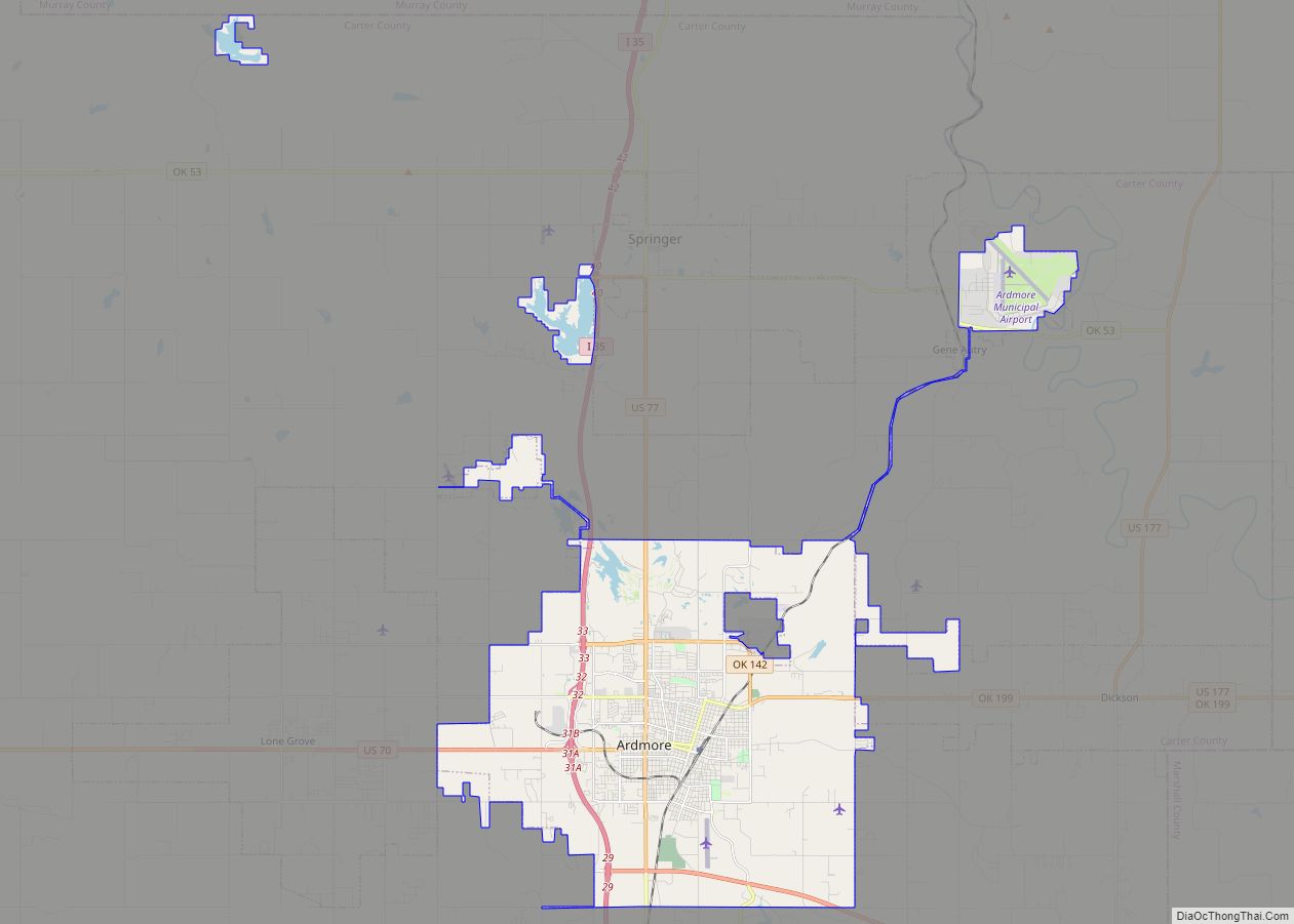
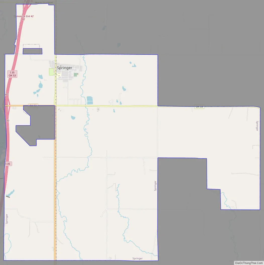
Springer Road Map
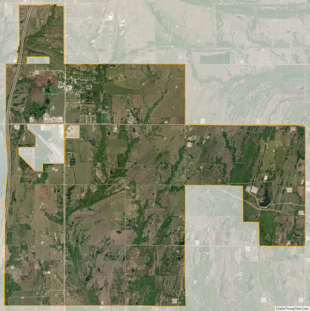
Springer city Satellite Map
Geography
Springer is located northeast of the center of Carter County at 34°18′16″N 97°8′11″W / 34.30444°N 97.13639°W / 34.30444; -97.13639 (34.304569, -97.136499). U.S. Route 77 passes through the center of town, and Interstate 35 runs along the western edge, with access from Exits 40 (Brooks Road) and 42 (State Highway 53). Ardmore, the Carter County seat, is 10 miles (16 km) to the south, and Davis is 14 miles (23 km) to the north.
According to the United States Census Bureau, the town of Springer has a total area of 15.1 square miles (39.2 km), of which 14.9 square miles (38.7 km) is land and 0.19 square miles (0.5 km), or 1.32%, is water. The town is located just south of the Arbuckle Mountains, a small range of hills.
See also
Map of Oklahoma State and its subdivision:- Adair
- Alfalfa
- Atoka
- Beaver
- Beckham
- Blaine
- Bryan
- Caddo
- Canadian
- Carter
- Cherokee
- Choctaw
- Cimarron
- Cleveland
- Coal
- Comanche
- Cotton
- Craig
- Creek
- Custer
- Delaware
- Dewey
- Ellis
- Garfield
- Garvin
- Grady
- Grant
- Greer
- Harmon
- Harper
- Haskell
- Hughes
- Jackson
- Jefferson
- Johnston
- Kay
- Kingfisher
- Kiowa
- Latimer
- Le Flore
- Lincoln
- Logan
- Love
- Major
- Marshall
- Mayes
- McClain
- McCurtain
- McIntosh
- Murray
- Muskogee
- Noble
- Nowata
- Okfuskee
- Oklahoma
- Okmulgee
- Osage
- Ottawa
- Pawnee
- Payne
- Pittsburg
- Pontotoc
- Pottawatomie
- Pushmataha
- Roger Mills
- Rogers
- Seminole
- Sequoyah
- Stephens
- Texas
- Tillman
- Tulsa
- Wagoner
- Washington
- Washita
- Woods
- Woodward
- Alabama
- Alaska
- Arizona
- Arkansas
- California
- Colorado
- Connecticut
- Delaware
- District of Columbia
- Florida
- Georgia
- Hawaii
- Idaho
- Illinois
- Indiana
- Iowa
- Kansas
- Kentucky
- Louisiana
- Maine
- Maryland
- Massachusetts
- Michigan
- Minnesota
- Mississippi
- Missouri
- Montana
- Nebraska
- Nevada
- New Hampshire
- New Jersey
- New Mexico
- New York
- North Carolina
- North Dakota
- Ohio
- Oklahoma
- Oregon
- Pennsylvania
- Rhode Island
- South Carolina
- South Dakota
- Tennessee
- Texas
- Utah
- Vermont
- Virginia
- Washington
- West Virginia
- Wisconsin
- Wyoming