Stuart is a town in southeastern Hughes County, Oklahoma, United States. The population was 180 at the 2010 census, down from 220 in 2000.
| Name: | Stuart town |
|---|---|
| LSAD Code: | 43 |
| LSAD Description: | town (suffix) |
| State: | Oklahoma |
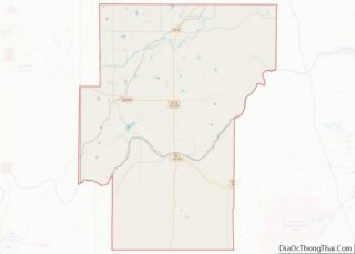
| County: | Hughes County |
| Elevation: | 735 ft (224 m) |
| Total Area: | 0.27 sq mi (0.71 km²) |
| Land Area: | 0.27 sq mi (0.71 km²) |
| Water Area: | 0.00 sq mi (0.00 km²) |
| Total Population: | 192 |
| Population Density: | 703.30/sq mi (271.20/km²) |
| ZIP code: | 74570 |
| Area code: | 539/918 |
| FIPS code: | 4071050 |
| GNISfeature ID: | 1098590 |
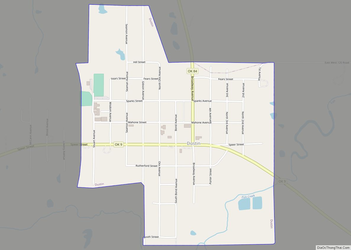
Online Interactive Map
Click on ![]() to view map in "full screen" mode.
to view map in "full screen" mode.
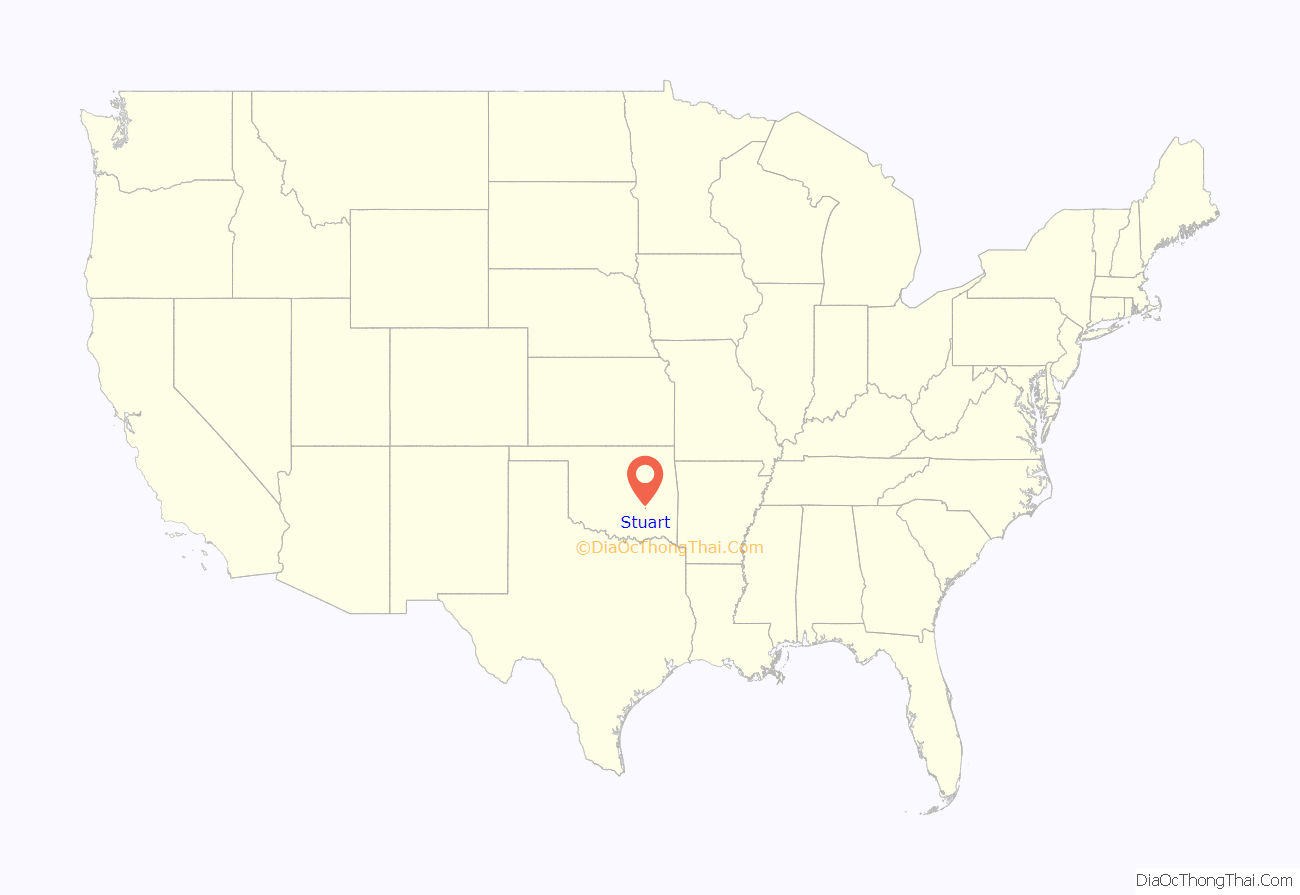
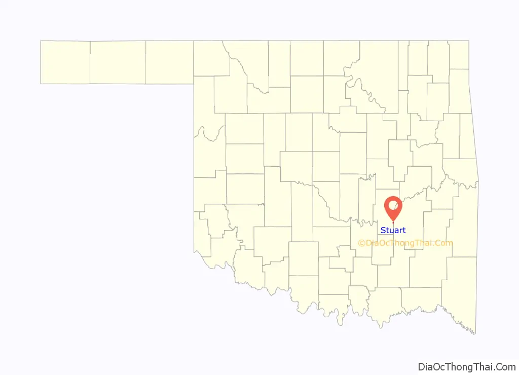
Stuart location map. Where is Stuart town?
History
In the late 19th Century, a settlement known as Hoyuby, Indian Territory, existed at this site in the Choctaw Nation. Hoyuby post office was established June 23, 1892, with John H. Elliott as the first postmaster. The community began growing after 1895, when the Choctaw, Oklahoma and Gulf Railroad (later the Chicago, Rock Island and Pacific Railroad) built a line through Stuart, connecting it to McAlester and Oklahoma City. On April 14, 1896, the post office was renamed Stuart, in honor of Judge Charles Bingley Stuart of McAlester.
Berry Alexander “B. A.” and Mary Youngblood Nunn came from Texas to Stuart and built a two-story, wood-frame hotel that became known as the Stuart Hotel (listed in the National Register of Historic Places, NR 82001496). By 1909 local citizens had established Baptist, Christian, and Methodist churches. The Bank of Stuart, five general stores, two blacksmith shops, two lumberyards, a cotton gin, and several liveries served the surrounding agricultural area. Cotton was the main cash crop. Royal C. Stuart, Judge Stuart’s son, started his banking career as a cashier at the Bank of Stuart. Nine years later the economy supported a second bank, the Stuart Chronicle newspaper, a gristmill, and the Choctaw Cotton Oil Company. Other early newspapers included the Stuart Educator, the Stuart Enterprise, and the Stuart Star. In the 1930s Stuart served as a watering station for the railroad. In addition, the town also had a blacksmith, two cotton gins, and the Texas Pipe Line Company. By the 1940s and 1950s both banks had closed, and citizens traveled to Holdenville or McAlester for their banking needs. Grocery stores and gasoline stations continued to operate in Stuart.
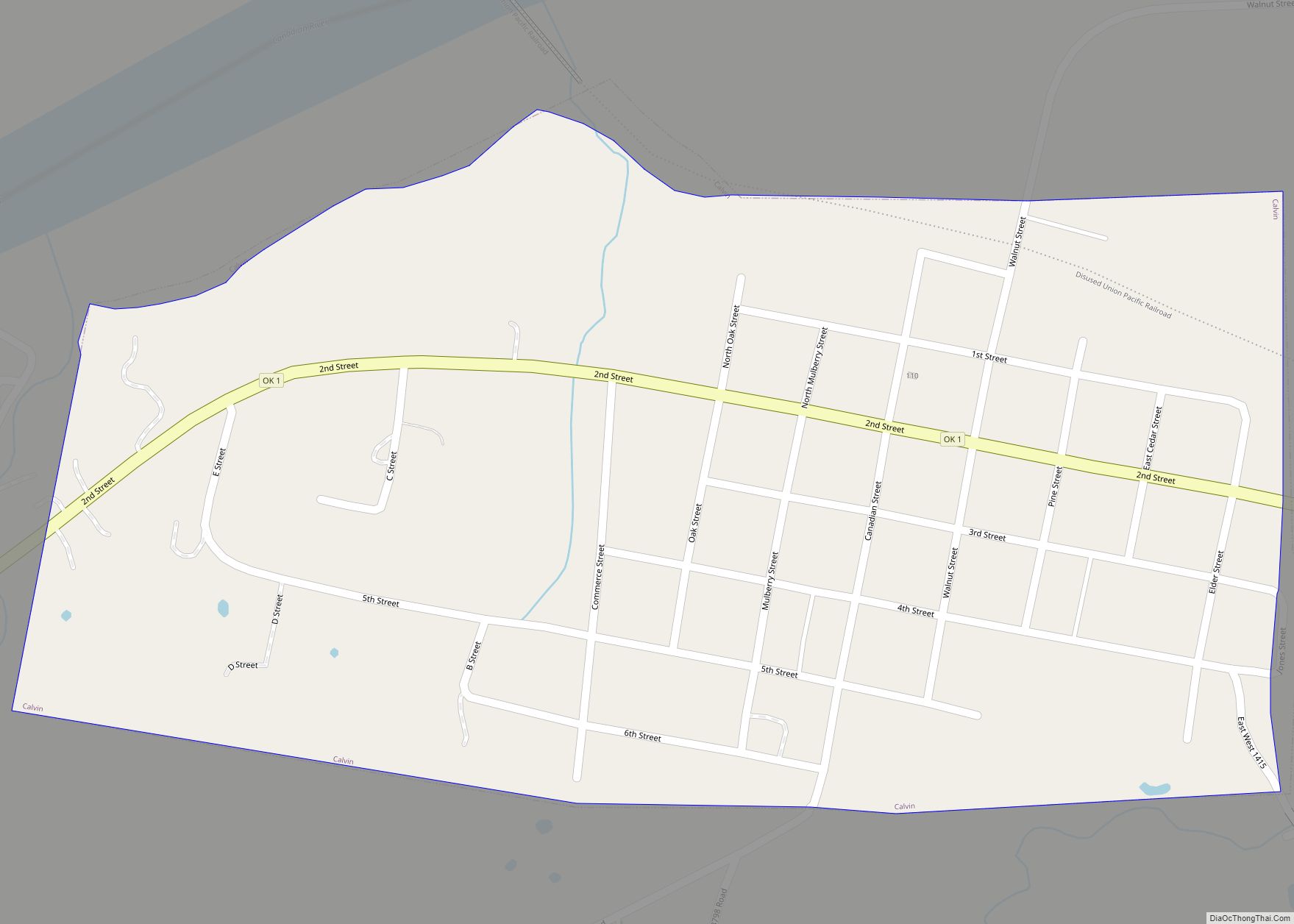
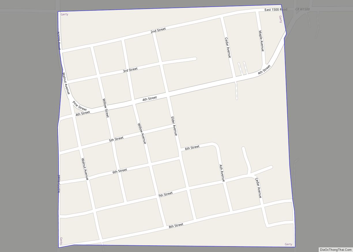
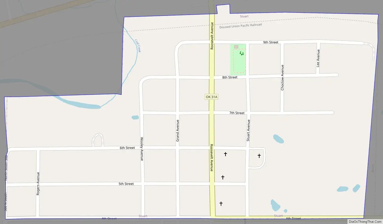
Stuart Road Map
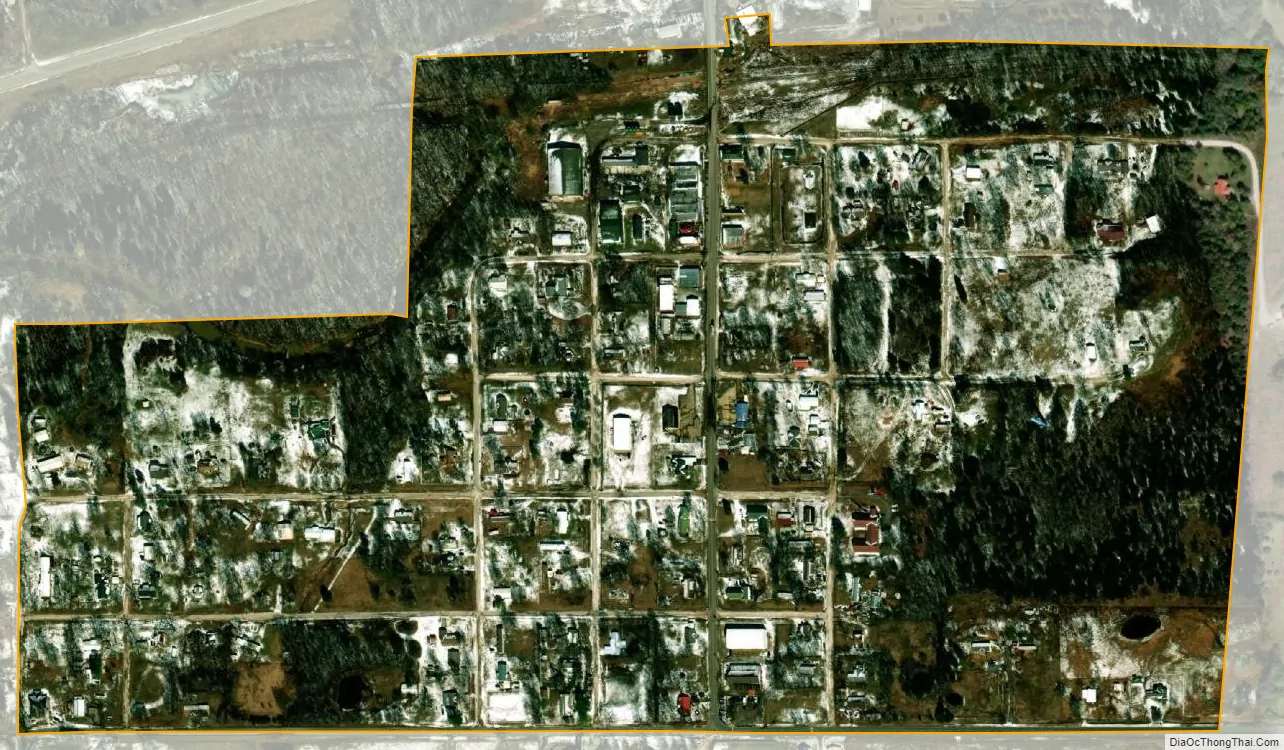
Stuart city Satellite Map
Geography
Stuart is located in southeastern Hughes County at 34°54′3″N 96°6′0″W / 34.90083°N 96.10000°W / 34.90083; -96.10000 (34.900839, -96.100035). U.S. Route 270 passes just north of the town, leading east 20 miles (32 km) to McAlester and west 10 miles (16 km) to Calvin. Holdenville, the Hughes county seat, is 27 miles (43 km) to the northwest via US 270.
According to the United States Census Bureau, Stuart has a total area of 0.3 square miles (0.7 km), all land. Coal Creek runs through the northwest corner of the town, flowing east toward Eufaula Lake on the Canadian River.
See also
Map of Oklahoma State and its subdivision:- Adair
- Alfalfa
- Atoka
- Beaver
- Beckham
- Blaine
- Bryan
- Caddo
- Canadian
- Carter
- Cherokee
- Choctaw
- Cimarron
- Cleveland
- Coal
- Comanche
- Cotton
- Craig
- Creek
- Custer
- Delaware
- Dewey
- Ellis
- Garfield
- Garvin
- Grady
- Grant
- Greer
- Harmon
- Harper
- Haskell
- Hughes
- Jackson
- Jefferson
- Johnston
- Kay
- Kingfisher
- Kiowa
- Latimer
- Le Flore
- Lincoln
- Logan
- Love
- Major
- Marshall
- Mayes
- McClain
- McCurtain
- McIntosh
- Murray
- Muskogee
- Noble
- Nowata
- Okfuskee
- Oklahoma
- Okmulgee
- Osage
- Ottawa
- Pawnee
- Payne
- Pittsburg
- Pontotoc
- Pottawatomie
- Pushmataha
- Roger Mills
- Rogers
- Seminole
- Sequoyah
- Stephens
- Texas
- Tillman
- Tulsa
- Wagoner
- Washington
- Washita
- Woods
- Woodward
- Alabama
- Alaska
- Arizona
- Arkansas
- California
- Colorado
- Connecticut
- Delaware
- District of Columbia
- Florida
- Georgia
- Hawaii
- Idaho
- Illinois
- Indiana
- Iowa
- Kansas
- Kentucky
- Louisiana
- Maine
- Maryland
- Massachusetts
- Michigan
- Minnesota
- Mississippi
- Missouri
- Montana
- Nebraska
- Nevada
- New Hampshire
- New Jersey
- New Mexico
- New York
- North Carolina
- North Dakota
- Ohio
- Oklahoma
- Oregon
- Pennsylvania
- Rhode Island
- South Carolina
- South Dakota
- Tennessee
- Texas
- Utah
- Vermont
- Virginia
- Washington
- West Virginia
- Wisconsin
- Wyoming