Talihina (pronounced “tah-luh-HEE-nuh”) is a town in LeFlore County, Oklahoma, United States, its name originating from two Choctaw words, tully and hena, meaning iron road. Iron road is reference to the railroad that the town was built around. It is part of the Fort Smith, Arkansas–Oklahoma Metropolitan Statistical Area. The population was 1,114 at the 2010 census, a loss of 8.0 percent from 1,211 at the 2000 census.
| Name: | Talihina town |
|---|---|
| LSAD Code: | 43 |
| LSAD Description: | town (suffix) |
| State: | Oklahoma |
| County: | Le Flore County |
| Elevation: | 682 ft (208 m) |
| Total Area: | 1.00 sq mi (2.58 km²) |
| Land Area: | 0.99 sq mi (2.57 km²) |
| Water Area: | 0.01 sq mi (0.02 km²) |
| Total Population: | 925 |
| Population Density: | 933.40/sq mi (360.25/km²) |
| FIPS code: | 4072250 |
| GNISfeature ID: | 1098731 |
| Website: | http://www.talihinacc.com |
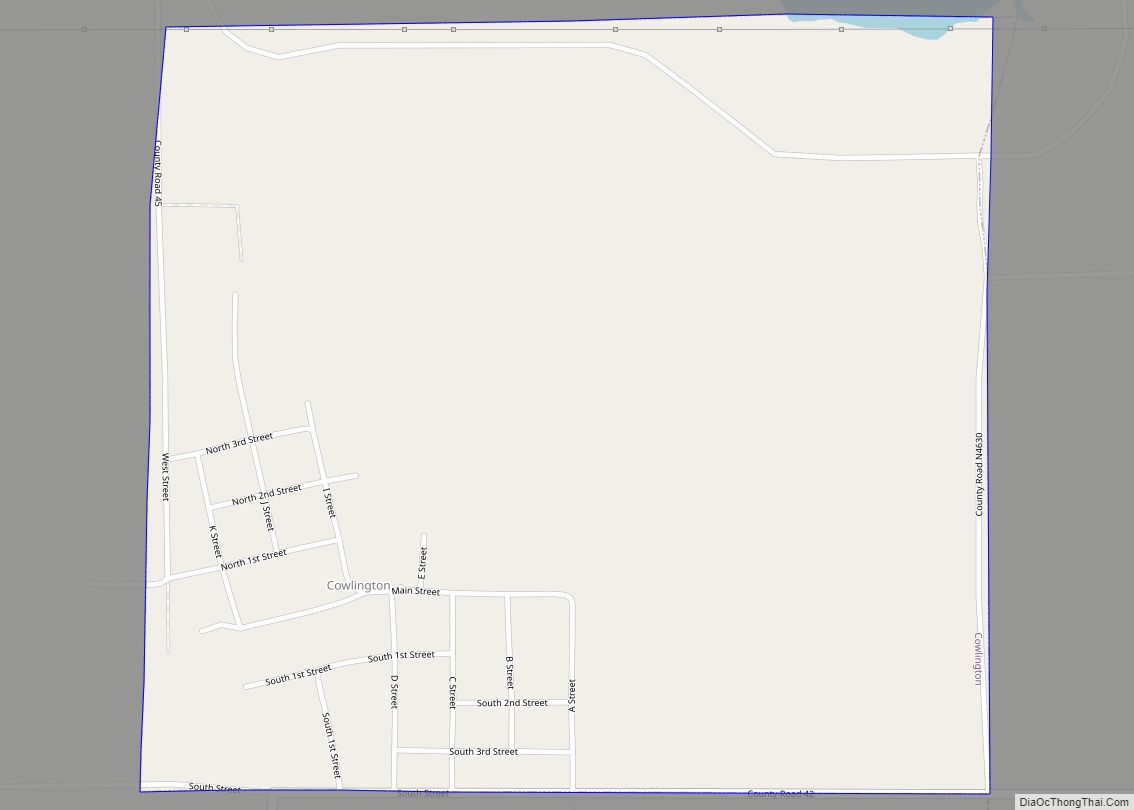
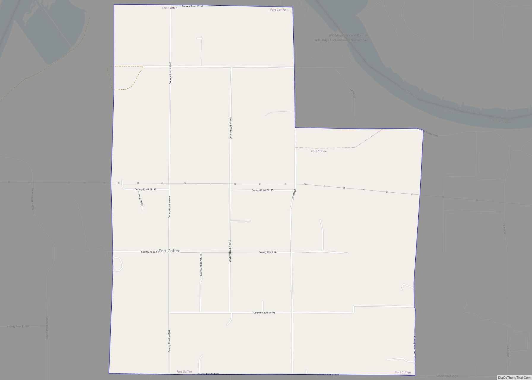
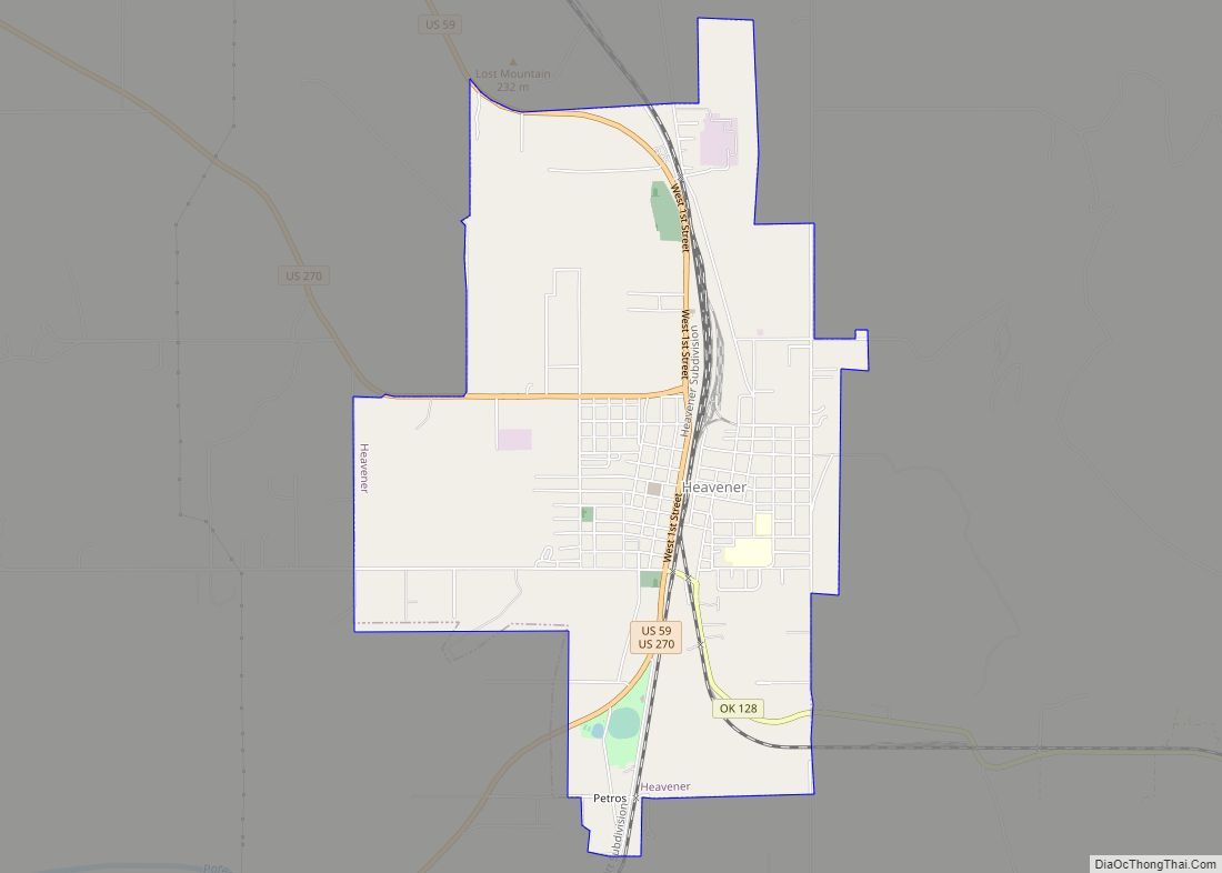
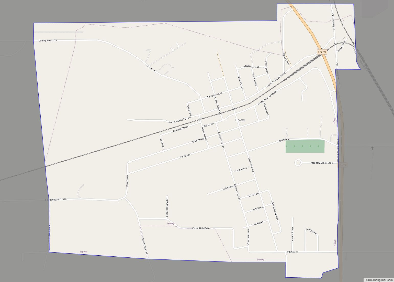
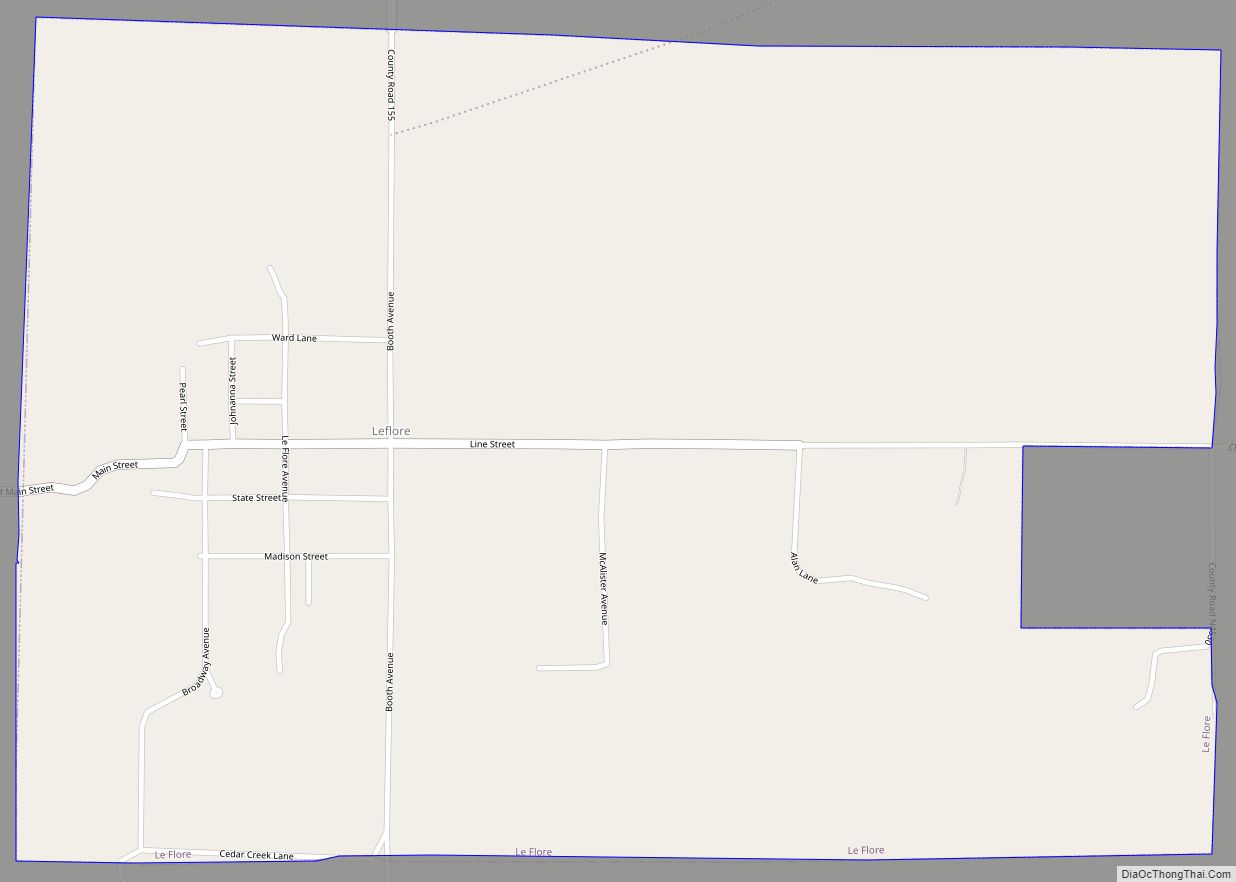
Online Interactive Map
Click on ![]() to view map in "full screen" mode.
to view map in "full screen" mode.
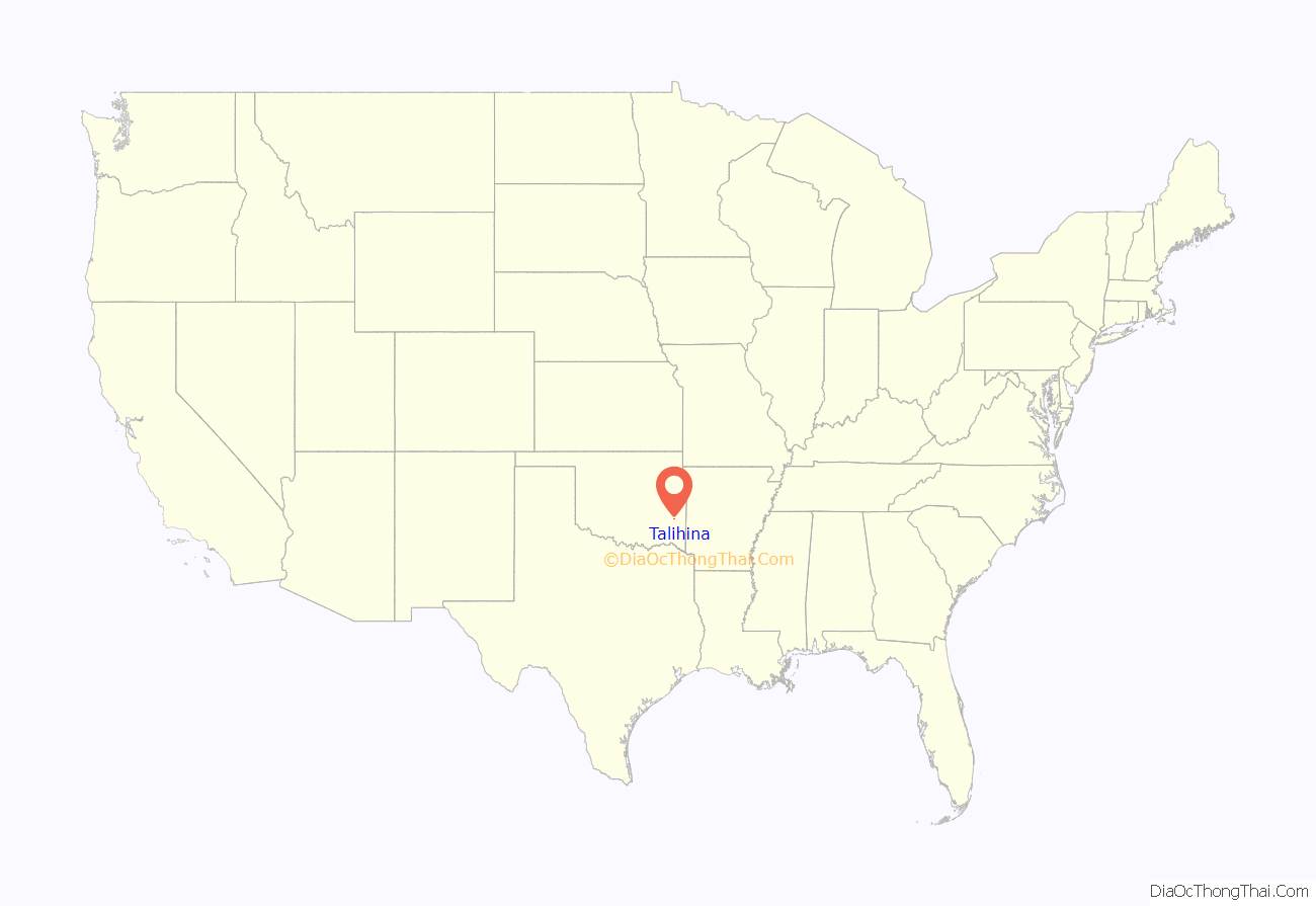
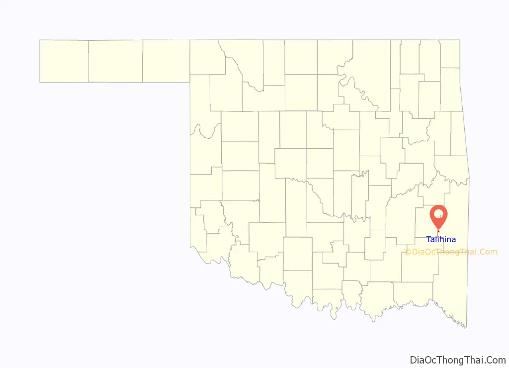
Talihina location map. Where is Talihina town?
History
The community was founded as a station stop on the St. Louis and San Francisco Railroad, which opened through the Indian Territory in June 1887. A post office opened at Talihina, Indian Territory on November 30, 1887. Talihina is the Choctaw Indian word for “railroad.”
At the time of its founding, Talihina was located in Wade County, a part of the Apukshunnubbee District of the Choctaw Nation.
The railroad opened the surrounding area to ship cattle, timber, and cotton to Eastern markets and facilitated growth of the town. When Talihina incorporated in 1905, the town claimed a population of 400. Two major hospitals, the Choctaw-Chickasaw Tuberculosis Sanatorium and the Eastern Oklahoma State Tuberculosis Sanatorium, were built here between 1915 and 1921. By 1920, the population had grown to 690.
Tourism and recreation have been a major economic stimulus since the 1920s. Six lakes have been built in the Kiamichi Valley, attracting sportsmen and campers. Talimena State Park and Old Military Road historic site (National Register of Historic Places, NR 76002155) are 7 miles (11 km) northeast of Talihina. This is the western end of the Talimena Scenic Drive, which runs to Mena, Arkansas and attracts many people to view the fall foliage.
The Choctaw Nation Health Center was constructed in Talihina in 1999.
Talihina Road Map

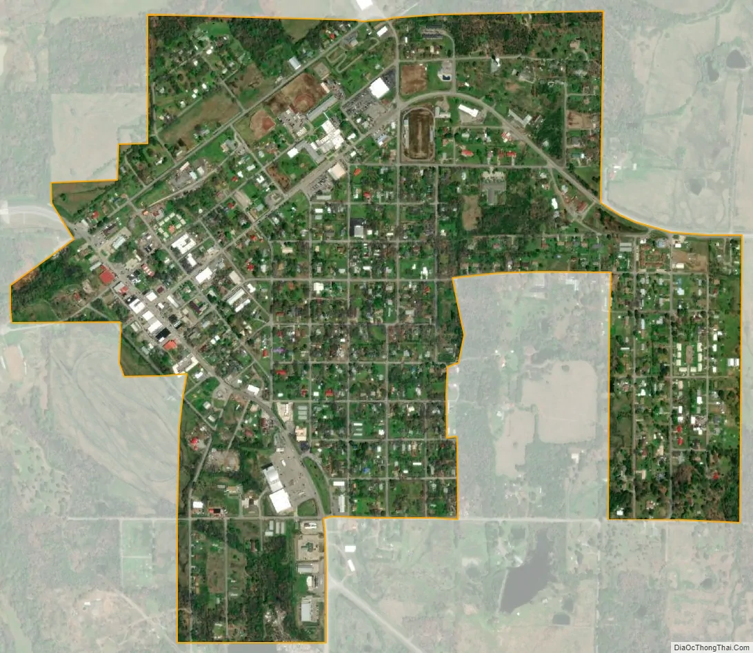
Talihina city Satellite Map
Geography
Talihina is located at 34°45′6″N 95°2′28″W / 34.75167°N 95.04111°W / 34.75167; -95.04111 (34.751602, −95.041207). It is in the Kiamichi Valley between the Kiamichi and Winding Stair Mountains, approximately 39 miles (63 km) southwest of Poteau, the LeFlore County seat.
According to the United States Census Bureau, the town has a total area of 0.8 square miles (2.1 km), all land.
See also
Map of Oklahoma State and its subdivision:- Adair
- Alfalfa
- Atoka
- Beaver
- Beckham
- Blaine
- Bryan
- Caddo
- Canadian
- Carter
- Cherokee
- Choctaw
- Cimarron
- Cleveland
- Coal
- Comanche
- Cotton
- Craig
- Creek
- Custer
- Delaware
- Dewey
- Ellis
- Garfield
- Garvin
- Grady
- Grant
- Greer
- Harmon
- Harper
- Haskell
- Hughes
- Jackson
- Jefferson
- Johnston
- Kay
- Kingfisher
- Kiowa
- Latimer
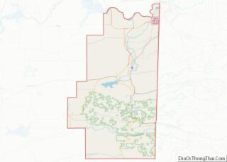
- Le Flore
- Lincoln
- Logan
- Love
- Major
- Marshall
- Mayes
- McClain
- McCurtain
- McIntosh
- Murray
- Muskogee
- Noble
- Nowata
- Okfuskee
- Oklahoma
- Okmulgee
- Osage
- Ottawa
- Pawnee
- Payne
- Pittsburg
- Pontotoc
- Pottawatomie
- Pushmataha
- Roger Mills
- Rogers
- Seminole
- Sequoyah
- Stephens
- Texas
- Tillman
- Tulsa
- Wagoner
- Washington
- Washita
- Woods
- Woodward
- Alabama
- Alaska
- Arizona
- Arkansas
- California
- Colorado
- Connecticut
- Delaware
- District of Columbia
- Florida
- Georgia
- Hawaii
- Idaho
- Illinois
- Indiana
- Iowa
- Kansas
- Kentucky
- Louisiana
- Maine
- Maryland
- Massachusetts
- Michigan
- Minnesota
- Mississippi
- Missouri
- Montana
- Nebraska
- Nevada
- New Hampshire
- New Jersey
- New Mexico
- New York
- North Carolina
- North Dakota
- Ohio
- Oklahoma
- Oregon
- Pennsylvania
- Rhode Island
- South Carolina
- South Dakota
- Tennessee
- Texas
- Utah
- Vermont
- Virginia
- Washington
- West Virginia
- Wisconsin
- Wyoming