Tamaha is a town in Haskell County, Oklahoma, United States. The population was 176 at the 2010 census, a decline of 11.1 percent from the figure of 198 in 2000. Tamaha is a Choctaw word meaning town.
| Name: | Tamaha town |
|---|---|
| LSAD Code: | 43 |
| LSAD Description: | town (suffix) |
| State: | Oklahoma |
| County: | Haskell County |
| Elevation: | 502 ft (153 m) |
| Total Area: | 6.45 sq mi (16.71 km²) |
| Land Area: | 6.43 sq mi (16.65 km²) |
| Water Area: | 0.02 sq mi (0.06 km²) |
| Total Population: | 152 |
| Population Density: | 23.65/sq mi (9.13/km²) |
| ZIP code: | 74462 |
| Area code: | 539/918 |
| FIPS code: | 4072400 |
| GNISfeature ID: | 1098741 |
Online Interactive Map
Click on ![]() to view map in "full screen" mode.
to view map in "full screen" mode.
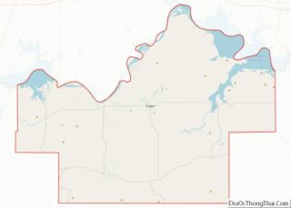
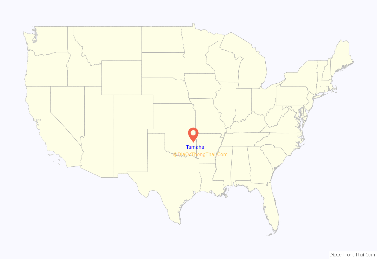
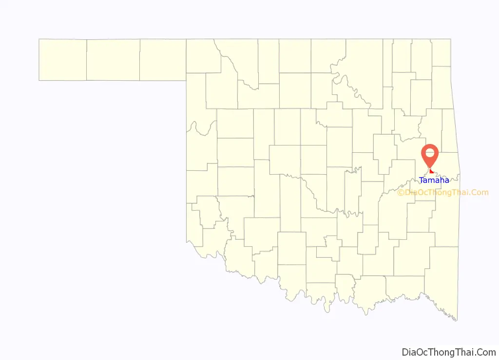
Tamaha location map. Where is Tamaha town?
History
Tamaha began as a riverboat landing on the Arkansas River in the 1830s. Initially, the community was called Pleasant Bluff, after a nearby geographic feature. During the Civil War, the Union steamer, J. R. Williams, had carried supplies for the Union army between Fort Smith, Arkansas and Fort Gibson in Indian Territory. On June 15, 1864, Confederate forces under Colonel Stand Watie attacked with cannon and small arms fire as the ship negotiated a bend at Pleasant Bluff. The ship was crippled and ran aground, where the Confederates captured it. According to the Encyclopedia of Oklahoma History and Culture, the rusted skeleton of the steamer remains where it was grounded.
At the time of its founding, Tamaha was located in the Moshulatubbee District of the Choctaw Nation.
The town grew slowly after the Civil War. The name changed to Tamaha in 1884, when a post office was established. It had a population of 237 in 1900, increasing to 501 in 1920. However, riverboat traffic, the major source of business, ceased in 1912, Two fires, one in 1919 and the other in 1930, destroyed much of the town. The population fell to 202 in 1930 and declined to its historic low of 80 in 1960. Most of the former residents moved to the nearby town of Stigler. The post office closed in 1954. In the 21st Century, the main source of business is travel by vacationers, attracted by the nearby Kerr Lake. The only physical link to the town’s past is the Tamaha Jail and Ferry Landing, listed on the National Register of Historic Places (NR 80003266).
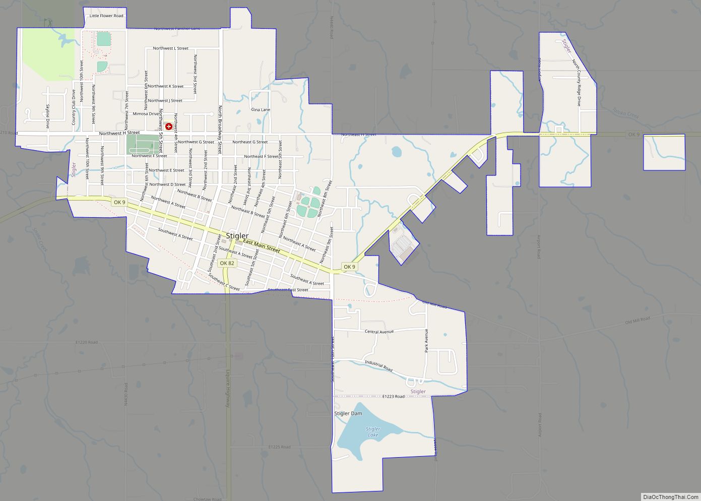
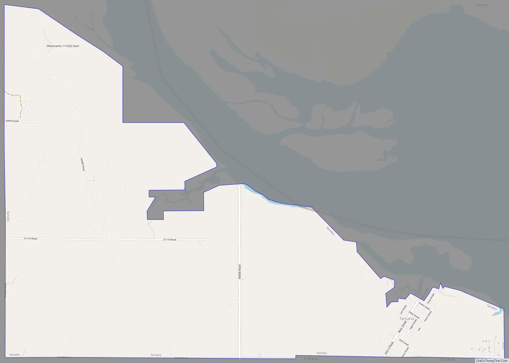
Tamaha Road Map
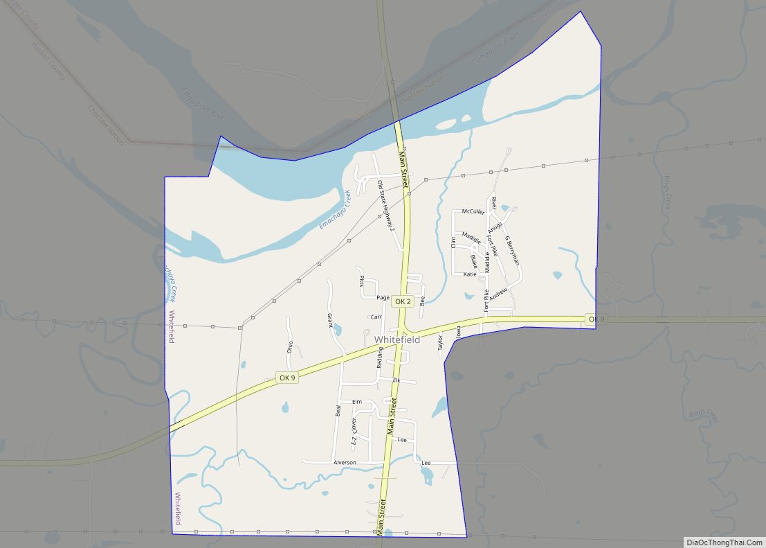
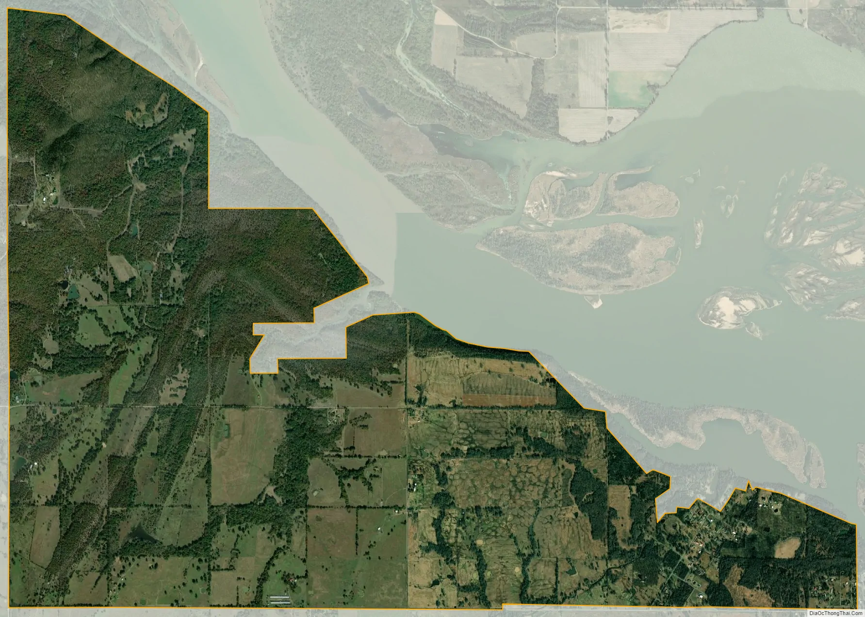
Tamaha city Satellite Map
Geography
Tamaha is at 35°23′38″N 94°59′18″W / 35.39389°N 94.98833°W / 35.39389; -94.98833 (35.394003, -94.988218). It is located on the banks of the Arkansas River, 13 miles (21 km) north northeast of Stigler and 6 miles (9.7 km) south of Vian.
According to the United States Census Bureau, the town has a total area of 6.4 square miles (17 km), of which 6.4 square miles (17 km) is land and 0.16% is water.
See also
Map of Oklahoma State and its subdivision:- Adair
- Alfalfa
- Atoka
- Beaver
- Beckham
- Blaine
- Bryan
- Caddo
- Canadian
- Carter
- Cherokee
- Choctaw
- Cimarron
- Cleveland
- Coal
- Comanche
- Cotton
- Craig
- Creek
- Custer
- Delaware
- Dewey
- Ellis
- Garfield
- Garvin
- Grady
- Grant
- Greer
- Harmon
- Harper
- Haskell
- Hughes
- Jackson
- Jefferson
- Johnston
- Kay
- Kingfisher
- Kiowa
- Latimer
- Le Flore
- Lincoln
- Logan
- Love
- Major
- Marshall
- Mayes
- McClain
- McCurtain
- McIntosh
- Murray
- Muskogee
- Noble
- Nowata
- Okfuskee
- Oklahoma
- Okmulgee
- Osage
- Ottawa
- Pawnee
- Payne
- Pittsburg
- Pontotoc
- Pottawatomie
- Pushmataha
- Roger Mills
- Rogers
- Seminole
- Sequoyah
- Stephens
- Texas
- Tillman
- Tulsa
- Wagoner
- Washington
- Washita
- Woods
- Woodward
- Alabama
- Alaska
- Arizona
- Arkansas
- California
- Colorado
- Connecticut
- Delaware
- District of Columbia
- Florida
- Georgia
- Hawaii
- Idaho
- Illinois
- Indiana
- Iowa
- Kansas
- Kentucky
- Louisiana
- Maine
- Maryland
- Massachusetts
- Michigan
- Minnesota
- Mississippi
- Missouri
- Montana
- Nebraska
- Nevada
- New Hampshire
- New Jersey
- New Mexico
- New York
- North Carolina
- North Dakota
- Ohio
- Oklahoma
- Oregon
- Pennsylvania
- Rhode Island
- South Carolina
- South Dakota
- Tennessee
- Texas
- Utah
- Vermont
- Virginia
- Washington
- West Virginia
- Wisconsin
- Wyoming